Badger Way Stoop
Landmark In Barnard Castle, County Durham
A Grade II Listed Ancient waymarker on an old trading route along the County Durham and North Yorkshire border.
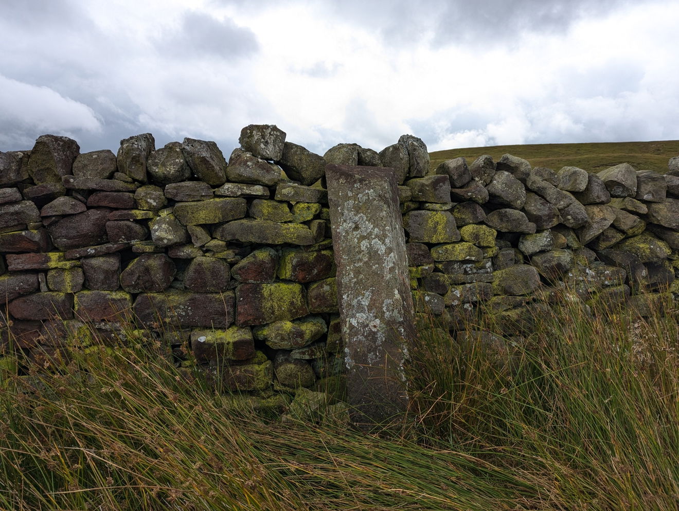
The Badger Way Stoop stands in a lonely spot high on Barningham Moor, straddling the boundary between County Durham & North Yorkshire. Stoops are an old form of waymarkers, they can often be found on moorland. In the days before GPS such waymarking would have been important for navigating, particularly assistive on the bleak moors.
Measuring 1.3 metres high, the carved words 'Badger Way Stoop' can clearly be made out whilst the letter 'B' appears on the top, referring to the nearby village of Barningham and signifying the parish boundary.
Image Below: The words Badger Way Stop and the B atop still clearly visible despite hundreds of years on the windswept moors!
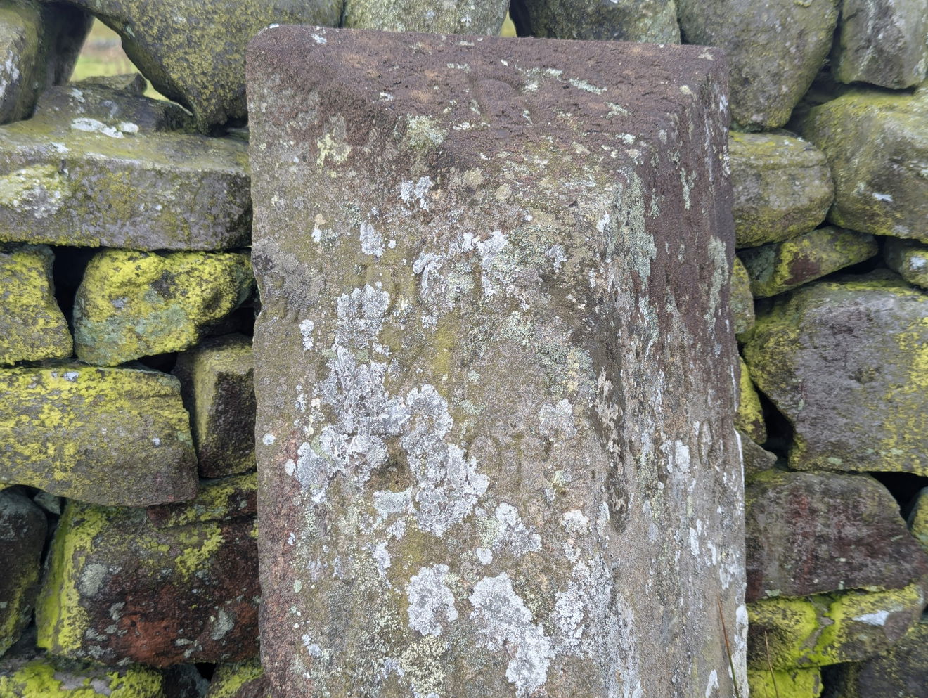
Stoop itself is an old Norse word which was used in Northern England to describe a pillar or post. These would be made of stone or wood. Around 1697 an Act of Parliament was passed essentially making Stoops official. The Act meant that local Justices of the Peace had to erect guide posts. There was no guidance on how the Stoops should look so they can all look different! The Badger Way Scoop is believe to herald from the 18th century.
The burning question though is what does this all have to do with badgers?
Images Below show the view along the Badger Way and the difference in terrain!


The name itself actually has nothing to do with the charismatic black and white mammal but instead refers to an old English word for an individual seller or trader of food. So this route would have been take by individual food traders who would travel from markets to either smaller markets or smaller communities to sell their goods.
It's hard to imagine what it must have been like coming across the moors with your goods, hoping to sell the same to locals. Or for the locals waiting to see what the seller had available. It's certainly different to ordering your groceries online with a given time slot!
Images Below: Boundary Stone with a faint 'B' not far from the Badger Way Scoop and the trig point at nearby How Tallon


The trig point at How Tallon is only a short distance from the Badger Way Stoop and worth the uphill effort. The views across the North Pennines and County Durham are tremendous and give a real sense of the remoteness of this part of the world.
How Tallon itself is also interesting. The trig point location sits atop a prehistoric burial mound. The boundary wall behind is said to include cup-marked stones taken from this mound. We didn't stop to look as the weather changed so can't say if these are still there! There are said to be a number of prehistoric sights across the moors here.
Images Below: Far reaching views from the Badger Way and Moorland Heather.


The route we took was a loop of over 10 miles from Barningham and passed through the nearby Stang Forest. The whole area is a great place to walk, it's a quiet location sitting between the more well known Yorkshire Dales and North Pennines.
The route detailed here is shorter at 5.75 miles and is an out and back from Barningham Village. It's generally good underfoot though does become Moorland and steep, particularly on the final approach to How Tallon. It is possible to park on the Moorland Road for a shorter walk. Barningham Village has both a pub and tearoom so there are refreshments available at the end!
Badger Way Stoop is one of those things which is quite easy to overlook but is an important part of the history and heritage of the area with small reminders of it right in plain sight.
Follow the route or open on OS Maps. Just over 4.5km to get there with 234m of climbing.
Follow On OS MapsGet 4 points if you have visited this place. Already visited by 7 VIPs.
Login to the VIP area to add places to your bucket list, mark them as visited and more importantly see where you rank on the league table.
How To Find Badger Way Stoop
Where Is Badger Way Stoop?
Lat / Long
54.46480575871277, -1.901962247274156
What three words
Where To Park For Badger Way Stoop?
Lat / Long
54.48811783192022, -1.8701585884244878
What three words
Suggested roadside parking in Barningham Village opposite the Village Green. There is closer roadside parking on the Moorland Road to Haythwaite.
Contributed by Sean Linley
A keen walker and wildlife enthusiast and dog dad originally from Leeds but a Newcastle resident for 10 years with a passion for history and heritage. Always curious about my local area and always on the lookout for something new. You’ll often find me studying the OS map for new places to explore!
More Places from Sean
More Places In Barnard Castle
Find more fabulous places in Barnard Castle, County Durham and if you know of a place we haven't listed, then let us know.
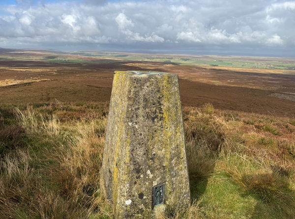
Citron Seat Trig Point
Trig Point Barnard Castle County DurhamThe Citron Seat trig point sits on Gilmonby Moor (446m) near Barnard Castle.
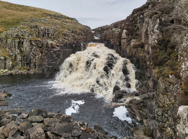
Cauldron Snout
Waterfall Barnard Castle County DurhamAt 180m it is the longest waterfall in the UK and is fed from Cow Green Reservoir.
Raby Castle
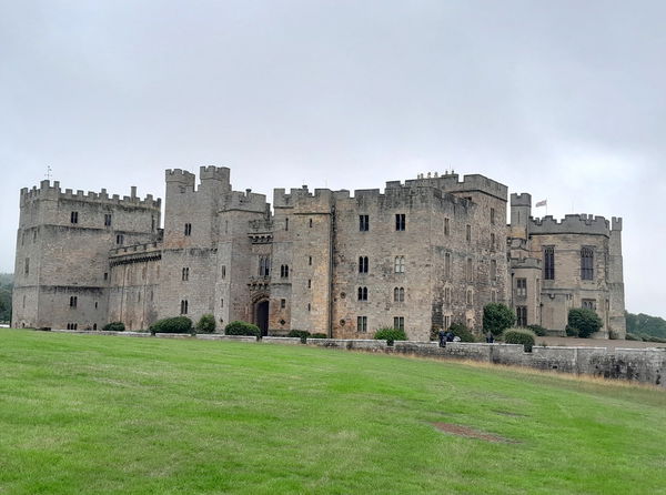
Castle Barnard Castle County DurhamMedieval, Regency, and Victorian splendour all under several roofs. A wonderful deer park and woods. Oh and of course, it's haunted!
More Landmarks
So this landmark wasn't enough and you want more? Don't worry we have you covered.

Lanshaw Lad Boundary Stone
Landmark Ilkley Moor West YorkshireA 19th Century Boundary Stone on Ilkley Moor.

Tide Stone
Landmark Newburn Tyne And WearThe tide stone was a 1783 stone marker denoting the tidal limit of the river Tyne before it moved further upstream to Wylam.
Penmanshiel Tunnel Monument
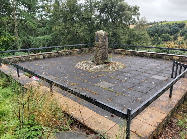
Landmark Duns BordersA monument to two engineers who died during the collapse of the Penmanshiel Tunnel expansion.
Never Miss A Fabulous Place
If you are afraid of missing out on all the fabulous places we post, or just want to be the first to know, then sign up to the Fabulous North.
Each week we will email you all the brand new places that we visit.
Sign Up To AlertsFind Us On Facebook
We post all our new places daily on our Facebook Groups page, so join the group today and be notified when we add a new place.
Join Our Facebook GroupBadger Way Stoop was listed in Landmark // County Durham // Barnard Castle

