Merkland Cross
Landmark In Lockerbie, Scotland
A Medieval wayside cross.
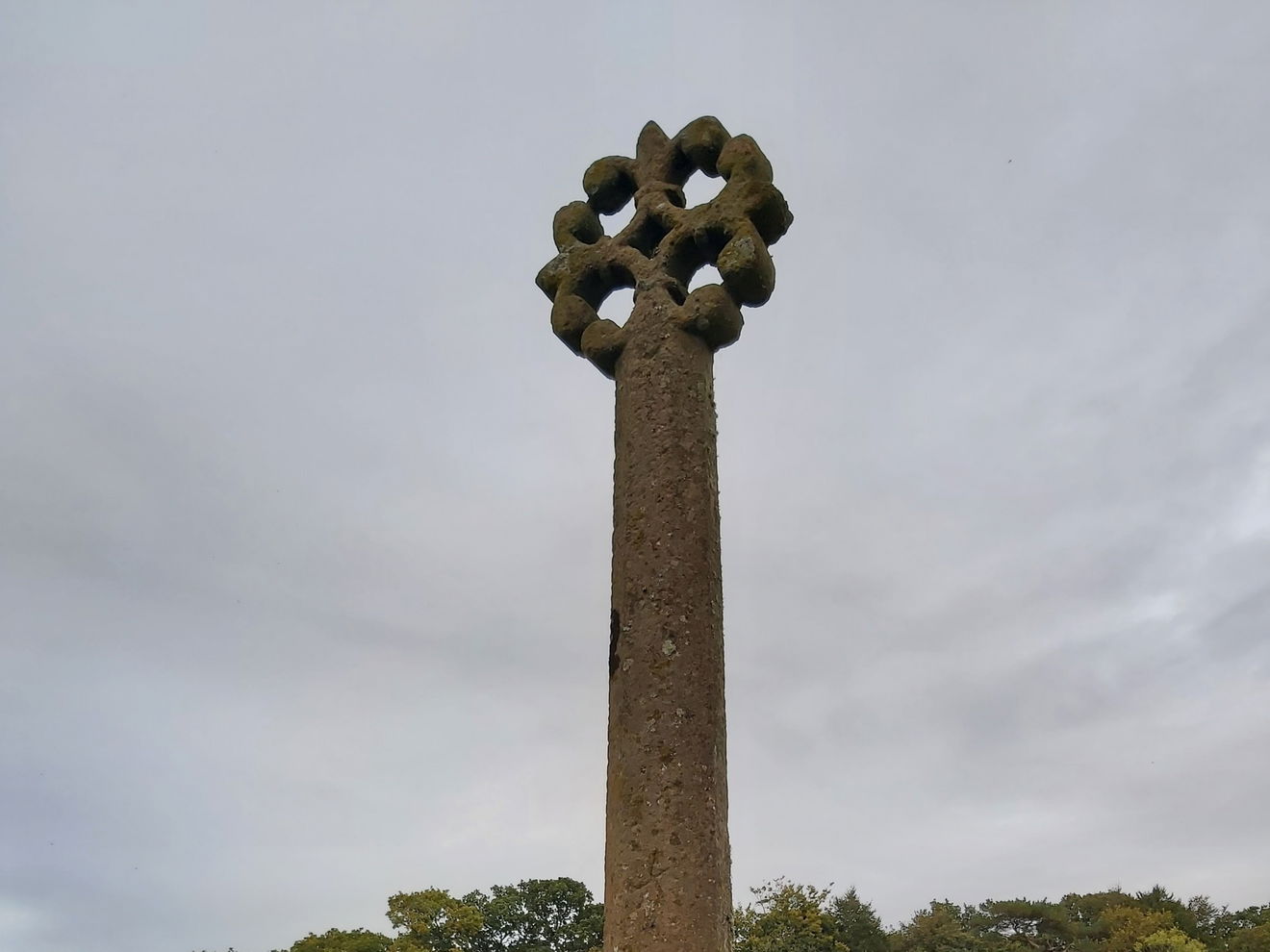
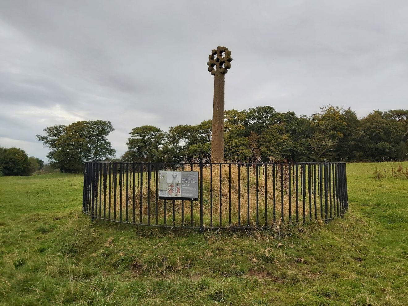
The Merkland Cross is a medieval wayside cross dating back to the 15th century and is thought to be one of the best preserved of its kind in the country. The design of the head is “floriated” in style, which means it has been carved to look like a flower and there are 4 fleurs-de-lys making up its shape. What makes that even more remarkable is that the whole cross, which stands 3m high, has been carved from one piece of stone.
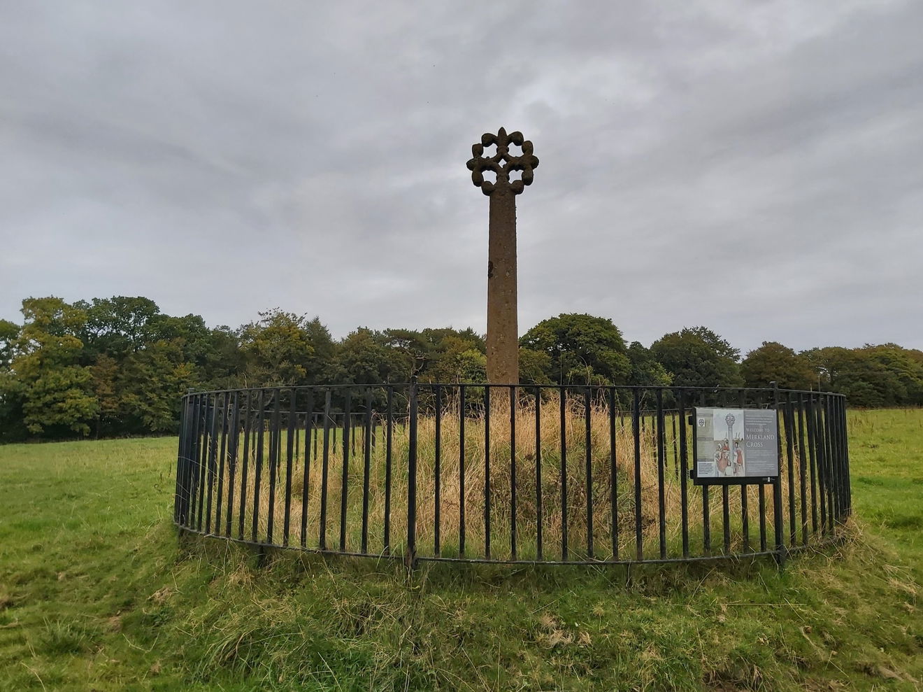
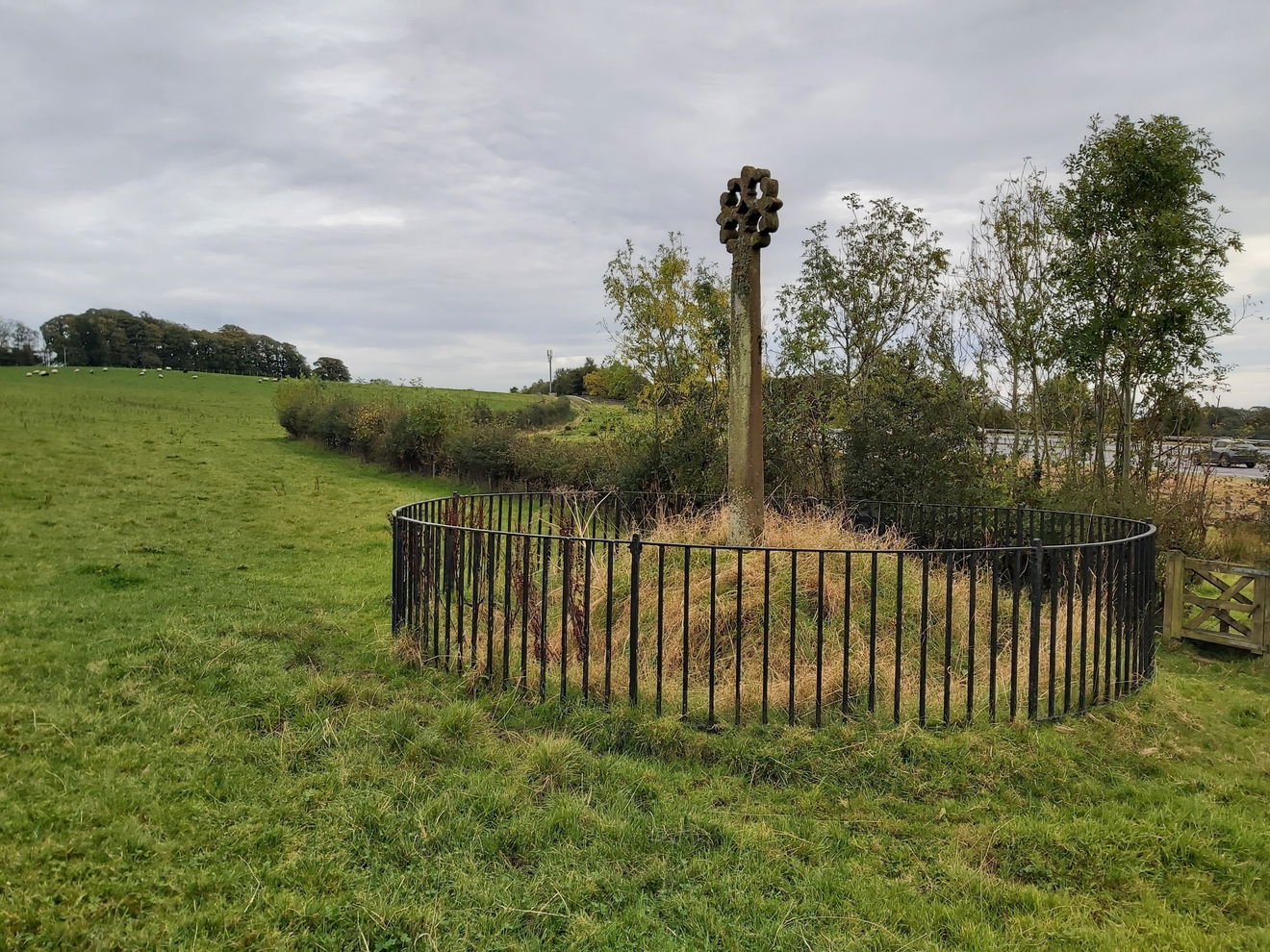
Today the cross stands to the side of the busy A74(M) motorway but during the 15th century the road was a little less busy. Six hundred or so years ago the cross could be found by the side of the main road to Annandale, which formed part of a Roman Road running north from Gretna.
As with many landmarks from this period, its origin and purpose are shrouded in mystery and there have been various theories over the years ranging from it marking the location of a regular market or a regional meeting place right through to it being erected by members of the Maxwell Clan, a powerful family who lived in the region, in tribute to John, Master of Maxwell, who was killed nearby in 1484.
While this is unproven the Clan Maxwell Society website seems very sure and contains the following;
“In 1484, John, Master of Maxwell, eldest son of Robert, second Lord Maxwell, was Steward of Annandale... As Steward, it was his responsibility to administer justice in Annandale. He was answerable only to the Crown.
On July 22, 1484, two outlawed Scots, Alexander, Duke of Albany, and James, Earl of Douglas, having mustered a mounted force of some 500 men, crossed the border riding for Lochmaben for the purpose of pillaging the countryside during market days, when most of the populace were in town.
Some measure of surprise was attained, and at first things went poorly for the defenders. A reinforcement of royal troops in the nick of time prevented a rout. As the afternoon wore on, the Annandale forces gradually gained the initiative, pushing their enemies back across the Annan. A fighting withdrawal was then made across the Milk and the Mein.
At some point, the Master of Maxwell led his men into the fray and they were in the forefront when the English finally broke near the Kirtle Water. John Maxwell had been wounded in the fighting. He dismounted, and leaning against his sword, watched the end of the battle. While he watched, a man approached and stabbed him in the back. John died before anyone could help him.
The Merkland Cross was placed at Kirtlebridge to commemorate the slaying of John, Master of Maxwell and Steward of Annandale.”
If you fancy visiting this one, then it's only 500m from the parking.
Get 3 points if you have visited this place. Already visited by 11 VIPs.
Login to the VIP area to add places to your bucket list, mark them as visited and more importantly see where you rank on the league table.
How To Find Merkland Cross
Where To Park For Merkland Cross?
Lat / Long
55.035481, -3.169653
What three words
There is a little layby just before the farm buildings and at the start of the track to the cross.
Contributed by Andrew Gardner
I love being outdoors, in nature, and experiencing the relaxation it brings. Wandering through the northern countryside seeing unexpected buildings, historic places and occasionally surprised wildlife is one of life's great pleasures.
More Places from Andrew
More Places In Lockerbie
Find more fabulous places in Lockerbie, Scotland and if you know of a place we haven't listed, then let us know.

Annanhead Hill Trig Point
Trig Point Lockerbie ScotlandThe Annanhead Hill trig point sits above the Devil's Beef Tub (478m) near Moffat.
More Landmarks
So this landmark wasn't enough and you want more? Don't worry we have you covered.
Wearmouth Colliery Staithes
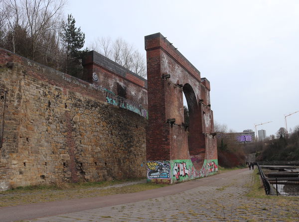
Landmark Sunderland Tyne And WearThe remains of a coal staithes for the Wearmouth Pit.

Hunkleton Stone
Landmark Newbiggin by the Sea NorthumberlandAn erratic rock, rolled into Newbiggin Bay during the last ice age, transported on ice rafts through glacial waters to sit on the sand by the sea.

Bombardment Garden
Landmark Whitby North YorkshireA garden to look like a bombed house, as a memorial to the 1914 coastal attack.
Never Miss A Fabulous Place
If you are afraid of missing out on all the fabulous places we post, or just want to be the first to know, then sign up to the Fabulous North.
Each week we will email you all the brand new places that we visit.
Sign Up To AlertsFind Us On Facebook
We post all our new places daily on our Facebook Groups page, so join the group today and be notified when we add a new place.
Join Our Facebook Group

