Byrness, Hungry Law, Lumsdon Law And Echo Crags Walk
Byrness, Northumberland
A chunky wander around the Byrness area starting with Byrness Hill, then heading to the Hungry Law Trig Point, before ending with Lumsdon Law and Echo Crags.
Distance - 24km (15 miles)
Ascent - 872m
Duration - Approx 6 hours
Terrain - A total variety of grassy tracks, clarts and a little bit of boardwalk.
View Route On OS Map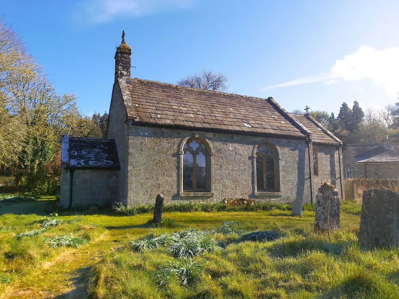
I haven't really wandered up around the Byrness area before and as there were a few hills up here contributing to the Cheviot 99 Challenge it was time to break out the walking boots again. Parking at the little layby on the A68 in between Byrness Village and Catcleugh Reservoir, I headed back towards St Francis Of Assisi Church and the start of this route.
Just over the road was a little fingerpost pointing the way to Byrness Hill and then through a gate up onto the hill.

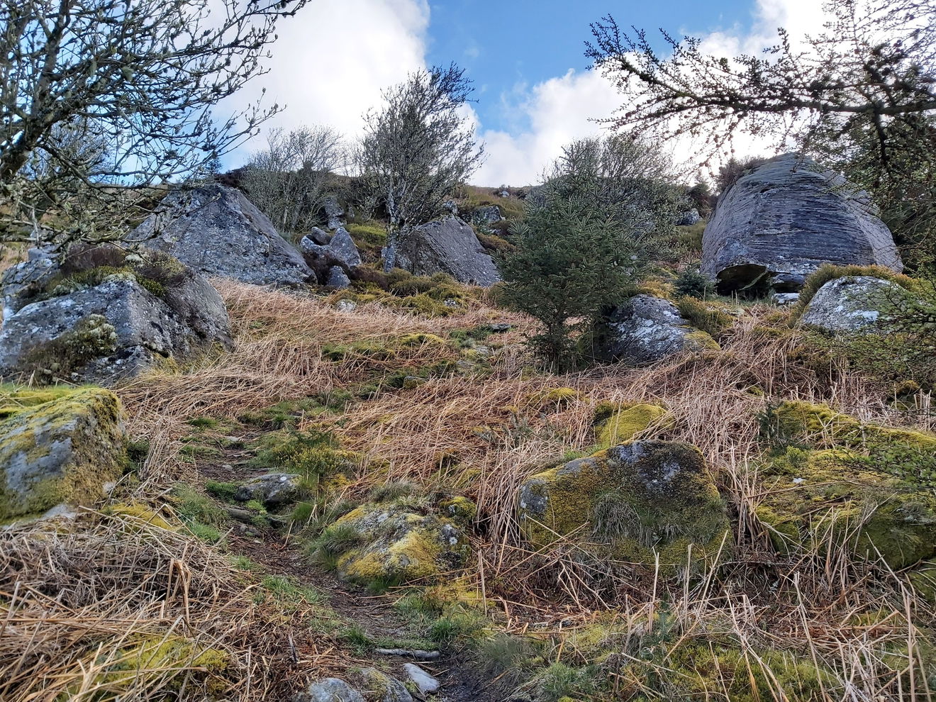
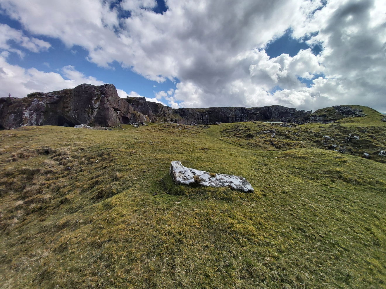
It's a canny slog to start the walk ascending around 200m in 1.5km, but a good way to get the legs warmed up. The trees have all been cut back up here, so it's quite desolate. But this exposes a little boulder city with hundreds of rocks protruding out of the ground all around.
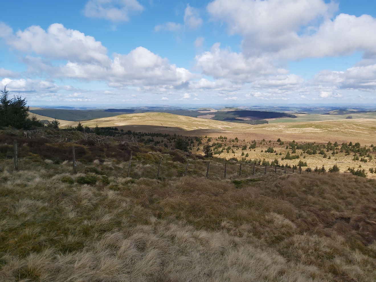
Turning back, I am pretty high up now and get a smashing view over Catcleugh Reservoir.
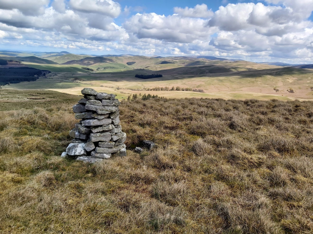
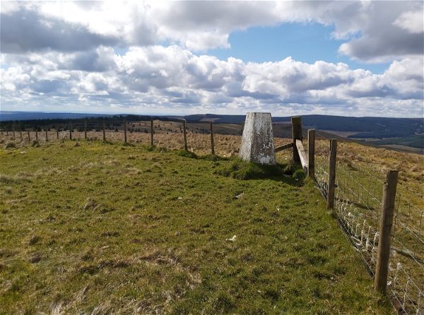
And just like that I am at my first peak which is Byrness Hill, adorned by a little cairn. I love it when there is a marker for the top of a hill such as a trig point or a cairn. Not only does it signify you're at the top, but it's a lovely little surprise to look out for. It's also cool for helping identity hills from a distance too.
Then it's just a quick wander up to Saughy Crag, with ace views over the Otterburn Ranges.
Continuing north, my next destination, just a short jaunt away, is Houx Hill.
Following the permissive path hugging the border to the Otterburn Ranges, I keep heading north towards Windy Crag, which definitely lives up to its name as it's starting to blow a hooley up here.
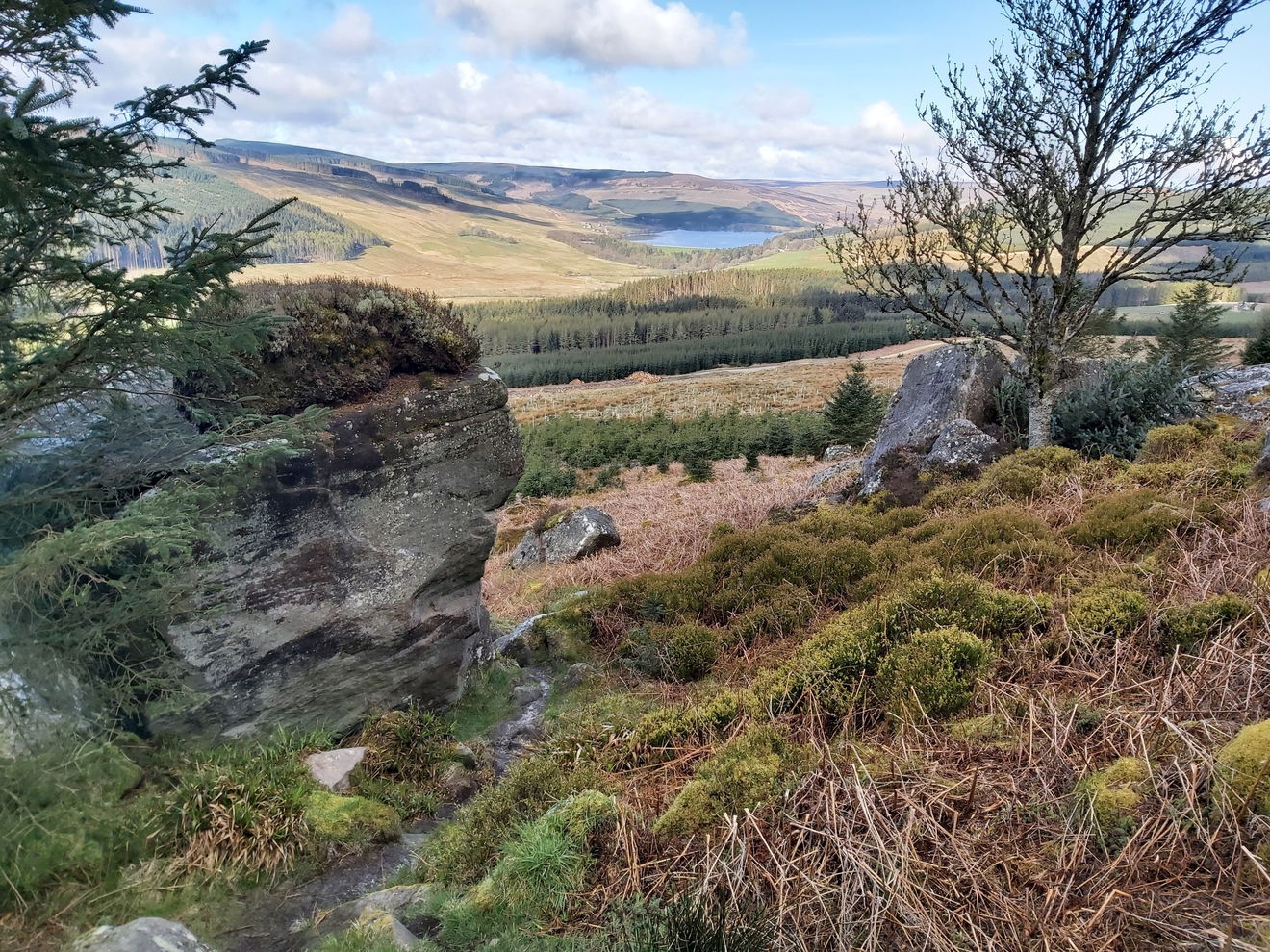
I'm pretty high up now so get another belta view of Catcleugh Reservoir.
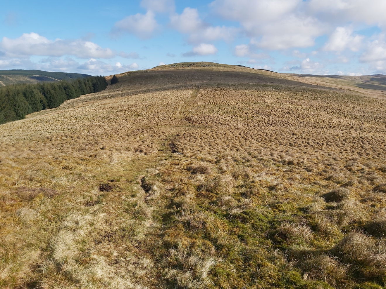
I keep on the path until the fence line turns to head up Ravens Knowe and another little cairn, but this one has a name of Ravens Pike.
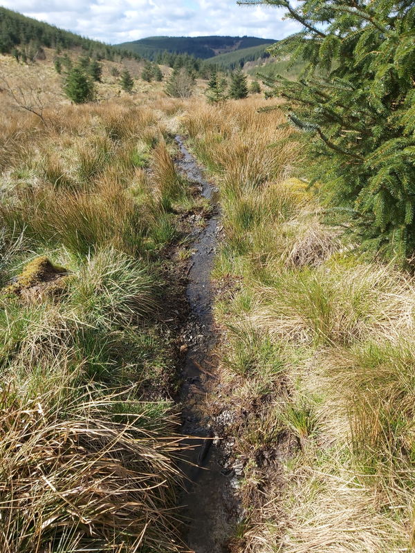
Even though it has been quite dry, it's starting to get a little squelchy here. To my luck and surprise, a little boardwalk appears out of nowhere that gets me through the clarts.
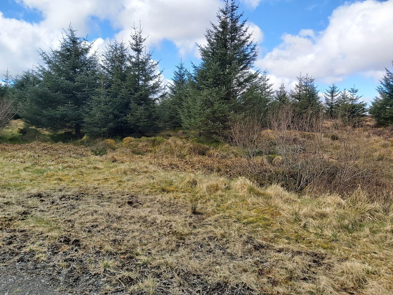
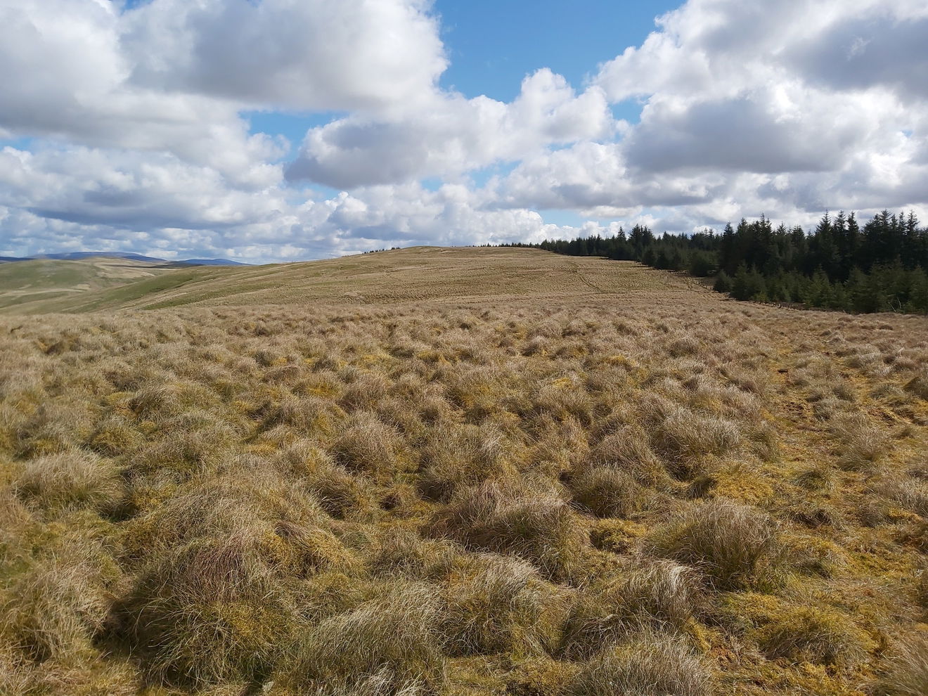
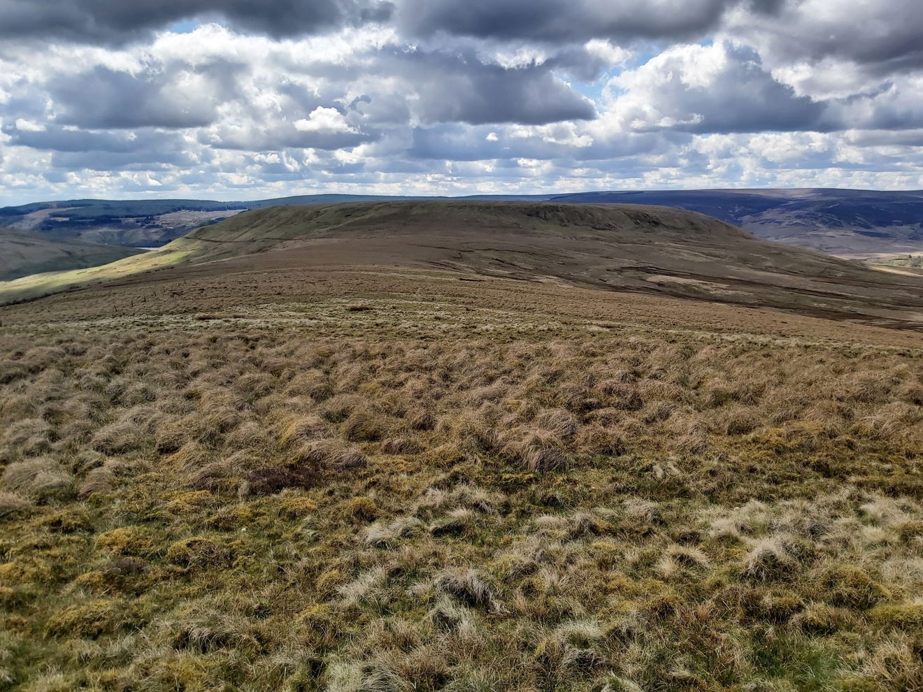
As I skirt the little forest area the next stop on my map is Ogre Hill which implies it is right on the corner and within of the forest. Maybe little area is it this is it? If so, I was a bit disappointed, as with that name I was expecting something more mean and imposing.
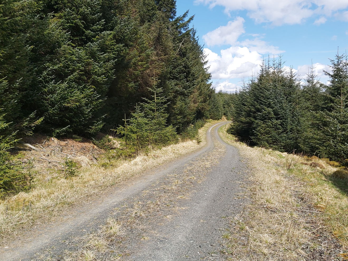
From here I cut into the forest where the footpath has turned into a little stream!
My next hill bagging has the best name and is called The Heart's Toe, but it just looked like a patch of forestry area just off the main path. I climbed into it to see if there was anything resembling a peak or toe, but nothing to see.
From here I actually continued into the forest area looking for Greyhound Law, but again nothing to be seen here.
So I backtracked to The Heart's Toe and crossed the style to walk on the outside of the forest. Hopefully this is part of Greyhound Law.
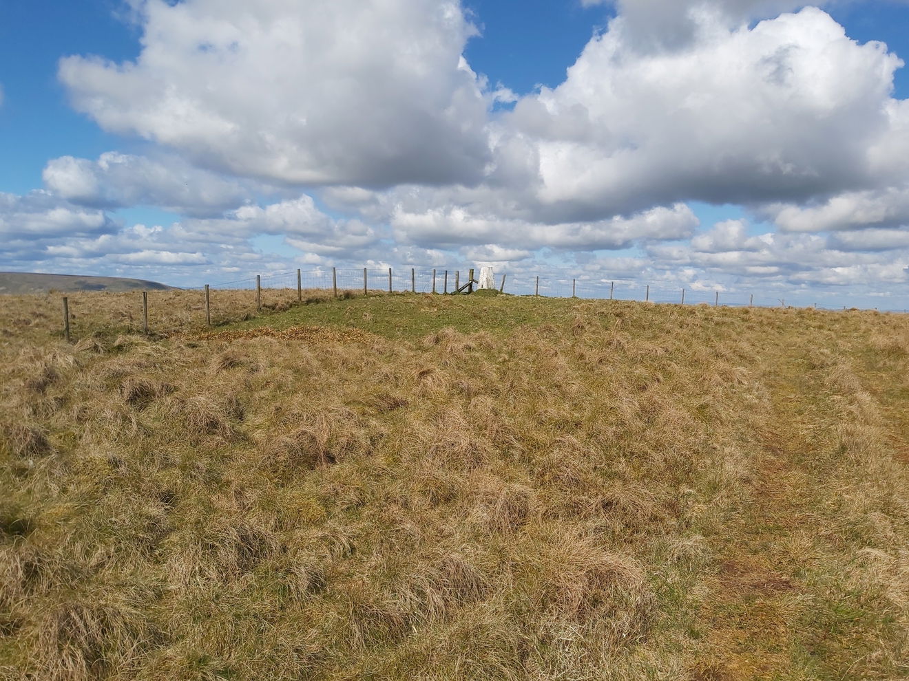
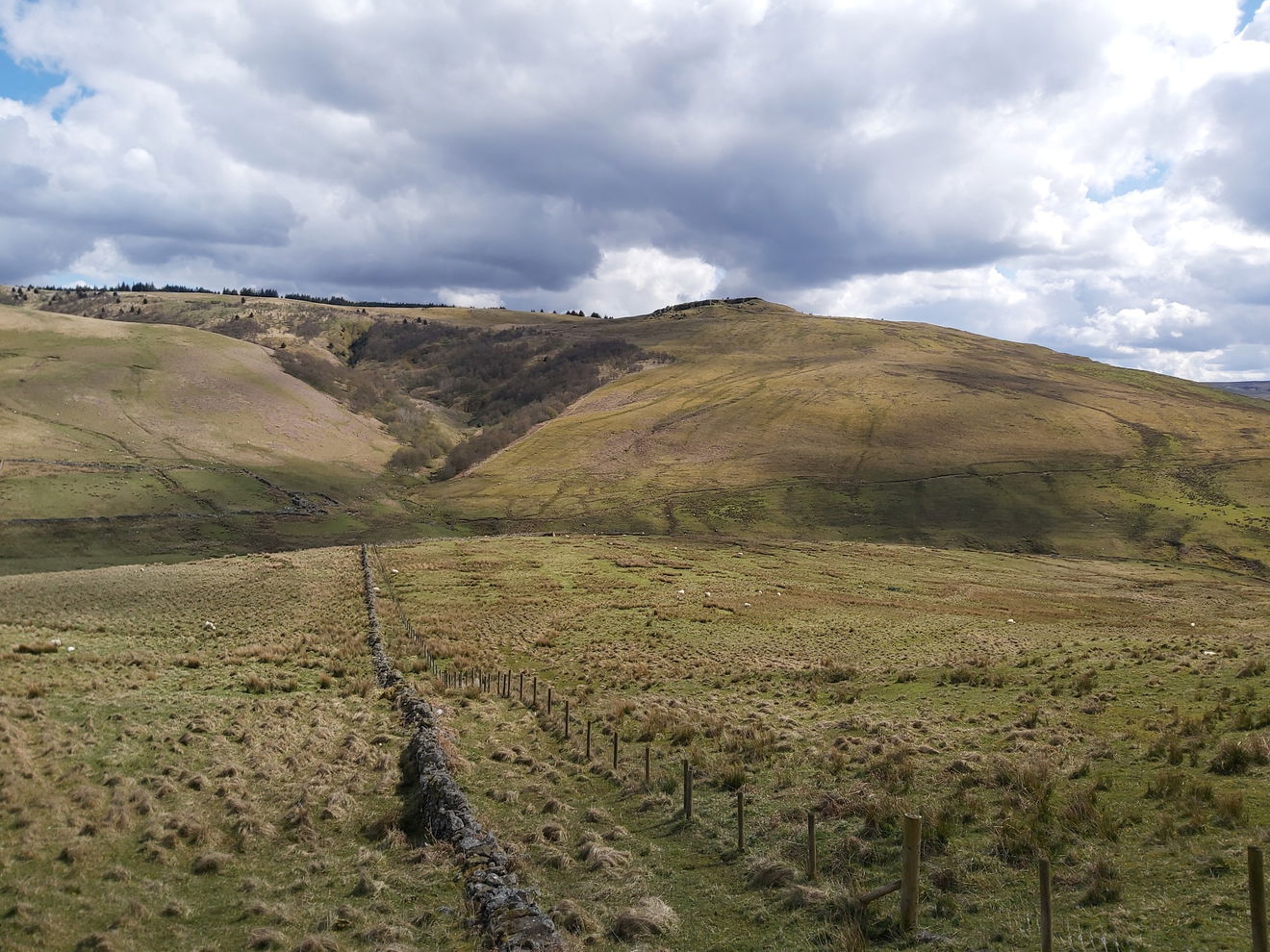
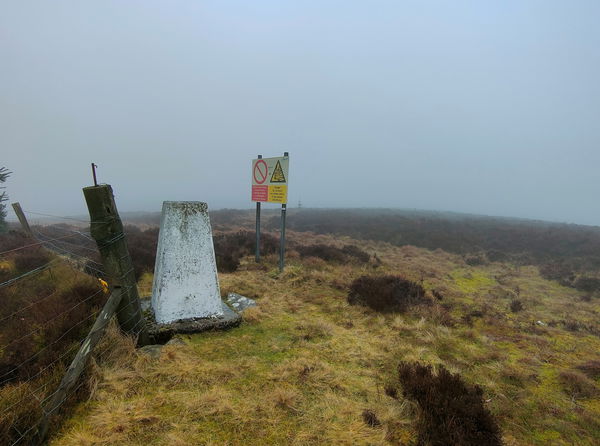
Now I just hug the forest all the way to Hungry Law trig point which I can just see peeking out.
Just thinking about the name of this trig point and also being 11km into the walk, I'm starting to feel a bit peckish, so I rummage in the rucksack for snack.
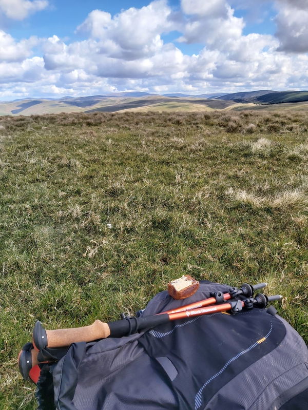
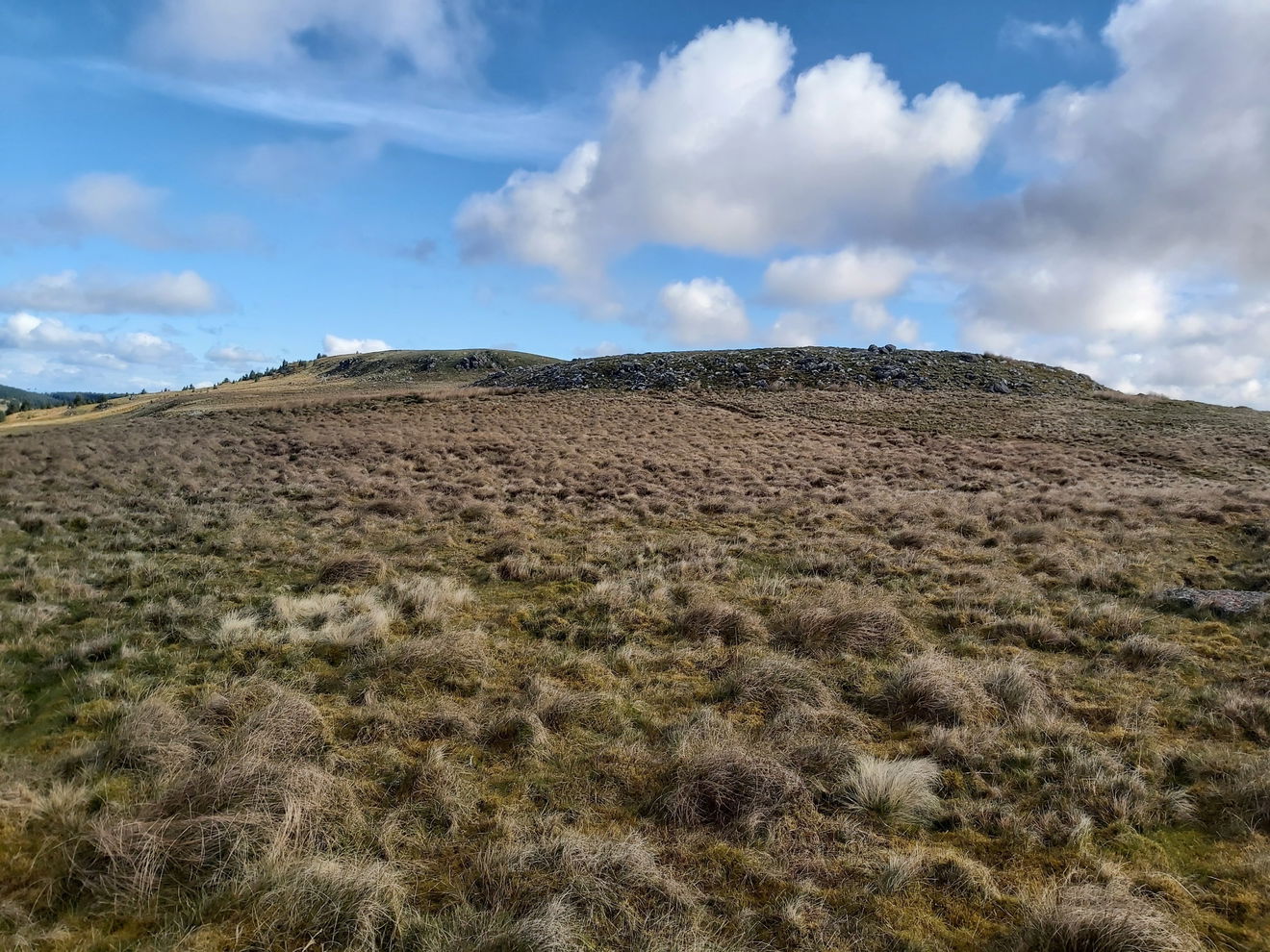
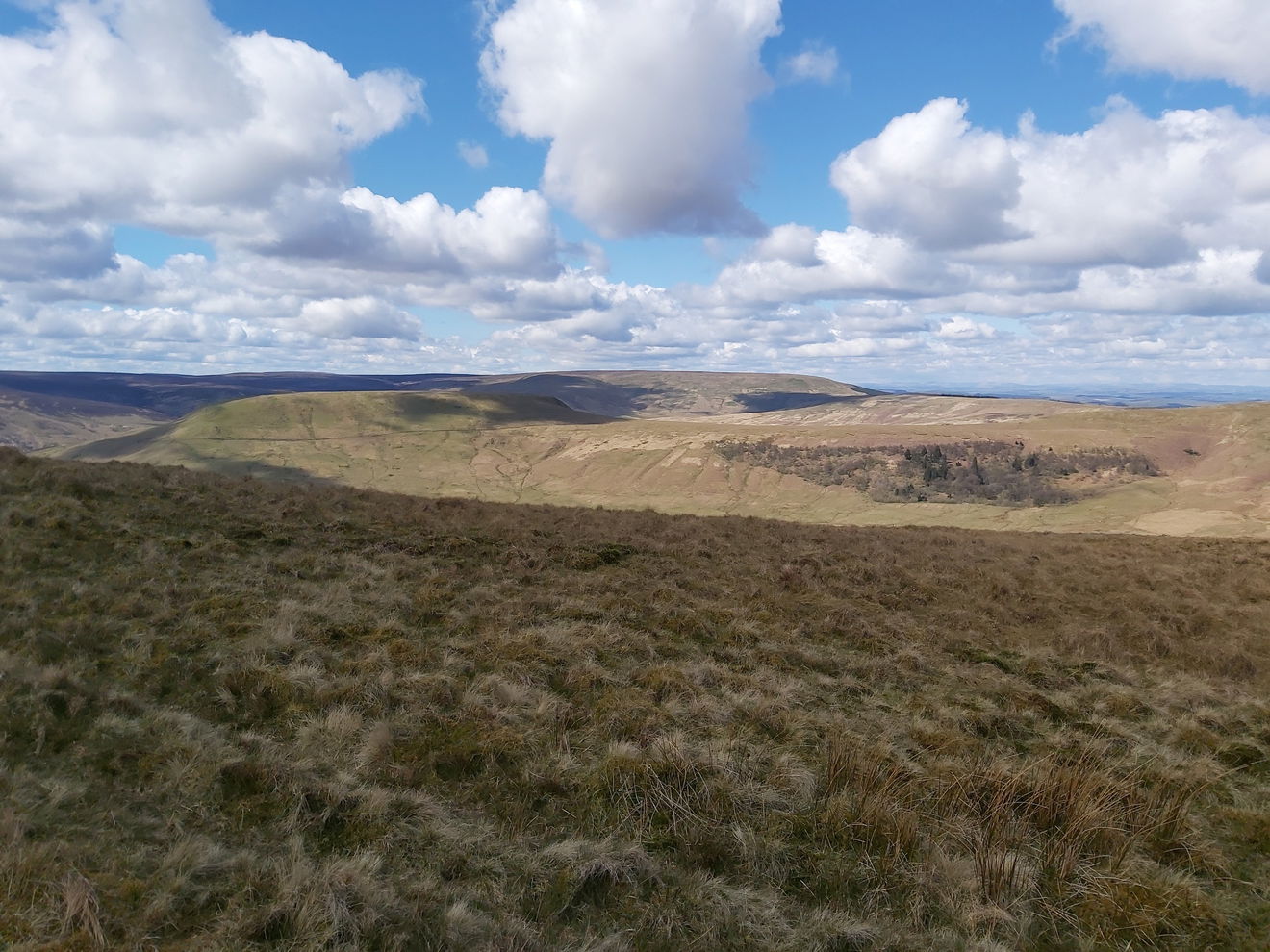
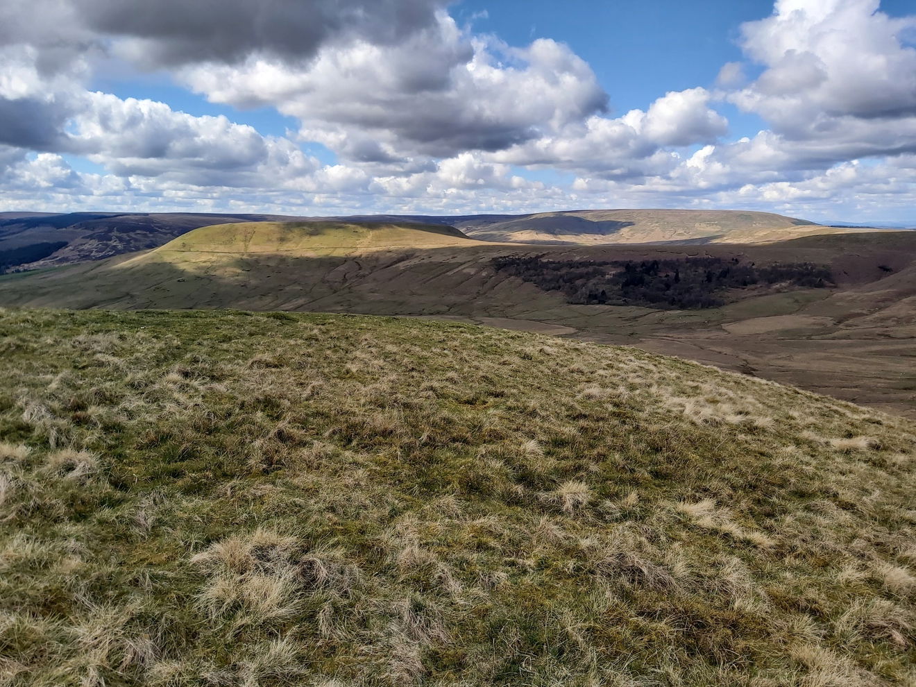
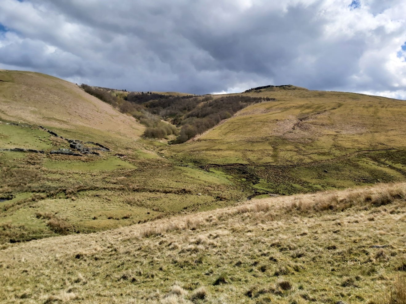
No surprises that I find some Fruity Malt! I have a 2 minute break admiring the border ridge and The Cheviot in the distance before I head on. Just rounding the corner from the trig point I see a magnificent sight. There is a big horseshoe shaped bowl called a Corrie which is a valley formed through erosion by ice or glaciers. At right at its end is Lumsdon Law.
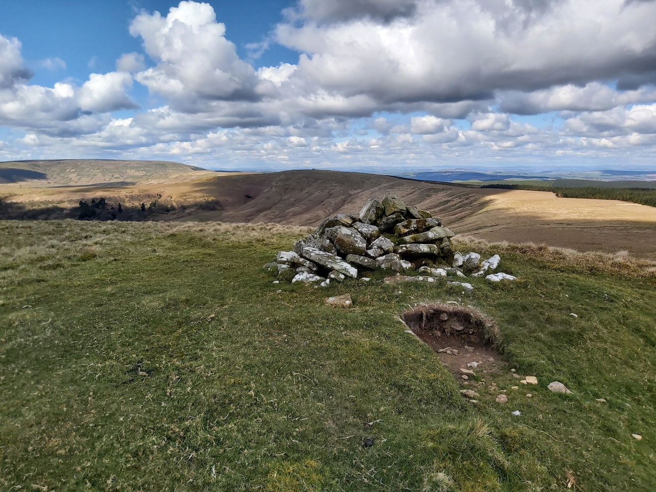
My route is quite clear now that I just follow the edge of the Corrie and make my way to the top of Lumsdon Law. But not before a minor diversion to a little cairn called Phillip's Cross on Catcleuch Hill.
I also spy another cairn on the way around, although this one has no name.
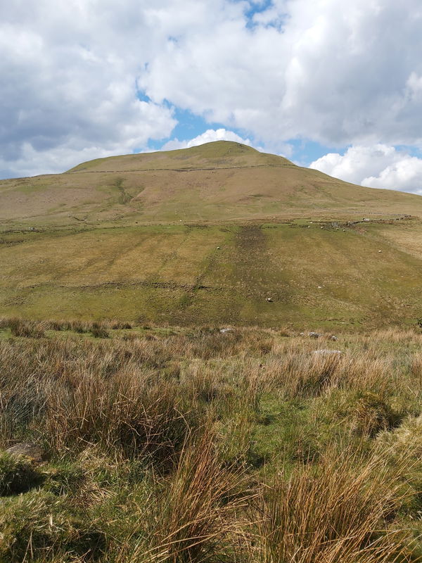
Then I get another fabulous look at Lumsdon Law. With its flat top it looks like a mini version of The Cheviot.
But before I get to it I have to continue skirting the bowl and towards Leap Hill which is another bagging on the Cheviot 99 Challenge.
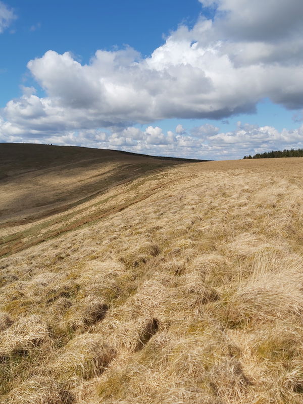
Then from Leap Hill, it's just a straight line over to Lumsdon Law. There aren't any clear paths here, so I just pick my way across best I can.
And right at its eastern edge, there is another chunky cairn and I meet up again with Catcleugh Reservoir.
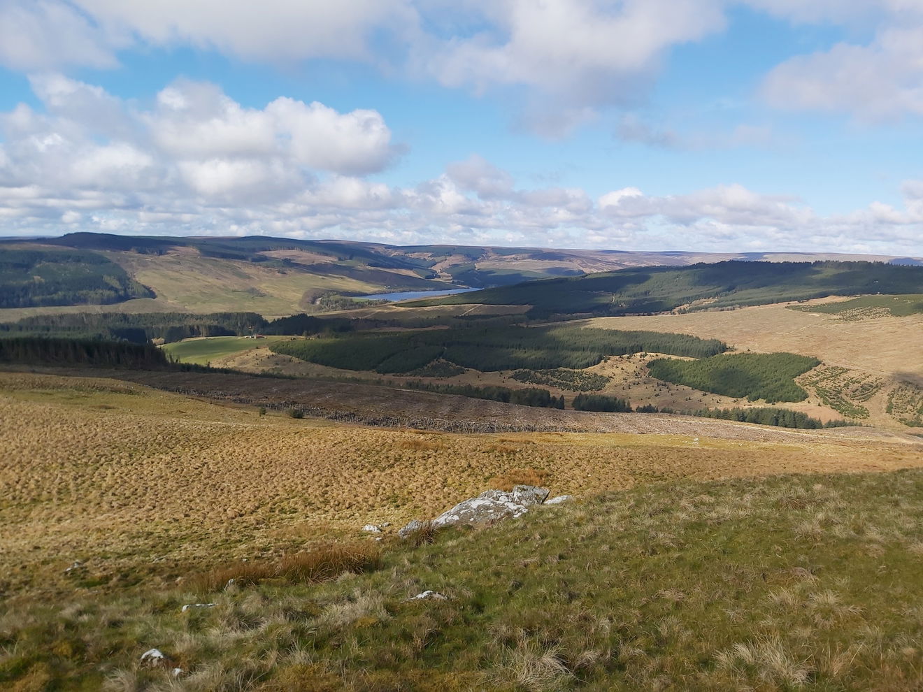
Now the only problem with bagging Lumsdon Law, is that the only way off is to either head back the way you came or brave the steep slopes down. As my route took me towards Echo Crags, then I had to suck it up and face the arduous descent of 200m.
The only problem with heading all the way down into the valley, is that I am now going to have to climb all the way back out again.
Looking at the map, there was a little burn at the bottom here which I had to cross. Fortunately I just managed.

A little look back to Lumsden Law and that was a canny descent which my knees won't let me forget in a hurry.
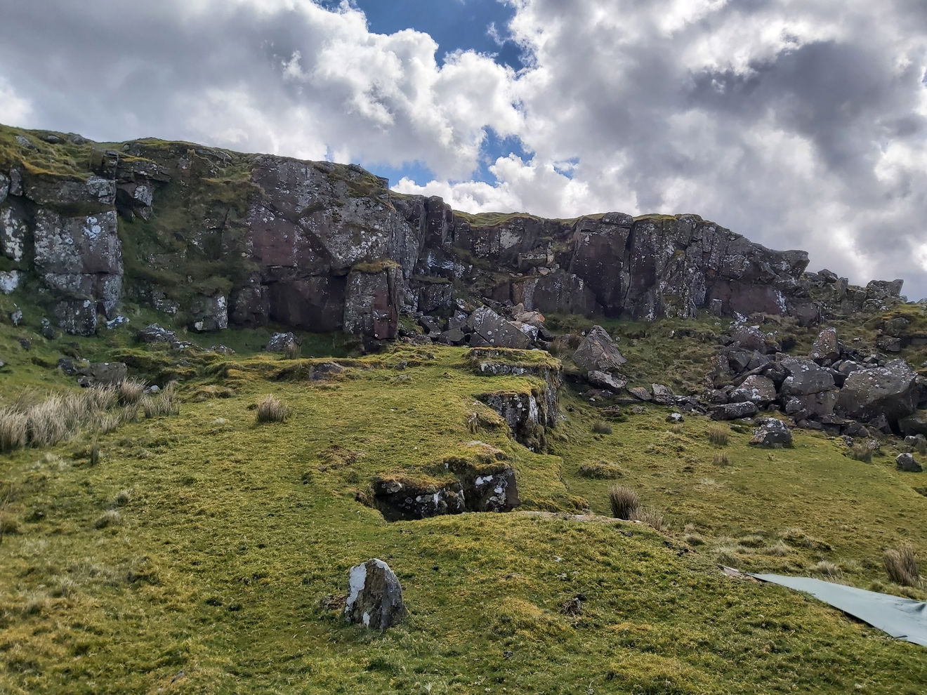
Rather than barrel straight up the slope to Echo Crags, I gave my legs a little rest and followed a path that would hopefully wind its way to the top. I pass my second set of rocks called Saughy Crags today.
And then I have finally made it to the top of Echo Crags, a standstone semi-circular escarpment that is 350 million years old!
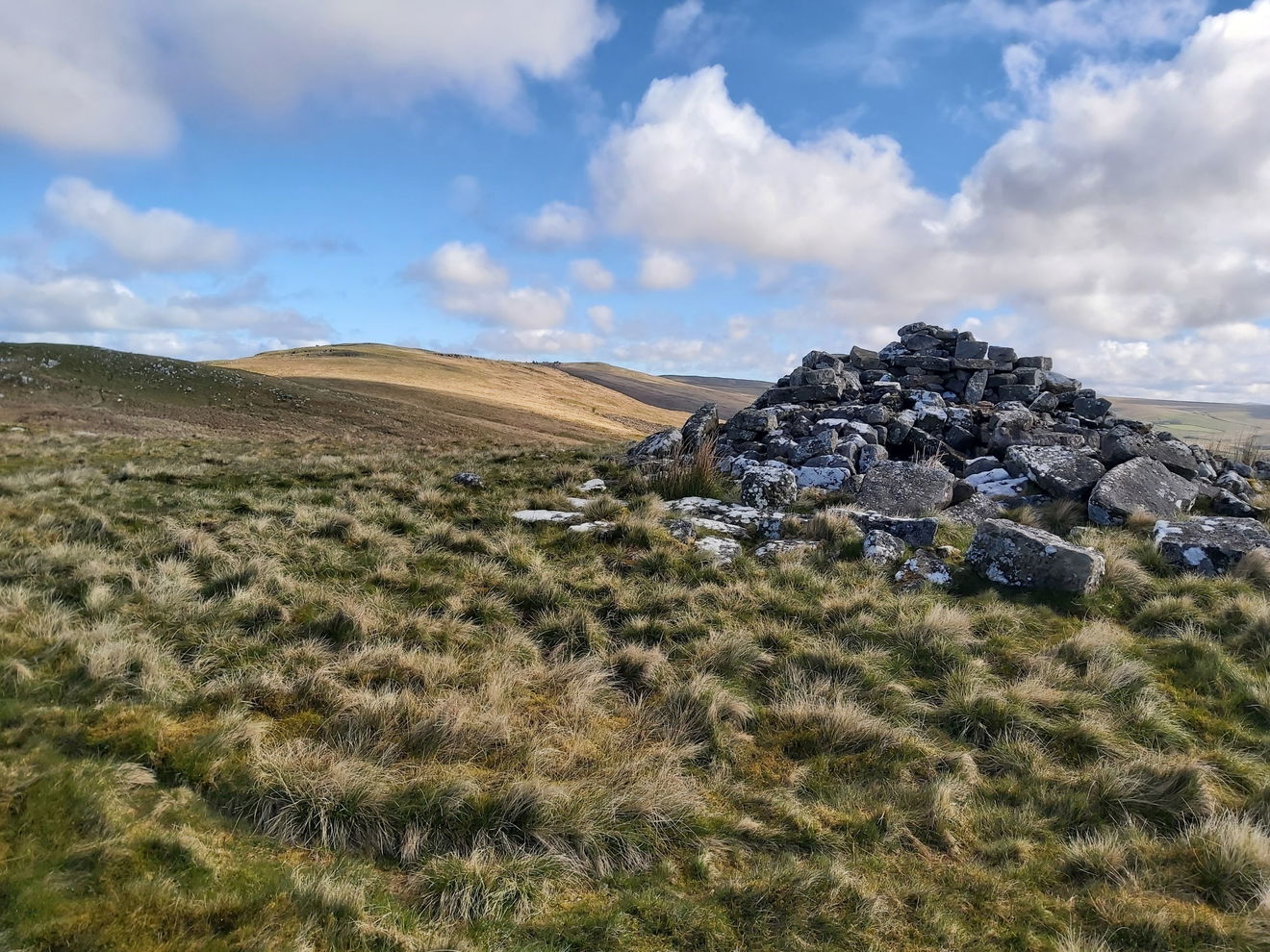
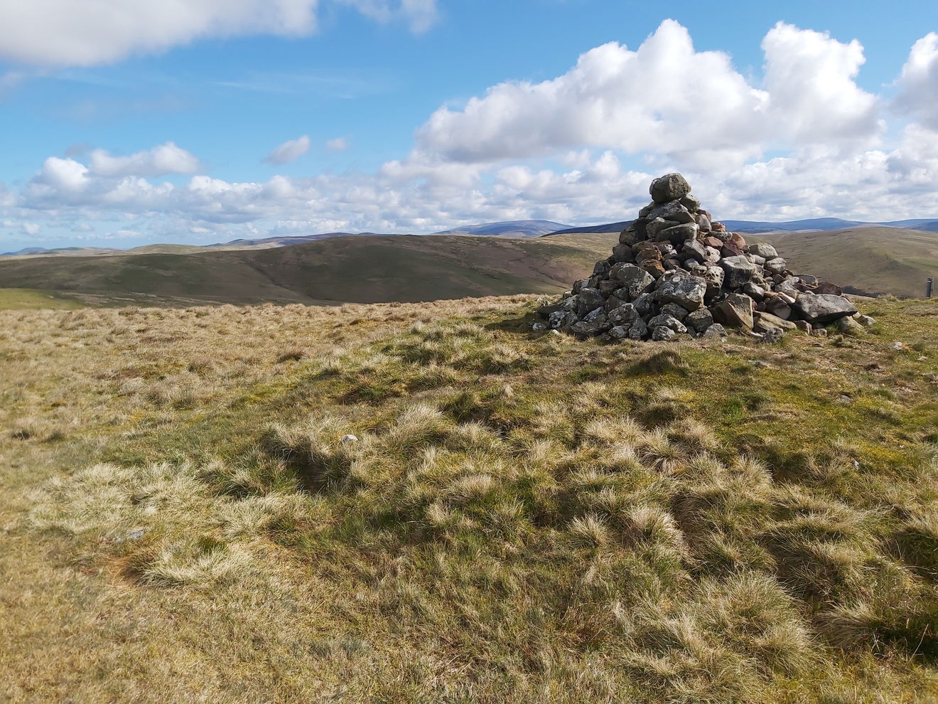
Then just a short walk further north I bag Sandy Pike which has a mega cairn on top.
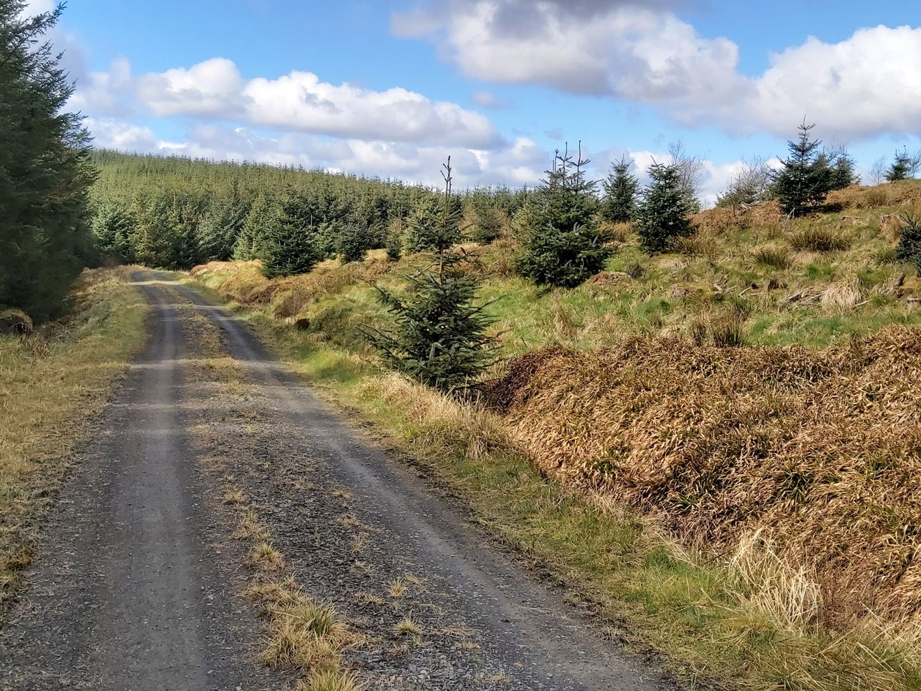
Then from here it's a lovely winding downhill path all the way back to the car.
Thanks for reading and hope you enjoyed this virtual tour totalling 24km and bagging a load of hills for the Cheviot 99 Challenge.
Where to Park For Byrness, Hungry Law, Lumsdon Law And Echo Crags
Where To Park For Byrness, Hungry Law, Lumsdon Law And Echo Crags?
What three words
Contributed by Simon Hawkins
Thanks for checking out this place on the Fabulous North! I do enjoy a wander out in to the countryside trying to find hidden gems that not many people know about. You can't beat a rogue pele tower up a remote hill, a mysterious stone circle or a stunning waterfall secluded in a forest.
More Walks from Simon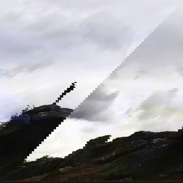
More Places In Byrness
Find more fabulous places in Byrness, Northumberland and if you know of a place we haven't listed, then let us know.

Carter Pike Cairn
Crag, Rock And Cairn Byrness NorthumberlandA man made round cairn on top of Carter Bike near to the border.
Hungry Law Trig Point
Trig Point Byrness NorthumberlandThe trig point sitting on Hungry Law (501m).
Dour Hill Trig Point
Trig Point Byrness NorthumberlandThis is the trig point for Dour Hill (415m) near Byrness.

Find Us On Facebook
We post all our new places daily on our Facebook Groups page, so join the group today and be notified when we add a new place.
Join Our Facebook Group