Simonside and Fontburn Reservoir Walk
Rothbury, Northumberland
A 15km hike around the Simonside area visiting Fontburn Reservoir.
Distance - 15km (9 miles)
Ascent - 334m
Duration - Approx 4 hours
Terrain - Grassy tracks and stoney trails. All on permissive paths.
Parking - Park at the Lordenshaw car park. View Parking Map
View Route On OS MapWhen you visit Simonside, you'll find most people head straight up the hill and on towards Old Stell Crag. But there also lovely walks and views to be had if you skirt the hill and head south.
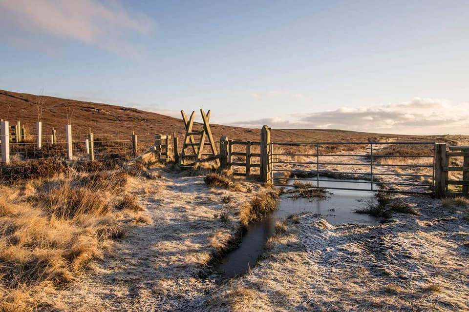
Starting at Lordenshaw we head straight up the hill, but when the path forks, keep going straight onto St. Oswalds' Way.
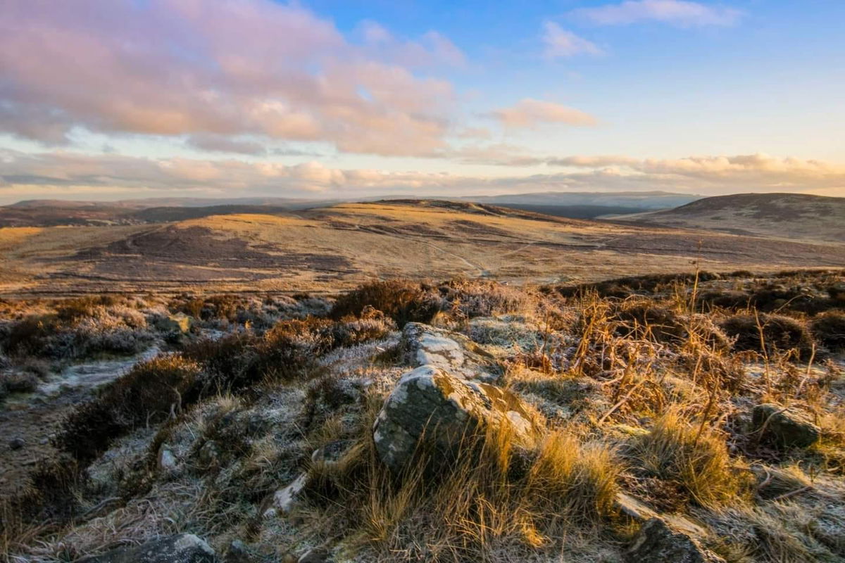
Soak in the beautiful views as you get a different perspective of the Simonside Hills.
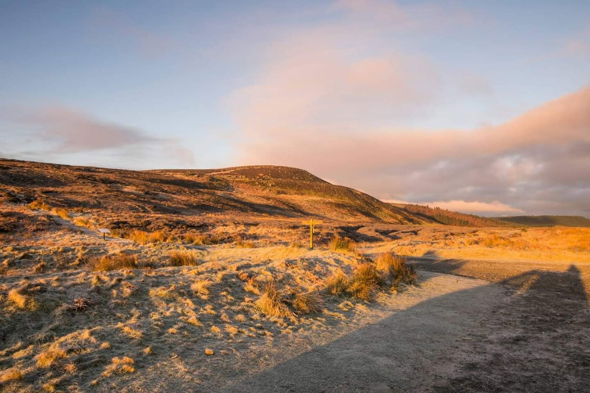
Meeting the corner of Harwood Forest, we head in and follow the path south for a little way.
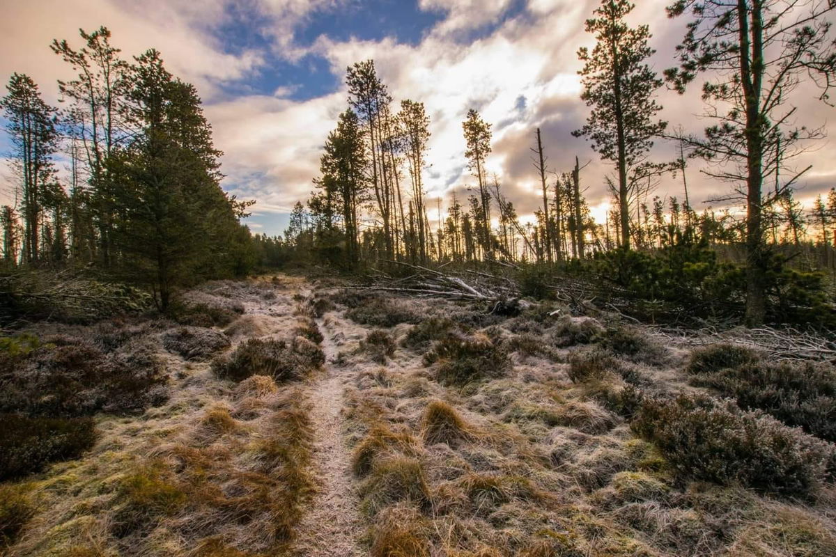
Back out of the forest and we are greeted to our first view of Fontburn Reservoir. Looks a bit chilly this morning so wouldn't recommend a dip!
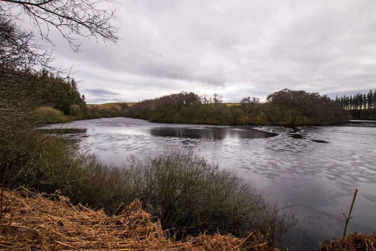
Then it's pretty much a flat route from here back to the car park using permissive paths through the heather.
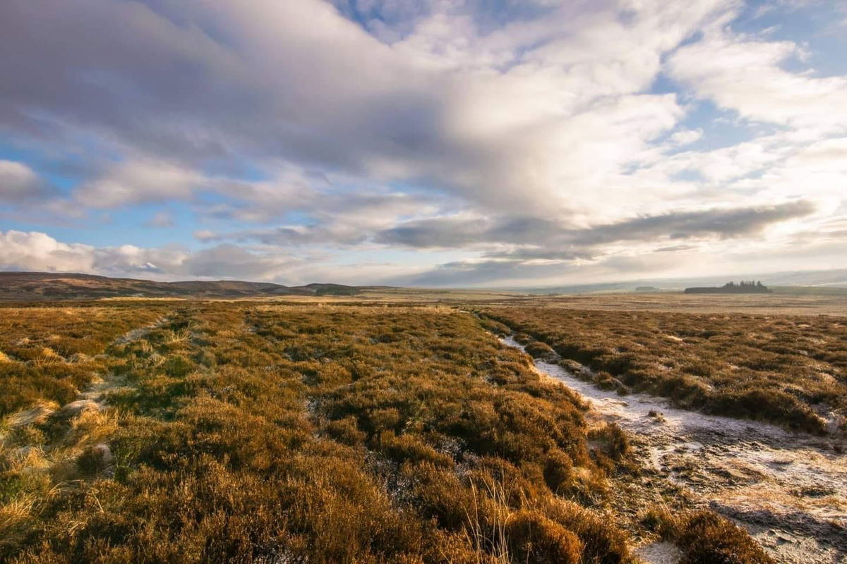
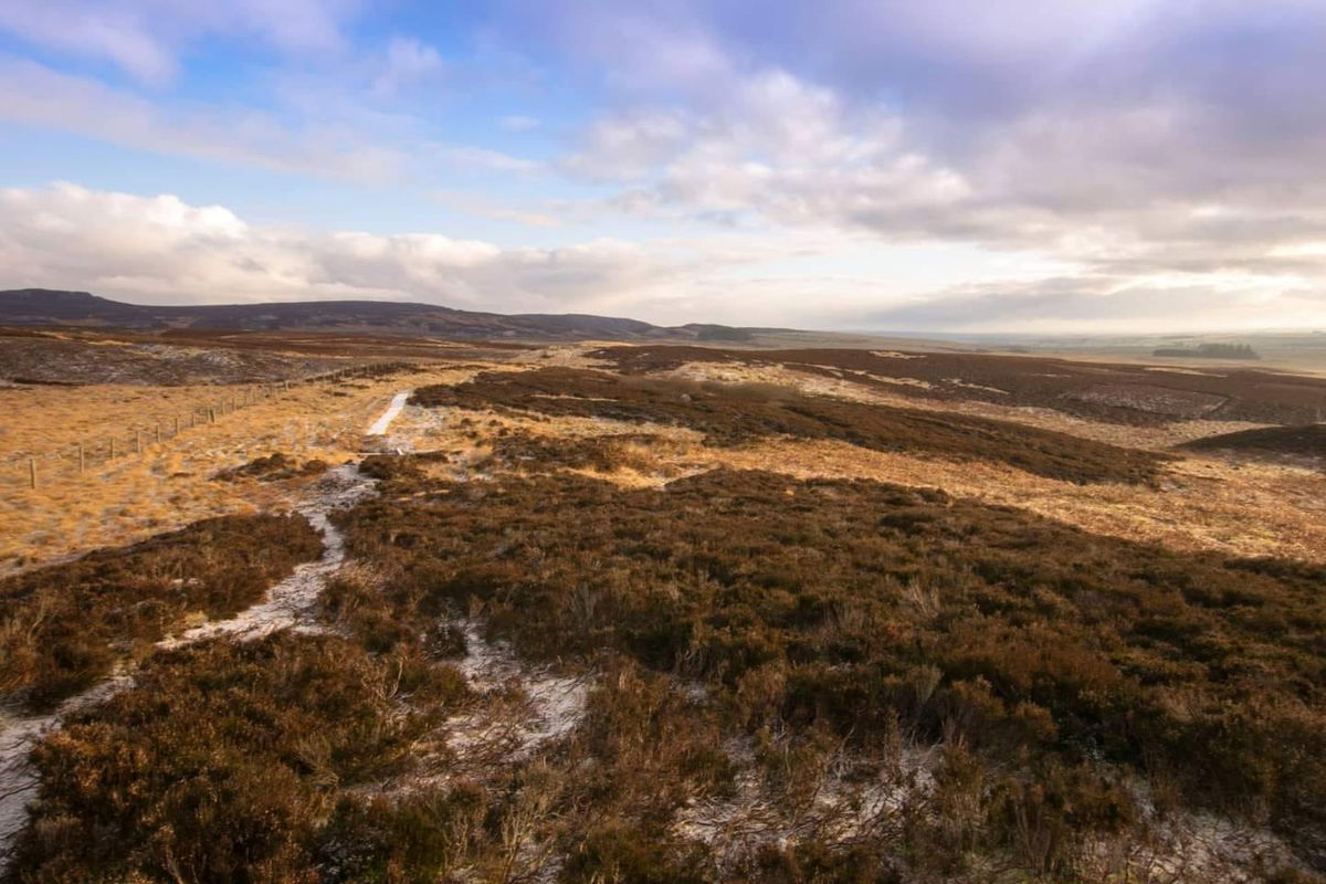
A lovely 15km wander with only a little bit of climbing in the fresh and icy air!
Thanks to Phil Hawyes for this walk and the photos.
Where to Park For Simonside and Fontburn Reservoir
Where To Park For Simonside and Fontburn Reservoir?
What three words
Park at the Lordenshaw car park.
Contributed by Simon Hawkins
Thanks for checking out this place on the Fabulous North! I do enjoy a wander out in to the countryside trying to find hidden gems that not many people know about. You can't beat a rogue pele tower up a remote hill, a mysterious stone circle or a stunning waterfall secluded in a forest.
More Walks from Simon
More Places In Rothbury
Find more fabulous places in Rothbury, Northumberland and if you know of a place we haven't listed, then let us know.
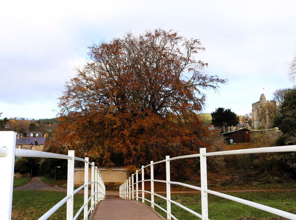
Rothbury Tree Trail
Landscape Rothbury NorthumberlandA tree trail around Rothbury town centre and riverside showing you all the different types of trees and their history.

Thompson's Rock Solstice Stone
Crag, Rock And Cairn Rothbury NorthumberlandA holed stone in the Simonside Hills that lines up with the summer solstice.
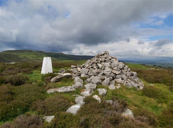
Garleigh Moor Trig Point
Trig Point Rothbury NorthumberlandThe trig point sitting on top of Garleigh Moor (268m).
Find Us On Facebook
We post all our new places daily on our Facebook Groups page, so join the group today and be notified when we add a new place.
Join Our Facebook Group
