Upper Rothbury And Cartington Hill Hike
Rothbury, Northumberland
A wander up on the crags above Rothbury, finding the Rothbury trenches then a trip up Cartington Hill and towards Cartington Castle.
Distance - 21km (13 miles)
Ascent - 747m
Duration - Approx 5 hours
Terrain - Clear tracks up from Rothbury onto the crags, walking through heather to get to the trenches. Cartington Hill quite muddy at the bottom.
Parking - Plenty of parking in Rothbury town centre. View Parking Map
View Route On OS MapIf you have wandered up the Simonside Hills and looked over at Rothbury you will surely have noticed the crags sitting on the hill overlooking the town. I have always wondered if you could walk up there, so today I broke out the OS maps and realised there were plenty of routes up there.
With most of my walks, I tend to plan a precise route, but then I am like a cat that sees a shiny thing and wanders off to investigate. So you may see lots of little deviations on the map.
My main plan was to head up on the crags, find the Rothbury Trenches, see how close I could get to Cartington Castle then wander over Cartington Hill and back into Rothbury. It sort of went to plan.
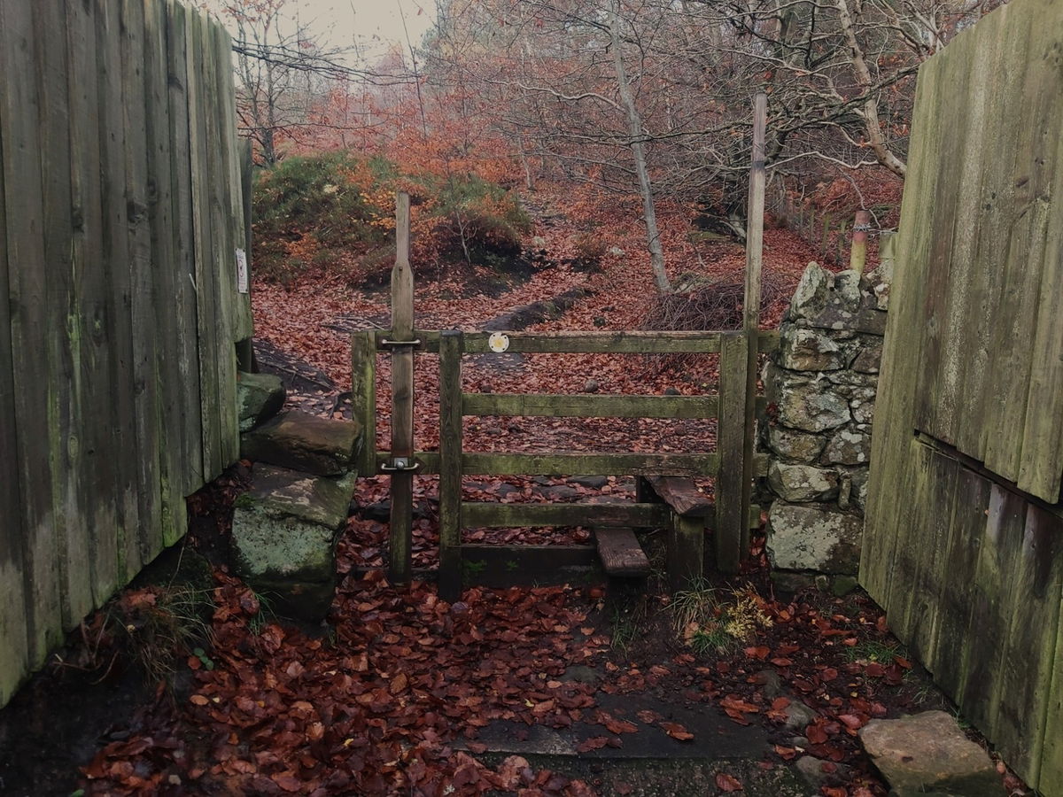
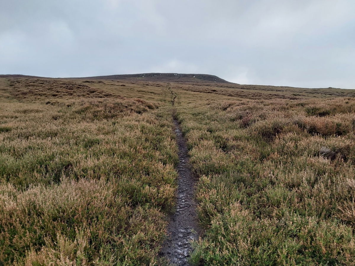
First step was to find the path up onto the crags and that was pretty easy.
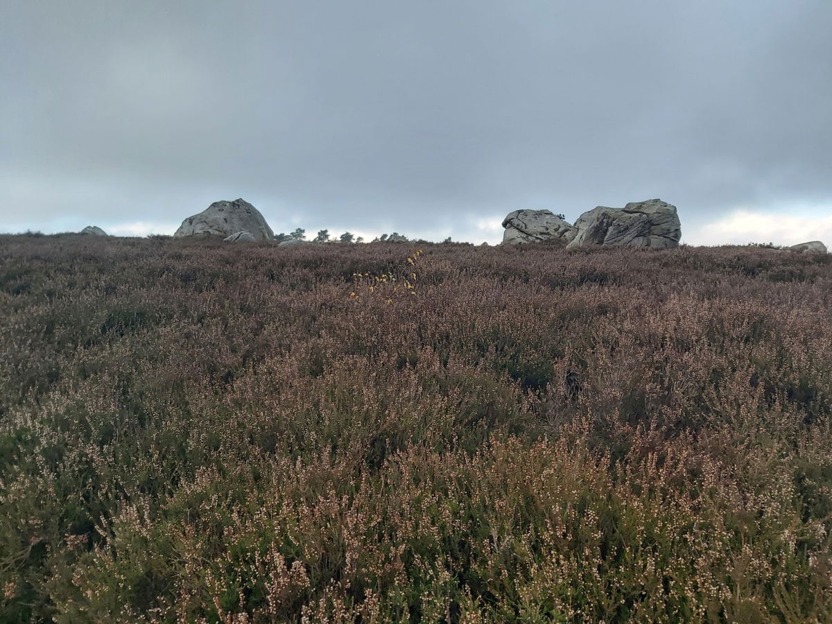
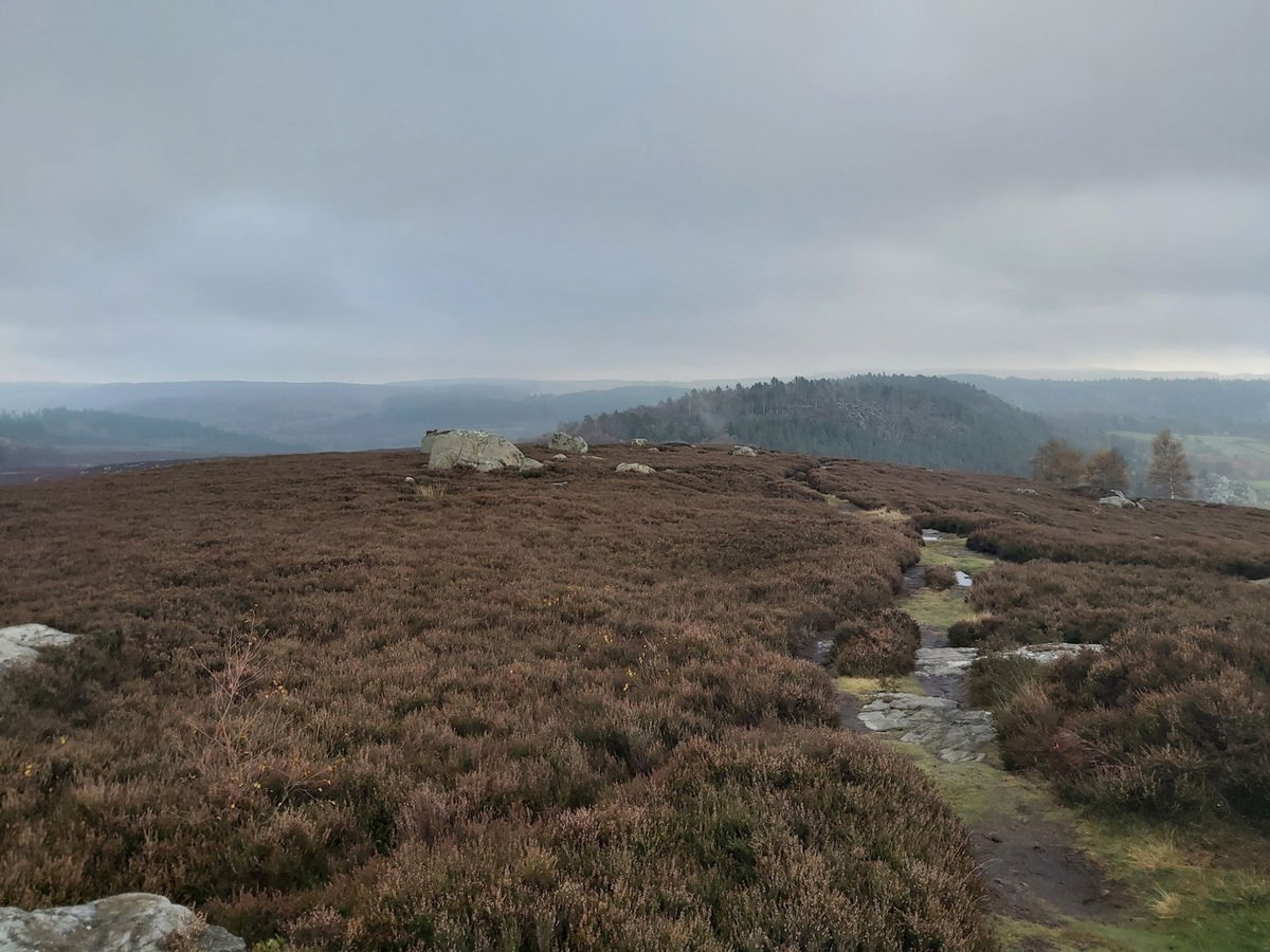
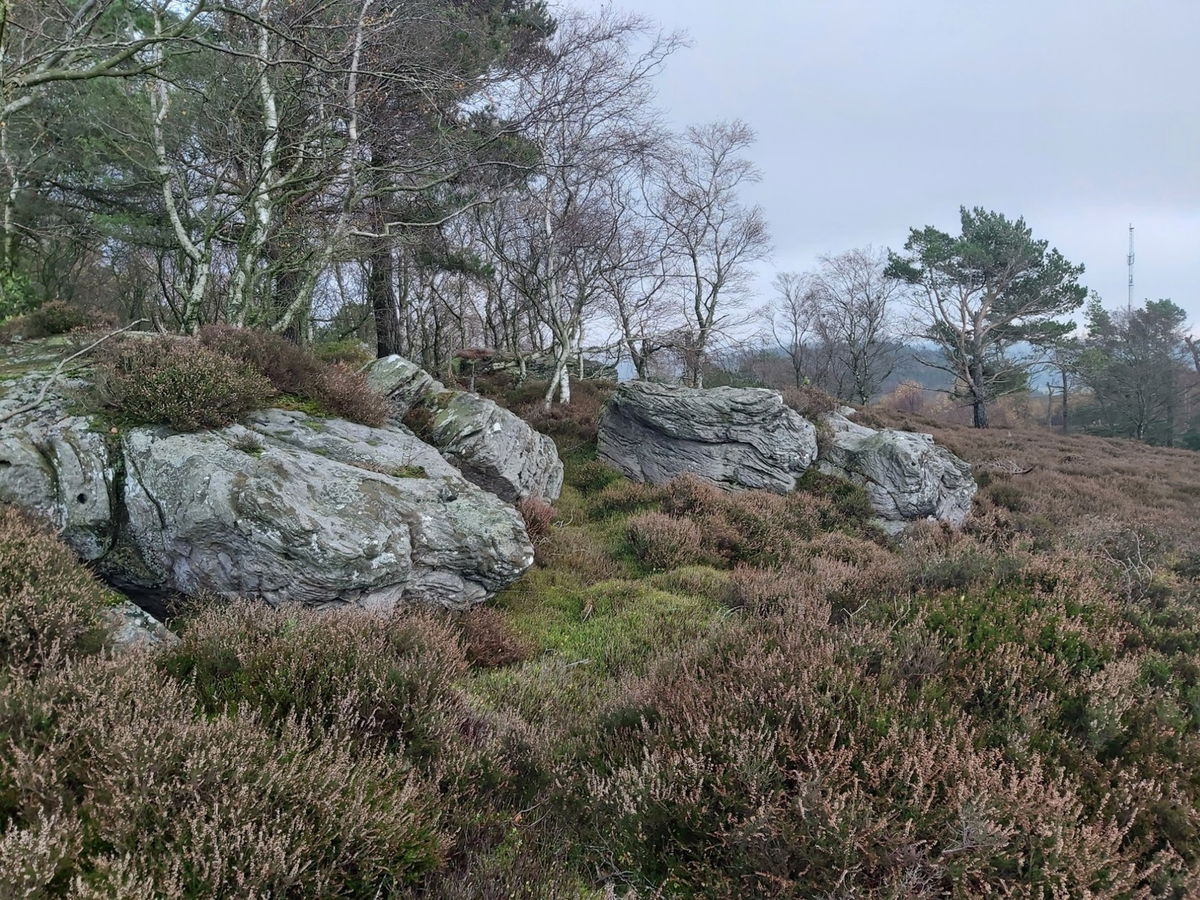
From here you just follow the path up and up until it brings you out on a huge bed of heather smattered with lots of rocks and crags.
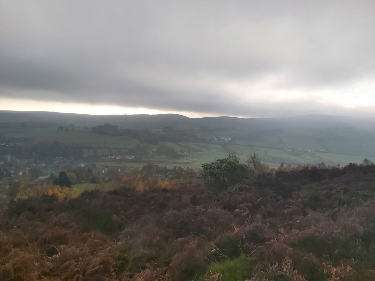
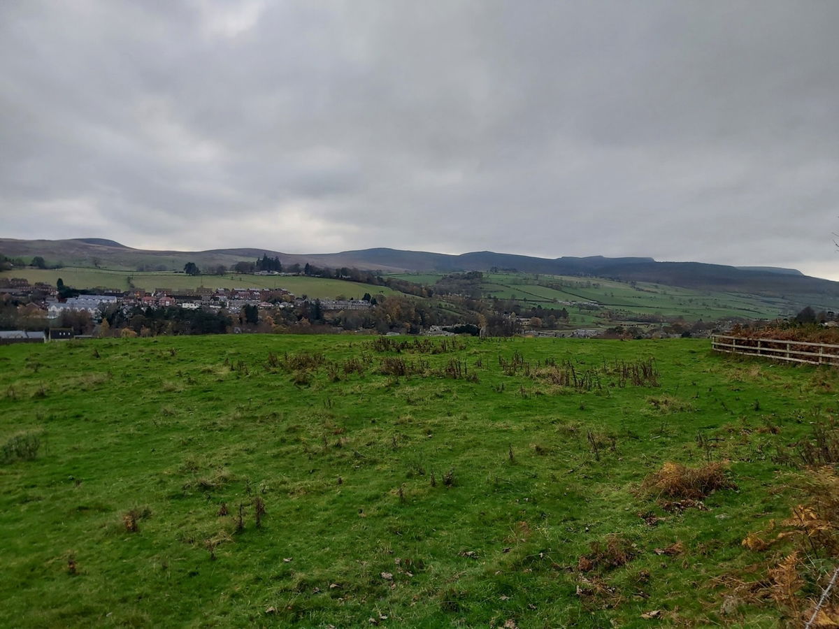
A little look back over Rothbury and am already quite high up.
And there are the Simonside Hills at the opposite side of the town.
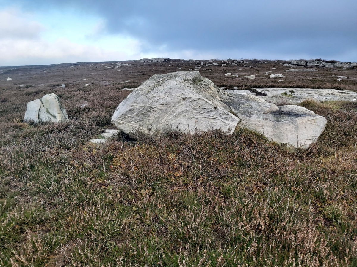
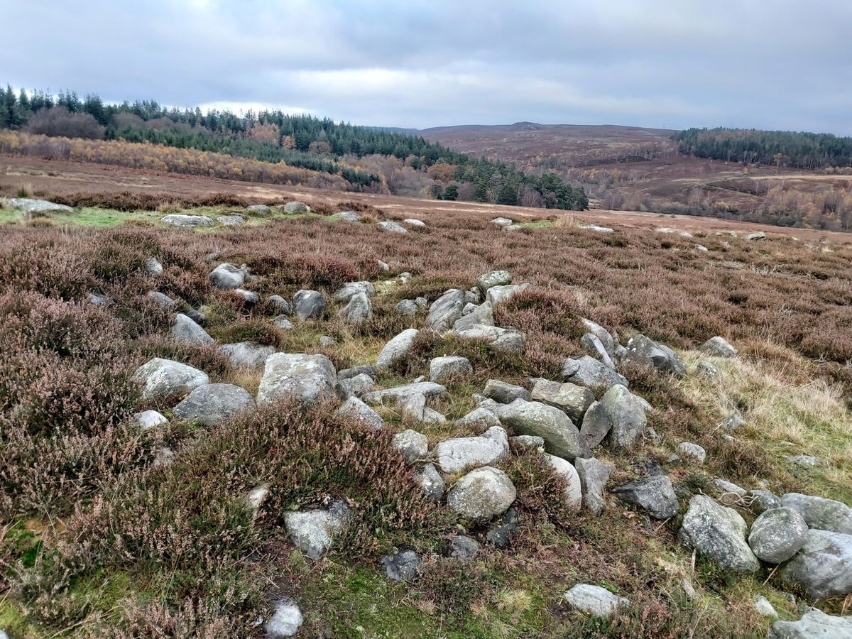
According to the map there was a cairn and a standing stone nearby, but even though I excessively wandered, I couldn't see anything that stood out from the other rocks that were there. Maybe one of these was it.
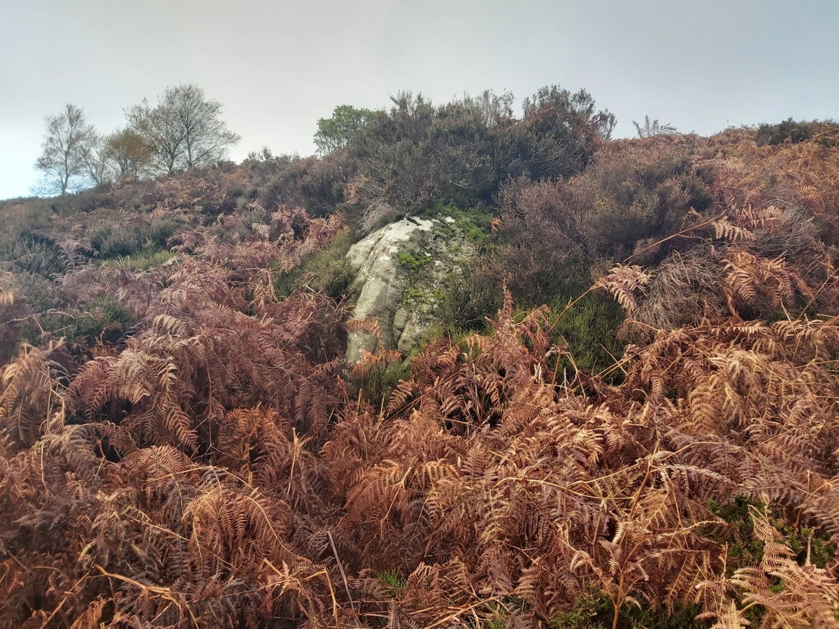
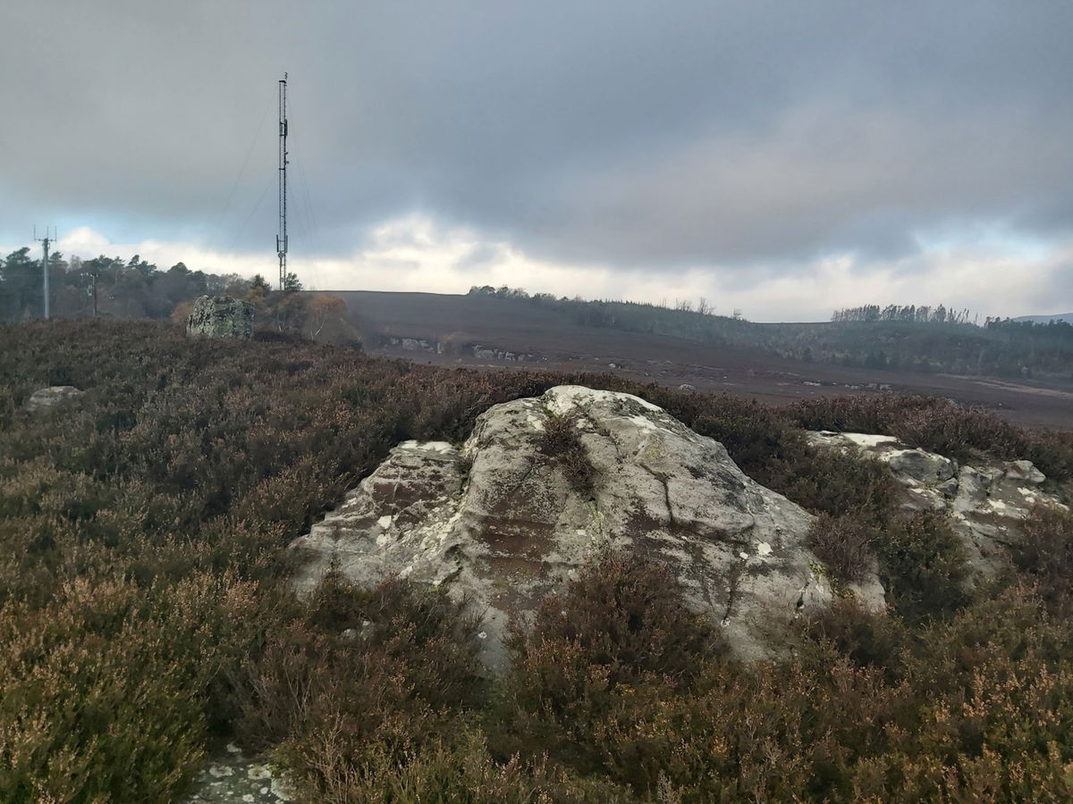
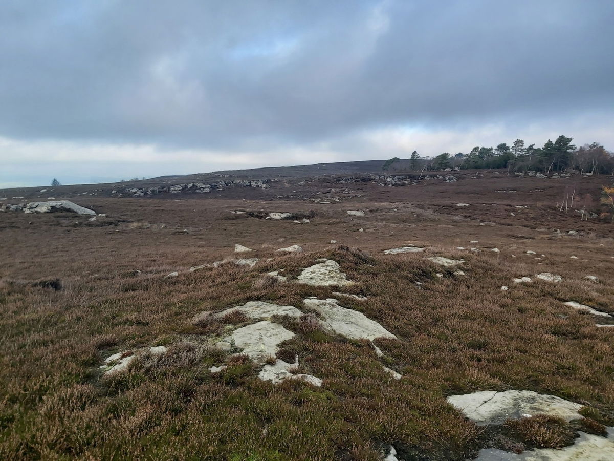
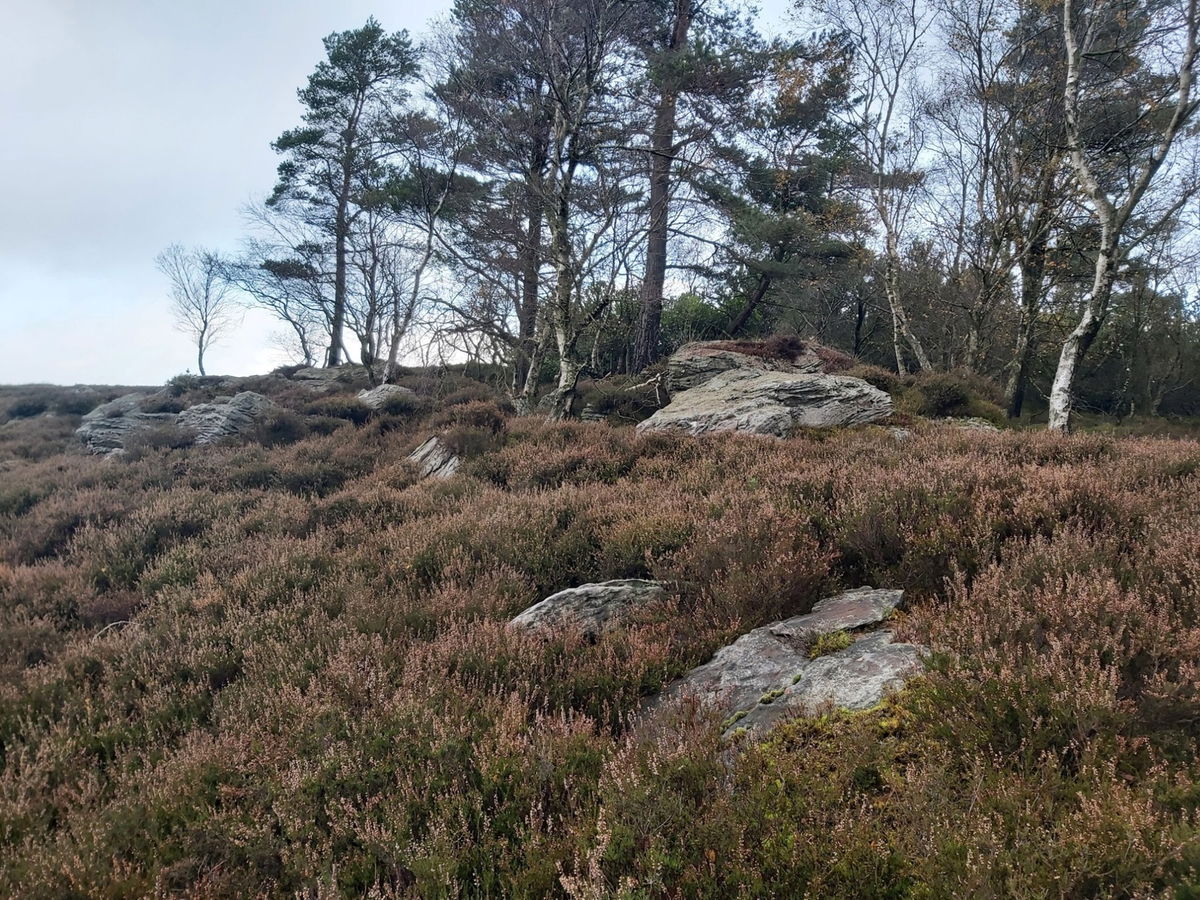
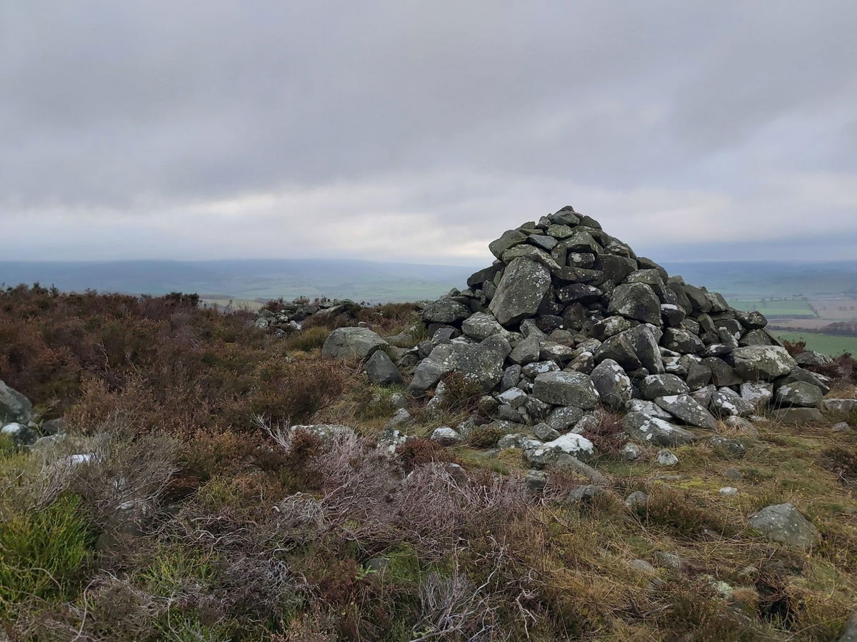
More crags and a cairn up ahead so I continued on the track towards those.


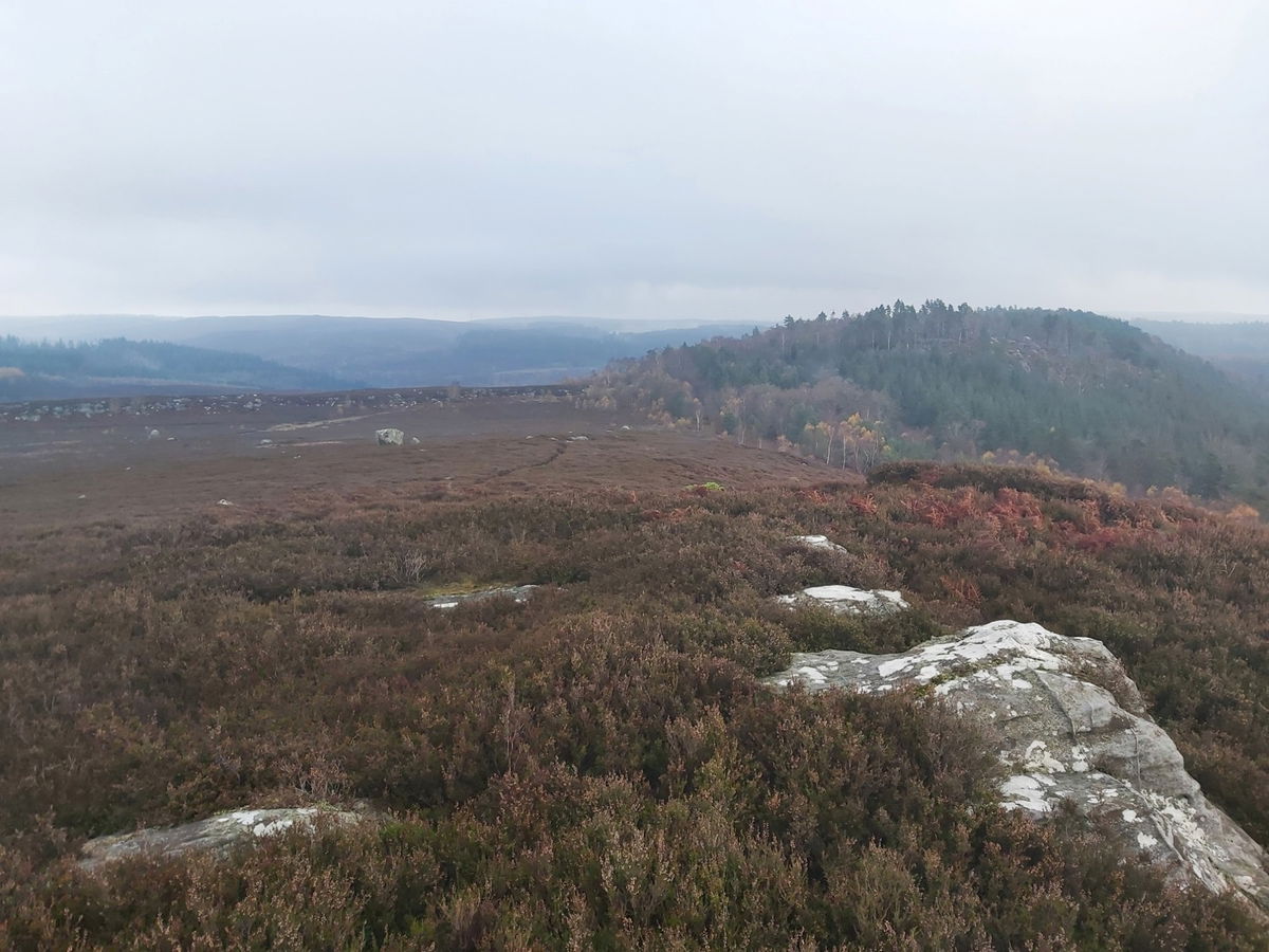
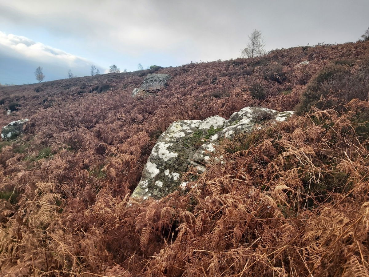
Just lots of fabulous crags everywhere.
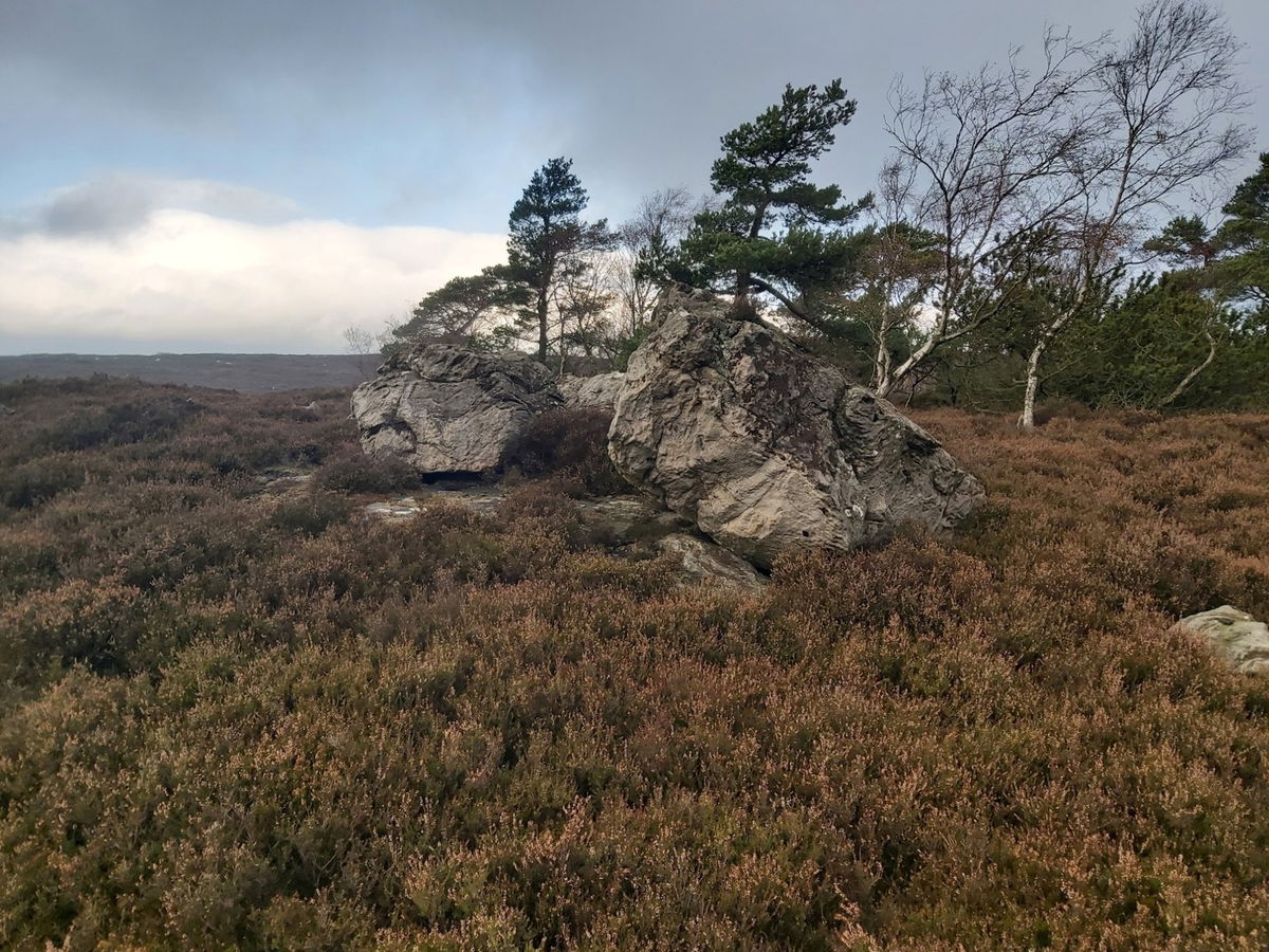
On the map was an area called Ship Crag within a little wooded area, so like a moth to a flame I headed over.
And just a few more pictures before I headed back on to the trail.

I think I continued on the route a maximum of 4 minutes before I saw a trig point on the map, so a diversion was needed. Successfully bagged the Target Plantation trig point.
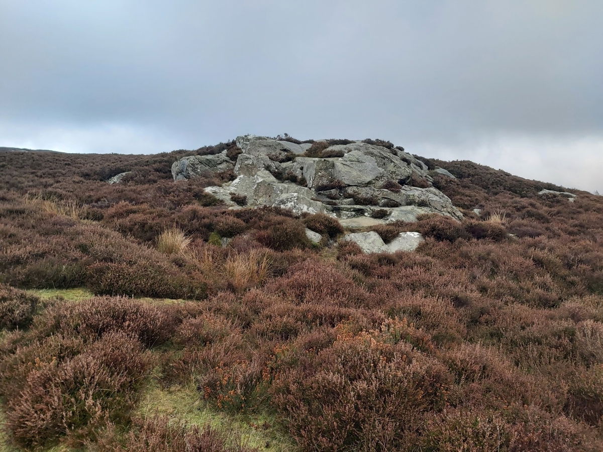
Wonderful views from the top and this big hulk of a rock was my next destination.
Just around the corner was something that I had actually planned into the route - The Rothbury Trenches. These were actually practice trenches dug in preparation by the 18th Battalion Northumberland Fusiliers for the First World War. From ground level you can't see too much, but here is an aerial shot from Google Maps.
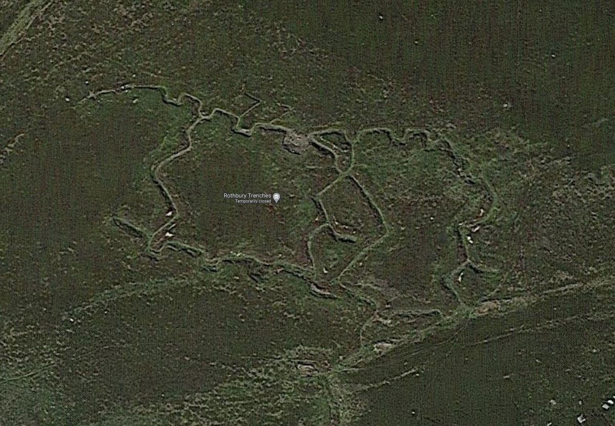
Will have to bring Red5 drone up here next time to get a better look. (Visited a second time and brought Red5 with me and you can see the aerial photography on the Rothbury Trenches page.)
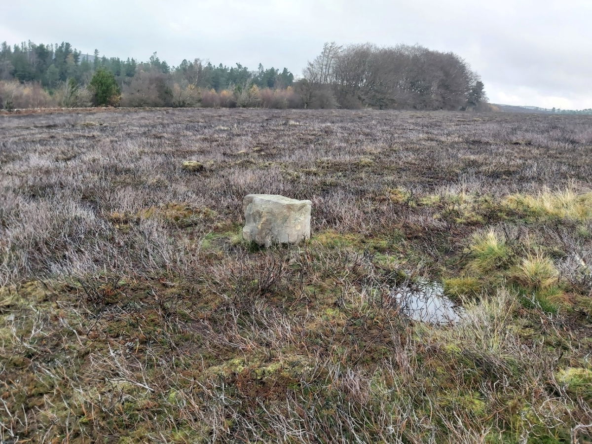
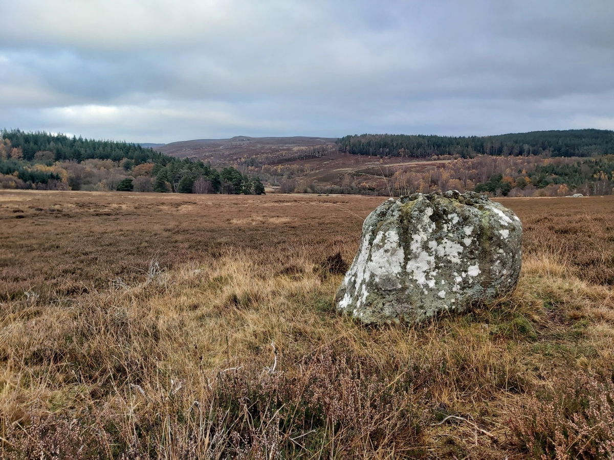
Heading back onto the trail I found a sad little stone all alone in the field.
Navigating through a little wooded area called Chapel Hill then brought me out near South Cartington and I found a pretty little waterfall. With the fallen trees, this was the best photo I could manage.
Spied some cool old lampposts as I approached the farm buildings.
I took a little diversion here as I noticed on the map there was a permissive path that runs close to Cartington Castle.
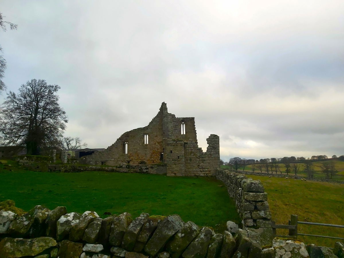
The castle itself is located at the back of the farm and there is no access to it. The permissive path does run near the outer wall so you can get a good view of it from here. The path then follows down the side of the houses to the road.
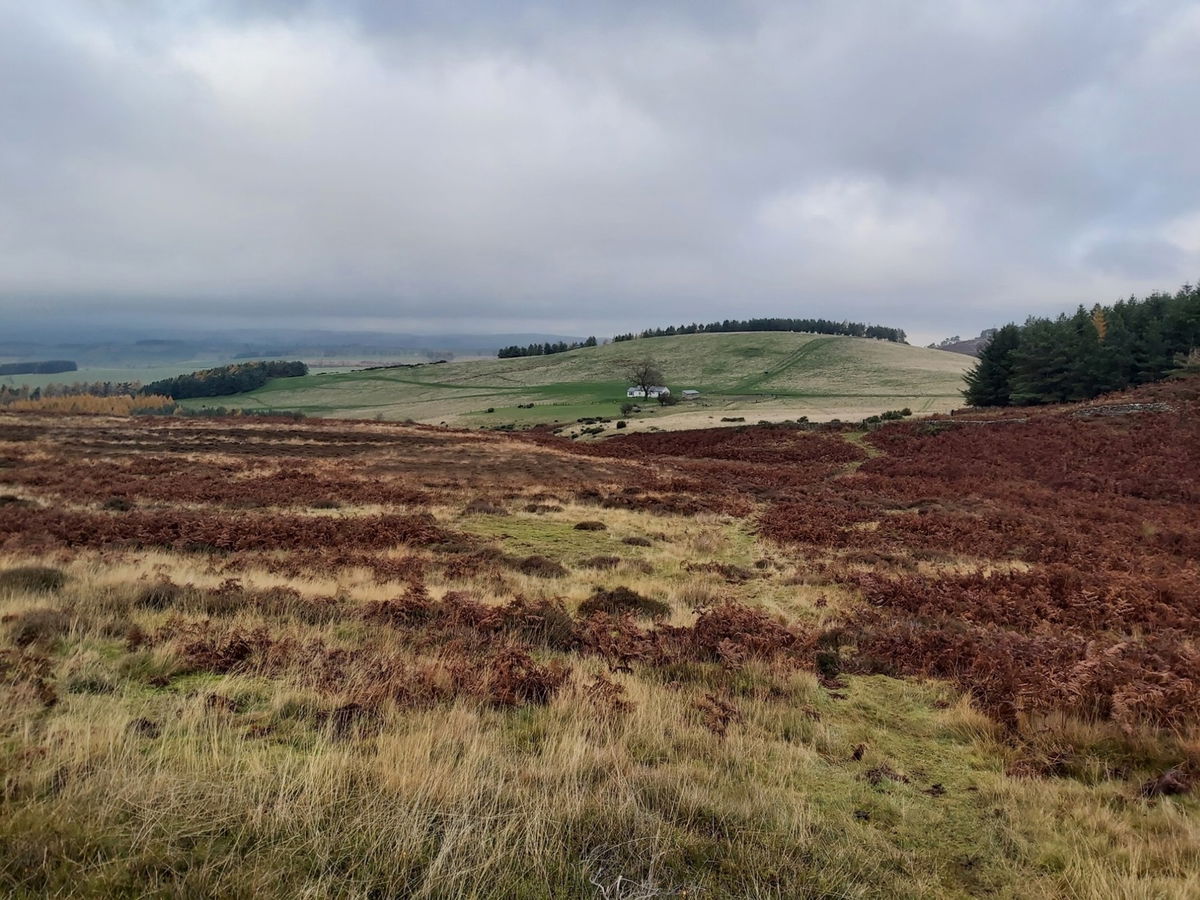
Retracing my steps I headed back down the permissive path to South Cartington Farm and then on to the forest track at the foot of Cartington Hill.
Found little marker stones just next to the track.
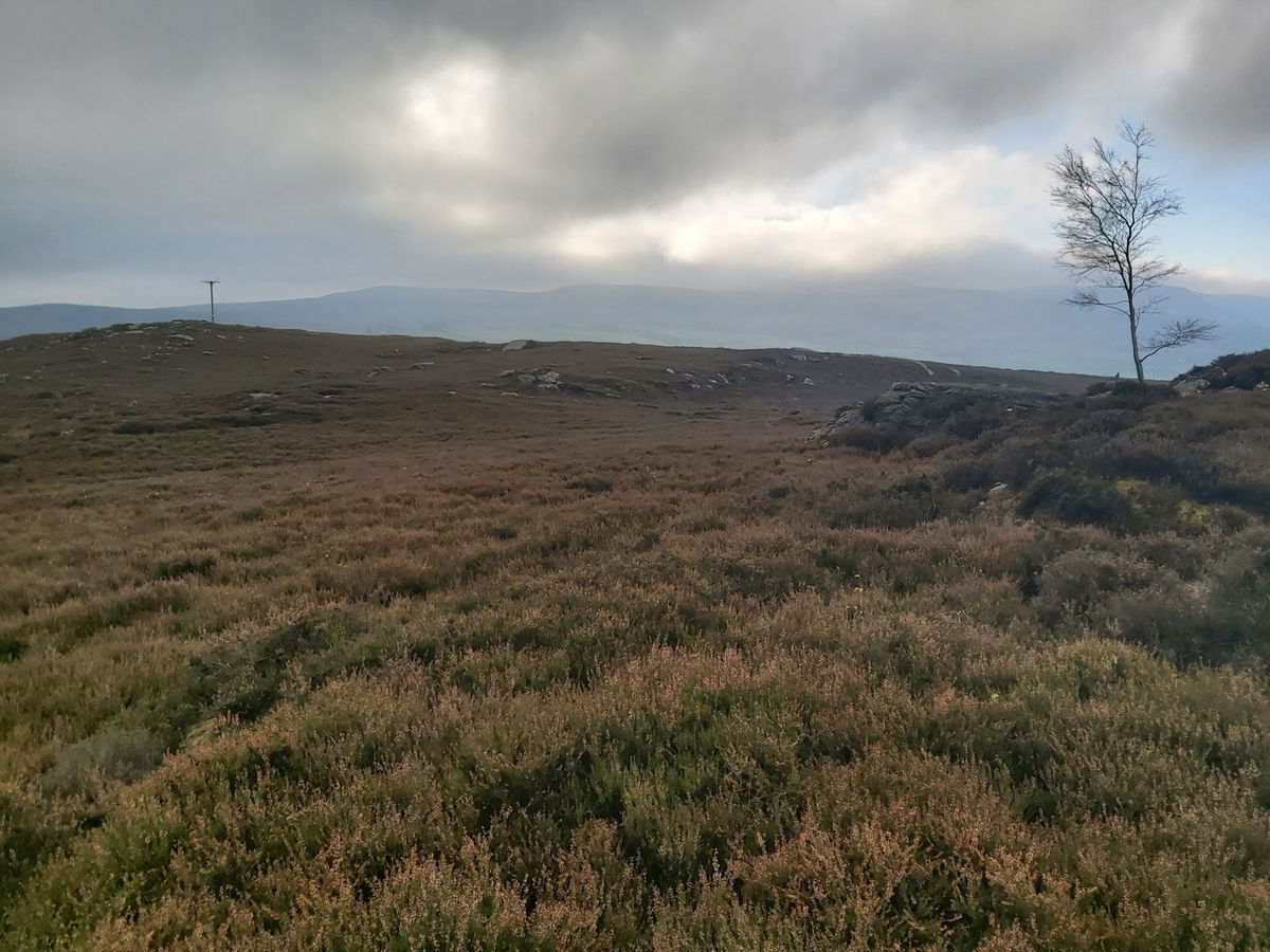
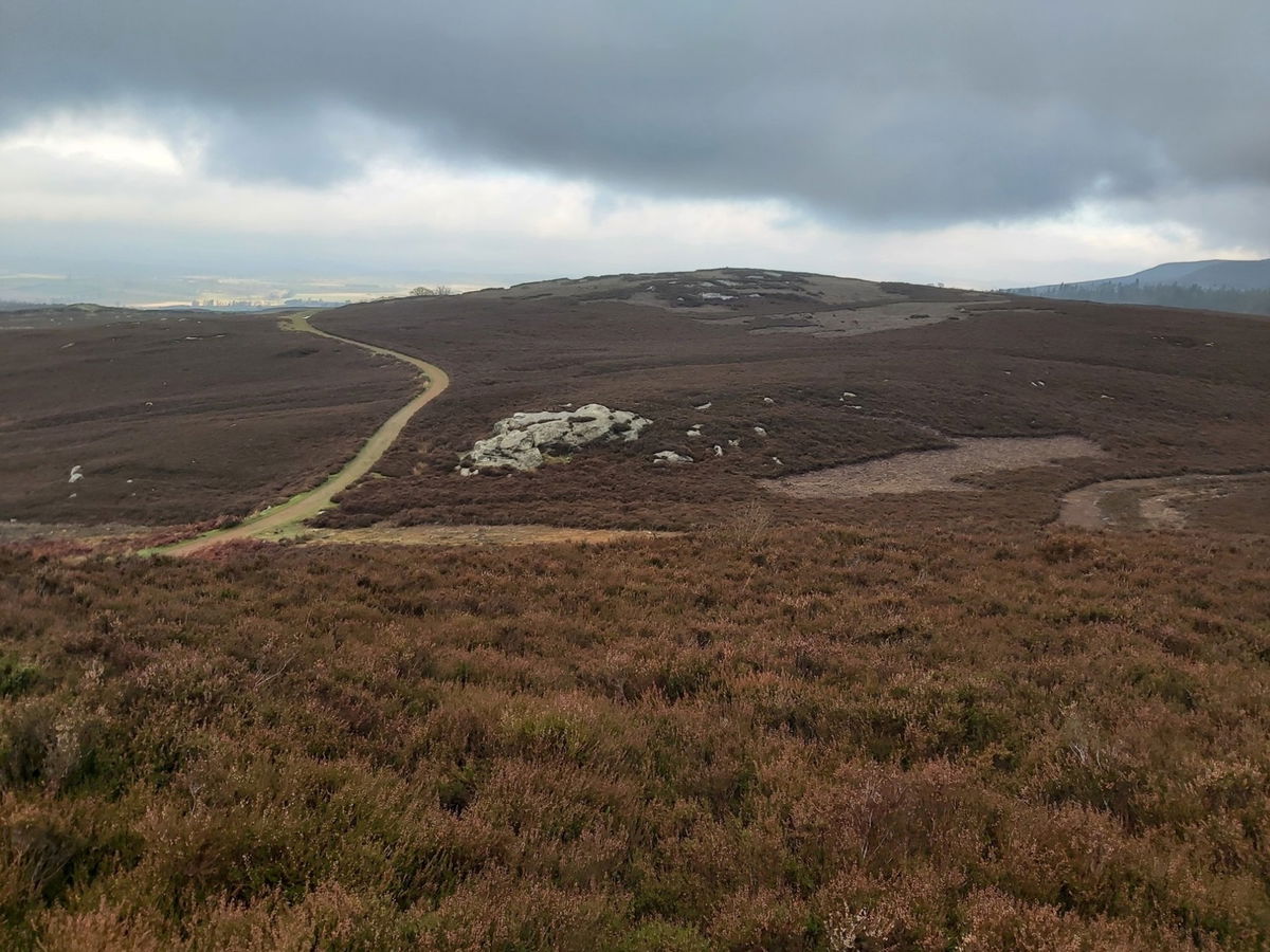
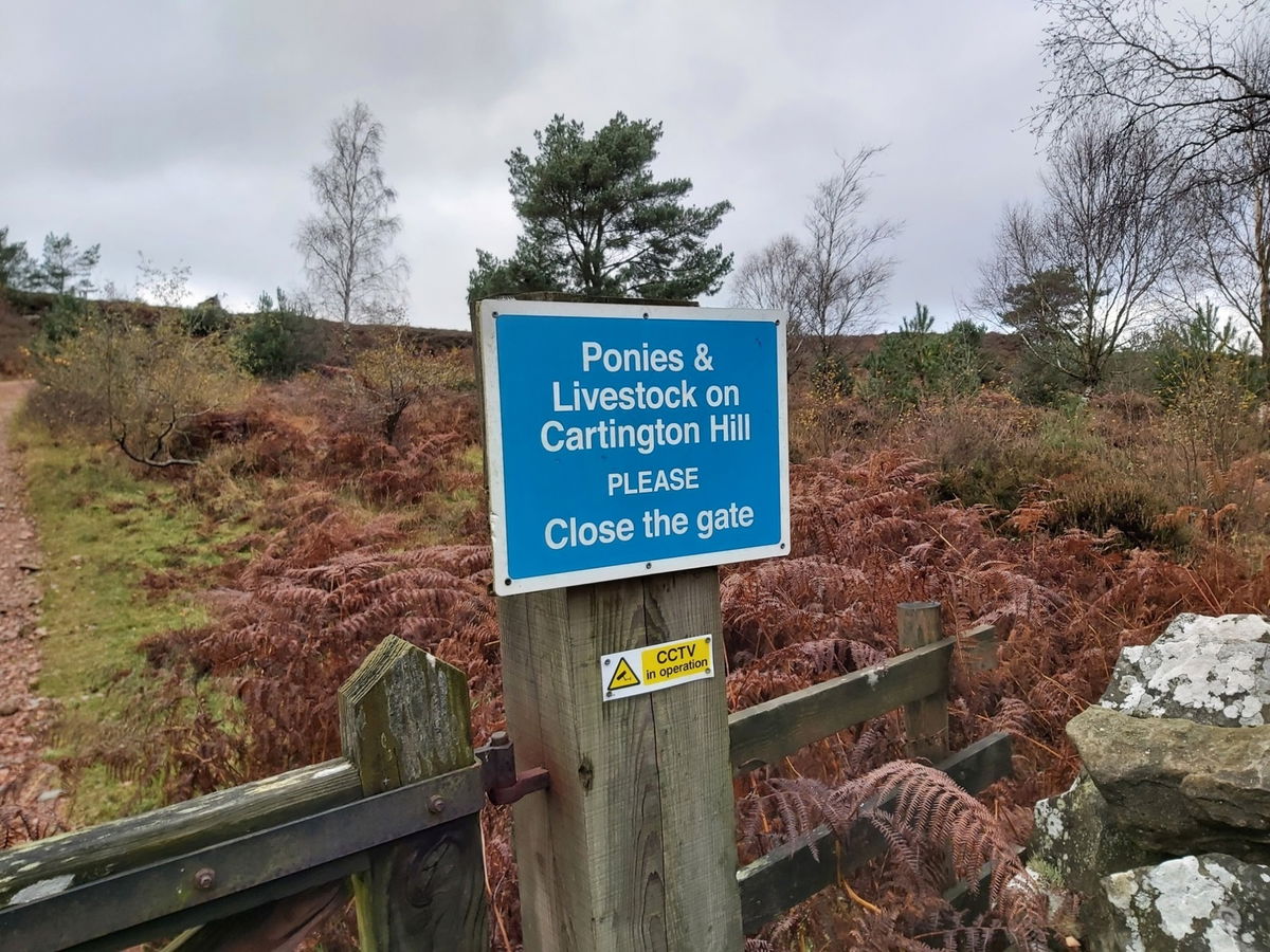
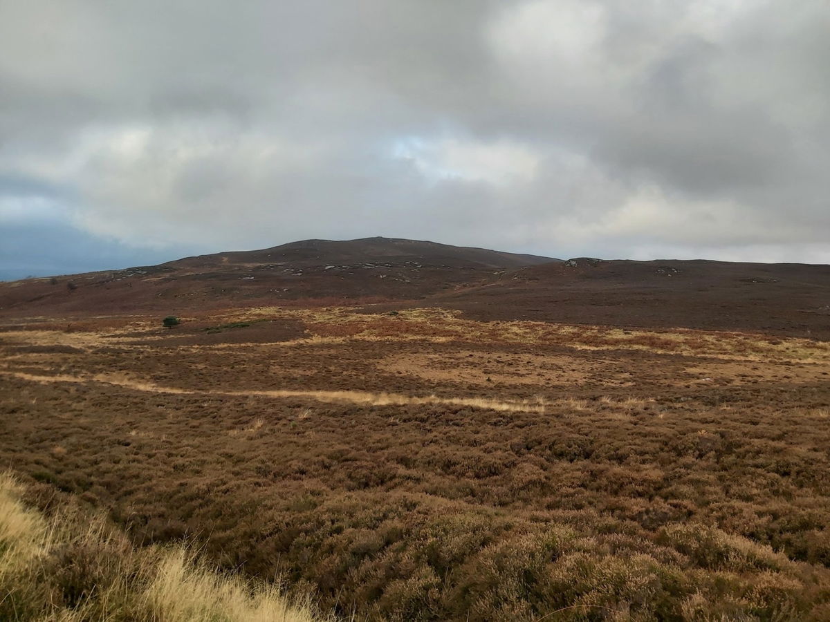
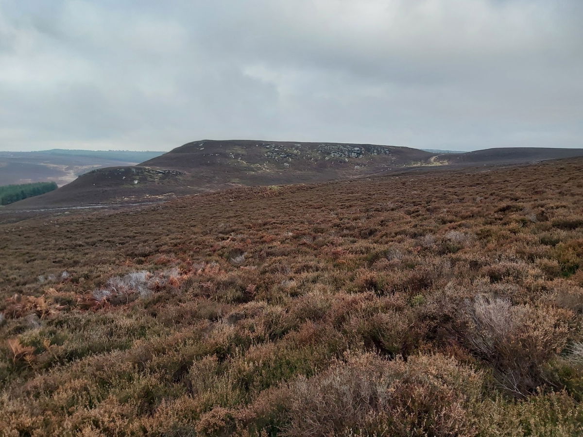
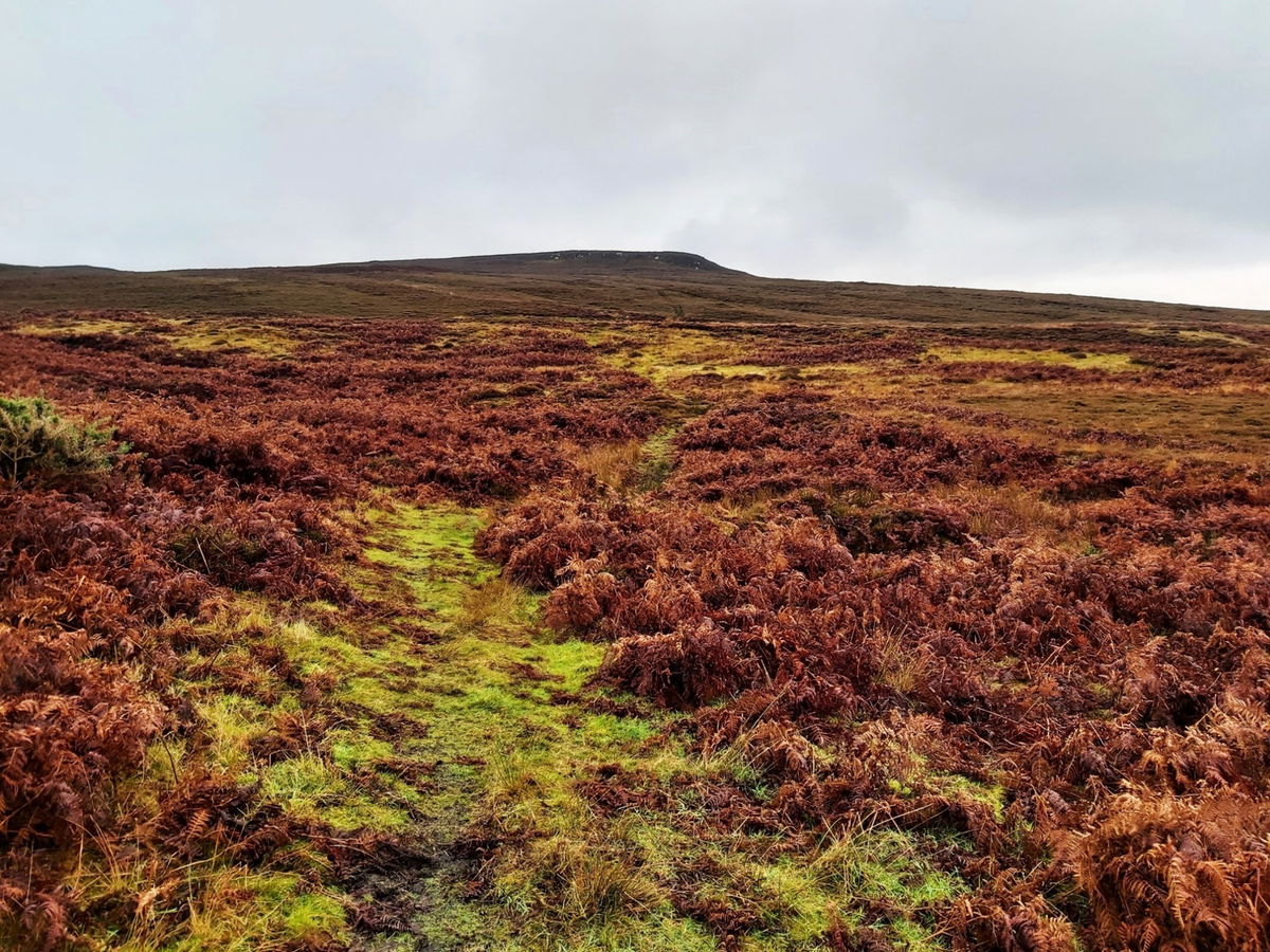
My plan was to head up and over the hill, see what I could find and then plot a route back if I spied some clear tracks. There is the hill with what looks like a little cairn on top.
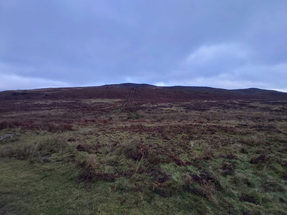
When the word clarty was invented, surely is was meant for the climb up Cartington Hill. There were some fab crags to be seen though.

And I am at the cairn at the top.
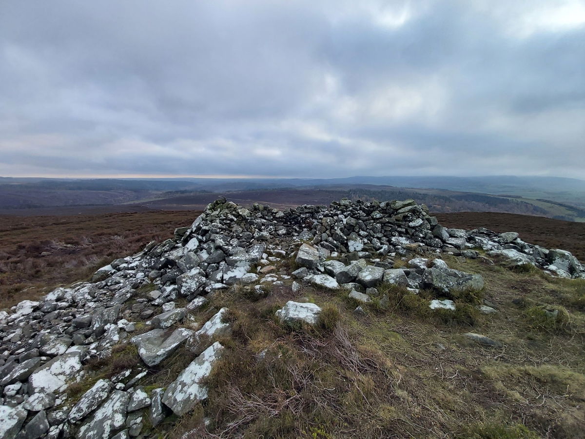
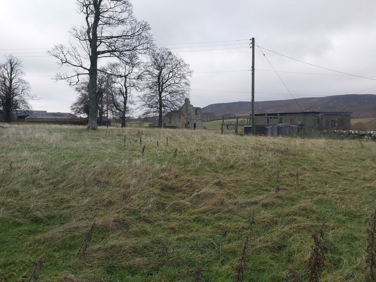
From here I can just make out Cartington Castle in the distance.
Found another little cairn and you see at the tip of the hill the first cairn I found.
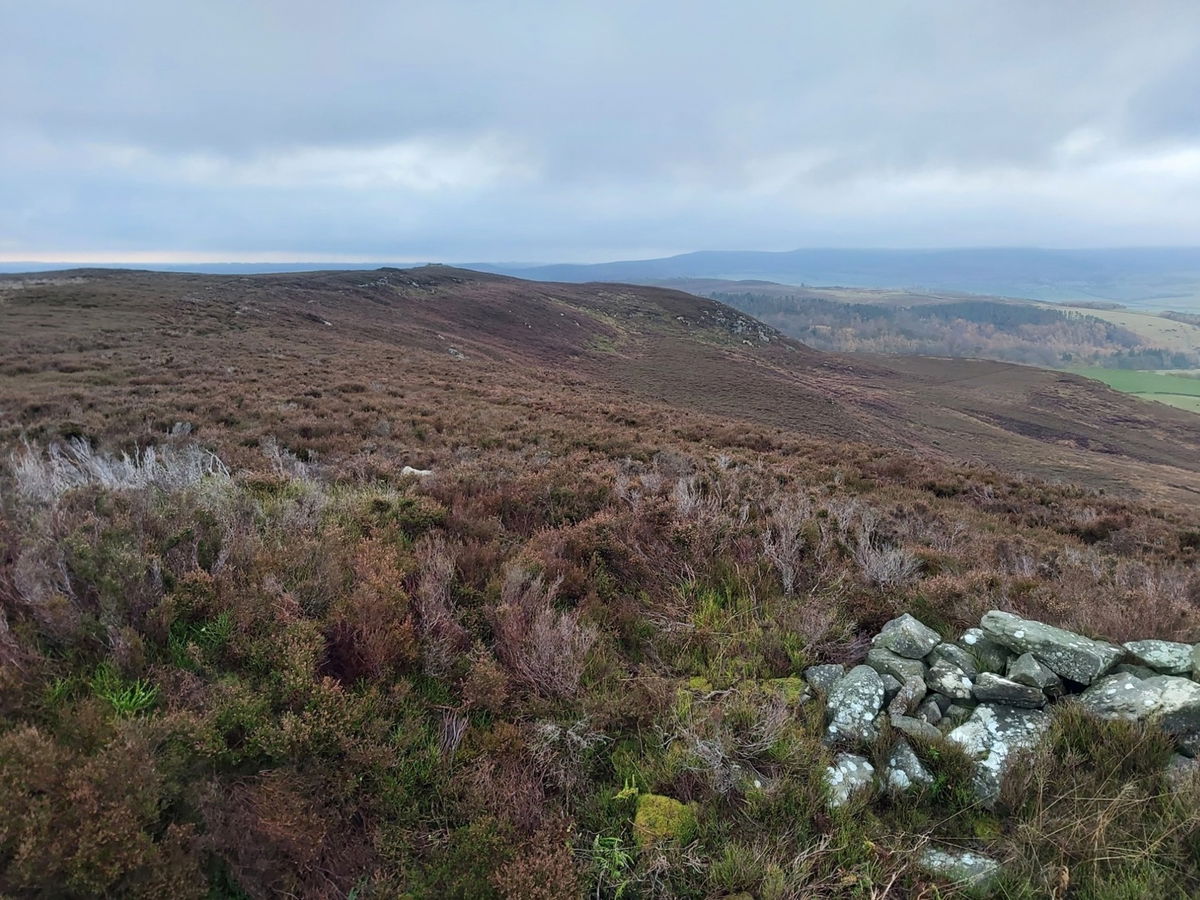
And another cairn.
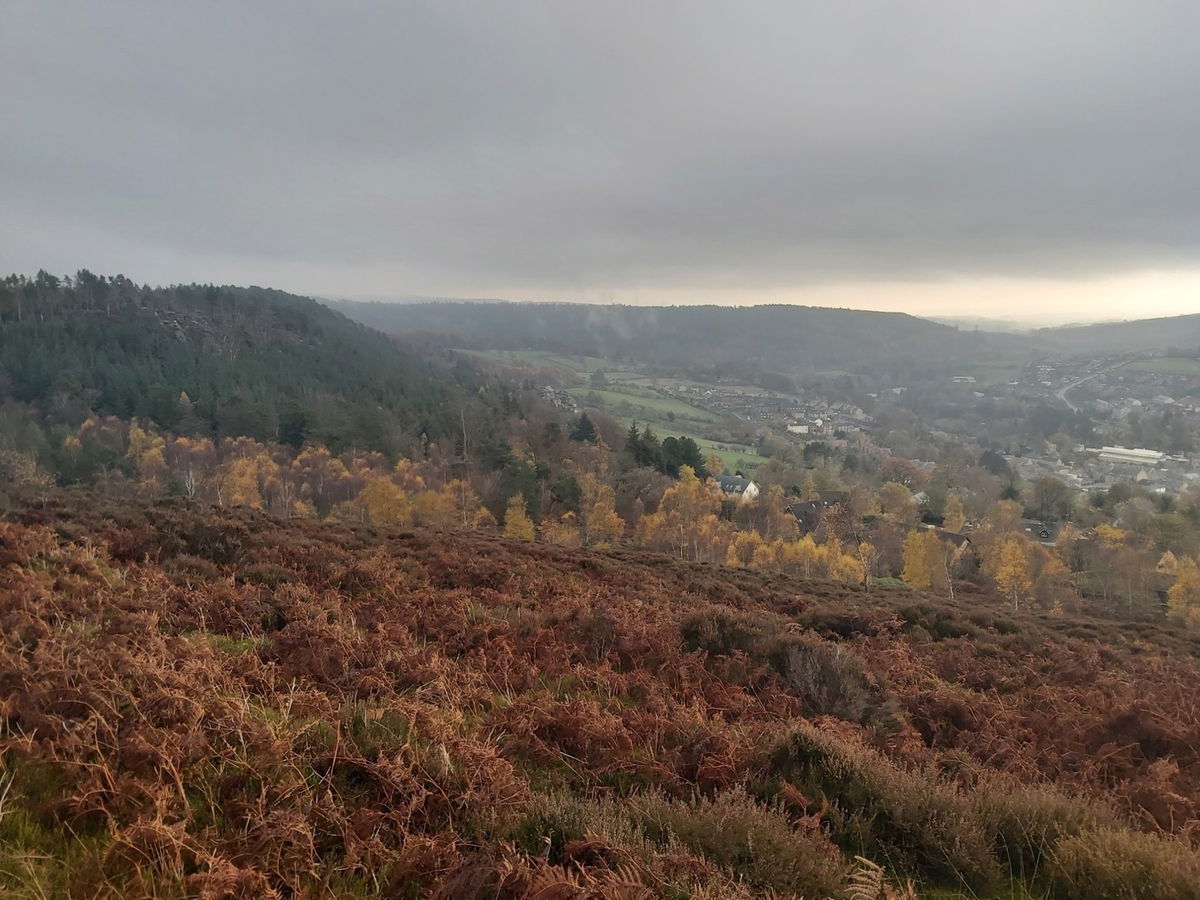
The hill in the distance is called Hard Heugh and my track takes me down the side of that.
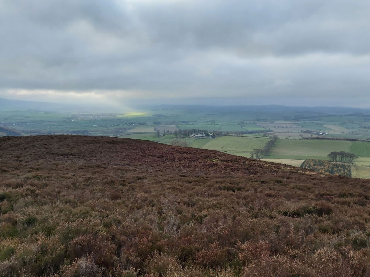
After that small grassy hill I come to a stile and as the weather is starting to turn I decided to head back. This is Cartington Hill from the north side. (Maybe a little filter to bring out the colours on this photo).
Once back down the hill and onto the forest track I again spied a cairn and a standing stone on the map so took a small detour.
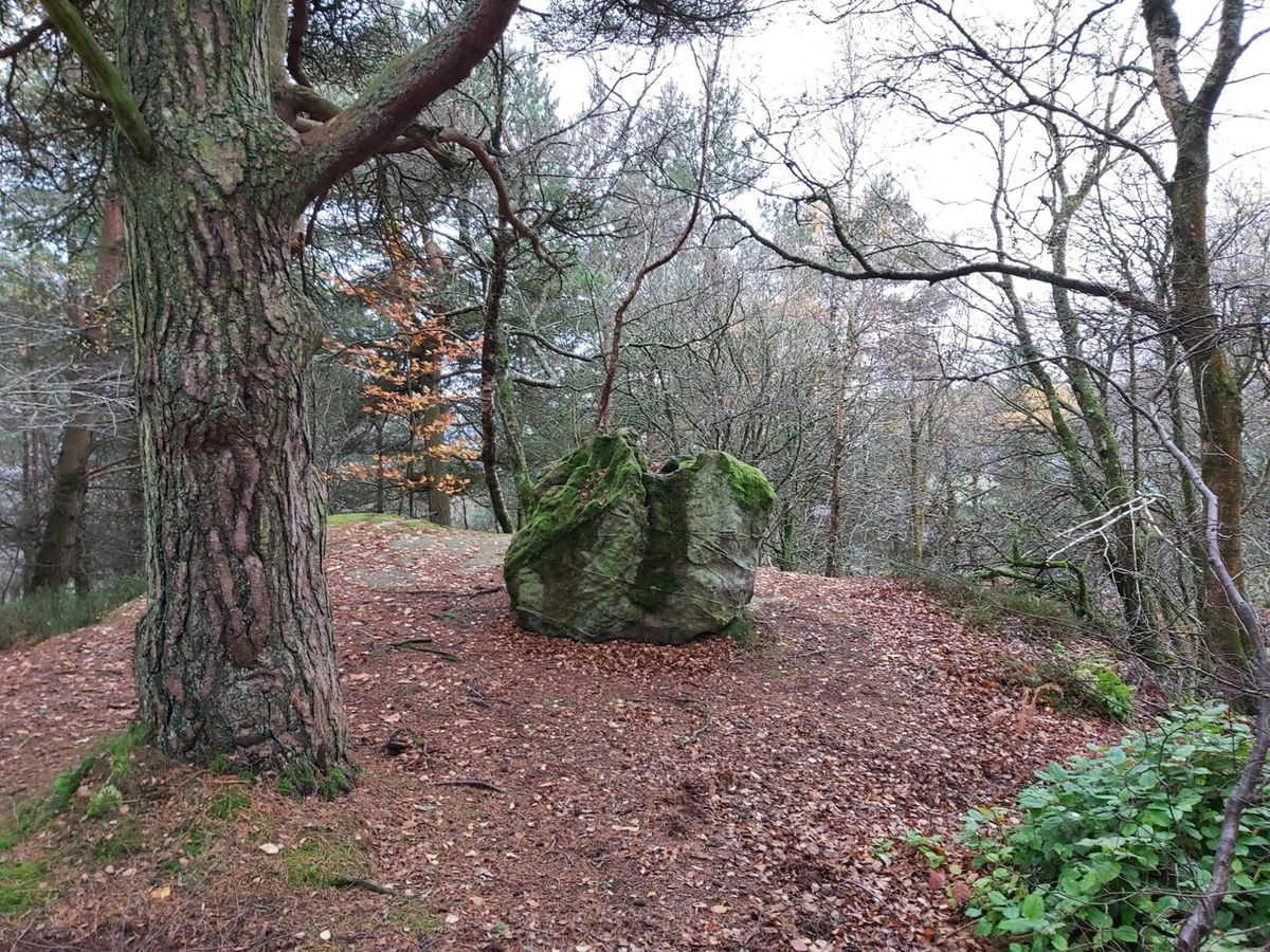
Back down onto Addyheugh woods above Rothbury and just a little trek downhill. Spied some pretty old graffiti on the rocks.

And a massive boulder just chillin' and enjoying the views.
Then pretty much back down, just following the fingerposts as it leads me back into the town.
A canny hike and lots more things to explore up there. Just over 20km in total.
Where to Park For Upper Rothbury And Cartington Hill
Where To Park For Upper Rothbury And Cartington Hill?
What three words
Plenty of parking in Rothbury town centre.
Fabulous Places On This Walk
Discover what fabulous places you will find on this walk - Upper Rothbury And Cartington Hill.

Rothbury Trenches
Military Rothbury NorthumberlandTraining trenches dug by members of the 18th Battalion of the Northumberland Fusiliers in preparation for World War I.

Cartington Castle
Castle Rothbury NorthumberlandA lovely little 12th century ruined castle just outside of Rothbury.
Contributed by Simon Hawkins
Thanks for checking out this place on the Fabulous North! I do enjoy a wander out in to the countryside trying to find hidden gems that not many people know about. You can't beat a rogue pele tower up a remote hill, a mysterious stone circle or a stunning waterfall secluded in a forest.
More Walks from Simon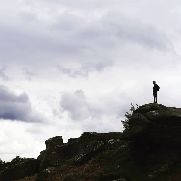
More Places In Rothbury
Find more fabulous places in Rothbury, Northumberland and if you know of a place we haven't listed, then let us know.

Tosson Hill Trig Point
Trig Point Rothbury NorthumberlandThe trig point sitting on top of Tosson Hill (440m) #147.

High Trewhitt Trig Point
Trig Point Rothbury NorthumberlandThis is the trig point for High Trewhitt (165m) near Rothbury.

Lane End Trig Point
Trig Point Rothbury NorthumberlandThe Lane End trig point in a field overlooking Whittingham (143m) near Rothbury.

Find Us On Facebook
We post all our new places daily on our Facebook Groups page, so join the group today and be notified when we add a new place.
Join Our Facebook Group