
Stanwick Iron Age Fortifications
Settlement In Richmond, North Yorkshire
An incredible feat of ancient engineering at one of the largest Iron Age settlements in England, encompassing around 300 hectares (740 acres) and stretching nearly four miles (6.5 km) long. Believed to be the royal centre of the Brigantes tribe, an example of their once wealth and power.
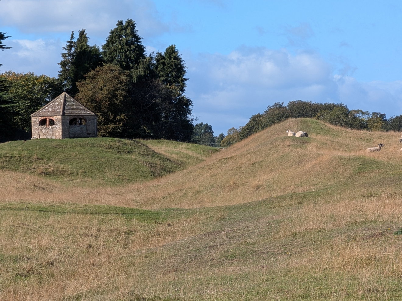
Whenever plotting out a walk, I'm always on the lookout for local points of interest, something distinct to centre the hike around. Stanwick Camp (or the Stanwick Iron Age Fortifications) met the brief perfectly. Sitting on the northern edge of North Yorkshire, the OS Map gives plenty of clues about what's in store, featuring a network of sweeping earthworks and even a staple of Fabulous North: a hill fort. Though to avoid disappointment, I should mention the "hill" itself stands at less than 100 metres!
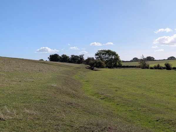
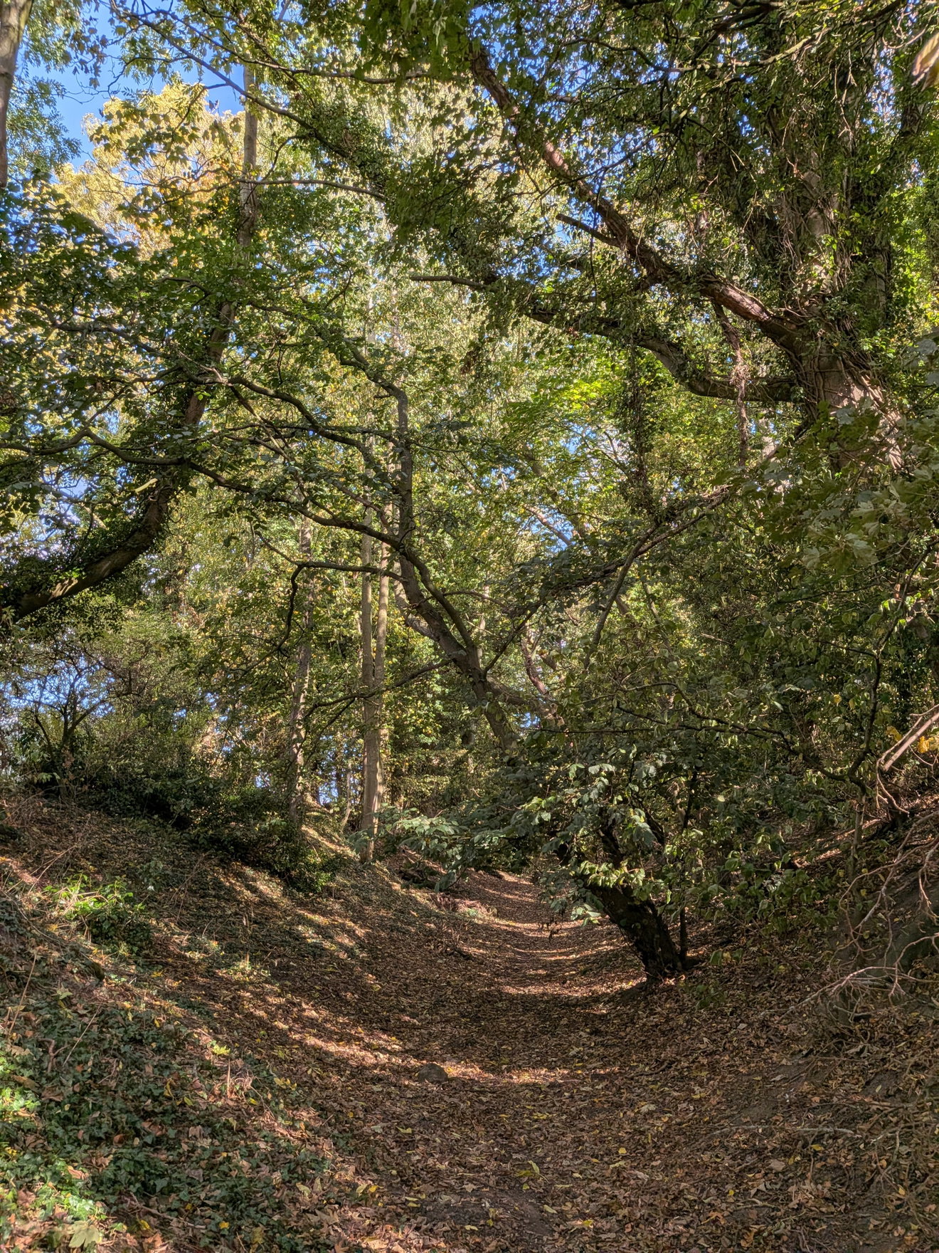
What makes the Stanwick Fortifications so remarkable is that, despite their immense size, they aren't particularly well known. The settlement encompasses around 300 hectares (740 acres) and stretches nearly four miles (6.5 km) long. As you explore the landscape, the earthworks appear everywhere, a living reminder of ancient history, with ramparts rising up to 5 metres high in places. When you pause to take it in, it's an incredible feat of ancient engineering that highlights the sheer power and wealth of the Brigantes tribe.
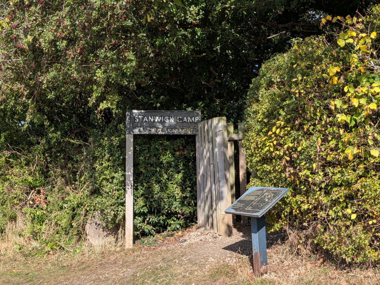
Stanwick is believed to date from around the 1st century AD, with the ramparts built around an earlier settlement. It belonged to the Brigantes, who controlled vast swathes of Northern England prior to the Roman expansion. It is often referred to as a Brigantian oppidum ,a large, fortified pre-Roman Celtic settlement.
The Brigantes were a dominant tribe of Celtic Britons, and their territory, known as Brigantia, stretched from the River Humber all the way to the River Tyne, taking in Yorkshire, Lancashire, the Pennines, and parts of Cumbria. Their influence in the ancient world was formidable enough to be documented in both Greek and Roman texts. Many of the documented references to the Brigantes come from Greek and Roman texts.
The Ancient Greek geographer Claudius Ptolemy recorded the Brigantes as the most populous tribe in Britain and said that their territory spanned across Northern England from the Irish Sea to the North Sea.
When the Romans first arrived, the Brigantian queen, Cartimandua, struck a deal: in exchange for her people's independence, she would cooperate with Rome. This agreement didn't sit well with everyone, least of all her anti-Roman husband, Venutius. It is widely theorised that Stanwick was Queen Cartimandua's personal estate, and it may even have served as the royal capital of the Brigantes.
To appreciate the scale of Stanwick, you really need to hike it, or at the very least, follow the footpath from Stanwick Camp at Forcett to Stanwick St John. This leads to The Tofts, the central area of the settlement where excavations revealed timber roundhouses and other structures dating back to mid-1st century AD.
The Tofts is also home to a surviving 18th-century hexagonal Deer Shelter, built over a former icehouse for nearby Forcett Hall and the Stanwick Estate. Sitting atop the ancient defensive earthworks, the shelter makes for an imposing silhouette.
Over at the Forcett site, you can view some of the best-preserved sections of the ramparts. The area was excavated extensively in the 1950s by Sir Mortimer Wheeler, and later by Durham University. Archaeologists uncovered fine pottery and luxury Spanish jugs, pointing to extensive trade networks. Wheeler also made a dramatic discovery here: an Iron Age sword alongside the severed skull of a human head, bearing wounds from a sword or axe. Wheeler speculated that the skull may have been displayed at the gate either as a trophy or a grim warning to rivals.
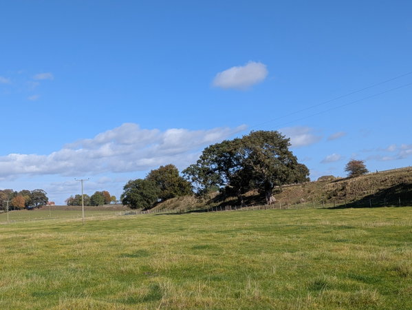
This wasn't the only major discovery in the area. In 1845, a cache of 140 metal artefacts known as the Stanwick Hoard was unearthed nearby, including horse harnesses for chariots and a bronze horse-head bucket ornament, now held by the British Museum as the famous 'Stanwick Horse Mask'.
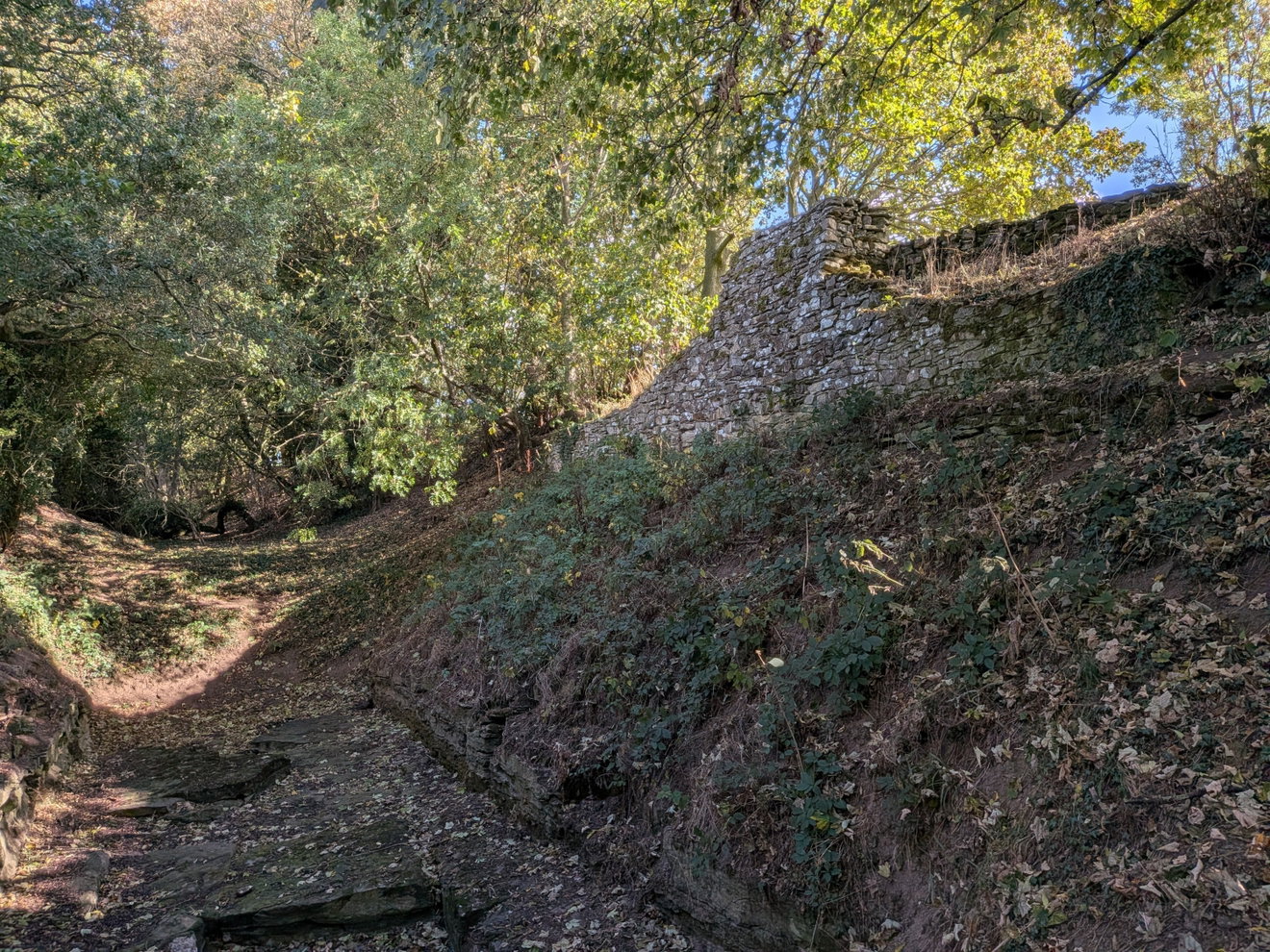
At Stanwick Camp itself, a section of the stone wall ramparts has been cleared and partially reconstructed using fallen local stone to illustrate how the original fortifications looked. It remains impressive, even though the reconstructed section stands only about 60cm above the original rampart core, whereas the original retaining walls reached up to 5 metres. These walls were built to reinforce the massive ditch-and-rampart network. Walking along the path at the base, or along the top, gives you a tangible sense of scale, especially where the defensive ditches were cut directly into the underlying bedrock. Walking along the crest offers a real, tactile connection to the past.
Stanwick ultimately declined in importance after AD 70 as Roman power pushed further north, but its scale underscores its past prominence. One compelling theory is that the enormous ramparts were built more for prestige and display than for practical defence.
Further highlighting the region's importance, the largest Iron Age metalwork hoard ever found in the UK, the Melsonby Hoard, comprising over 800 items, was discovered just outside the nearby village of Melsonby. Dated to around AD 1, highlights from the hoard are currently on display at the Yorkshire Museum in York. This includes 'The Block', a fused 150kg mass of metal artefacts measuring nearly a metre across.
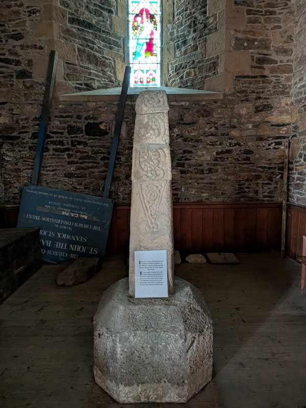
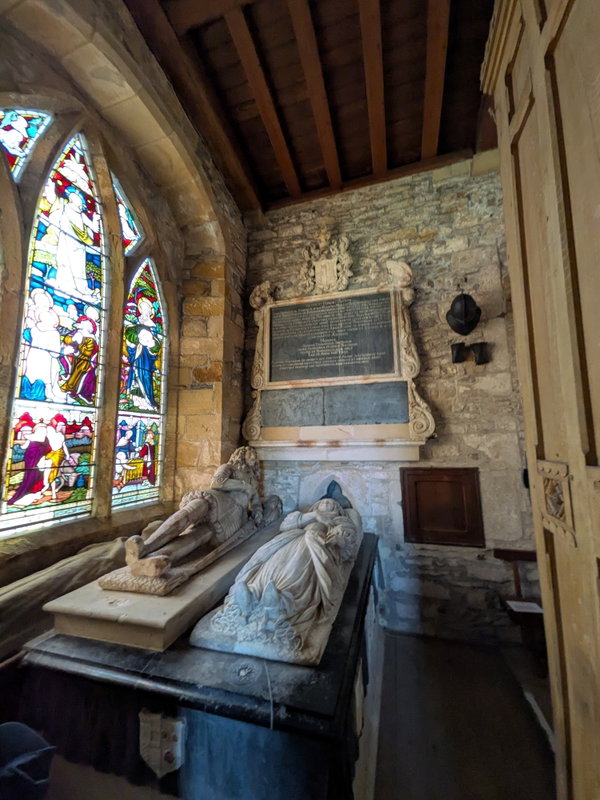
Our own route started out from the picturesque village of Eppleby and headed to Aldbrough St John, which features a fine medieval packhorse bridge that once linked Tyneside with Lancaster. From there, we pushed on to Kirkbridge, where we got our first views of the fortifications. St John's Church at Stanwick St John is well worth a visit in its own right, housing a Viking-age ring cross, remarkable stone carvings, and beautiful stained glass. The path to Stanwick cuts right through the churchyard, history is truly all around you here.
This quiet, sleepy corner of North Yorkshire might be easy to pass by, but it's well worth making the stop to explore what was once a mighty royal power base and to feel that history right beneath your feet.
Get 3 points if you have visited this place. Already visited by 8 VIPs.
Login to bag this placeHelp fuel the next adventure
Fabulous North is free, with no annoying adverts and fuelled by an unhealthy desire to poke around castles, hills, churches and suspicious-looking bits of stone.
If you enjoy what we do, you can help keep us exploring.
Champion This Place
Got a special memory of Stanwick Iron Age Fortifications, a story to tell or simply a soft spot for it? Champion Stanwick Iron Age Fortifications and we'll add your name, photo and a short message to this page, while your support helps us keep Fabulous North exploring.
How To Find Stanwick Iron Age Fortifications
Where Is Stanwick Iron Age Fortifications?
Lat / Long
54.506482, -1.724754
What three words
Where To Park For Stanwick Iron Age Fortifications?
Lat / Long
54.506239, -1.729213
What three words
Park considerately in the village of Forcett, limited roadside parking available.
Contributed by Sean Linley
A keen walker and wildlife enthusiast and dog dad originally from Leeds but a Newcastle resident for 10 years with a passion for history and heritage. Always curious about my local area and always on the lookout for something new. You’ll often find me studying the OS map for new places to explore!
More Places from Sean
More Places In Richmond
Find more fabulous places in Richmond, North Yorkshire and if you know of a place we haven't listed, then let us know.

Swinner Gill Lead Mine
Building Richmond North YorkshireThe ruin of Swinner Gill Lead Mine near Keld, Upper Swaledale in the Yorkshire Dales.

Georgian Sundials
Machinery Richmond North YorkshireGeorgian era sundials on two facades of one house at The Green in Richmond.

St Martins Priory
Religious Place Richmond North YorkshireRuins of a 12th century Benedictine priory, close to the banks of the River Swale.
More Settlements
So this settlement wasn't enough and you want more? Don't worry we have you covered.
Oh no! We couldn't find any more places for this category. Don't worry, we're adding new places all the time, so please check back again soon.
Never Miss A Fabulous Place
If you are afraid of missing out on all the fabulous places we post, or just want to be the first to know, then sign up to the Fabulous North.
Each week we will email you all the brand new places that we visit.
Sign Up To Alerts

Find Us On Facebook
We post all our new places daily on our Facebook Groups page, so join the group today and be notified when we add a new place.
Join Our Facebook GroupStanwick Iron Age Fortifications was listed in Settlement // North Yorkshire // Richmond