Cheviot and Hedgehope Hill Hike
The Cheviots, Northumberland
A wander in the Cheviots bagging seven hills over 500m including Cheviot Summit and Hedgehope Hill, Broadhope Hill, Preston Hill, Scald Hill, Cairn Hill and Comb Fell.
Distance - 23km (14 miles)
Ascent - 1,211m
Duration - Approx 6 hours
Terrain - Some clear tracks on the hills, some grassy paths and then the pavement on the Cheviot Summit. Comb Fell is extremely boggy, even in the best of conditions, so you need to pick your path.
Parking - Plenty of parking in a big grass verge just off the road. View Parking Map
View Route On OS MapSince my recent endeavour up the Cheviot via the Hen Hole in the summer, I've wanted to go back and explore more of the amazing hill and mountainous range. The Cheviots have always been a bit of a mysterious place to me, but the bleak and barrenness of it all can be quite spectacular.
First plan, map out a route for where I want to go, seeing how many hills I can squeeze in. Starting at Langleeford, I am heading straight up Broadhope Hill, nipping up its neighbour Preston Hill, before mooching over to Scald Hill which then leads up on the Cheviot Summit. Then sweeping around to Cairn Hill, Comb Fell, before the final ascent up Hedgehope Hill.
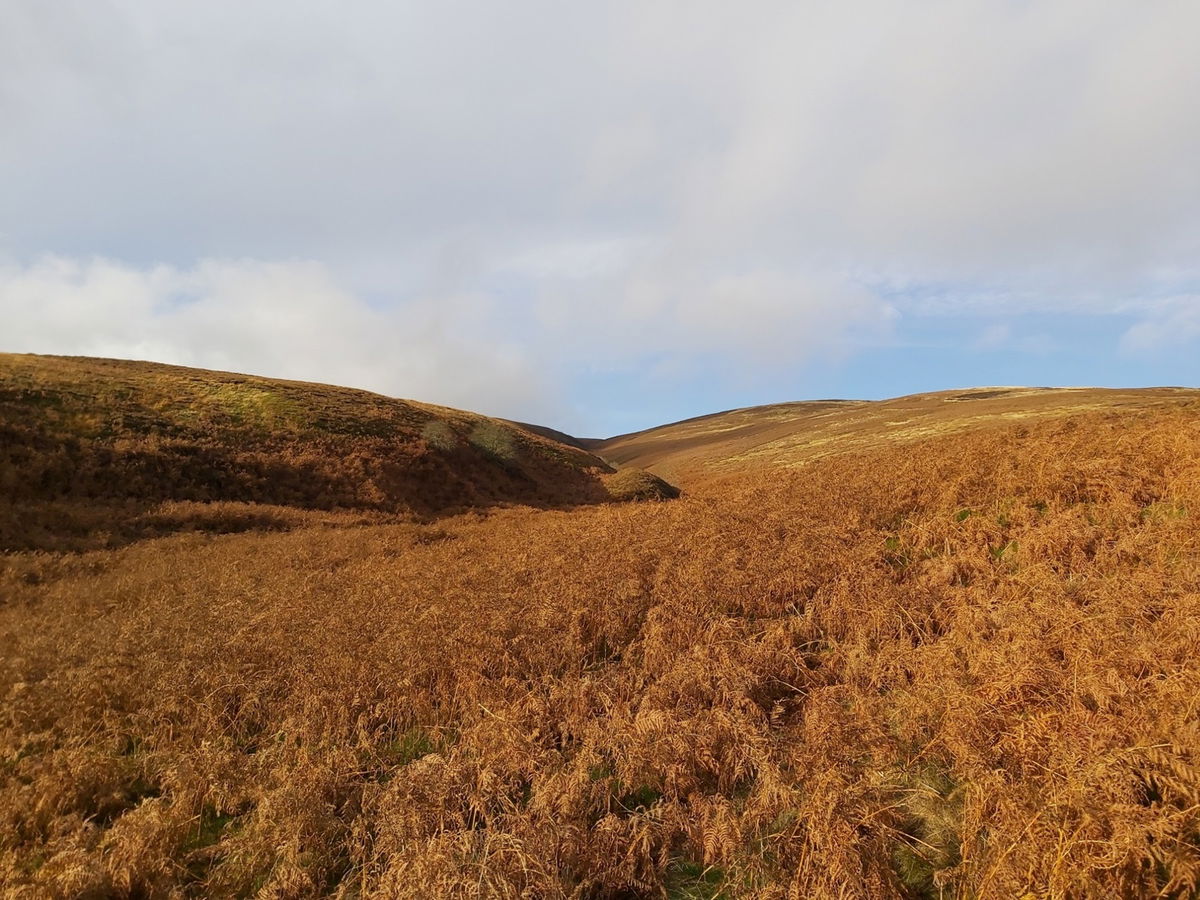
A beautiful day down in the valley so I start my ascent up to the top of Broadhope Hill (517m).
A quick look back over the valley and you can see Langlee Crags, Housey Crags and Long Crags on the opposite peak.
As I continue up, I find there is a nearby crag so I head up to investigate.
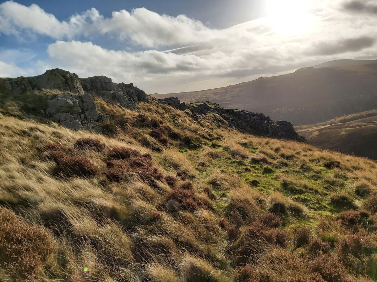
These are the Hawsen Crags and sit between Broadhope Hill and Cold Law.
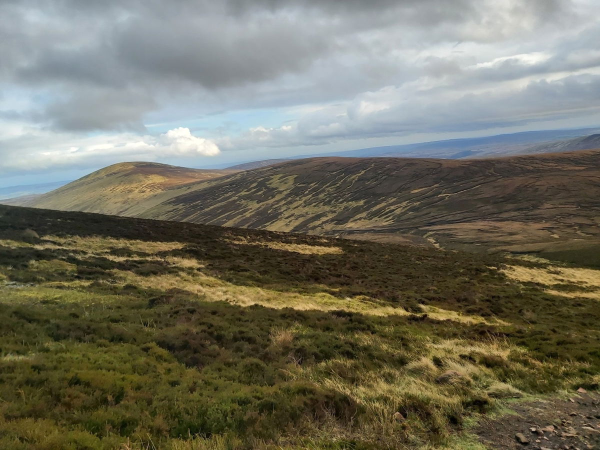
Just past the crags I get our first glimpse of Broadhope Hill in the distance. It doesn't look too high, mainly because I have done a fair chunk of climbing to get to the crags.
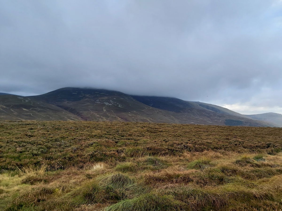
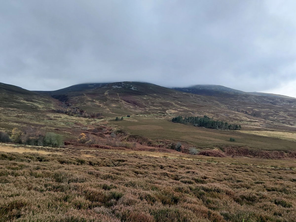
Before I set up I take a little look around the surrounding. To the left is Hedgehope Hill which is the final ascent, with a bit of cloud forming on top.
Then the long flat Cheviot in the distance which already has its cloud cover. Fingers crossed it clears before I get there.
Reached the top of Broadhope Hill and it's getting a bit blustery now. At least it's not raining this time. Just ahead is Preston Hill.
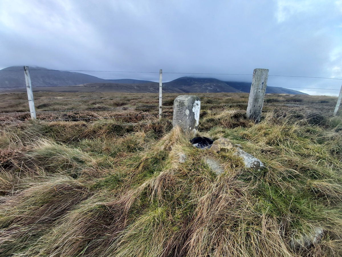
Found a little boundary stone on the way up.
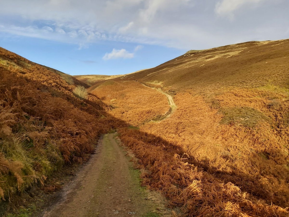
Up Preston Hill (526m) with a bit of zig zagging and then retraced my steps and then back down in the valley.
Gulp! That cloud cover looks like it's setting in.
It looks nice over there, so hopefully that weather will arrive soon. Amazing views everywhere you look.
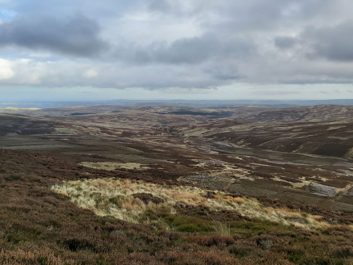
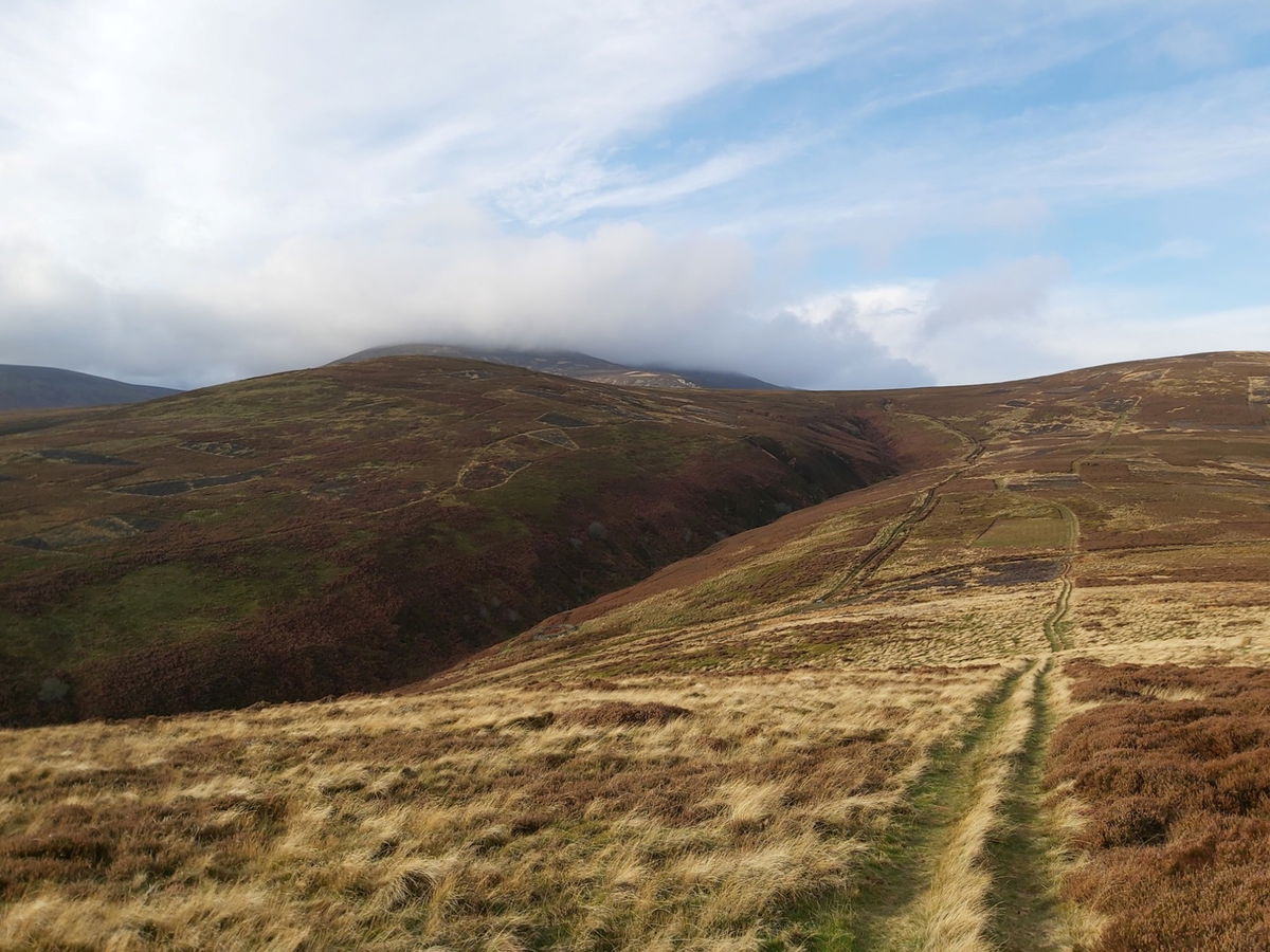
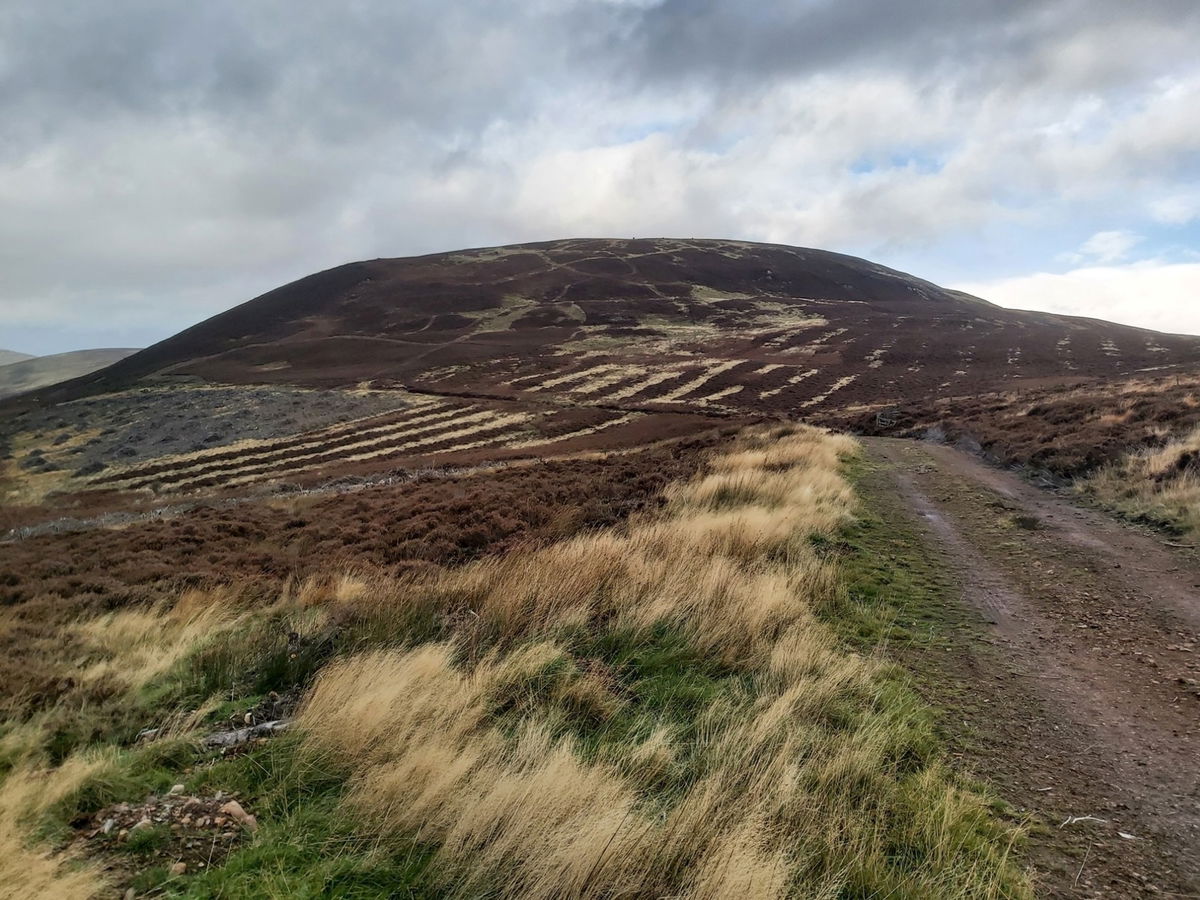
A final wave good bye to Preston Hill and then it's on to Scald Hill as I approach the Cheviot.
Weather is lovely down here, but am not liking the look higher up as that is where I am heading next.
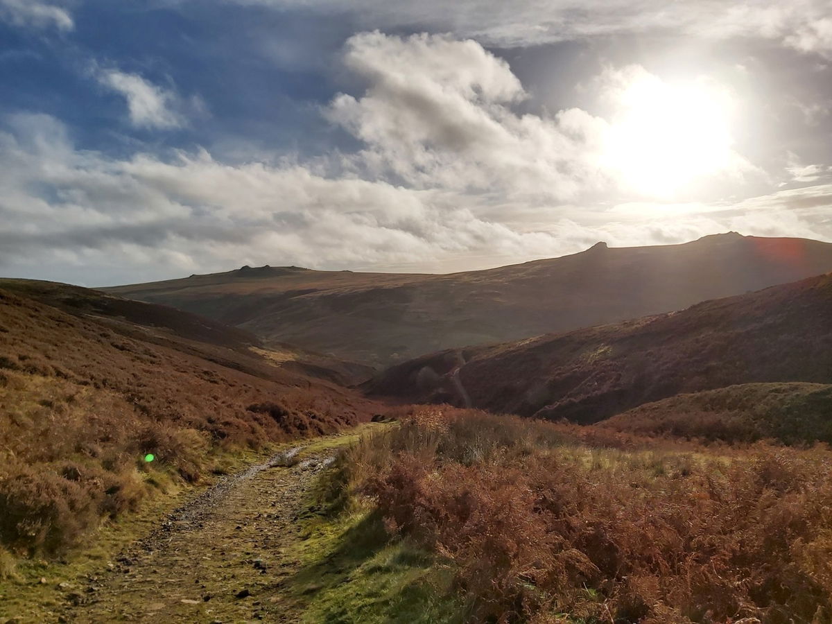
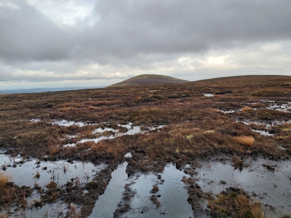
Heading towards Scald Hill I get my first proper look at Hedgehope Hill. Sitting at 714m it is pretty much 100m lower than the Cheviot Summit which means shortly I will be heading up 100m higher than that peak!
Ascending Scald Hill (549m), the inevitable happened. The heavens opened and in no uncertain terms - it tipped it down! Add that to the wind getting stronger as I get higher and it's going to be a joyous ascent. Full wets on and I continue up. As they say, there is no bad weather, only bad clothing.
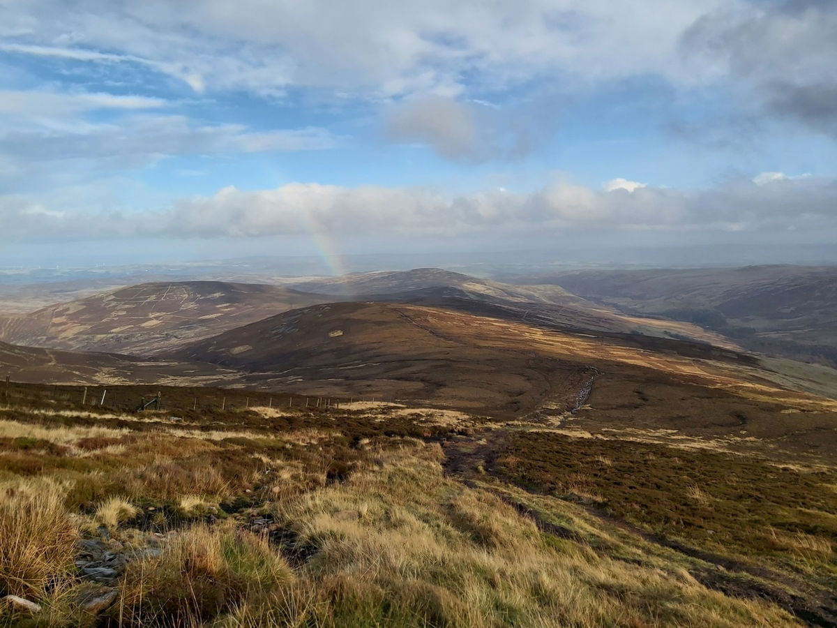
As I head towards the Cheviot, I have a little look behind and Scald Hill is now mocking me with a beautiful rainbow.
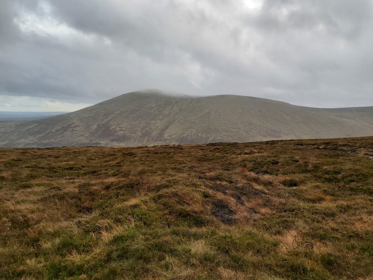
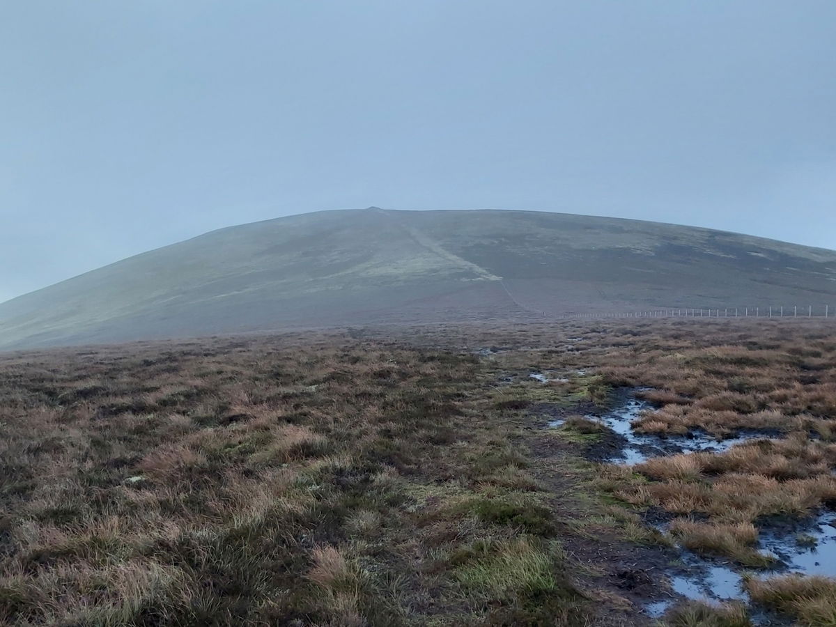
At least Hedgehope Hill is starting to clear. I will be heading up over the Cheviot and then doing a loop here as my last peak.
I am going to admit it. That ascent from Scald Hill to the Cheviot was brutal. The rain and wind didn't help, but climbing 250m over 1.5km had my legs and lungs screaming a bit.
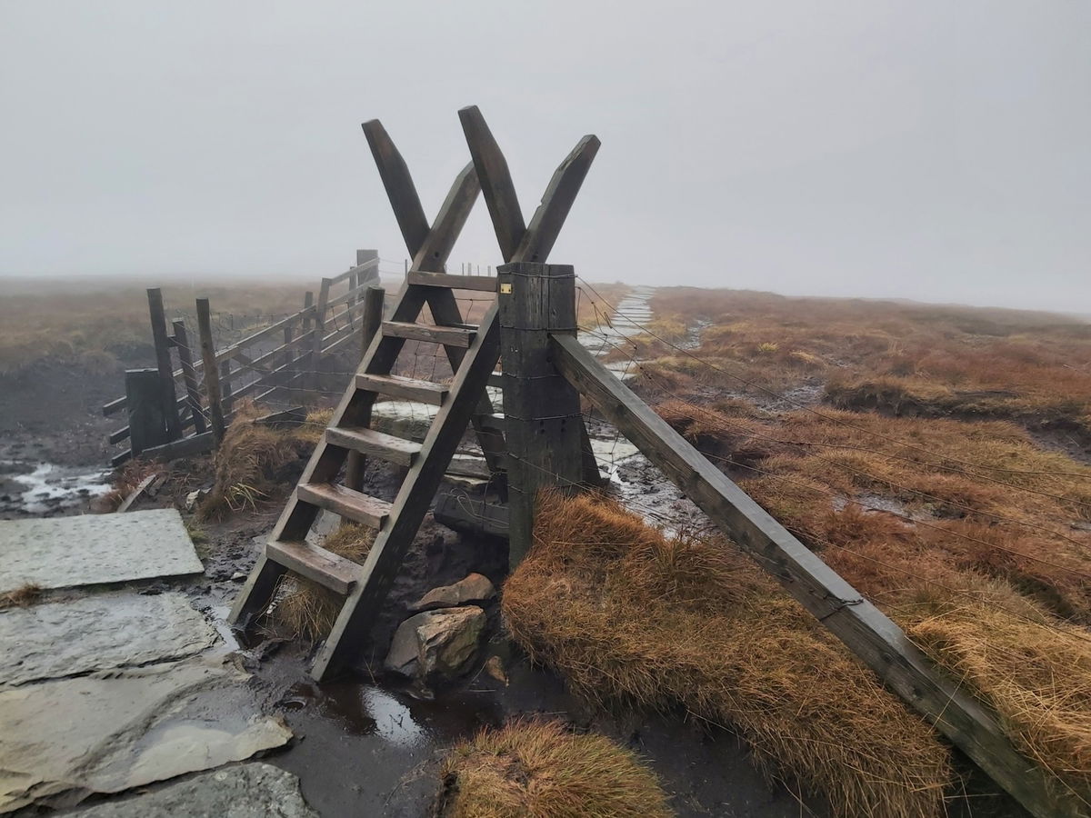
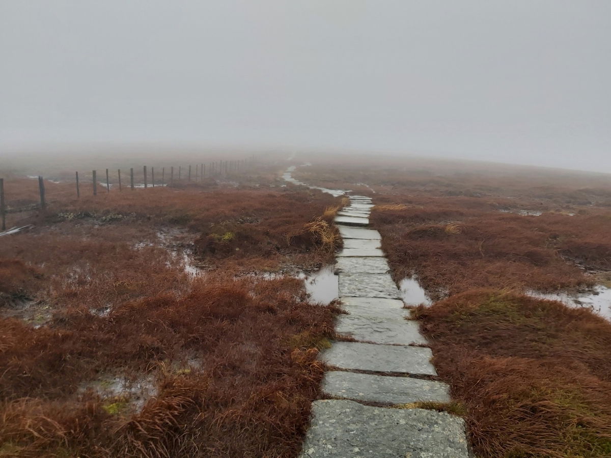
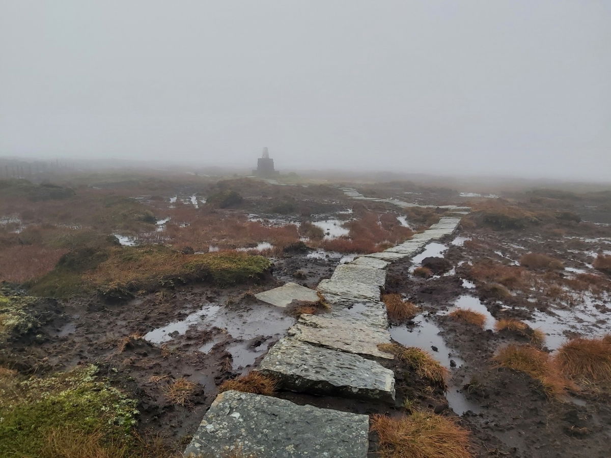
Finally made it onto the Cheviot pavement. The summit is immensely boggy, but fortunately some amazing people have laid a pavement to help traverse it. I wouldn't have fancied carrying all them up.
At this point I am about halfway around and the weather is at its absolute worst. It's blowing a hoolie up here that I was nearly swept off the pavement a few times. I am having to hold onto my hood as the rain is also lashing down.
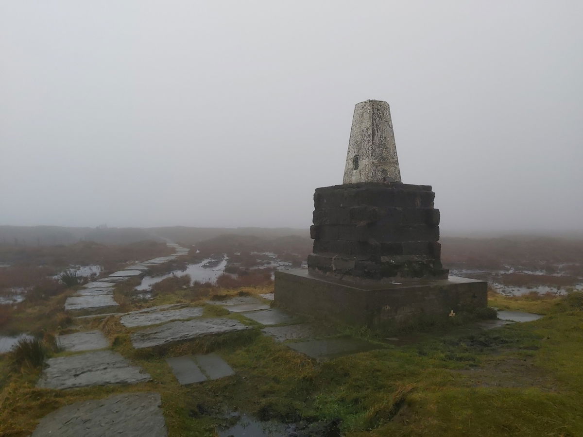
Then like a monster emerging from the shadows, the Cheviot Summit trig point appears through the mist.
With the weather not looking like it will ease, I shelter next to the trig point for a quick lunch break. I must admit being up here on my own, in this weather and isolation can get bit a little foreboding.
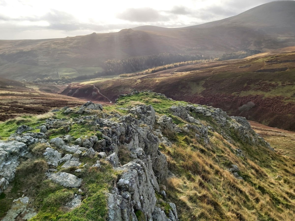
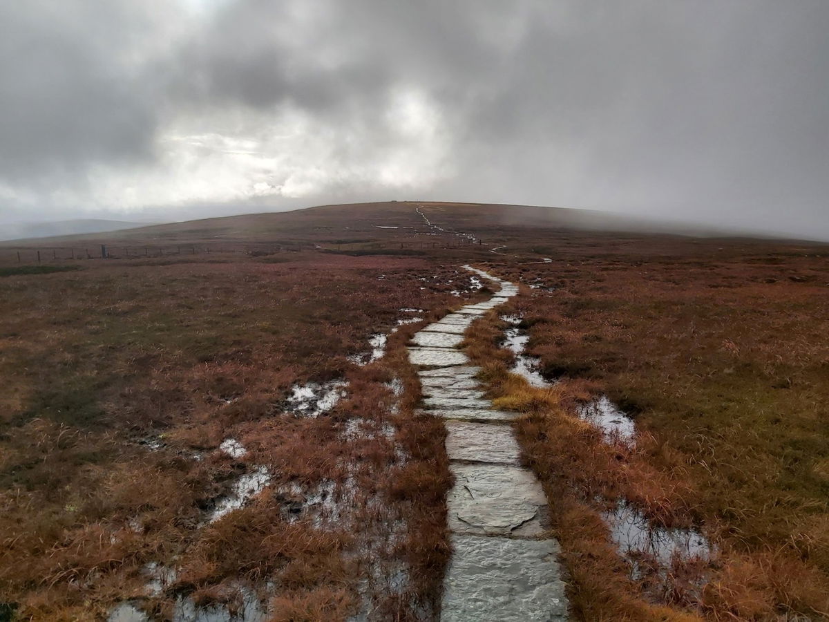
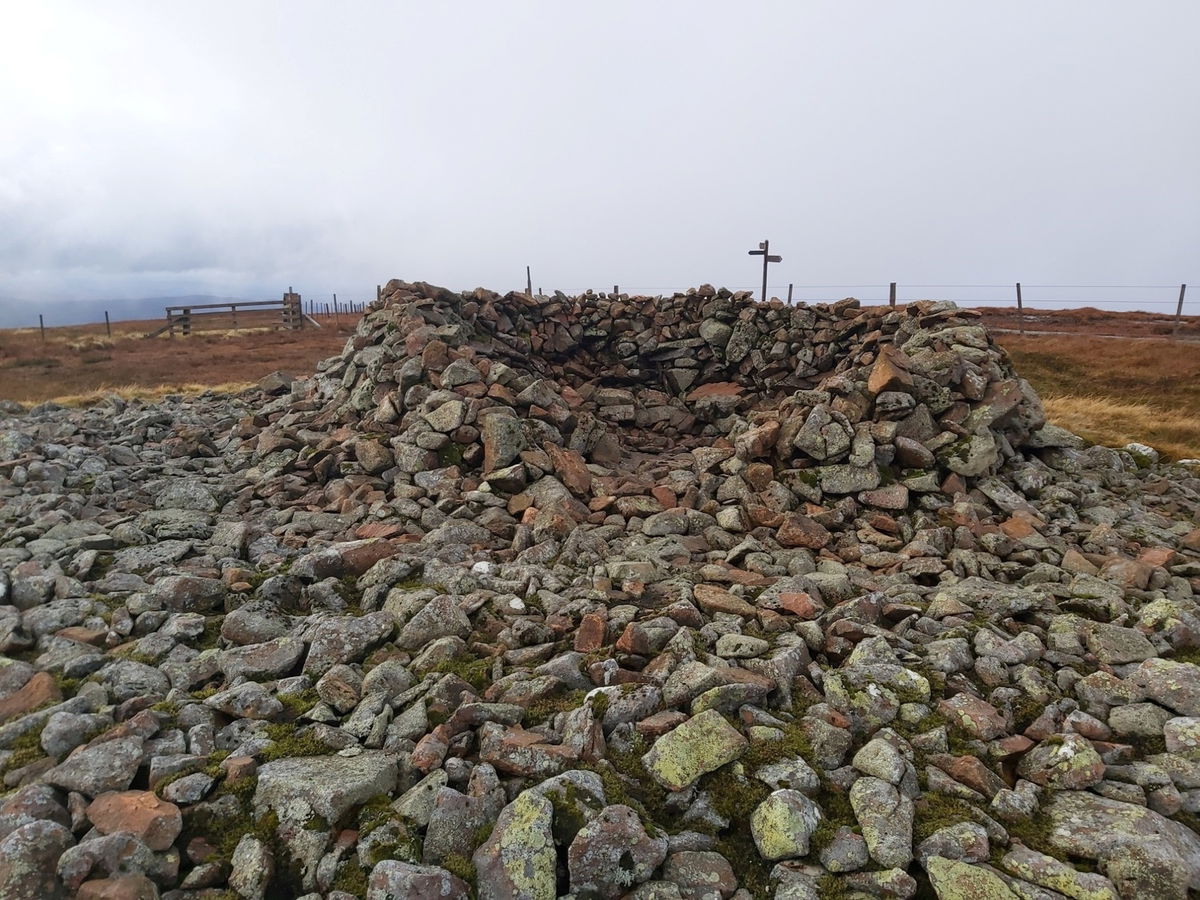
Three minutes later and I am back on the pavement and can just spy a cairn and a signpost in the distance.
This is the top of Cairn Hill (777m) and adorning it is the Scotsman's Cairn.
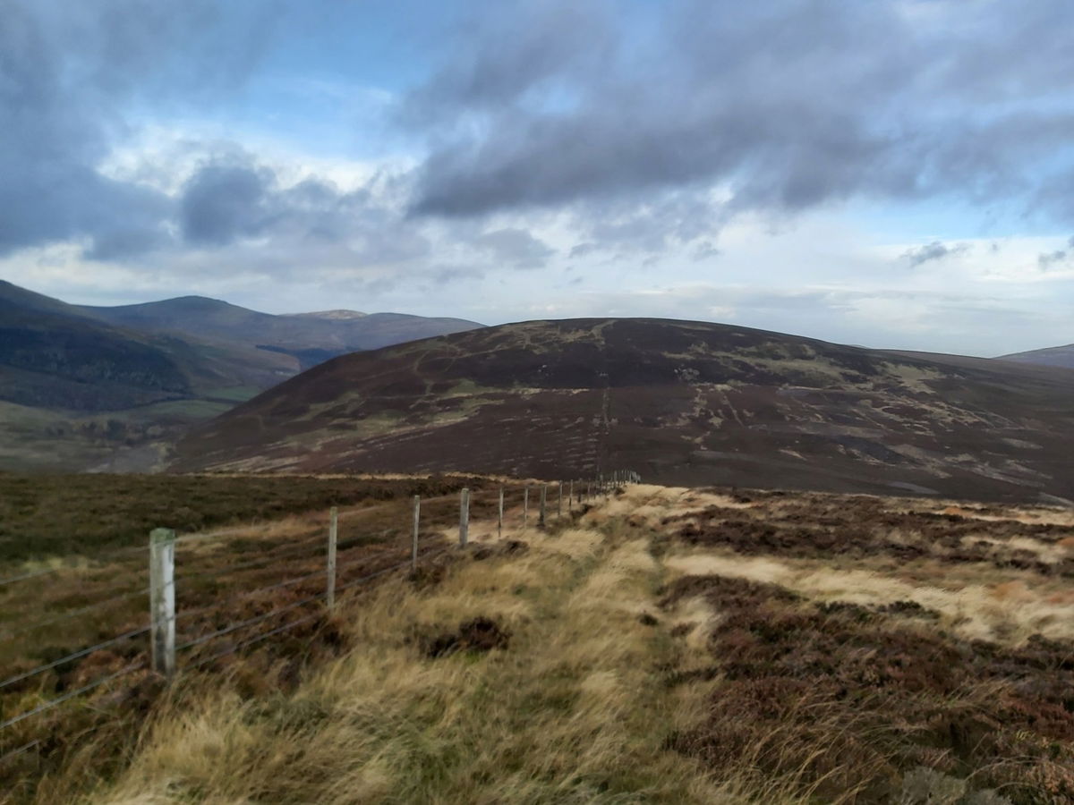
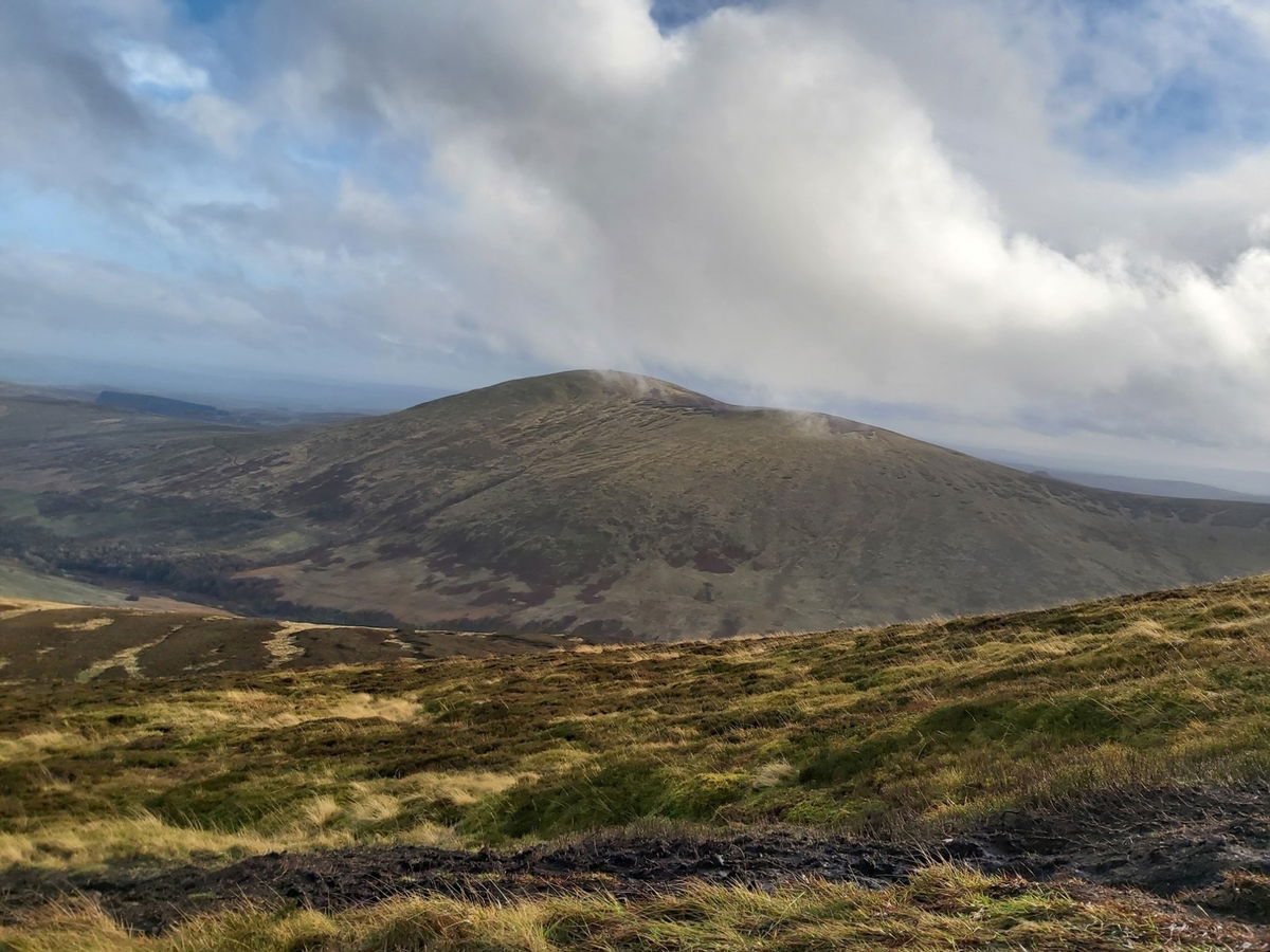
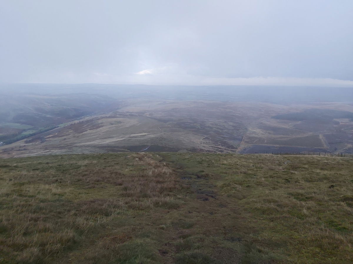
Now to find a path on the way down and then head up onto Comb Fell (on the right), which leads up to Hedgehope Hill which you can see on the far left.
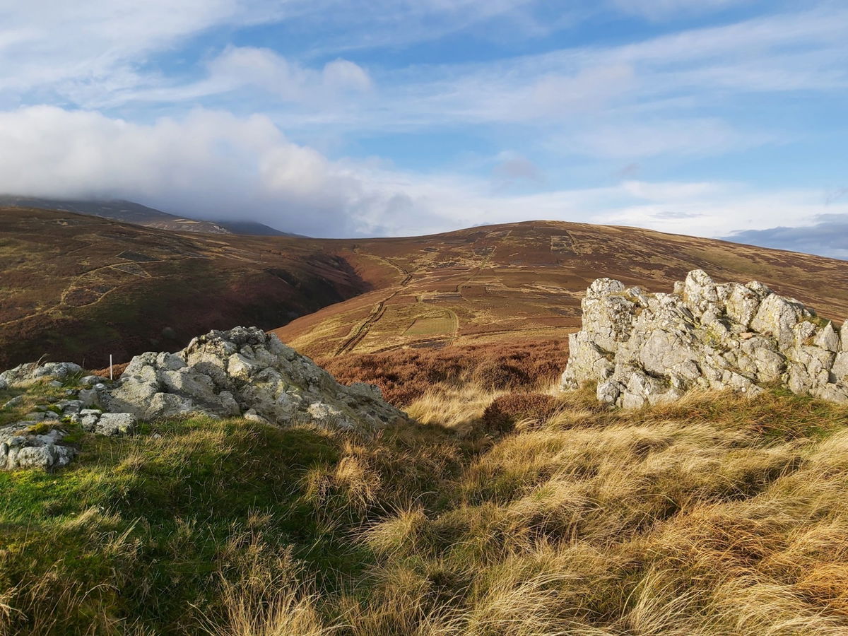
Not many photos here as I was trying to pick my way through boggy ground without falling over, but I have now reached Comb Fell (652m). And yep, that grim terrain was pretty much all the way from here to Hedgehope Hill. This was probably the worst part of the whole walk, having to navigate through boggy ground and pools. I lost my foot quite a few times under the mud thinking it was solid ground.
It also didn't help that it reminded me of the Dead Marshes from Lord Of The Rings which housed the dead from battles long ago.
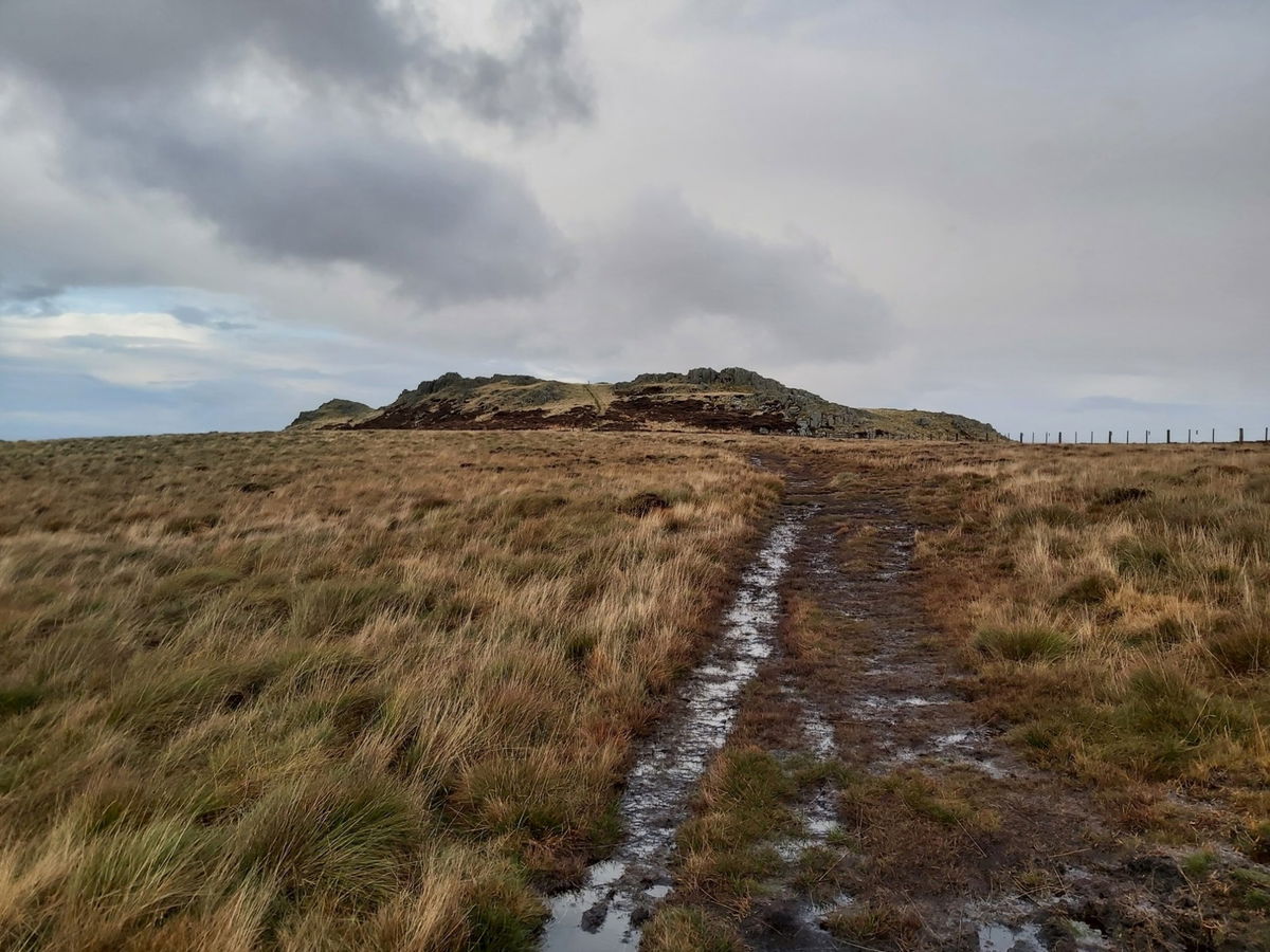
Fortunately the rain had eased, although the wind had not and I find a solid track to follow.

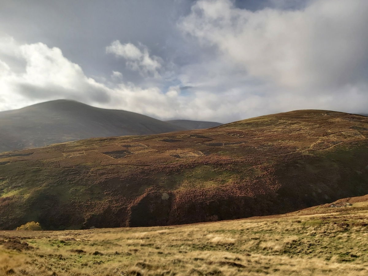
Just two more little humps and then I have completed my final ascent. Halfway up Hedgehope Hill and you can just make out a couple of crags which form the southern part of the hill and are called Little Standrop and Great Standrop. If you have visited Linhope Spout in Ingram Valley, then you will see these two huge crags as you approach the waterfall.
First half of the hill done, just a final bit to go. My legs are definitely hurting now.
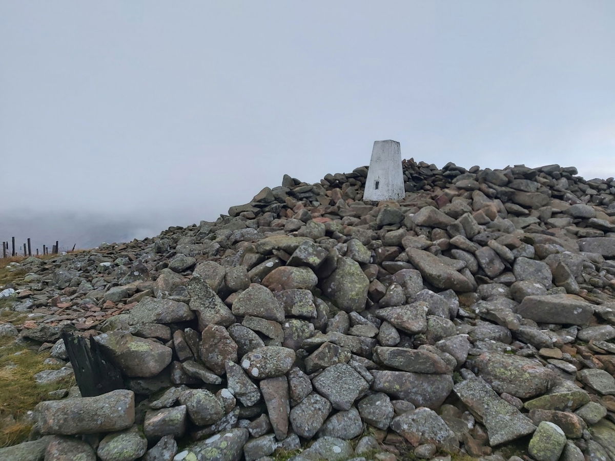
And that's it, I've reached the top of Hedgehope Hill (714m)! It is like a hurricane up here and it's difficult to get a photo without being blown over. Hedgehope Hill trig point also bagged.
The descent is ruthless and I drop around 300m over 1km. My knees are not thanking me at the moment!
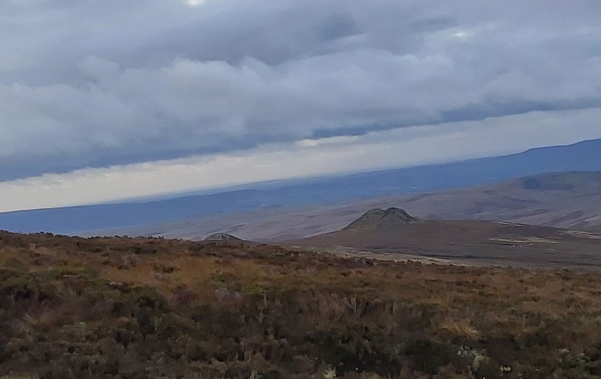
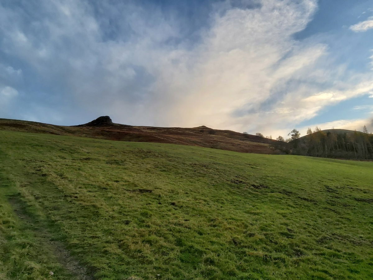
Finally down from the mountain, but still quite high up as I spy my car way down in the valley. The last part of the hike takes me to Long Crags which I saw at the start of the walk.
I then headed over to Housey Crags, but it was at this point that my phone decided to die so I couldn't get a photo. I got a bit of charge in it during the descent and managed to take a photo from lower down.
Another kilometre down the bank and I am back at the car, feet soaking, legs sore and looking a bit windswept, but thoroughly enjoyed another glorious hike in the Cheviots. Just under 23km in distance and nearly 1.2km in climbing.
Thanks for staying to the end of this post and hopefully this may have enticed you to visit the Cheviots or may have turned you off them completely!
I know you want to share my pain with a little 3D flyover, so here you go!
Where to Park For Cheviot and Hedgehope Hill
Where To Park For Cheviot and Hedgehope Hill?
What three words
Plenty of parking in a big grass verge just off the road.
Fabulous Places On This Walk
Discover what fabulous places you will find on this walk - Cheviot and Hedgehope Hill.

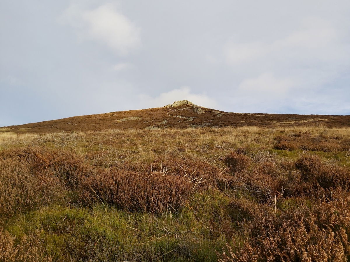
Hedgehope Hill Trig Point
Trig Point The Cheviots NorthumberlandThe trig point sitting on top of Hedgehope Hill (714m).

Cheviot Summit Trig Point
Trig Point The Cheviots NorthumberlandThe trig point sitting on top of The Cheviot Summit (815m).
Contributed by Simon Hawkins
Thanks for checking out this place on the Fabulous North! I do enjoy a wander out in to the countryside trying to find hidden gems that not many people know about. You can't beat a rogue pele tower up a remote hill, a mysterious stone circle or a stunning waterfall secluded in a forest.
More Walks from Simon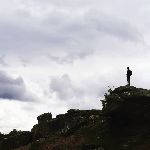
More Places In The Cheviots
Find more fabulous places in The Cheviots, Northumberland and if you know of a place we haven't listed, then let us know.

King's Seat Trig Point
Trig Point The Cheviots NorthumberlandThe trig point sitting on King's Seat on the border ridge (531m).

Green Law Waterfall
Waterfall The Cheviots NorthumberlandA beautiful little waterfall located at the bottom of Green Law hill in the Cheviots.

Bloodybush Edge Trig Point
Trig Point The Cheviots NorthumberlandThe trig point sitting on top of Bloodybush Edge (610m).

Find Us On Facebook
We post all our new places daily on our Facebook Groups page, so join the group today and be notified when we add a new place.
Join Our Facebook Group