Cunyan Crags, Langleeford Crags, Hedgehope And Great Standrop Walk
Ingram Valley, Northumberland
A hike from Ingram Valley up to Cunyan Crags and then round the back of Hedgehope Hill to the Langleeford crags, before scaling the hill and then on to the Great Standrop.
Distance - 24km (15 miles)
Ascent - 989m
Duration - Approx 6 hours
Terrain - A mixture of grassy tracks, mud and heather.
Parking - Parking is off road at Hartside just before you enter Linhope Village. There are loos at at Bulby's Wood car park if needed. View Parking Map
View Route On OS Map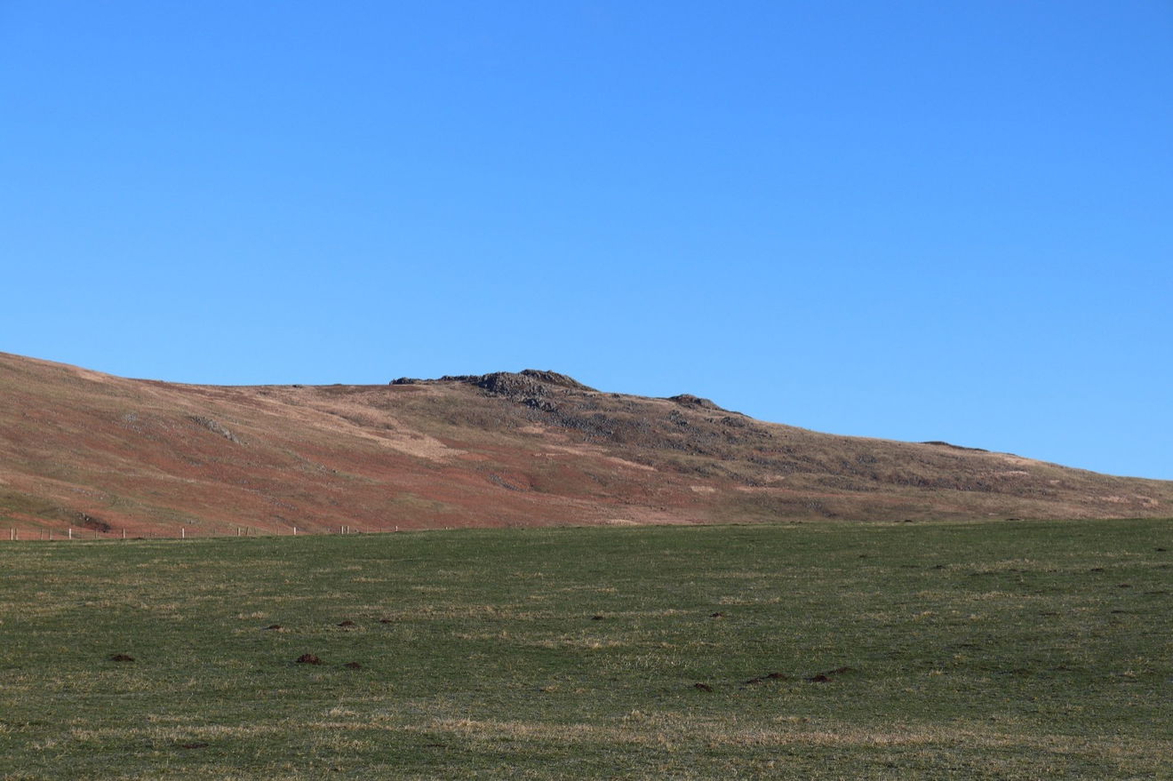
I've scaled Hedgehope Hill a few times. First from Comb Fell, then from Dunmoor Hill, both were brutal. But the steepest attempt seems to be approaching it from the north east next to the Langleeford Crags. I also wanted to revisit the Great Standrop and get some better photos, so combined these two together and set off.
Parking at Hartside near Linhope you get an immediate view of the spectacular Cunyan Crags. Then a little look to the left and you can make out Hogdon Law with the little cairn on top.

Just as I approach Linhope Village there is a fingerpost taking me north up on to the access land and towards Cunyan Crags.
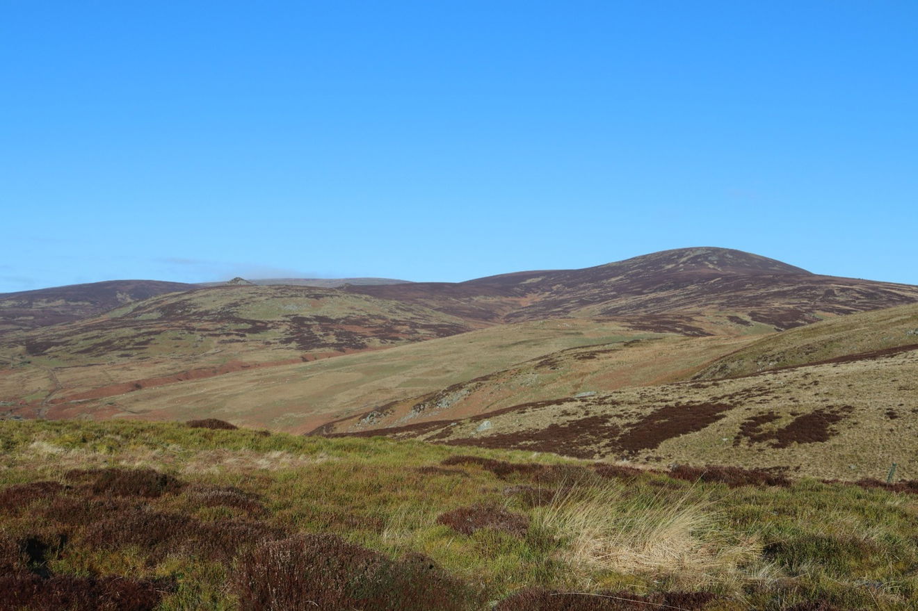
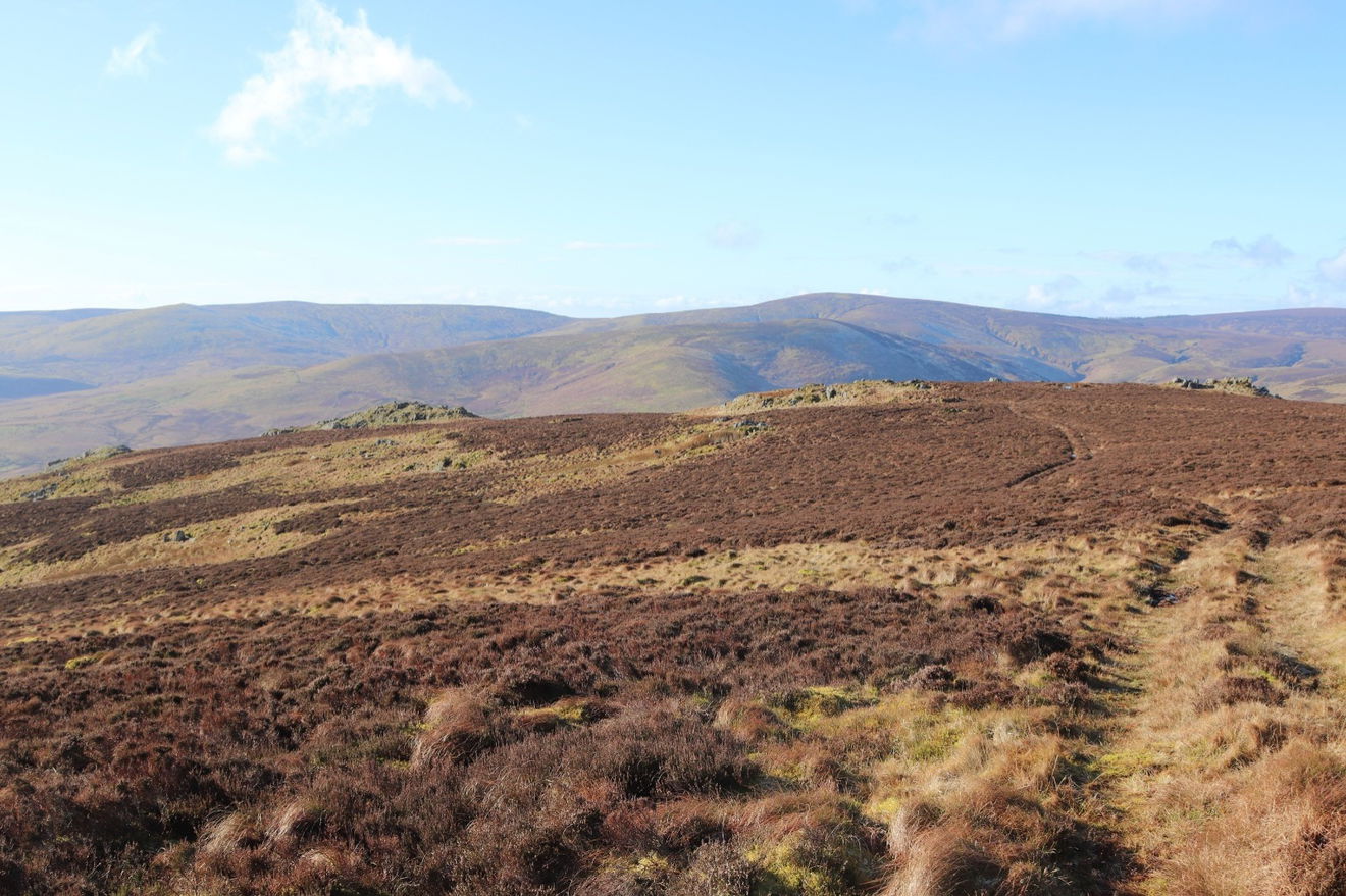
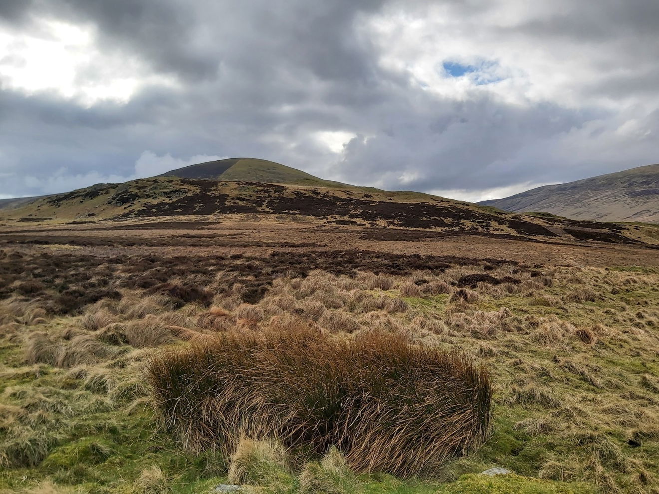
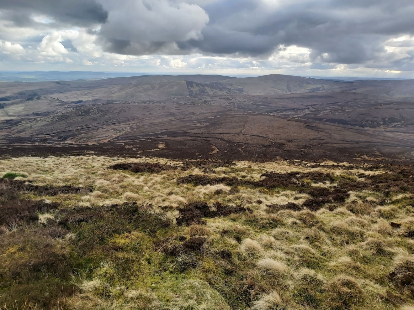
Part way up I get one of my favourite views of Hedgehope Hill, the Great Standrop and the Cheviot lurking in the distance.
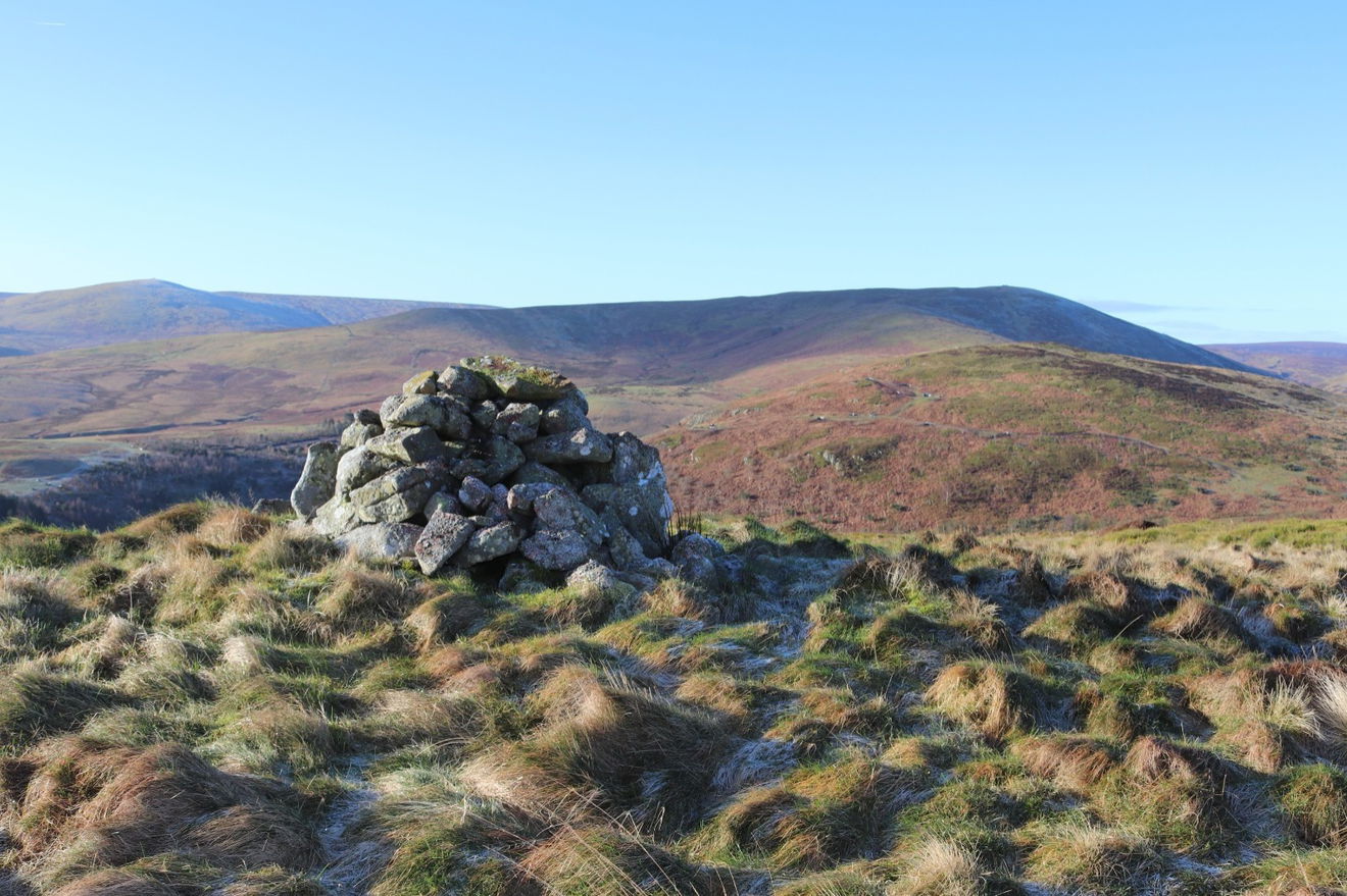
As I am looking to do the Cheviot 99 (visiting 99 hills over 300m in the Northumberland National Park), then I make a quick detour to Grieves Ash which has a little cairn on the top.
In the distance is Hogdon Law (to the left) and the bowl of Shill Moor to the right. There is a trig point on the top of Shill Moor if you are into trig bagging.
From here I now get a fab view of the Great Standrop.
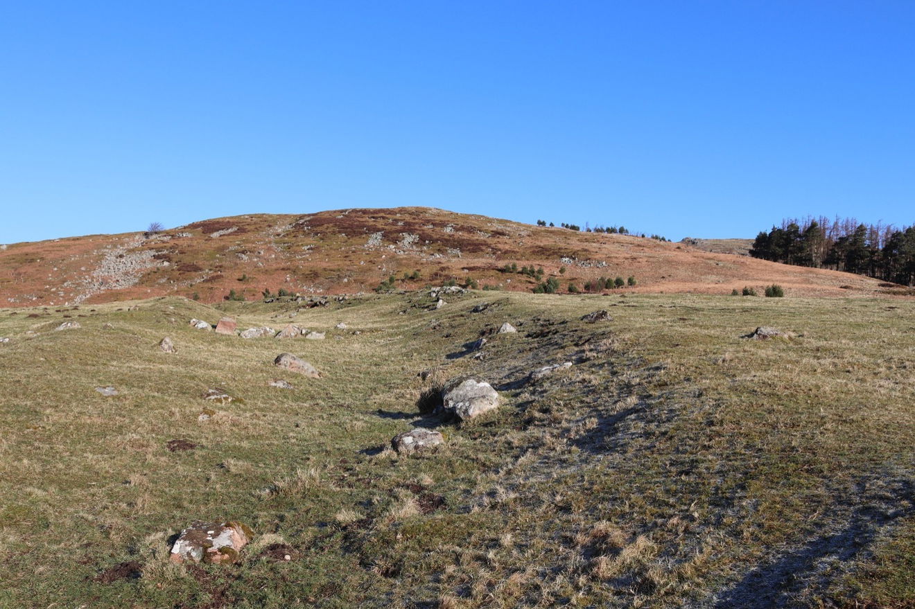
I continue my ascent and there are lots of little crags up here, but the two that are named on the map are Cat Crag and Long Crag. There is also a Long Crag on the other side of Hedgehope Hill which I visit later. The Northumberland Crag Naming Committee must have wanted to get away early that day.

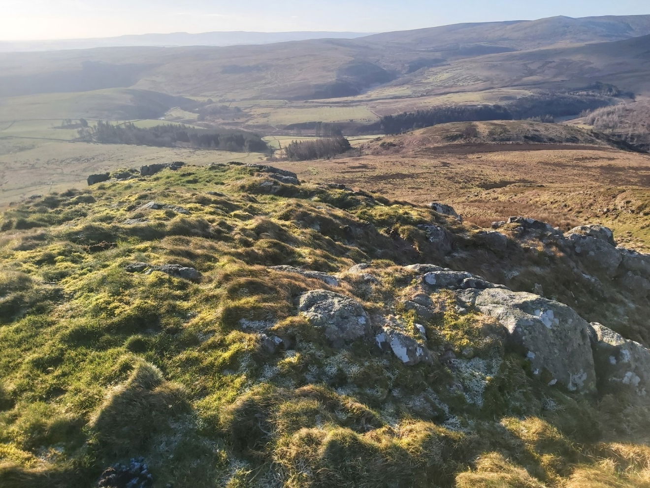
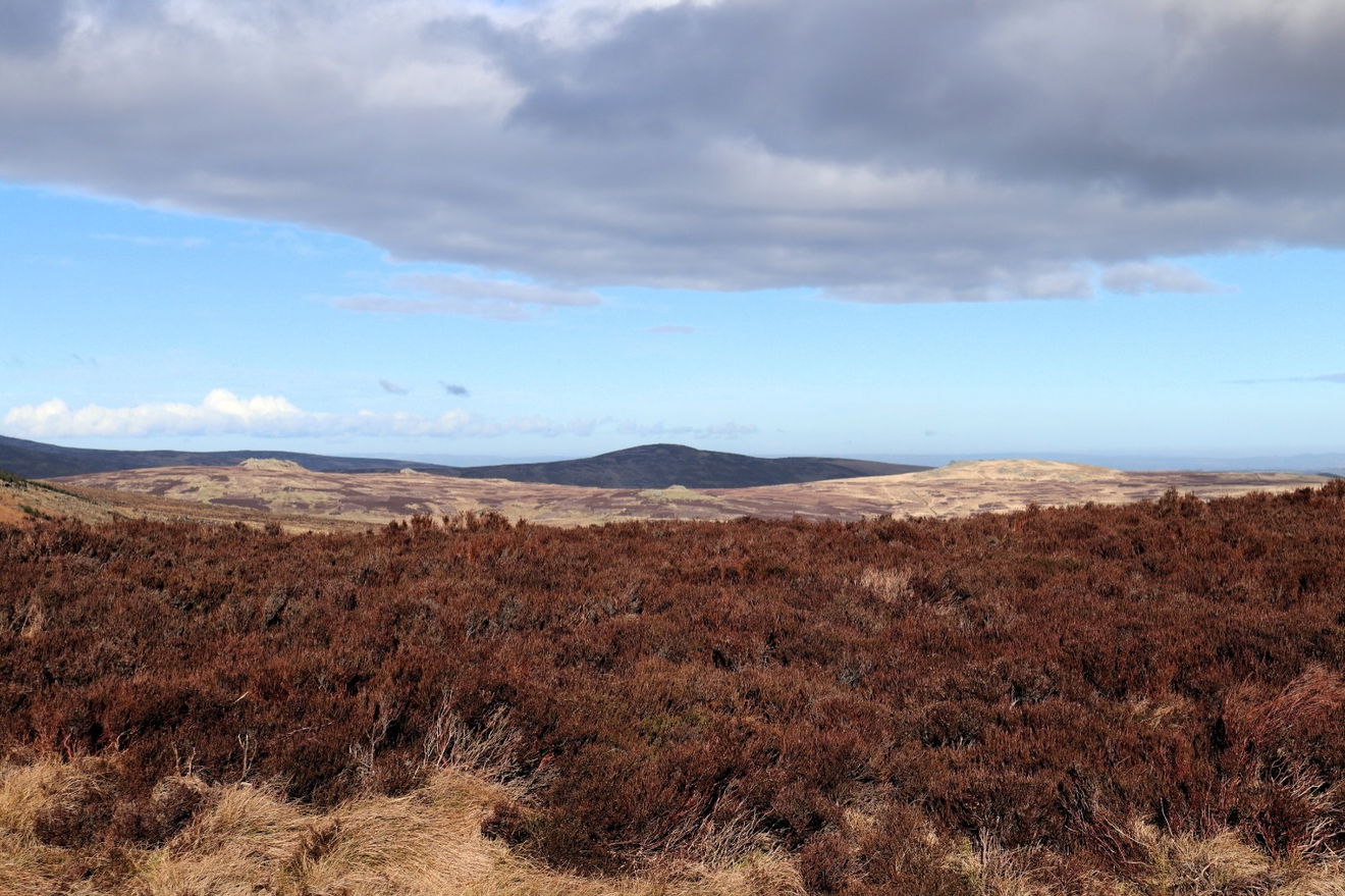
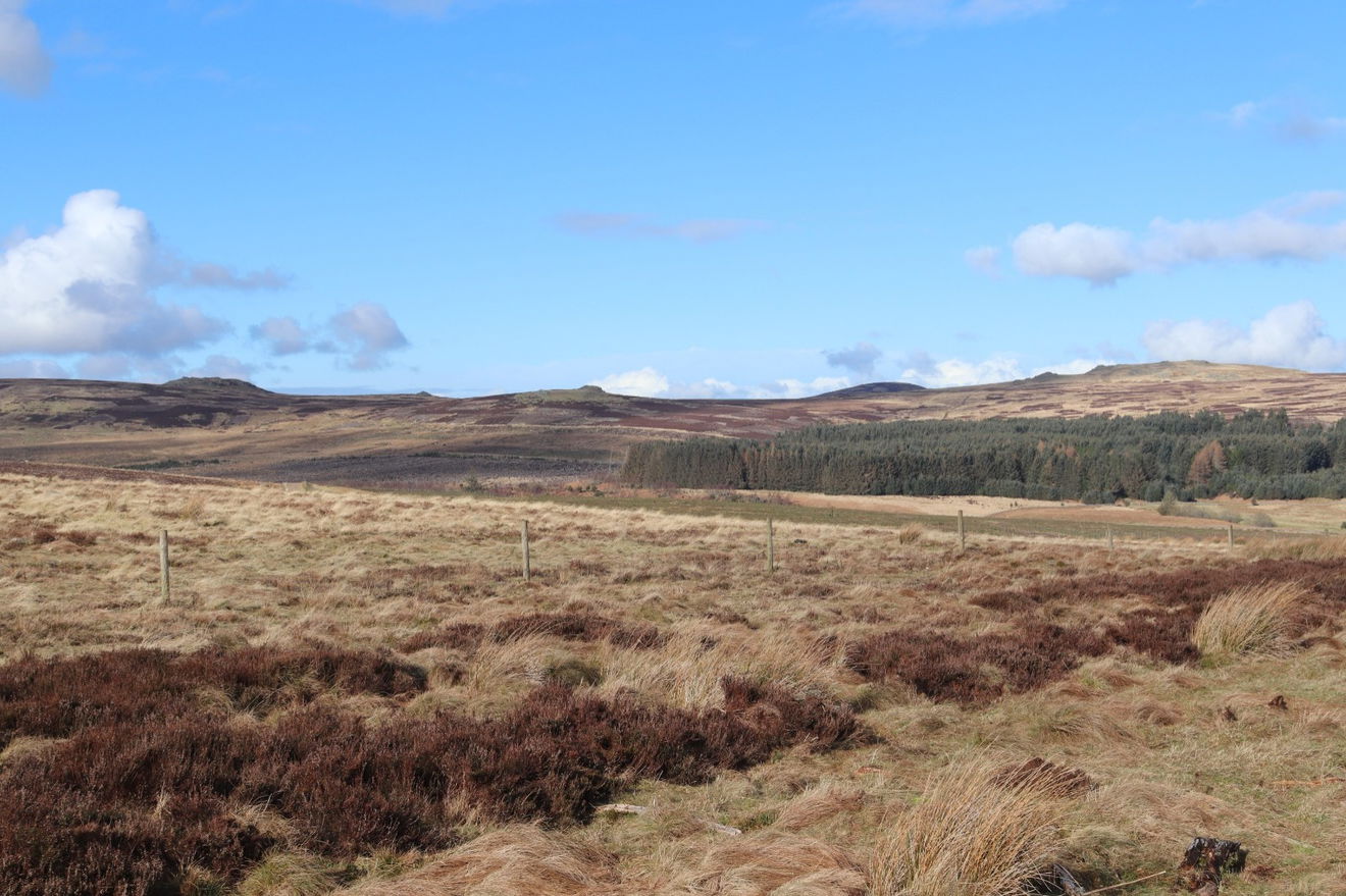
Belta views down the valley from up here.
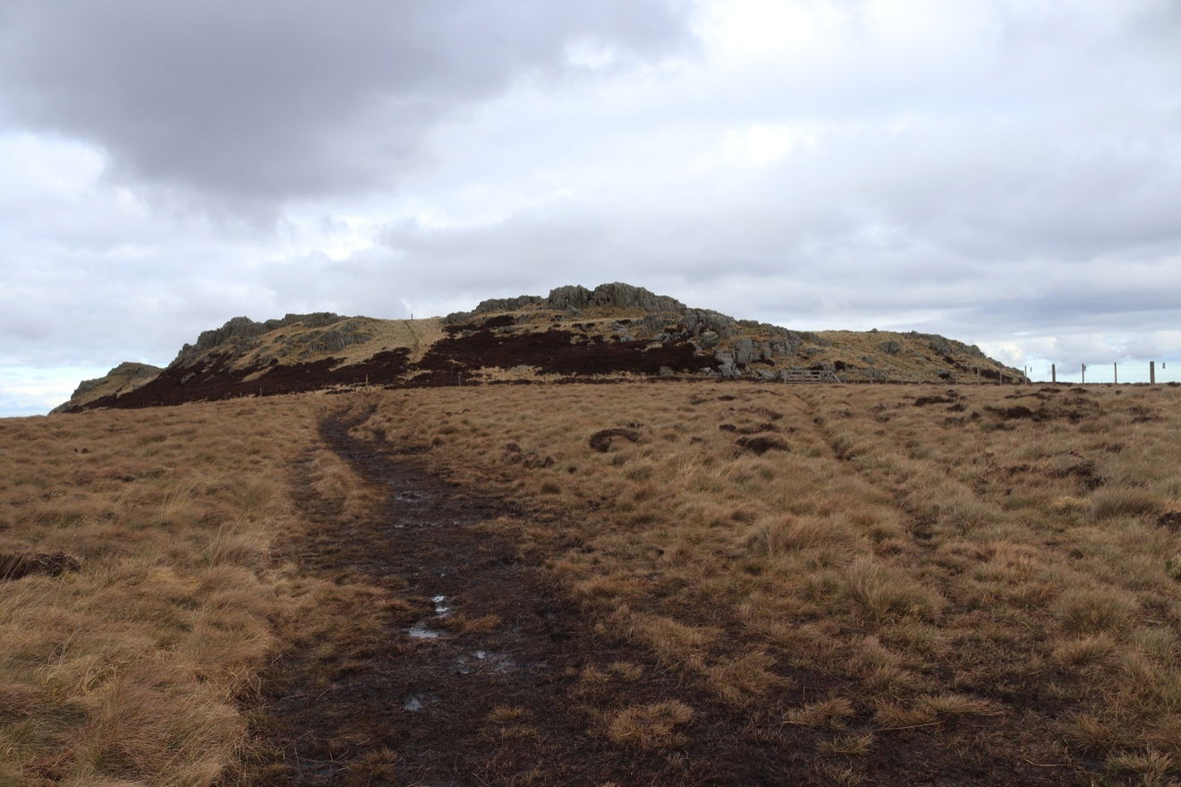
Nearly at the top now and this appears to be Cat Crag. I then climbed up Long Crag, but forgot to take a photo of it from the ground.
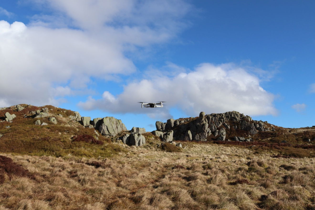
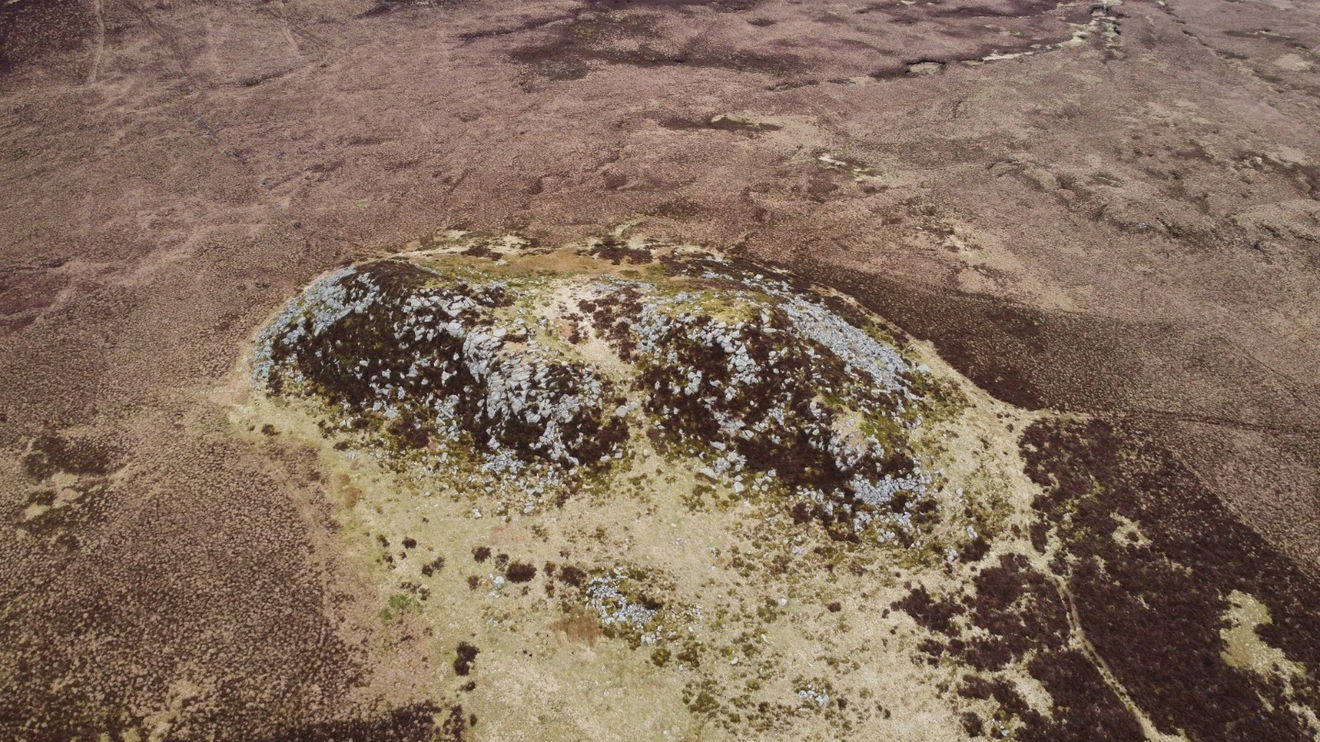
I thought it would be canny to see the crags from a different perspective, so sent Red5 drone up.
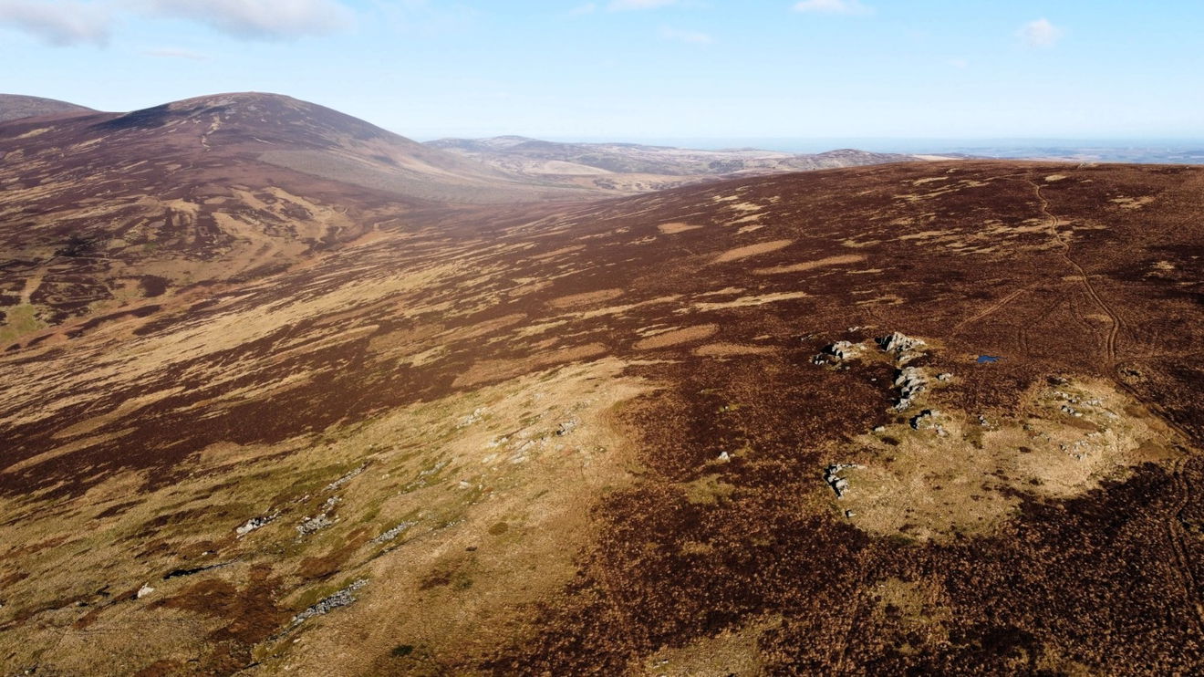
From this vantage point, I get a glorious view of Hedgehope Hill with The Cheviot in the background.
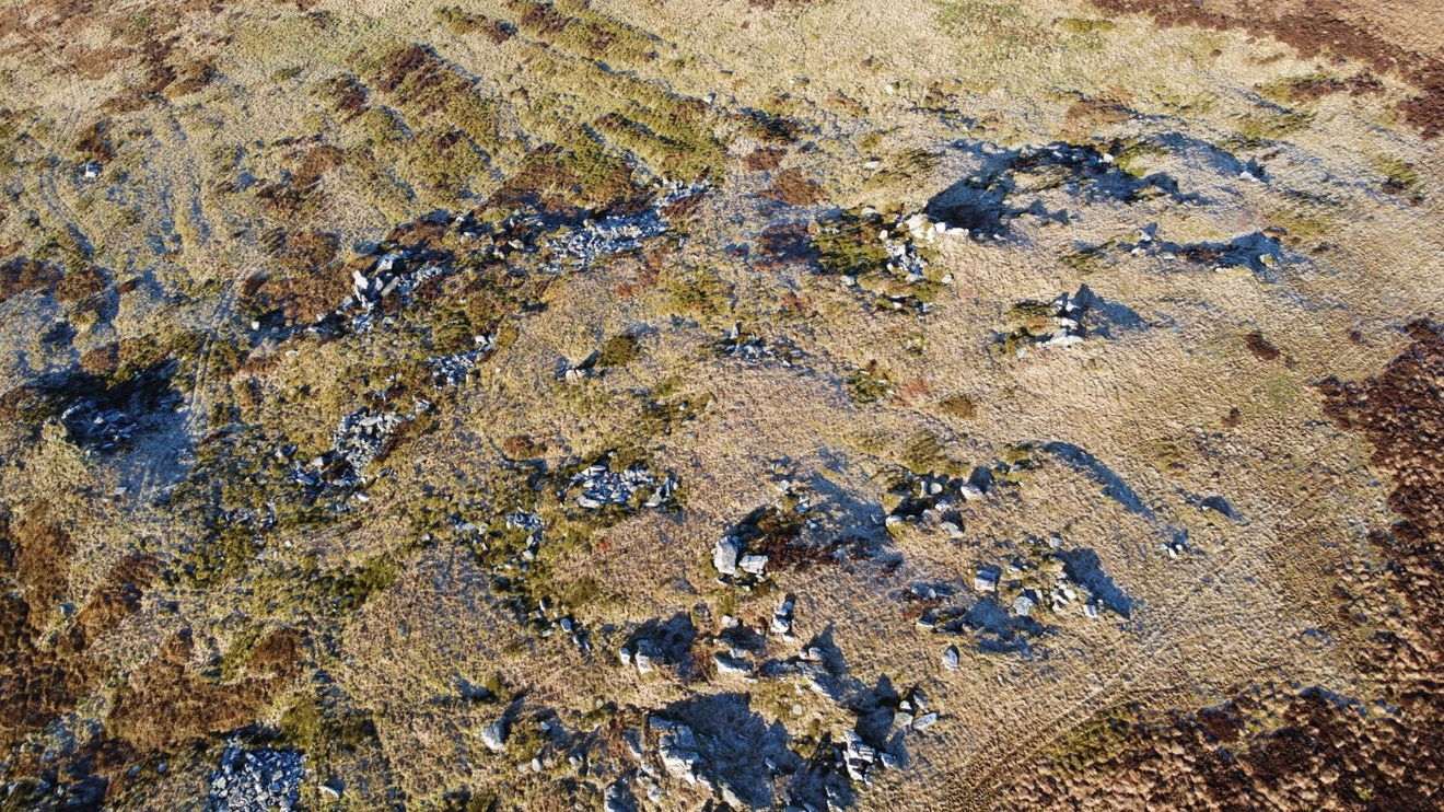
Turning Red5 around, I get a sweet photo of Cunyan Crags which I can't currently see from the ground.
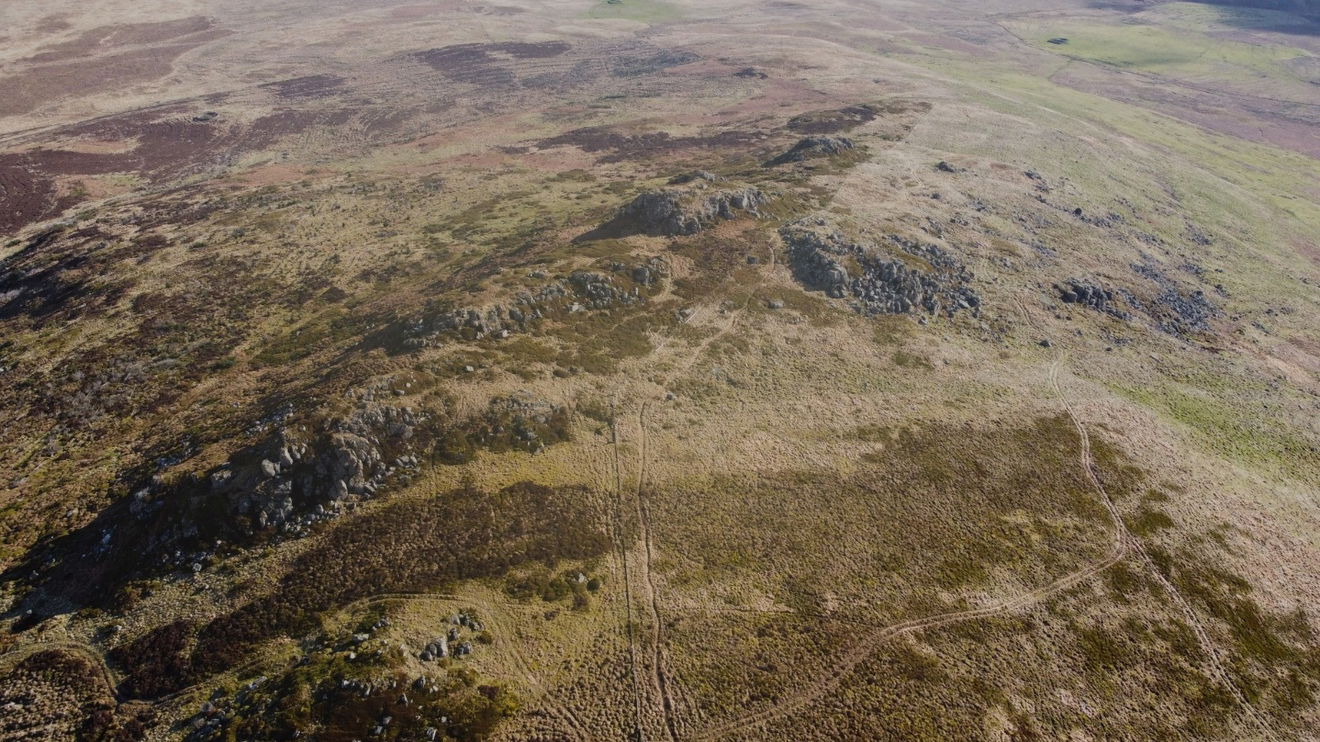
With Red5 safely back on the ground I make my way over to Cunyan Crags and remember to turn around and get a photo of Long Crag.
Five minutes later and I'm approaching Cunyan Crags and then it's a quick downhill path towards them.
Time to get Red5 out again for a closer look.
The location of the sun was not my friend today, so I didn't get the best photos. Will have to come back again in the summer. Here is a quick selection of the better ones.
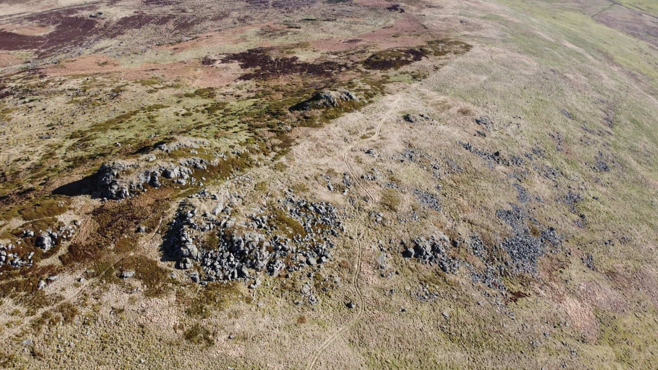
Also got a champion shot of Kitty Crags which runs down the side of Cunyan Crags.

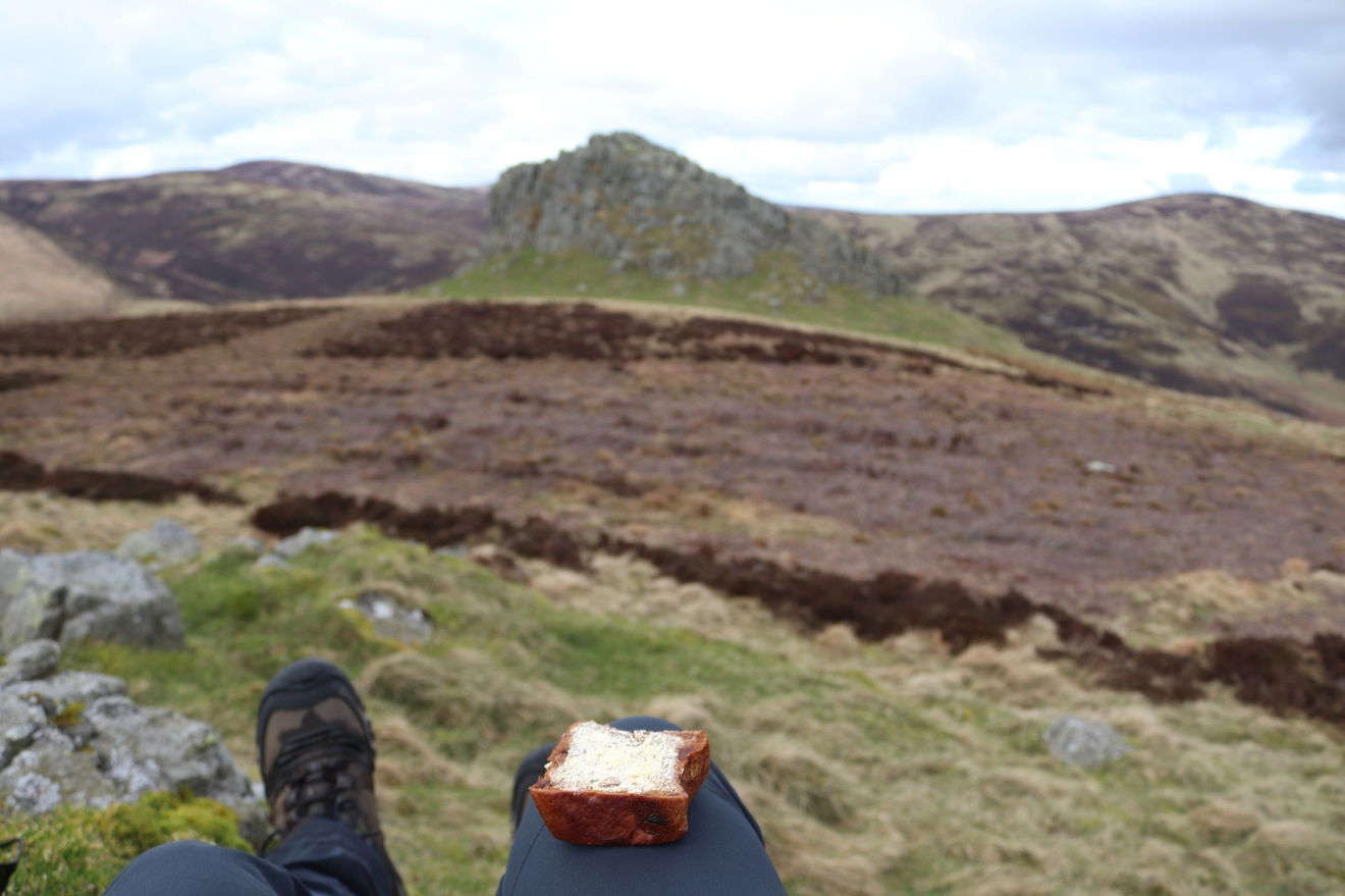
Time for a quick snack stop and as usual I break out my Soreen Fruity Malt.
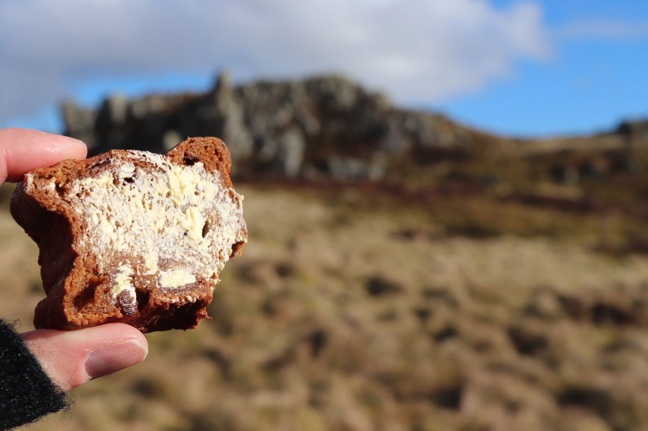
However disaster struck as just after this photo it slipped from my fingers and plummeted to the ground. Fortunately it landed on a grassy mound face up and I managed to get to it within the 5 second rule, so all was not lost!
Then it was heading down the side of Dunmoor Hill along towards the crags at Langleeford and I get my first sighting of them way in the distance.
So I trundle down from Cunyan Crags and get a few more pictures on the way.
Just at the bottom of Dunmoor Hill next to Reaveley Hill, is a little stone circle. It's not on the map, but the sheephold next to it is, if you want to find it. It appears to be more on Dunmoor Hill, so I have unofficially named it the Dunmoor Hill Stone Circle.
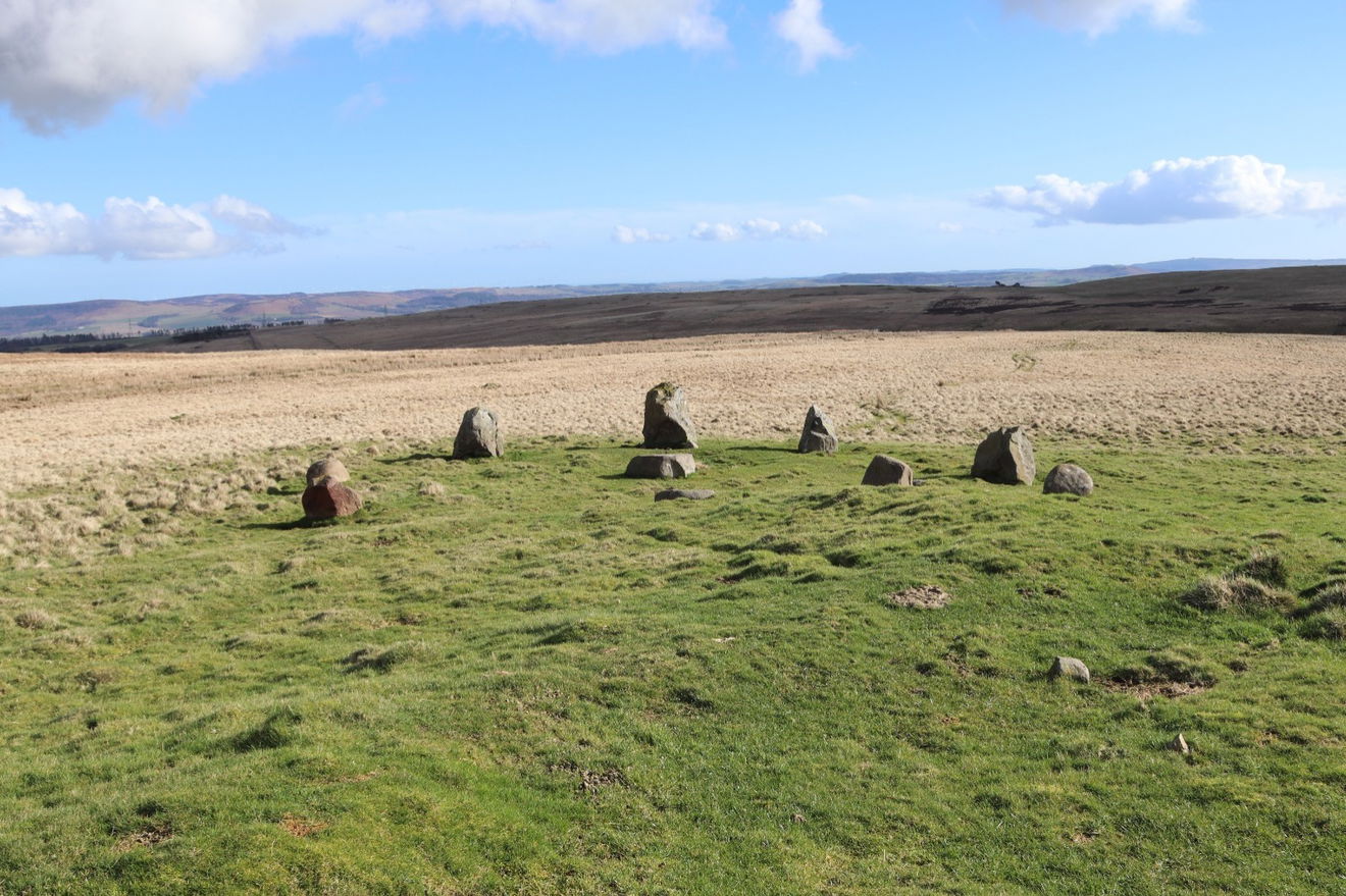
There are eight stones around the perimeter and a flat stone in the middle.
From here I head north on the permissive path down the side of Cunyan Crags. I was about 300m away when I realised I had left my walking poles at the stone circle and had to trapse back to get them. I removed this part from the map to save my blushes! Having just dropped my Fruity Malt, what more could possibly go wrong?
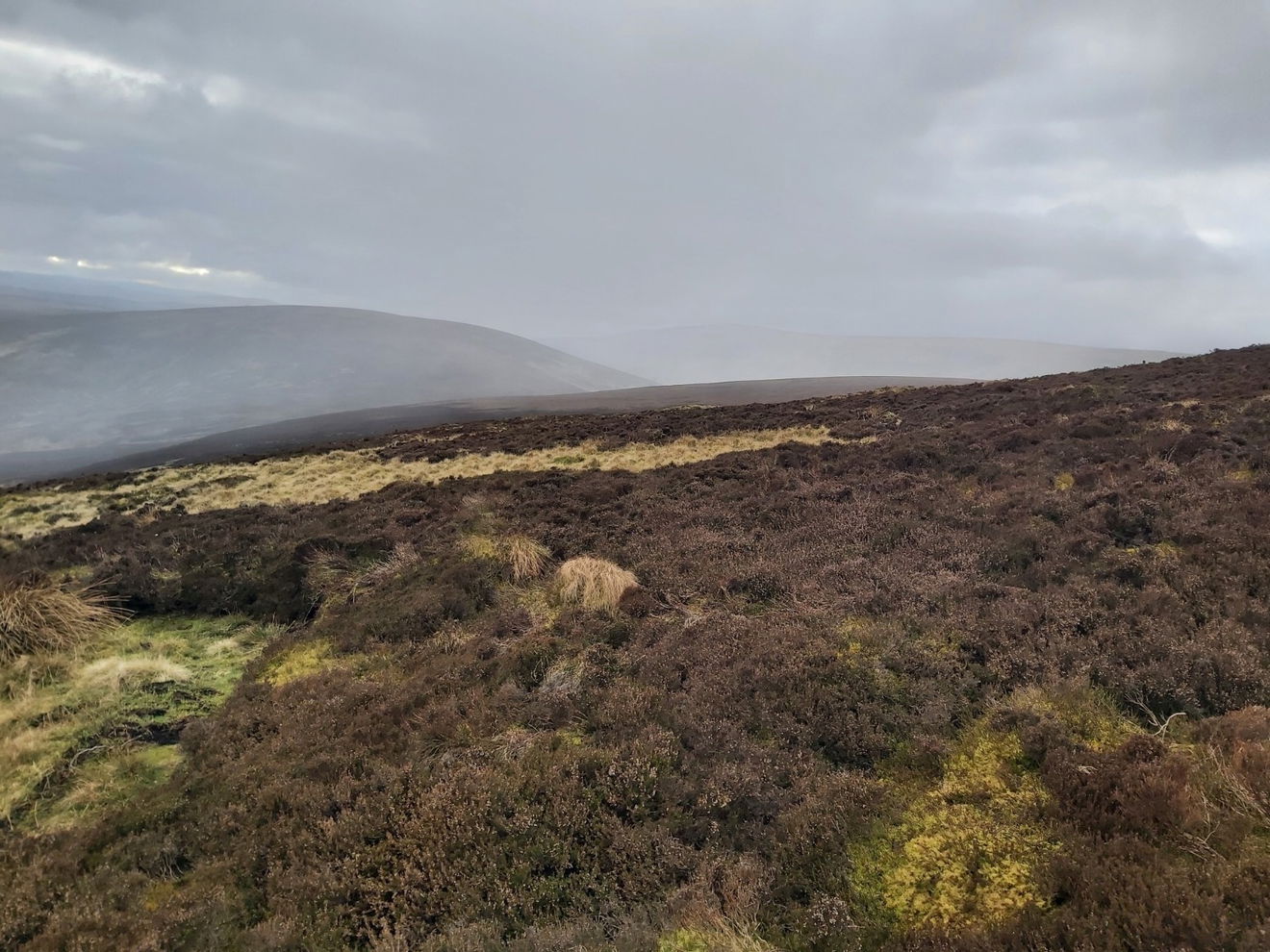
Well funny you should ask, as when I looked over to Hedgehope Hill a big grey cloud was hovering and the forecast had turned to 60% of rain. At this point I was seriously considering heading back to the car as didn't want to lug my drone and camera up Hedgehope only for it to tip it down.
However looking over to the crags at Langleeford, the weather looked canny, so I decided to wing it and continue on. What's a further 16km in the rain with a heavy backpack?
According to the map there is a permissive path which cuts off a big corner and takes you towards Threestoneburn House. As I approached the place on the map I couldn't see a clear route over the field and it looked a bit clarty and full of sheep.
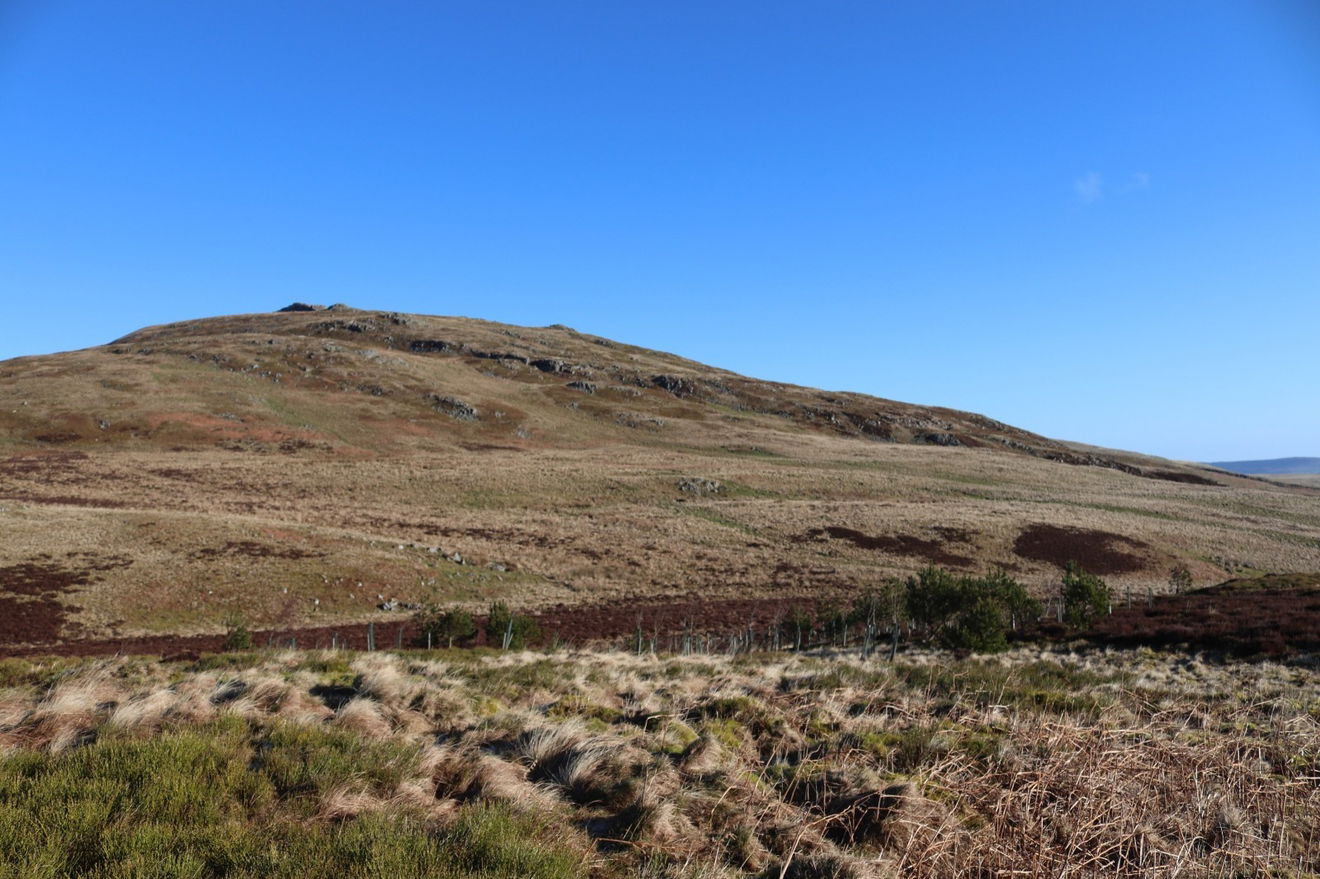
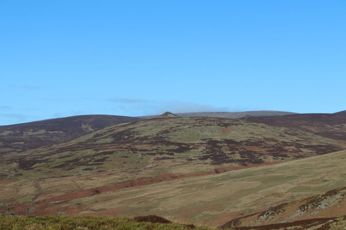
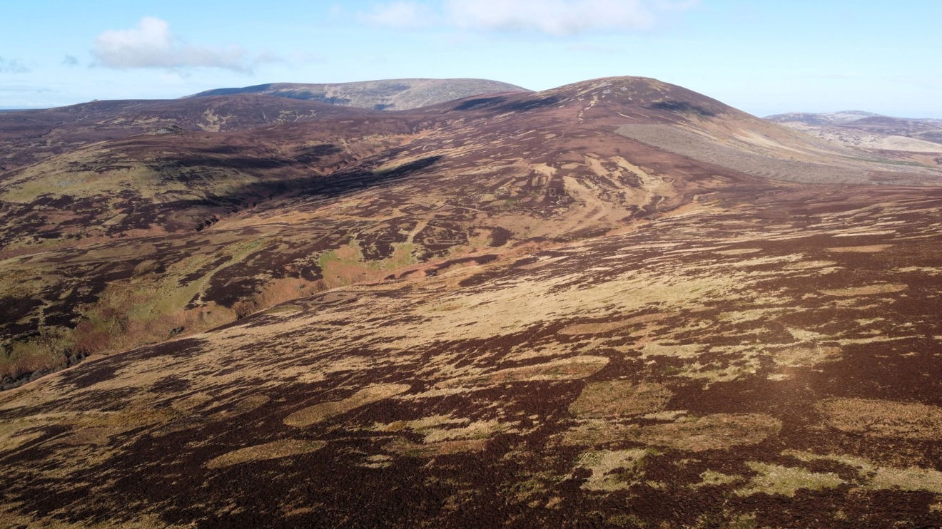
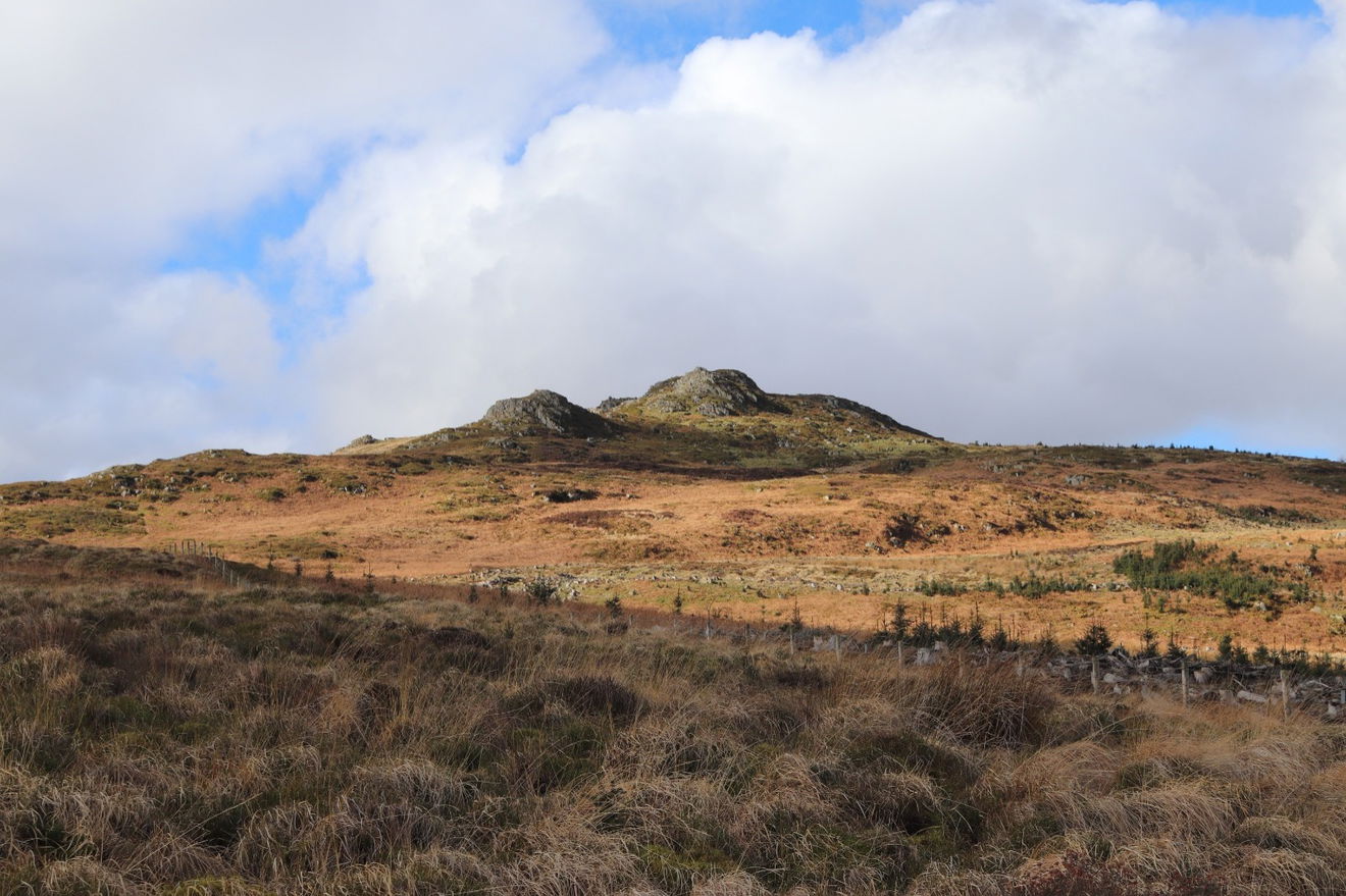
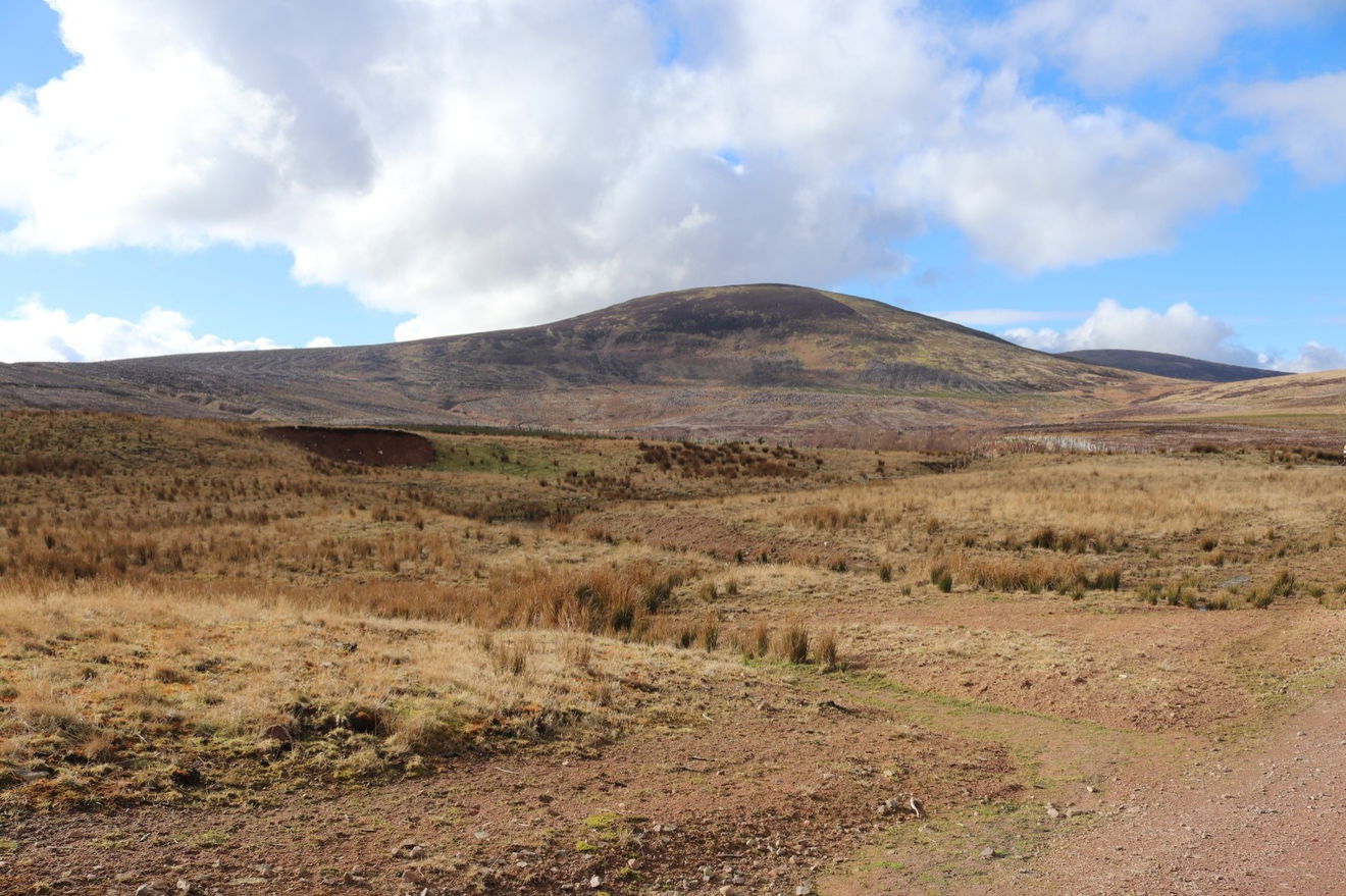
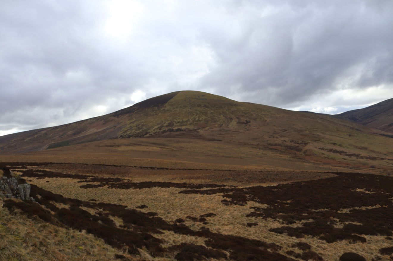
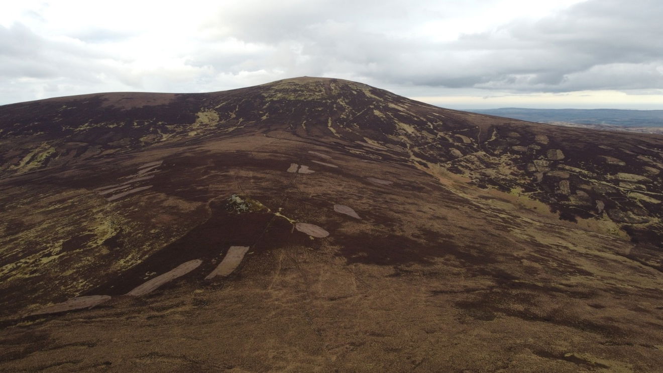
As the longer path was on nice solid road, I decided to stick to that instead. And there is Hedgehope Hill looming in the distance.
As I emerge from the little forest area I encounter the first crag which is Tathey Crag.
Then straight towards the Langlee Crags.

Now for another tale of woe. Last time I was up here was 6 months ago in September and was taking some drone footage of these crags. As it was a sunny day I had my sunglasses on, but had to keep taking them off to look at the screen. Somewhere along the route I had left my sunglasses on the ground and I only realised I didn't have them anymore on the drive home.
As I was passing I thought I would have a look around the places I flew the drone on the remote chance they would still be there and had survived 6 months and also winter in the Cheviots!
It was a long shot, but no sign of there here, so I make my way over to Housey Crags.
A quick scour around and still no sign of my sunglasses, so I have a final rest in my usual spot and fuel up before tackling Hedgehope Hill. I made sure I held on tight to this bit of Fruity Malt.
Then literally 2 metres from my foot I spot something in the grass. Would you absolute believe it, my sunglasses!
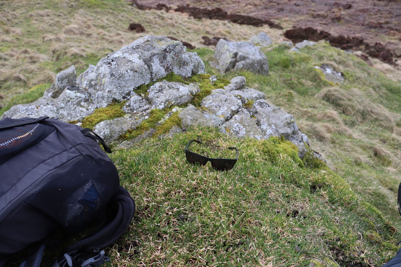
Couldn't believe that they had turned up, no one else had found or moved them and they had survived 6 months and also a winter in the National Park. Buoyed by this good fortune I bounce on towards Long Crag which is the doorway to the Hedgehope Hill route.
It doesn't seem too bad. Just 1km to the top and 300m of ascent.
I am around half way up now and my legs are screaming. This is ridiculously steep and I have to stop every minute to catch my breath and let the shrieking in my legs subside. Canny view from halfway up though.
After a bit of grumbling and swearing I am finally at the top and am greeted by the wonderful sight of the Hedgehope Hill Trig Point.
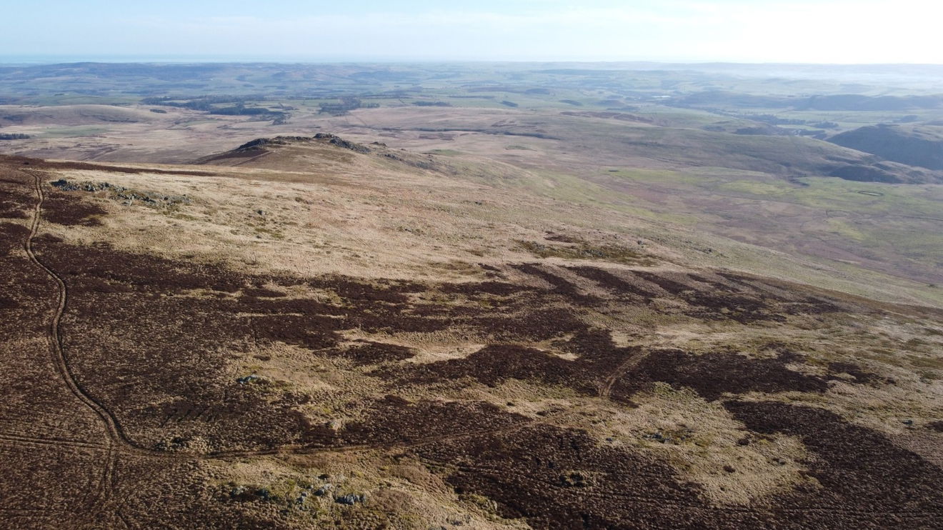
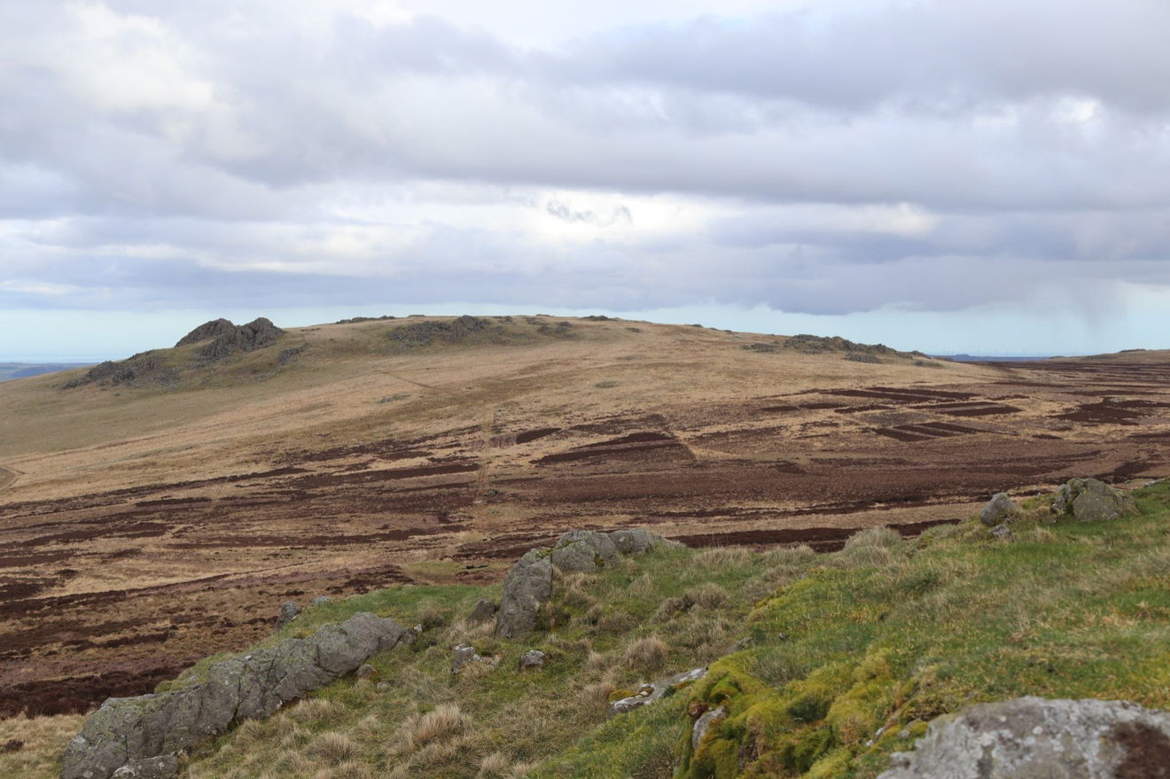
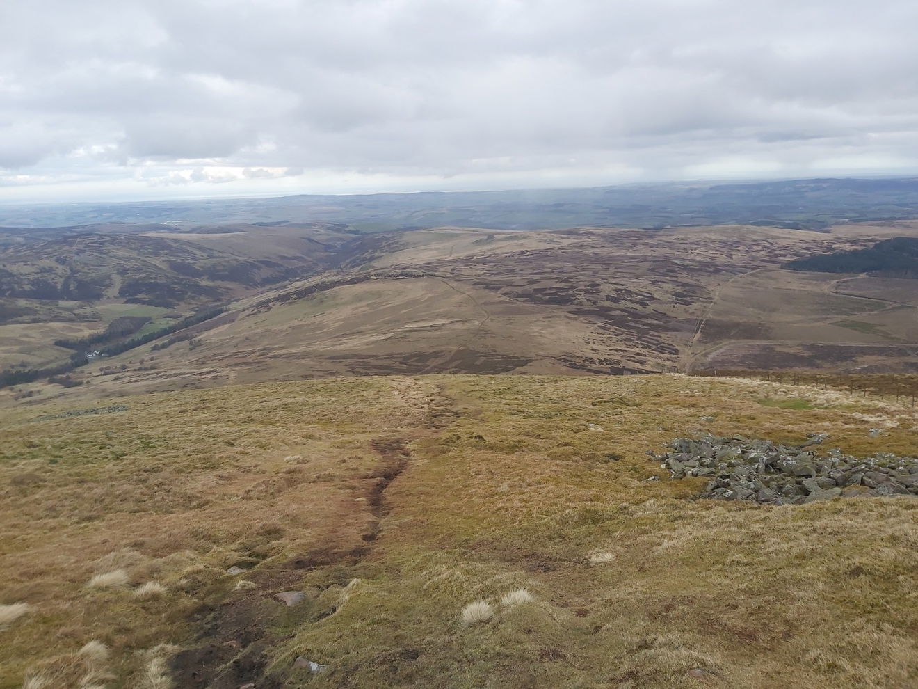
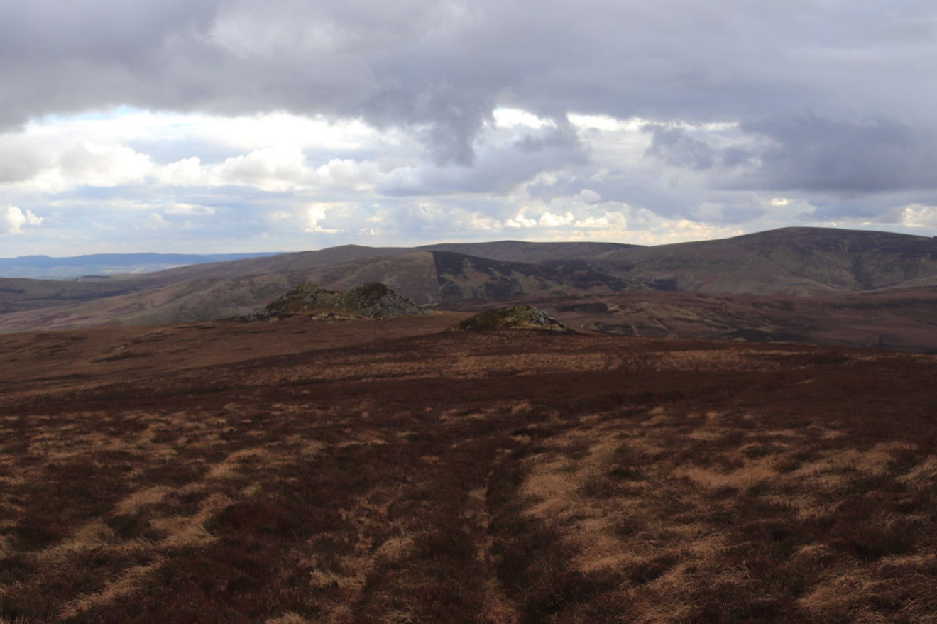
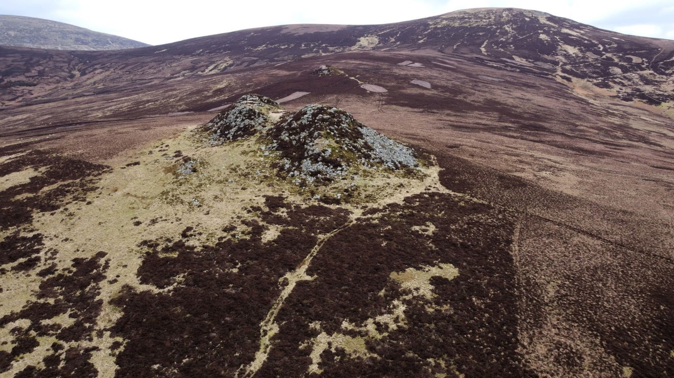
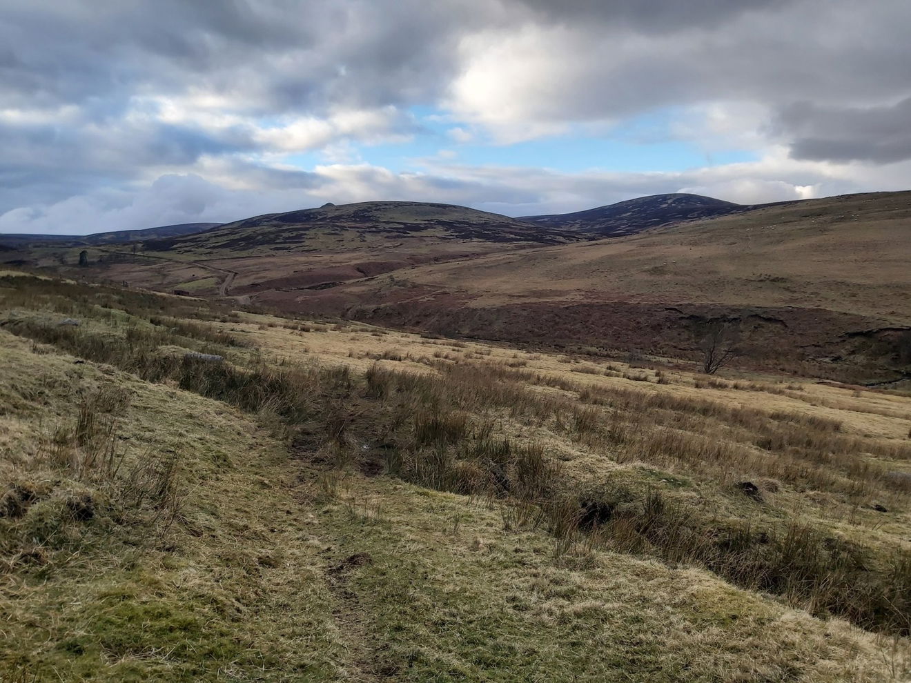
Now it was all downhill and I start to head towards the Little Standrop and Great Standrop which are two crags on the south face of the hill, although still a 2km walk to get to them. I spy the beautiful view of The Cheviot peeking out behind me.
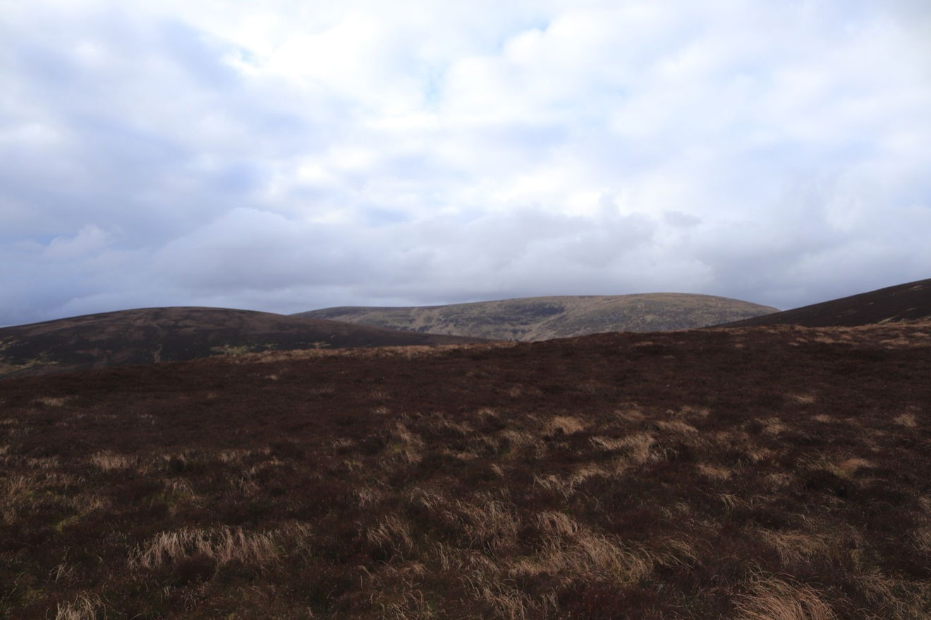
And that is my route down, with the two crags camouflaged against the heather.
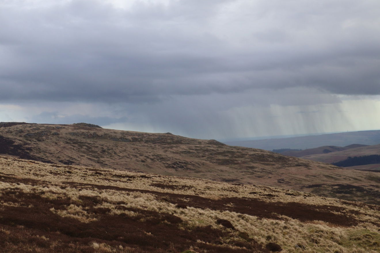
Then I have another disaster. Having lugged my drone and camera up and down hills for over four hours, I look right and see mist rolling in over the top. I'm going to be thwarted 1km away from the crags.
As the mist hit me I realised it wasn't mist, but a flurry of snow! But before I could rue my luck, the snow dissipated within a few minutes and I was left with a clear view of the crags.
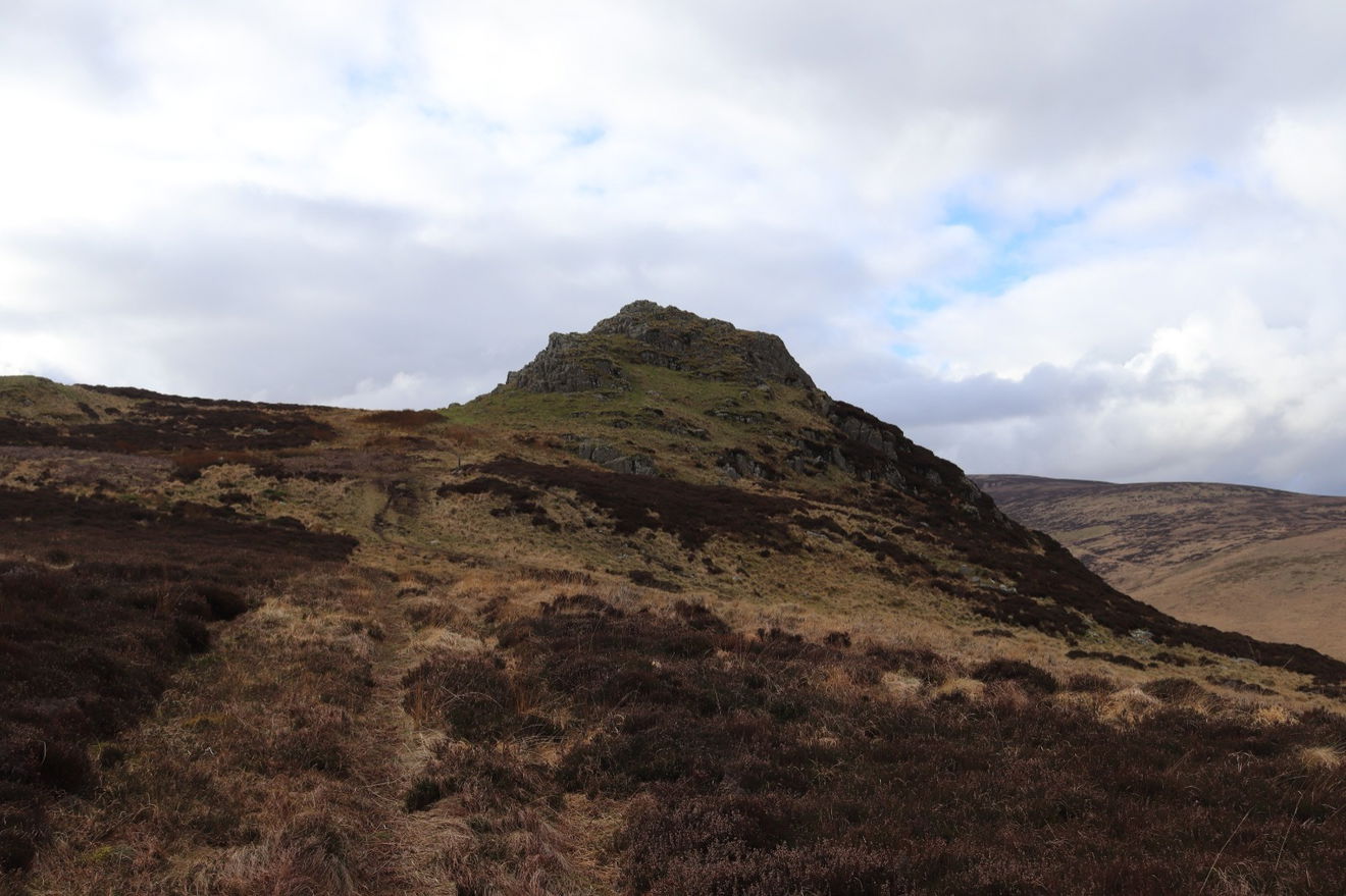
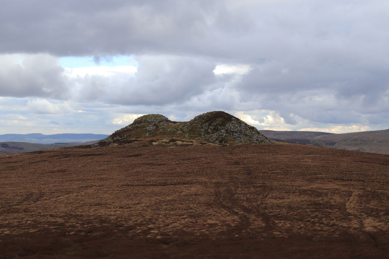
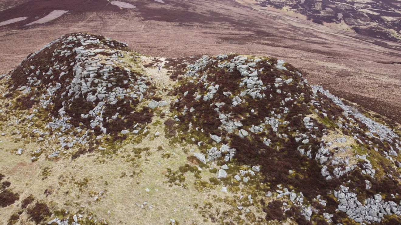
Fearing another weather incident, I leg it over to the crags starting with Little Standrop.

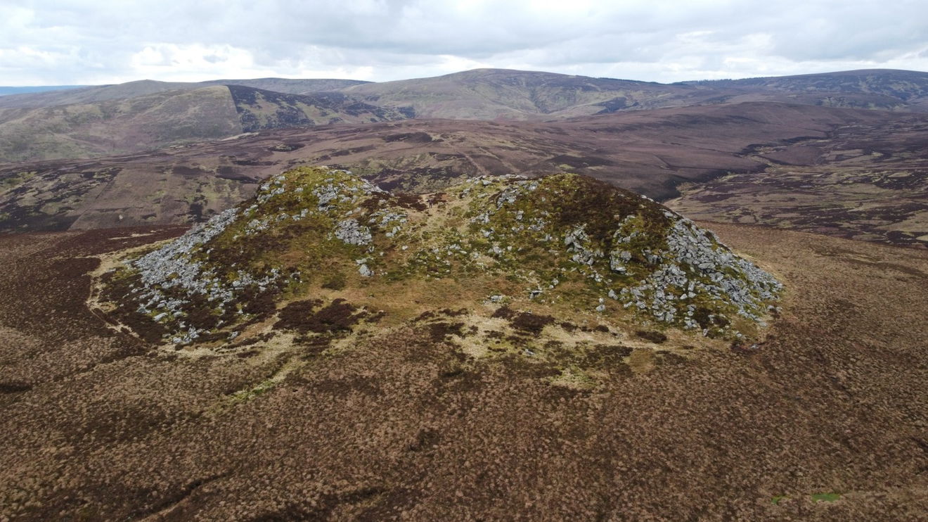
And then I quickly headed over to one of my favourite crags - The Great Standrop.
Time to get some better views of it, so Red5 drone comes out. Brace yourself.
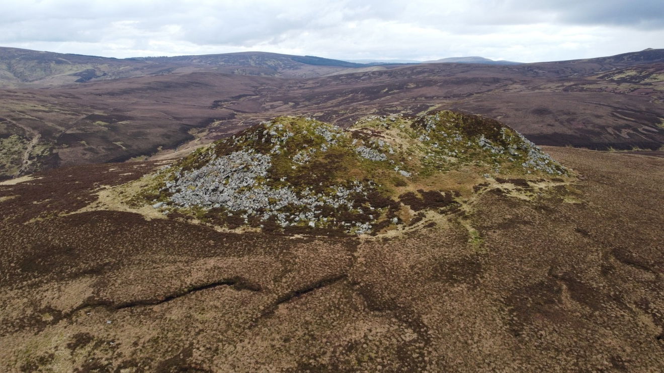
I think I took about 100 photographs, but will spare you and share just a couple more. Can you see me?
A final view back up towards the Little Standrop and Hedgehope Hill and then I turn away and head back downhill towards Linhope.
Heading homebound and I see the crags I visited at the start of the day.
Then a simple journey back towards Linhope Spout.
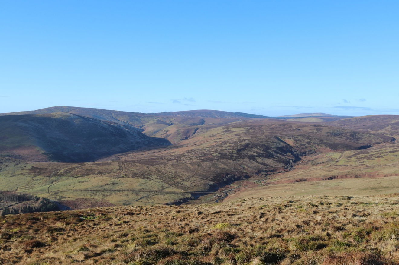
The Great Standrop is a canny distance away now.
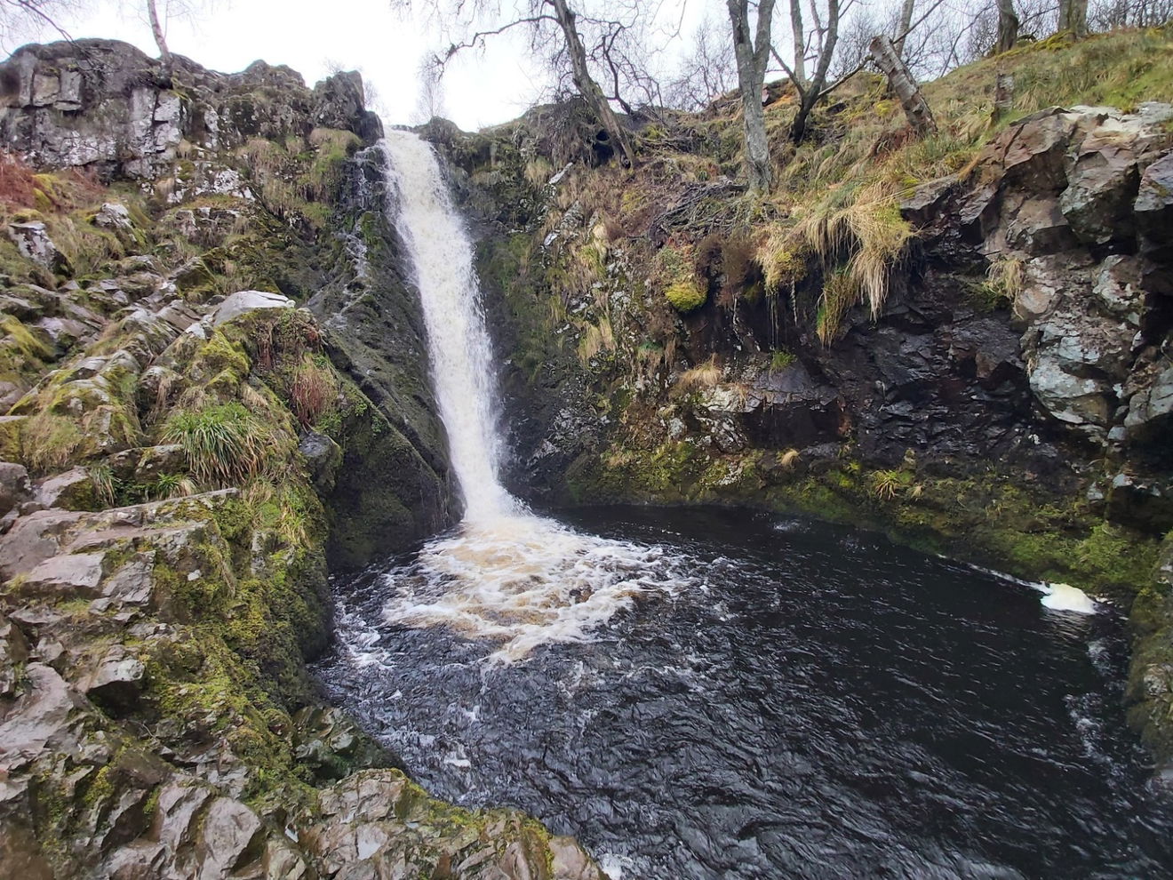
A quick visit to Linhope Spout and then it's back to the car.
Thanks for joining me on another epic adventure in the Northumberland National Park. I hope the saga of the dropped Fruity Malt and the found sunglasses didn't take you on too much of an emotional rollercoaster! See you next time.
Where to Park For Cunyan Crags, Langleeford Crags, Hedgehope And Great Standrop
Where To Park For Cunyan Crags, Langleeford Crags, Hedgehope And Great Standrop?
What three words
Parking is off road at Hartside just before you enter Linhope Village. There are loos at at Bulby's Wood car park if needed.
Fabulous Places On This Walk
Discover what fabulous places you will find on this walk - Cunyan Crags, Langleeford Crags, Hedgehope And Great Standrop.

Linhope Spout
Waterfall Ingram Valley NorthumberlandAn 18 metre waterfall in the beautiful Ingram Valley.

Great Standrop And Little Standrop
Crag, Rock And Cairn The Cheviots NorthumberlandTwo rocky outcrops on the banks of Hedgehope Hill.
Contributed by Simon Hawkins
Thanks for checking out this place on the Fabulous North! I do enjoy a wander out in to the countryside trying to find hidden gems that not many people know about. You can't beat a rogue pele tower up a remote hill, a mysterious stone circle or a stunning waterfall secluded in a forest.
More Walks from Simon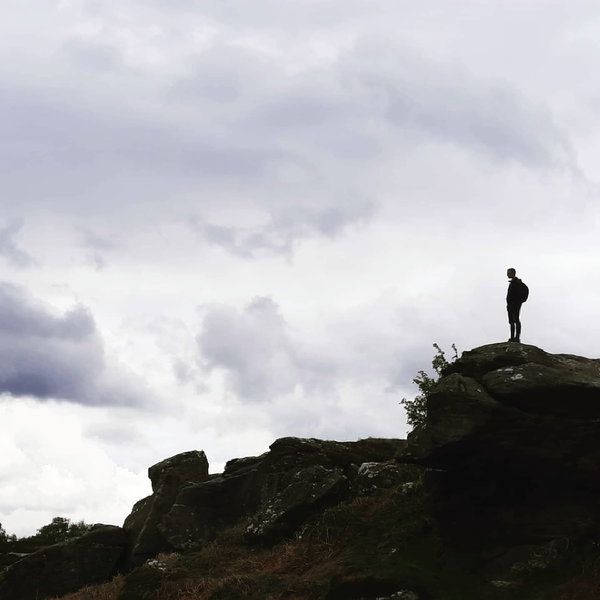
More Places In Ingram Valley
Find more fabulous places in Ingram Valley, Northumberland and if you know of a place we haven't listed, then let us know.
Linhope Spout
Waterfall Ingram Valley NorthumberlandAn 18 metre waterfall in the beautiful Ingram Valley.

Dunmoor Hill Stone Circle
Stone Circle Ingram Valley NorthumberlandA little stone circle sitting at the bottom of Dunmoor next to Cunyan Crags.

Branton Lakes Nature Reserve
Landscape Ingram Valley NorthumberlandA Nature Reserve alongside the River Breamish in the Northumberland National Park

Find Us On Facebook
We post all our new places daily on our Facebook Groups page, so join the group today and be notified when we add a new place.
Join Our Facebook Group