Pennine Way Challenge 2024
The Cheviots, Northumberland
A 35km challenge walk along the Pennine Way from Byrness to Linbriggs taking in Chew Green and Windy Gyle.
Distance - 35km (22 miles)
Ascent - 1,084m
Duration - Approx 9 hours
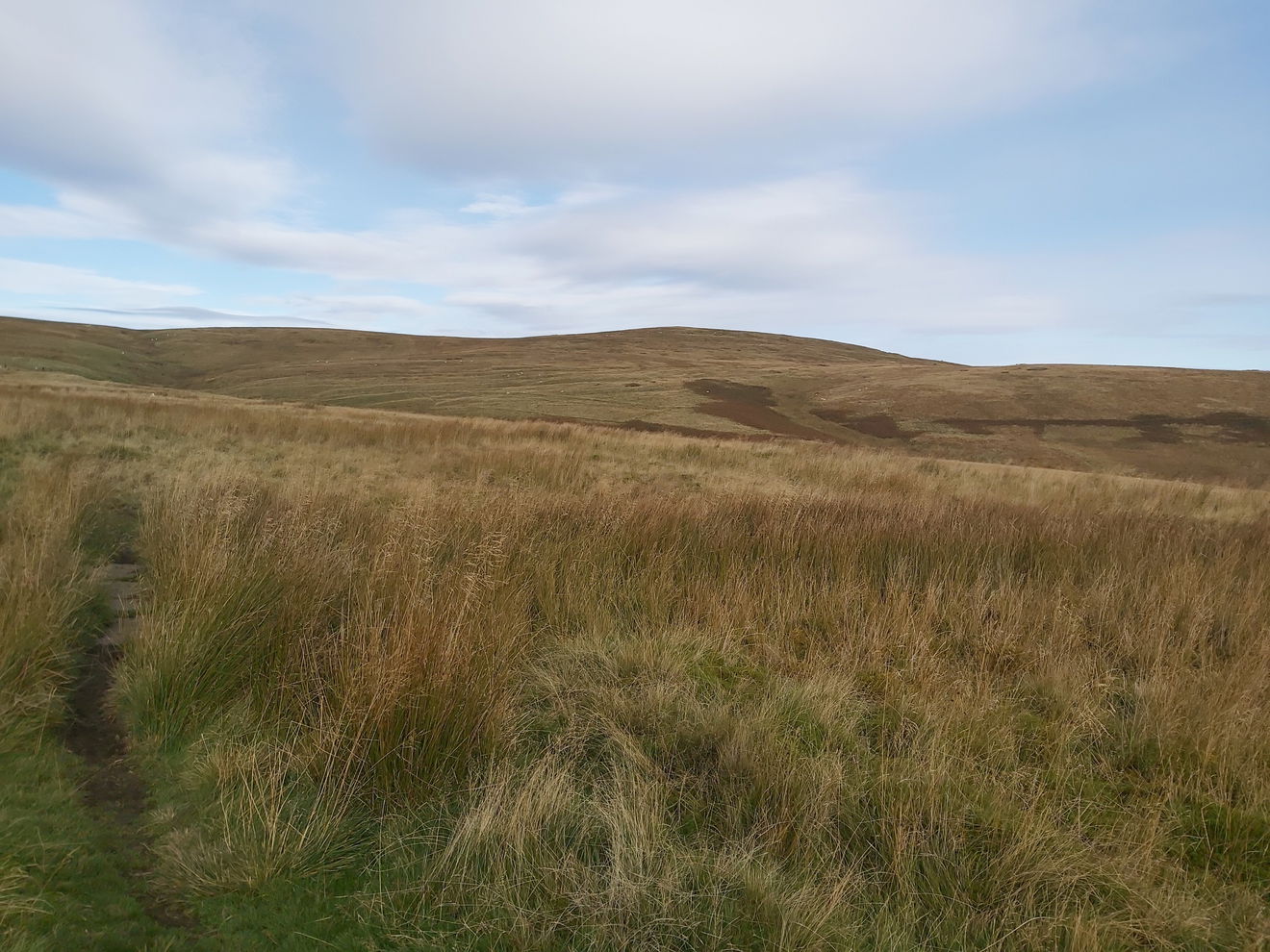
Terrain - Grassy paths, some paving and boardwalk, but prepare for a lot of boggy areas!
Parking - For the walk we parked at Linbriggs Farm and then were bussed to the starting point in Byrness. View Parking Map
View Route On OS MapI love a hike and also love a challenge, so when I spied that the Shepherds Walks were doing a huge challenge walk in my favourite place, the Cheviots, it was a no brainer to sign up. I had previously done the Northumberland Coastal Challenge Walk (Bamburgh to Alnmouth) a few years ago, but that was pretty much on the flat. This hike was 35km (23 mile) with nearly 1,000m of ascent and on a totally different terrain - bog!
Having got myself over to Linbriggs (near Alwinton) for 7:30am, I signed in, had my kit checked and received my chitty which would be stamped at the two checkpoints.
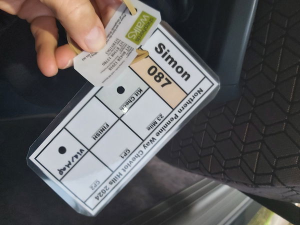
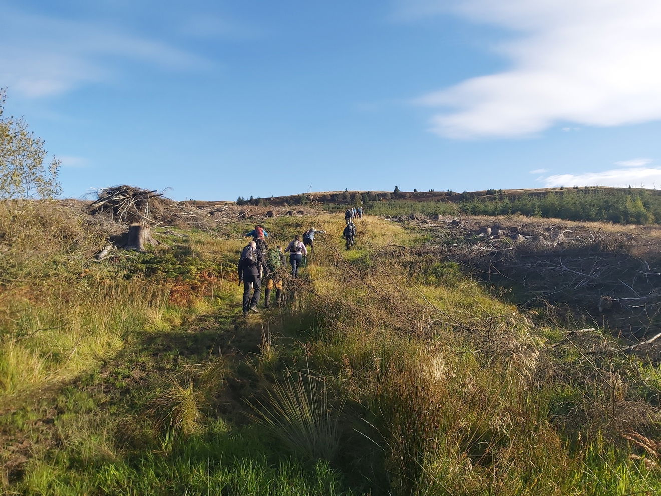
Then it was straight on the bus to head up to the starting point in Byrness outside the St Francis Of Assisi Church. As there is no straight line route for vehicles, it took an hour to get there, so my walk began at 9am. First task, ascending Byrness Hill.
I've walked the initial part of this route up to Ogre Hill before, from when I went to bag Hungry Law, Lumsdon Law and Echo Crags, so I knew to pace myself as this initial part of the walk was straight up hill gaining 300m of height in just over 4km.
I was towards the back of the group and saw two ladies whizz past in running gear, looking to run the whole of the challenge. Bonkers, but impressive!
Once at the top you do get rewarded for your climbing endeavours with a smashing view over Catcleugh Reservoir.
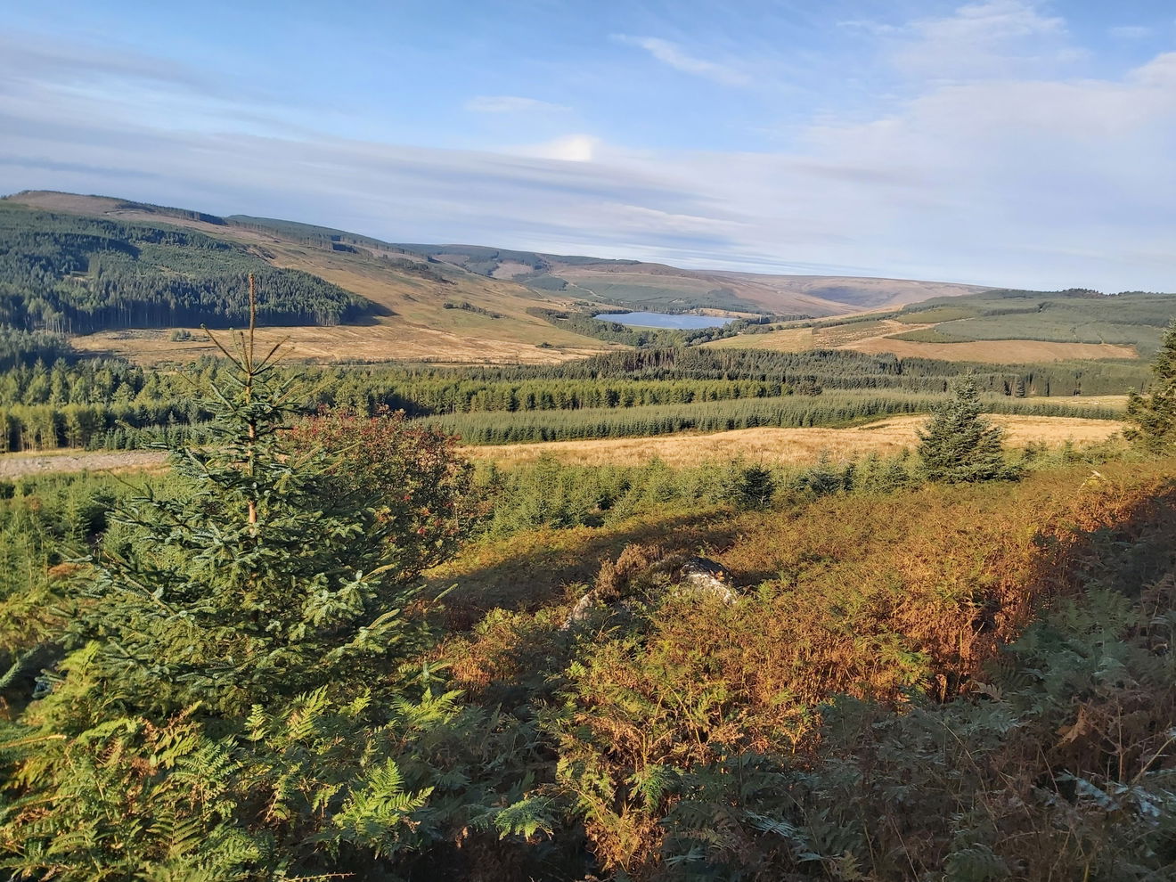
A cute little cairn marks the top of Byrness Hill and then I just follow the Pennine Way north.

Then I just continue on up and over Green Crag and on to Houx Hill.
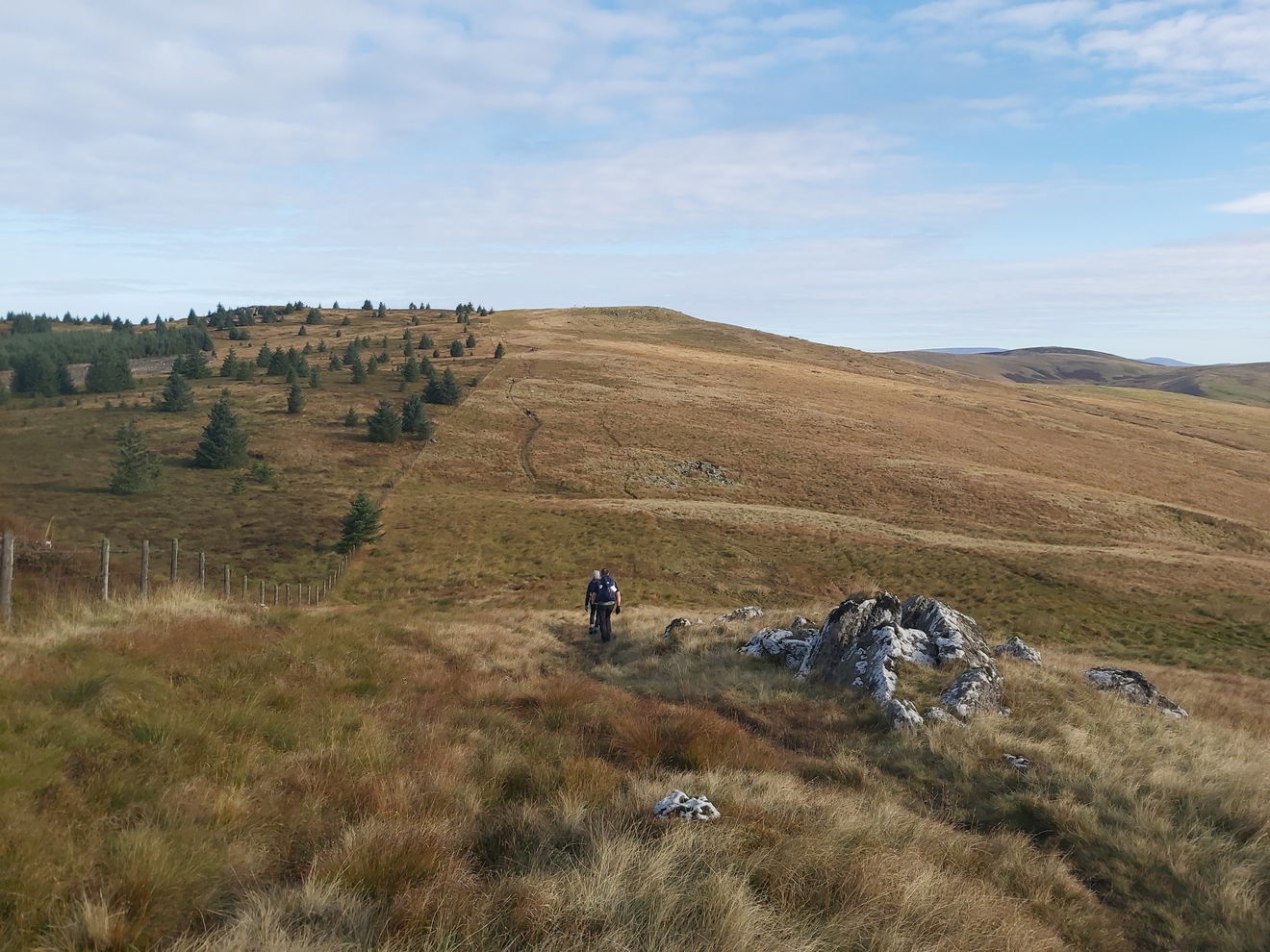
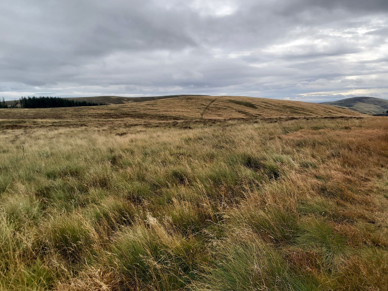
It can get a bit boggy when walking in the Cheviots, but now and again you will happen upon a little boardwalk or stone pavement, which is always welcome.
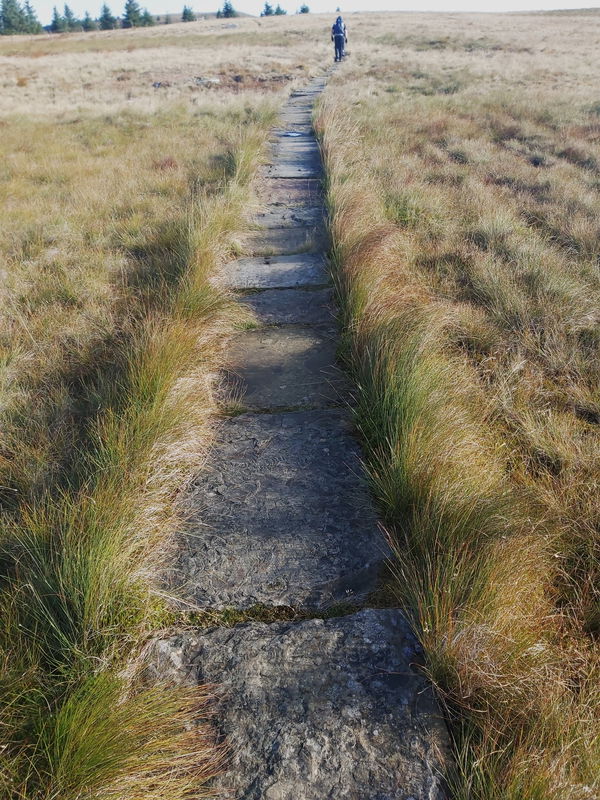
Following the fence line, my next stop is Ravens Knowe. Again it's a bit boggy here, but this time I have a boardwalk to help keep my feet dry.
The boardwalk is definitely needed in this area as in parts it's quite deep swampy water. But then disaster struck.
The chap in front of me slipped on a wet bit of boardwalk and started tumbling towards the greeny watery depths. Fortunately he managed to stay on the boardwalk and then got up and continued on like a trooper. That would have been a long and uncomfortable day heading into that!
Again Ravens Knowe is topped by a canny little cairn.
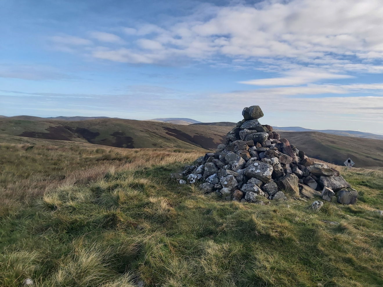
Now time to head up to Ogre Hill. Not sure where the name came from, but it is swampy around here and I recall Shrek living in a swamp, so maybe it's linked to that.
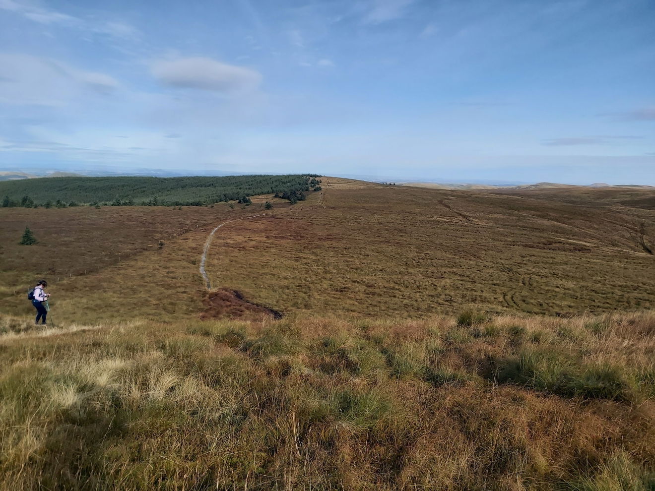
Once over Ogre Hill, it was time to head towards Chew Green. I did take a smashing picture of the other side of Ogre Hill.
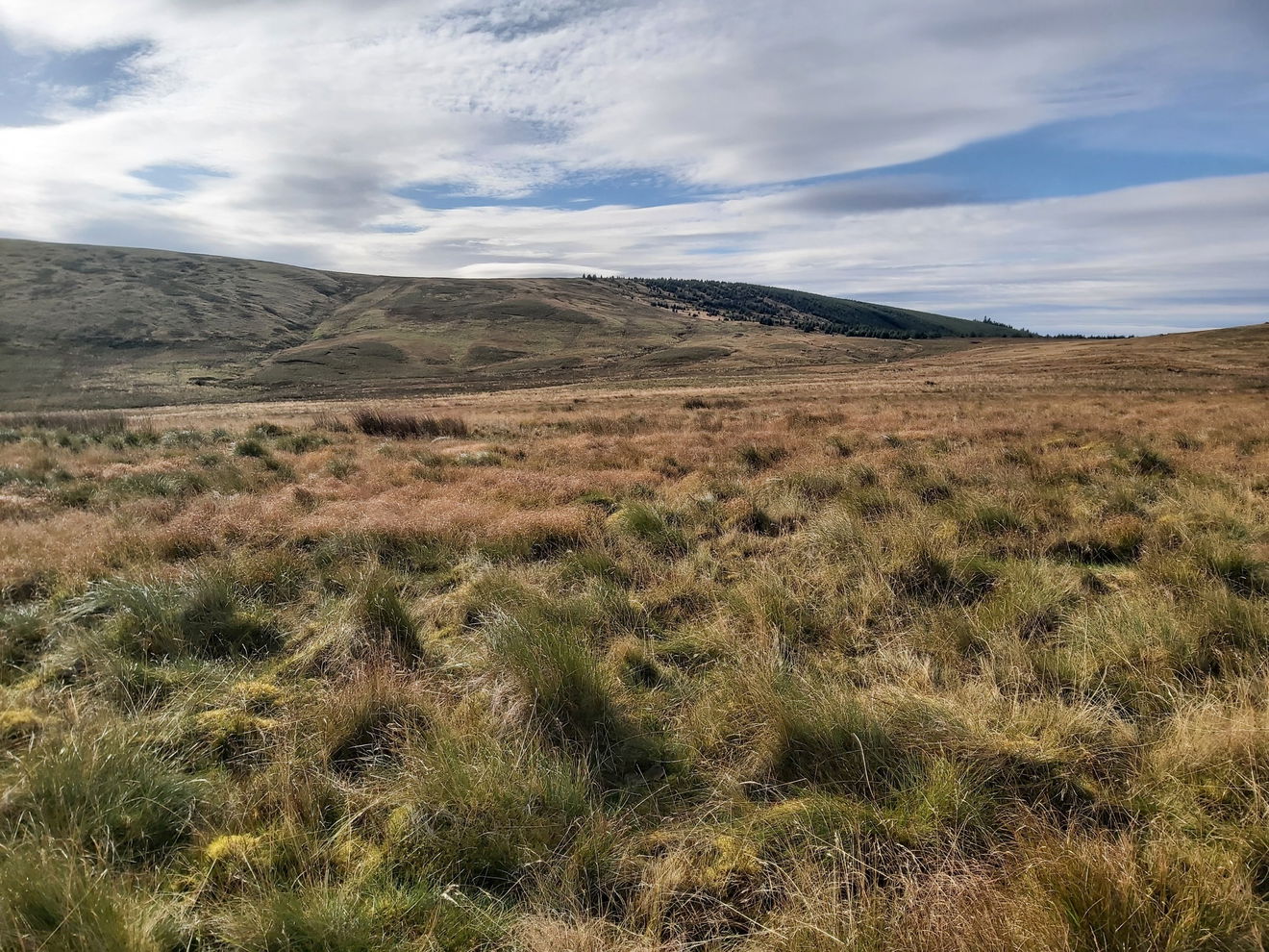
And then I get my first glimpse of Chew Green Roman Camp. You can clearly see its outer boundaries from here. I'll have to come back one day with my stilts to get a better look.
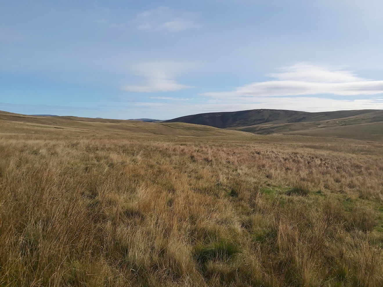
Following the way markers takes us up around the east of Chew Green and towards the border ridge.
As I am doing the Cheviot 99 Challenge (bagging all hills in the Cheviots over 300m) I had spied on the map that I pass just under Brownhart Law. So with a quick diversion I head up there and then back on to the Pennine Way.
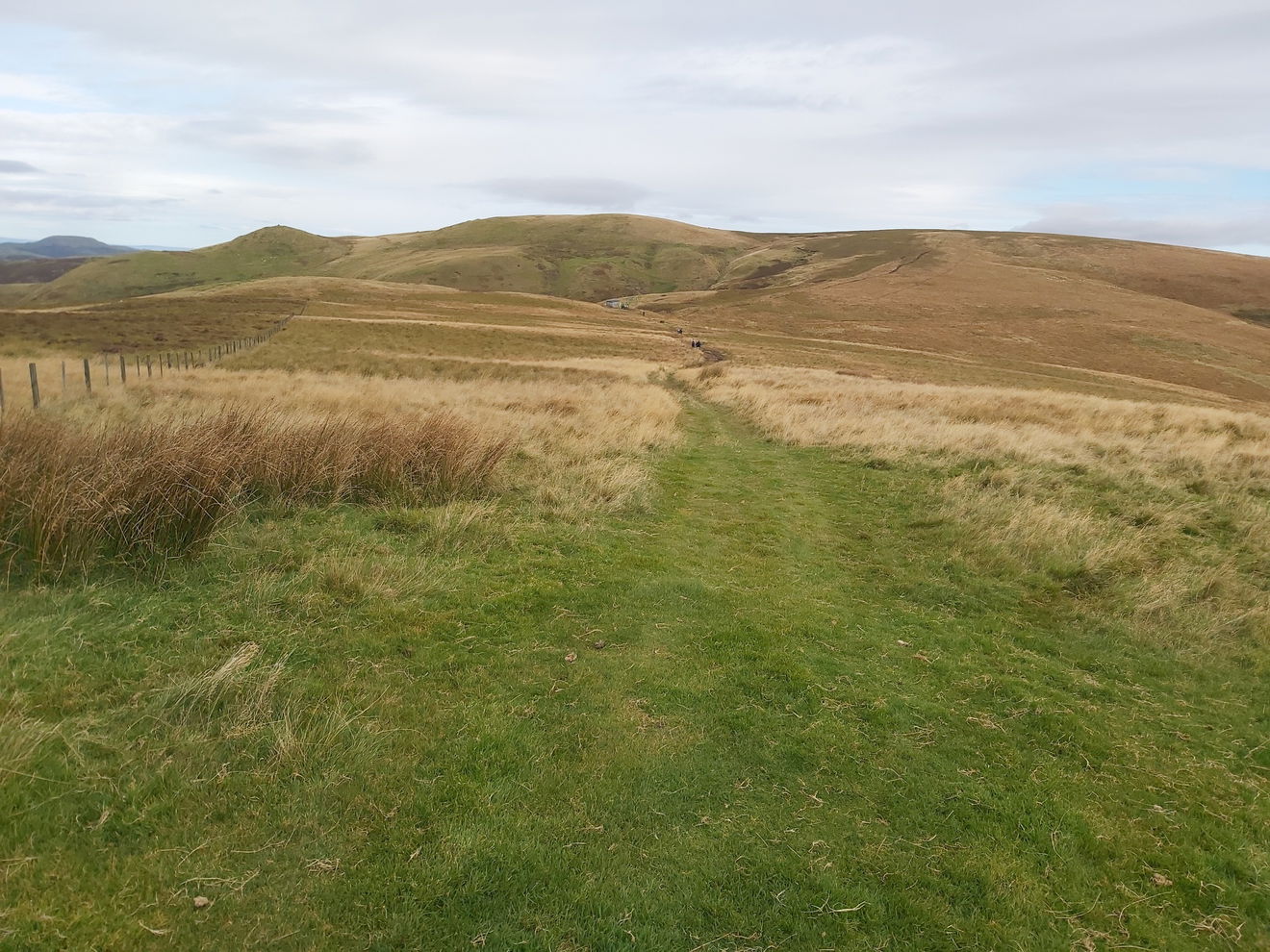
At this point I have done 10km with another 4km to go until the first checkpoint. This part of the route dips in and out of England and Scotland, but the scenery remains glorious.


I don't think I'm a slouch when walking, but the pace all the walkers were going was cracking and it was sometimes a struggle to try and keep up. A couple of hikers I spoke said they were trying to get back for Strictly on the TV, so maybe that was the same for others too!
Then like a beacon in the gloom, the Yearning Saddle Refuge Hut appears, which is the first checkpoint. It's a welcoming sight and a nice place for a little rest and to catch up with your fellow hikers. But nope, I see the front runners get their chitty stamped and then straight on to the next hill. Crumbs!
Now if you ever do a challenge walk with Shepherds Walks, you will find out quickly that all the people at the checkpoints are absolute smashers who cheer you on and give some friendly banter to raise your spirits.
As I was getting my card stamped I cheekily implied that I had ordered a Champagne Brunch to be delivered to Checkpoint #1, however the fab ladies cackled and said that there was no way they would be trusted to look after champagne! Grabbing a jelly snake from the tub, it was time to continue onto the border ridge and up onto Lamb Hill.
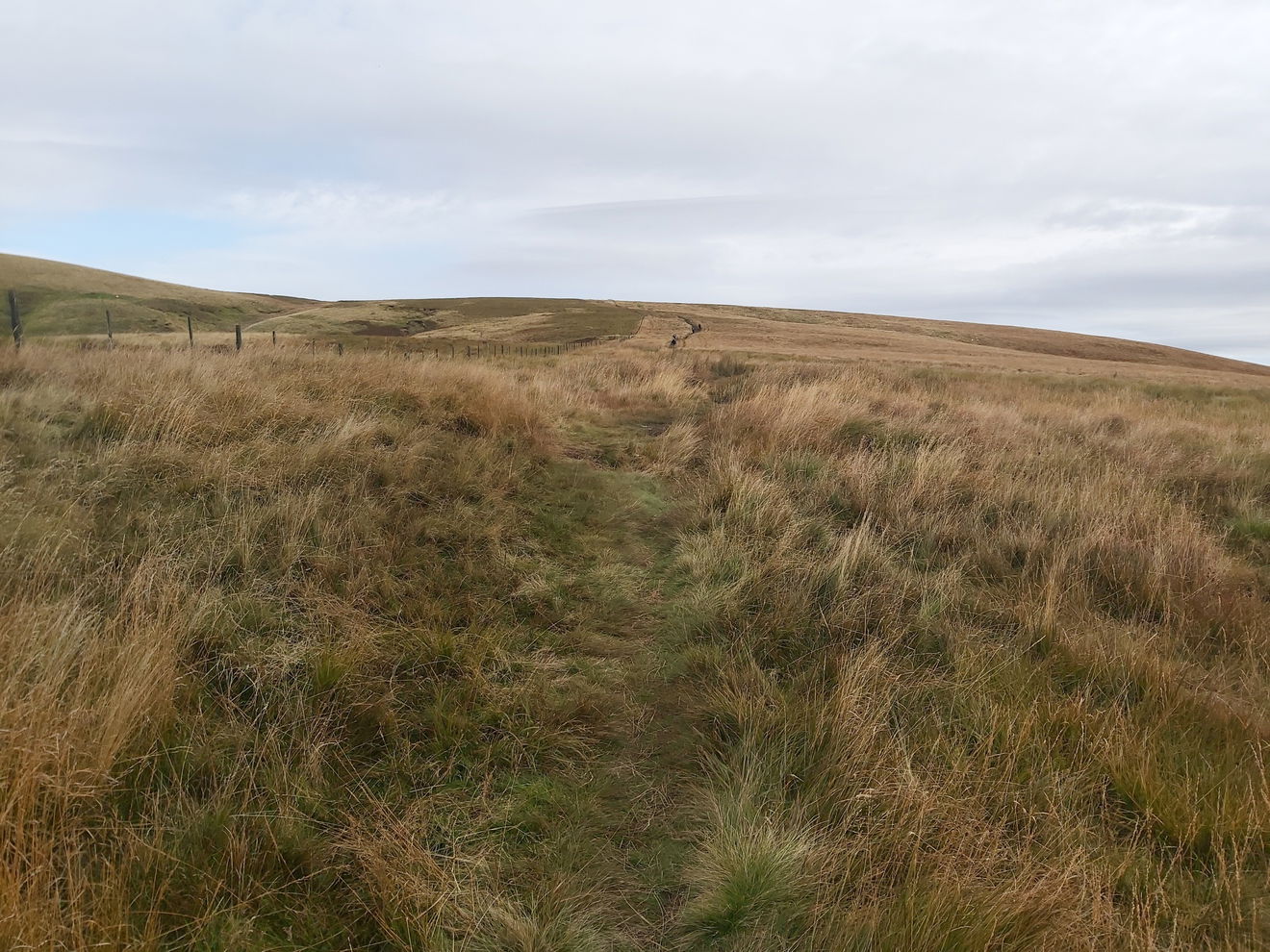
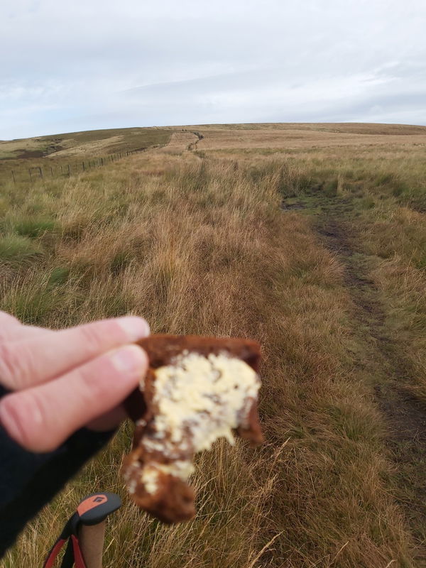
Not wanting to lose sight of the leaders I ploughed on and had my obligatory snack of Fruity Malt on the go.
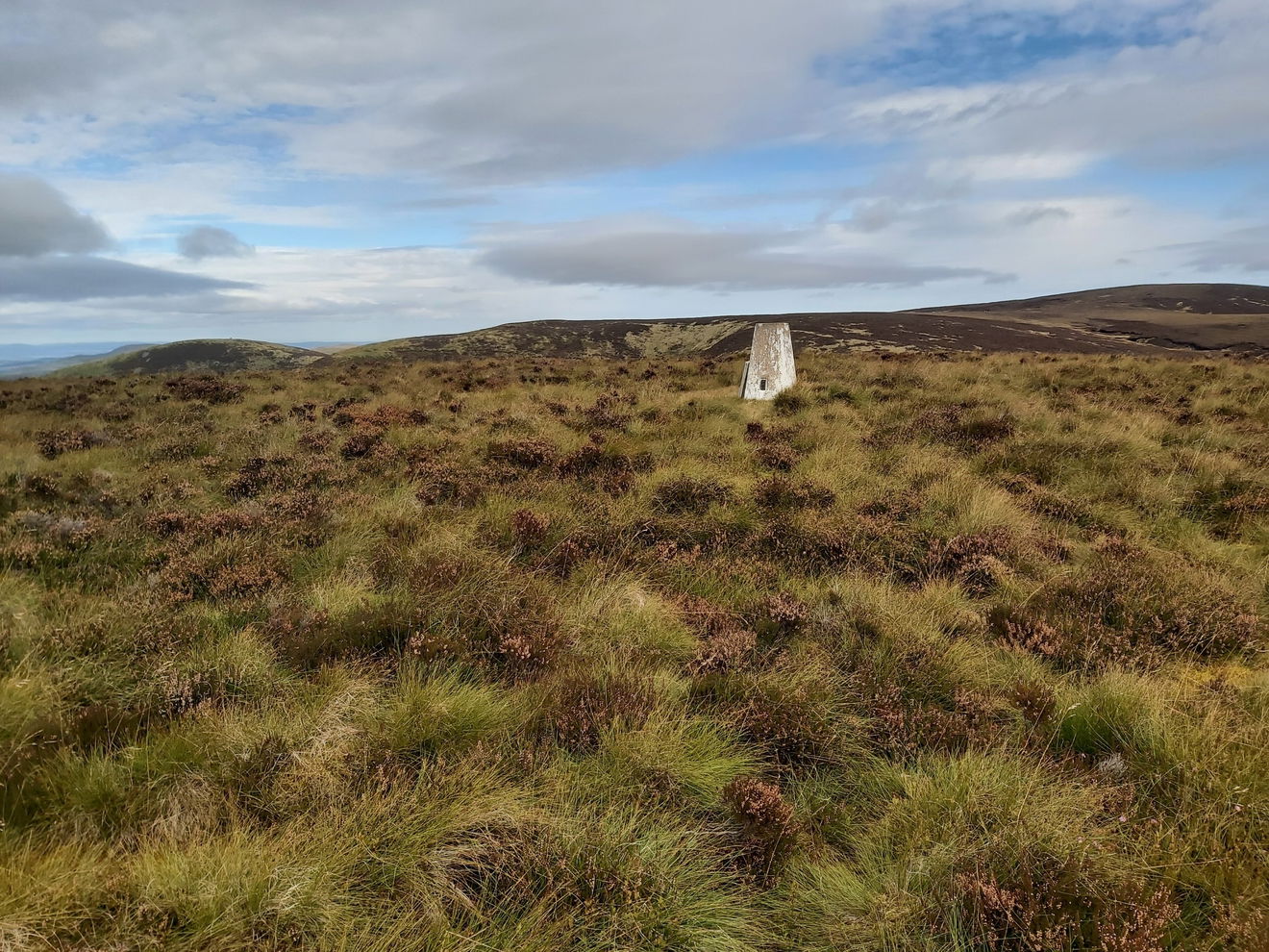
And if you're also doing the Northumberland Trigs Challenge then you can bag the Lamb Hill trig point as you're passing.
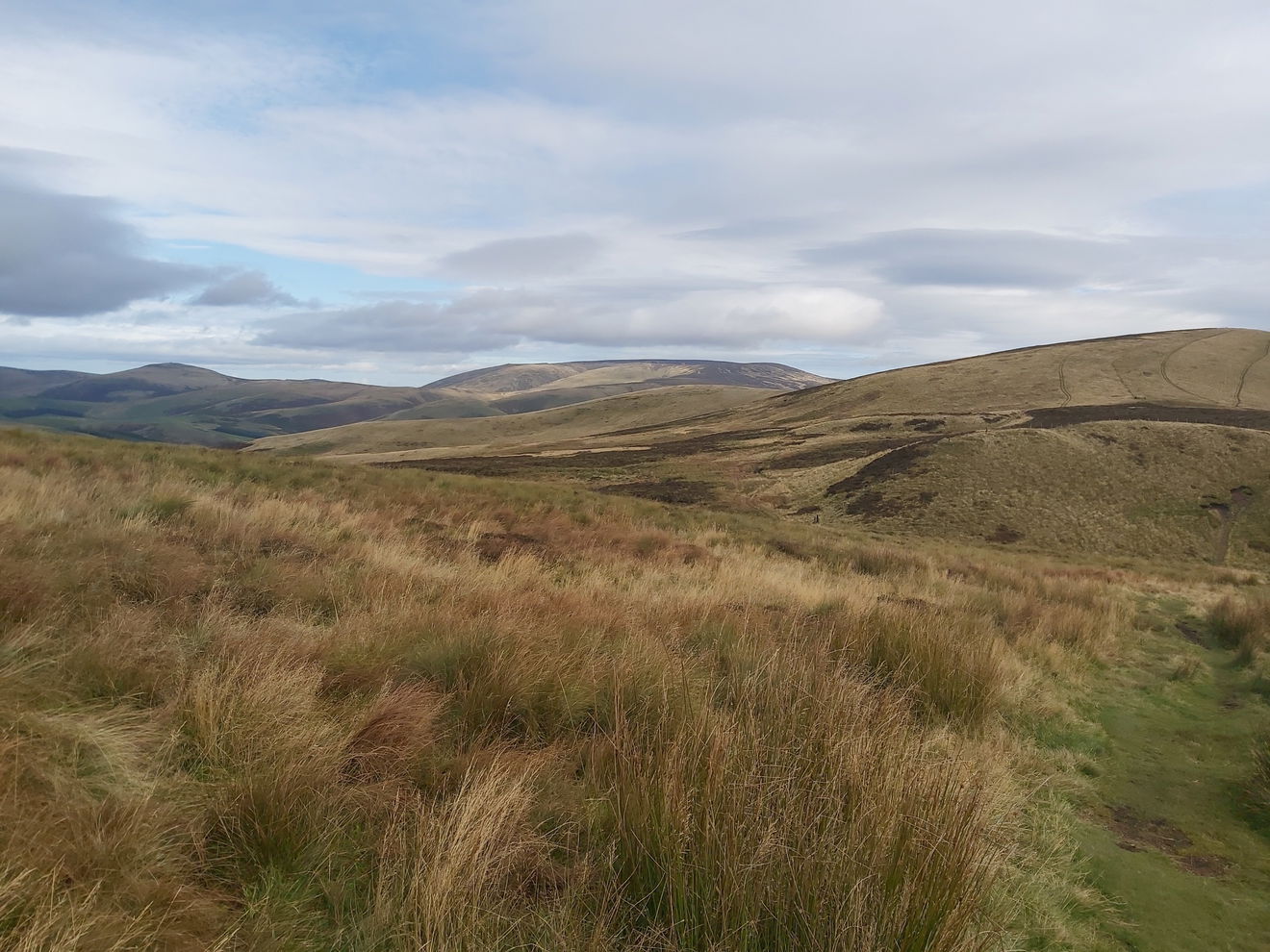
From the top of Beefstand Hill I get my first sight of Windy Gyle and I must say it looks a canny distance away.
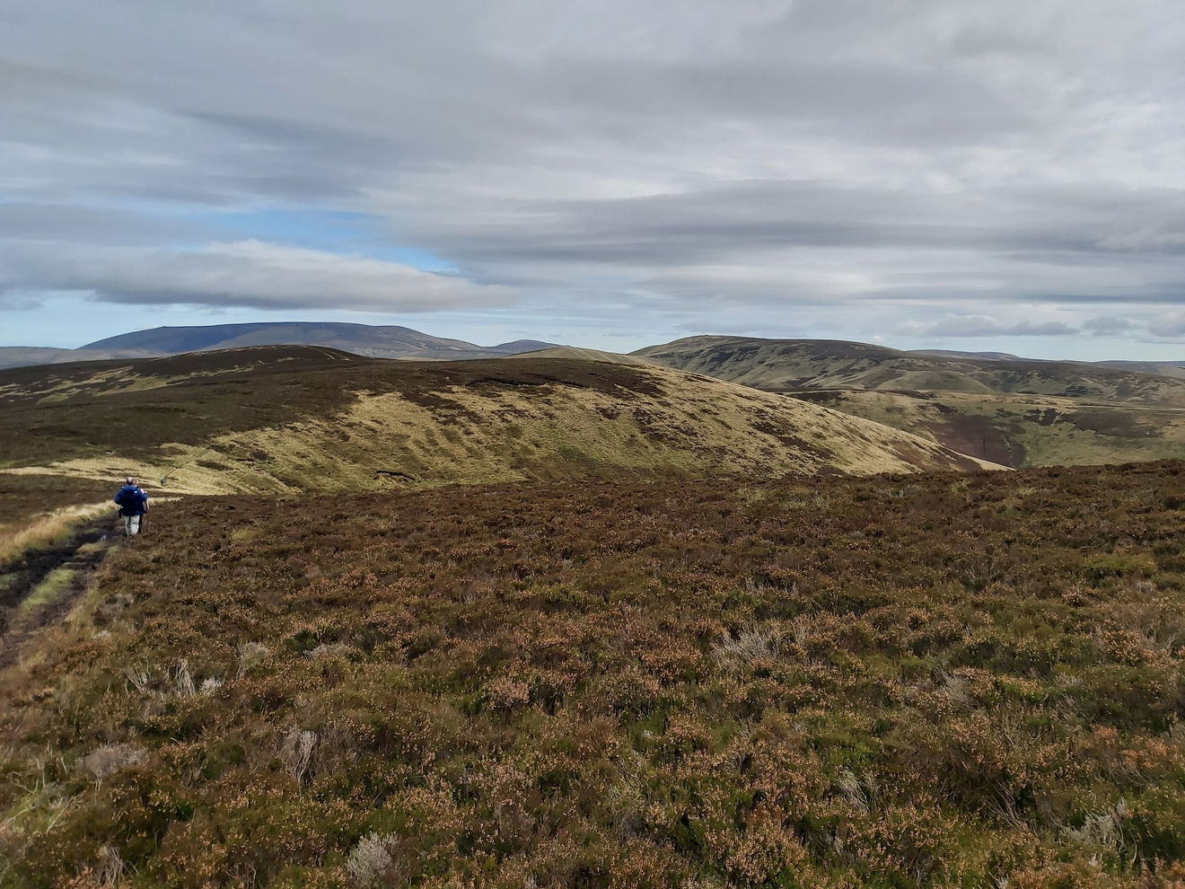
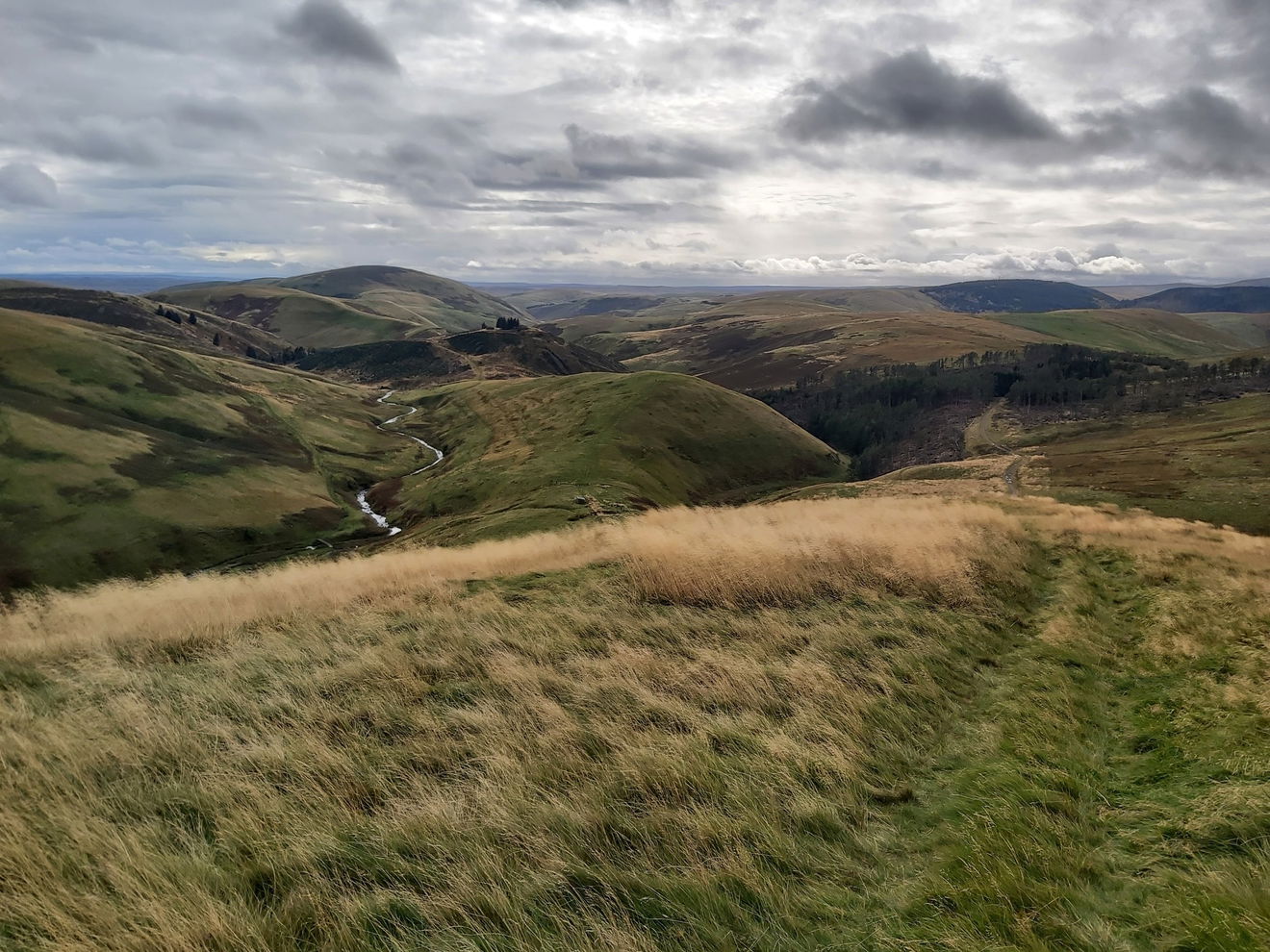
And this is one of my favourite views in the Cheviots which is looking down the valley between Beefstand Hill and Mozie Law towards Swineside Law.
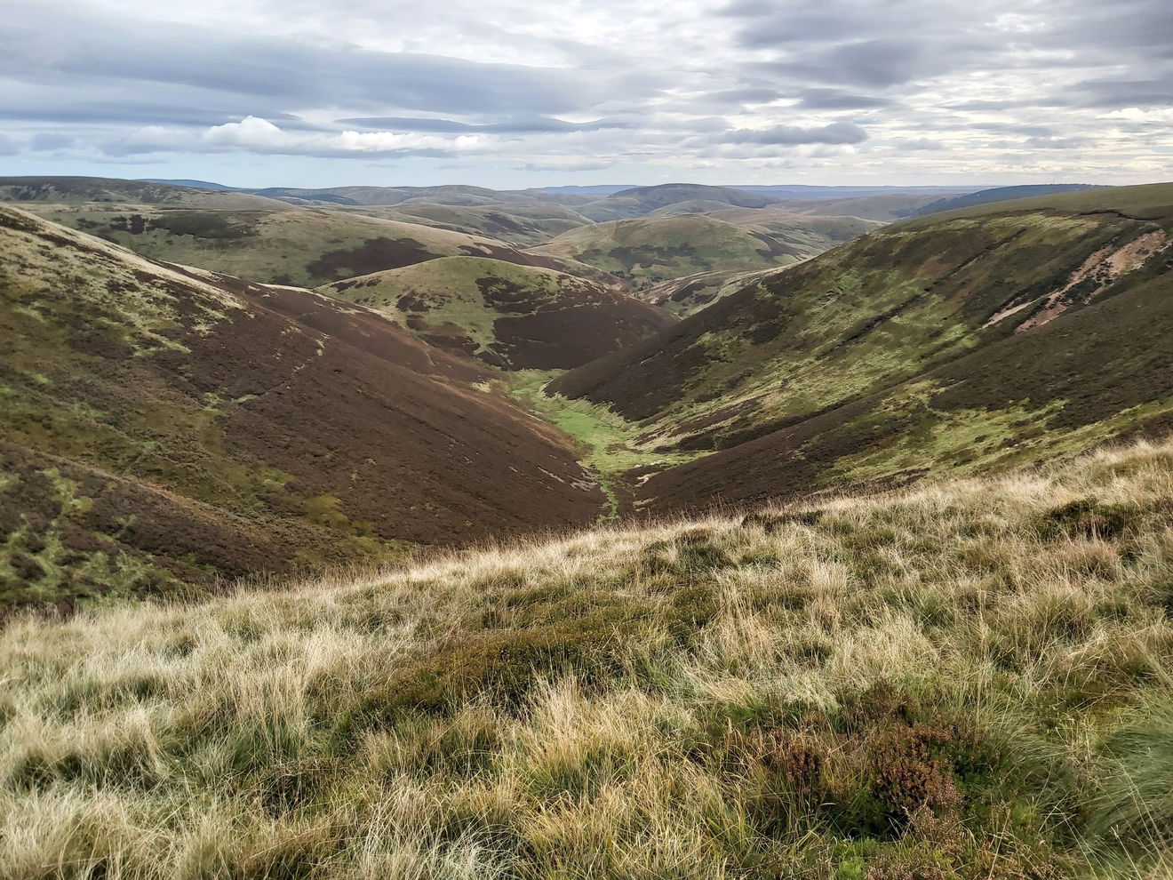
Now the problem with doing a group walk is that you can get a bit complacent and simply follow the people in front of you. That works great, unless they are doing the same thing and the people they are following have taken a wrong turn. So I ended up doing a little diversion near Mozie Law, but quickly got back on track.
Beyond Mozie Law is another little incline and from here I get a magnificent view of The Cheviot.
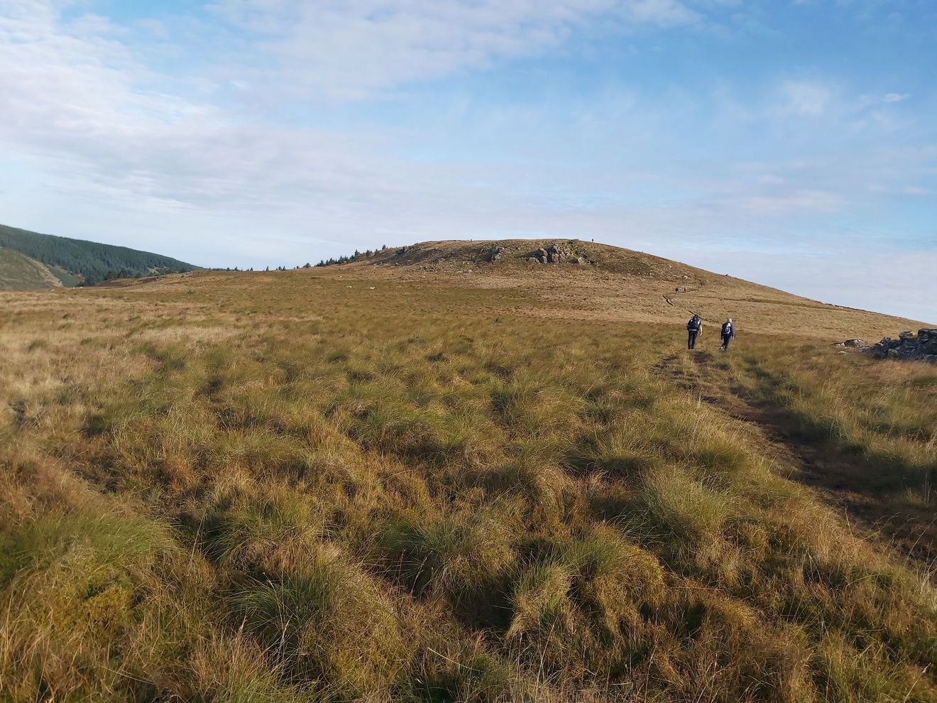
From here there is a little saddle before making the final climb up to Windy Gyle. In addition to the 35km walk there was also two shorter walks and this looked like a popular stopping place for everyone.
I grabbed a quick picture of the Windy Gyle trig point and then started my final jaunt on the border ridge before heading south.
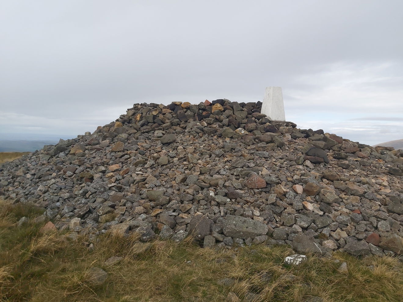
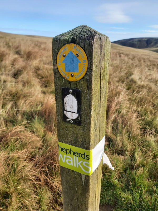
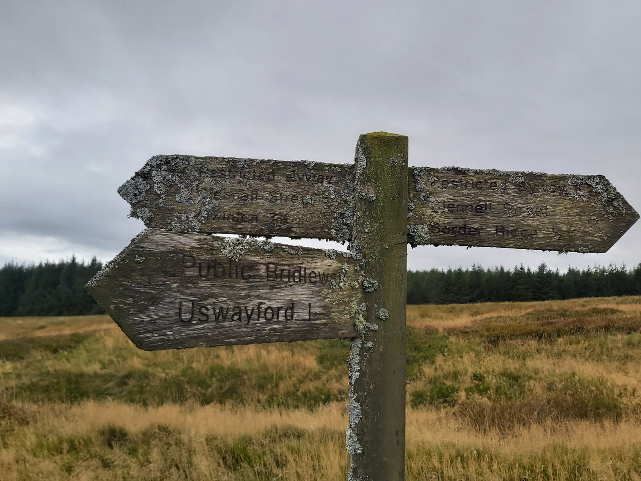
Just at the point where I turn south, there was a lovely volunteer chap pointing the way to make sure I didn't miss the track and giving some tips on the route to take. There were also some signposts further down that looked like they had been there a while!
The route for the Pennine Challenge skirts Hazely Law and keeps you on the flat, but as this was still on my to do list for the Cheviot 99, then I took a quick diversion over the top.
From the top I got a mega view of my next hill which is simply called The Middle.
And in the valley between Hazely Law and The Middle was Checkpoint #2. Some Haribo and a blackcurrant squash was a lovely reward and enough to give me a sugar spike to plough on. Again the volunteers were fantastic here and even offering to heat up my squash, which I kindly declined, because it's just weird :)
Then it was up a final little climb to Middle Hill and Hosden Law before dropping back down into the valley.
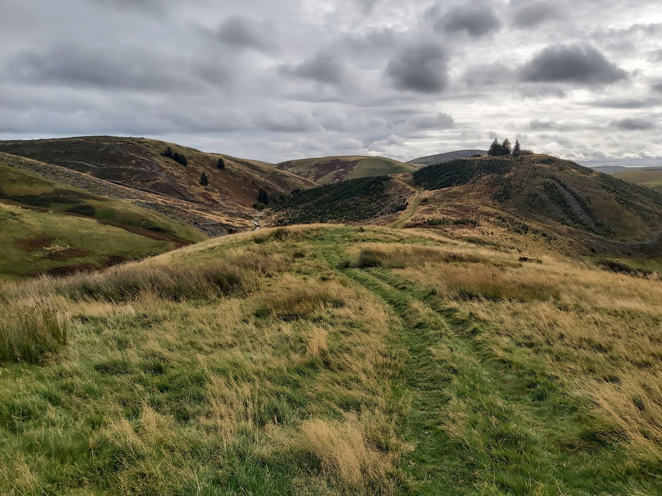
That big hill in the distance is Shillhope Law, but I am glad that is not on the route as my legs are getting pretty tired now.
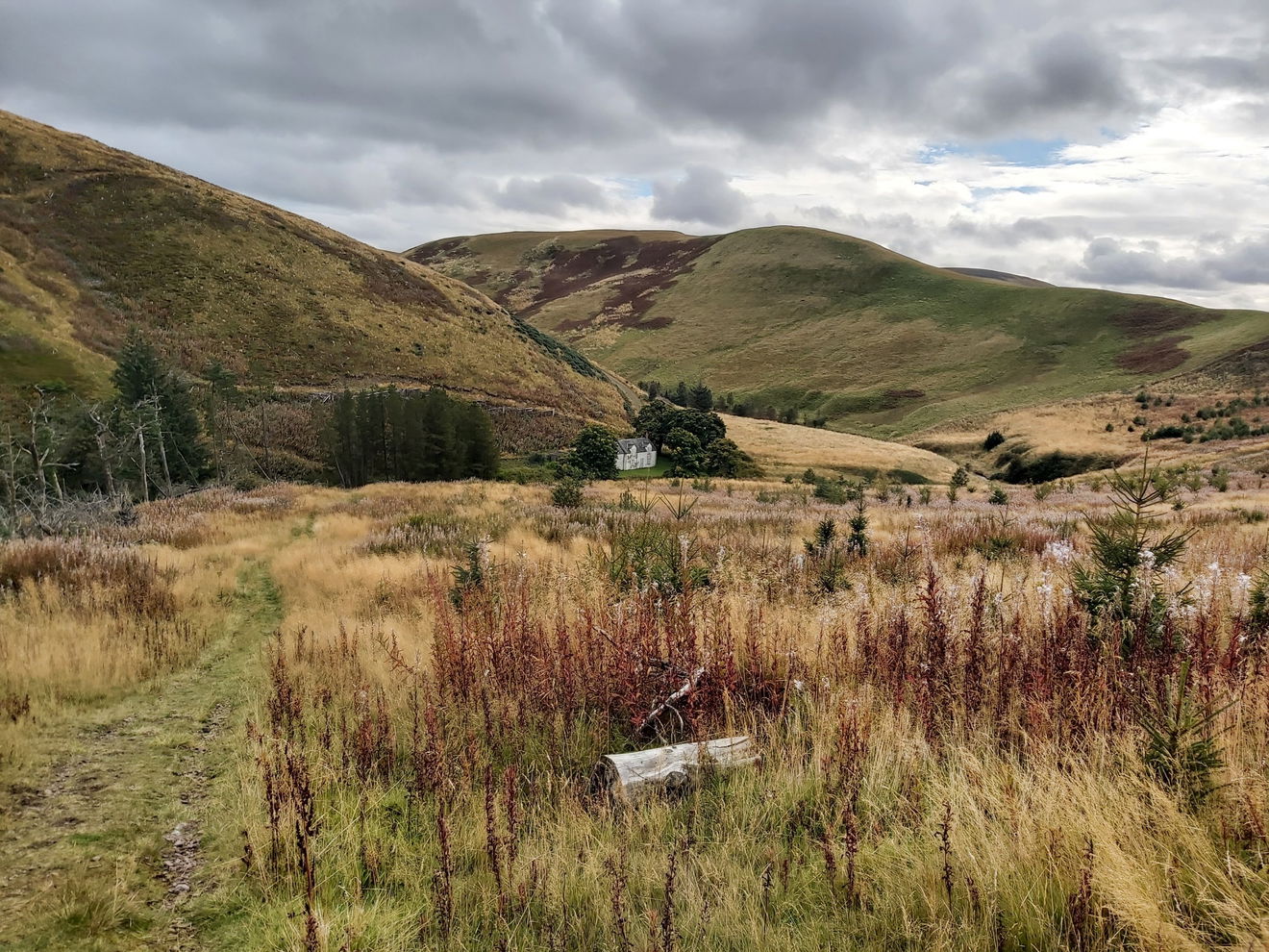
Then I just follow the Usway Burn down lots of pretty little cascades.
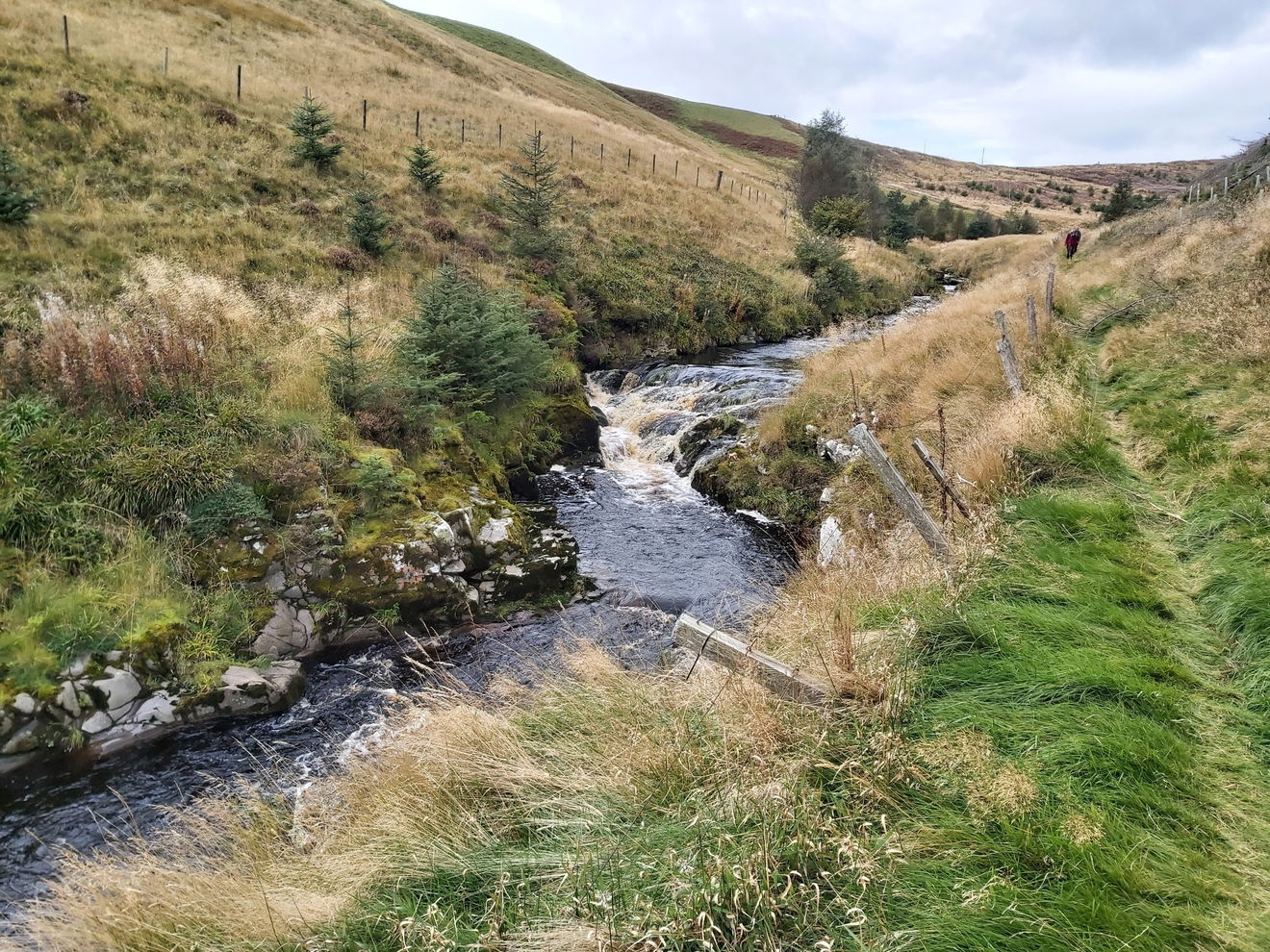


This track spits me out back on the valley floor at the Shillmoor footbridge and so it's now it's around 3km back on the road. In all honesty, my knees appreciate this flat terrain!


Then like an oasis in the desert I can see the finish line at Linbrggs Farm!
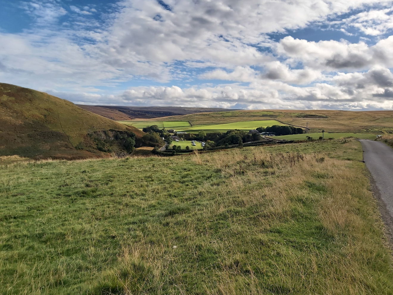
As usual the volunteers at the finish line are awesome, cheering you in and then plying you with jelly babies, cookies and drinks. And a free pair of socks too which I am currently wearing while writing this post!


Within a few minutes another couple of walkers from the 35km route finish and they both look a lot fresher than me, as I am currently collapsed on a tiny camping chair! Taking out the two runners, I'm surprised to find that we're the first three hikers of this distance back in. That deserves another jelly baby to celebrate.
Cheers for joining me on this walk and hope you enjoyed the pics. I ended up doing an extra 1km since I headed up Brownhart Law, Hazely Law and the little diversion near Mozie Law, but came in at around 7 hours.
As usual a big shout out to Shepherds Walks. Once again this challenge was impeccably organised with clear waymarkers all of the way around. And of course a special mention to all the volunteers who cheer you on even when your legs and willpower are breaking.
See you on the next one!
Where to Park For Pennine Way Challenge 2024
Where To Park For Pennine Way Challenge 2024?
What three words
For the walk we parked at Linbriggs Farm and then were bussed to the starting point in Byrness.
Contributed by Simon Hawkins
Thanks for checking out this place on the Fabulous North! I do enjoy a wander out in to the countryside trying to find hidden gems that not many people know about. You can't beat a rogue pele tower up a remote hill, a mysterious stone circle or a stunning waterfall secluded in a forest.
More Walks from Simon
More Places In The Cheviots
Find more fabulous places in The Cheviots, Northumberland and if you know of a place we haven't listed, then let us know.

Tom Tallon's Crag
Crag, Rock And Cairn The Cheviots NorthumberlandA cairn up near Yeavering Bell at the northern end of the Cheviots which has roots in local folklore.

Langlee Crags
Crag, Rock And Cairn The Cheviots NorthumberlandA stunning double headed crag on the north east banks of Hedgehope Hill.

Harthope Linn
Waterfall The Cheviots NorthumberlandA secluded waterfall and plunge pool in the Harthope Valley next to The Cheviot.
Find Us On Facebook
We post all our new places daily on our Facebook Groups page, so join the group today and be notified when we add a new place.
Join Our Facebook Group
