
Yorkshire 3 Peaks Hike
Settle, North Yorkshire
Follow us on a full adventure as we tackle the tackle Pen-y-ghent, Whernside and Ingleborough on the Yorkshire 3 Peaks challenge.
Distance - 39km (24 miles)
Ascent - 1,585m
Duration - Approx 10 hours
Terrain - Rocky, gravel and grassy tracks.
Parking - Plenty of parking in Horton-in-Ribblesdale, but get there early. I parked in the Yorkshire Dales National Park Car Park, but there are overflows nearby too. View Parking Map
View Route On OS Map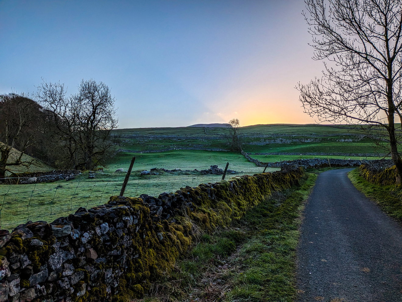
As you might know I love a chunky challenge walk and one that has always been there on the horizon for me is the Yorkshire 3 Peaks. It's one of those where your heart says yes, but your legs say no!
This mega hike takes in the three peaks of Pen-y-ghent (694m), Whernside (736m), and Ingleborough (723m) all contained within the Yorkshire Dales National Park. Covering a whopping distance of 39km (that's 24 miles in old money) and 1,585 metres of ascent, it's not going to be a quick sprint around the block. Having a bit of a mooch online it suggests a time of around 10-12 hours to complete this hike. Challenge accepted!
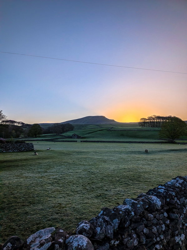
So in April 2026, I decided to give this one a whirl. From my research people suggest starting in Horton-in-Ribblesdale which is right at to the foot of Pen-y-ghent. So with the rucksack packed with a family sized loaf of Fruity Malt and what I thought was enough water, I got in the car at 4am and arrived at the car park at 6:30am, bleary eyed and questioning my life choices!
Now I thought I would be the only person daft enough to be up at this early hour, but there were a few other people milling around the car park in hiking gear, preparing for a full day of suffering.
At least we had a lovely sunrise to start our day! First up was Pen-y-ghent and within one kilometre I was starting my ascent and onto the pavement at the foot of the slopes.
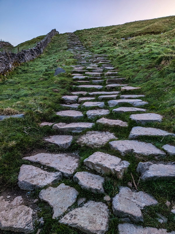
Now coming from hiking in the Cheviots, I am not used to such luxury of having a clear path and solid ground. I continue until I reach a flat track and then the first mountain comes into view. It doesn't look that bad, does it?
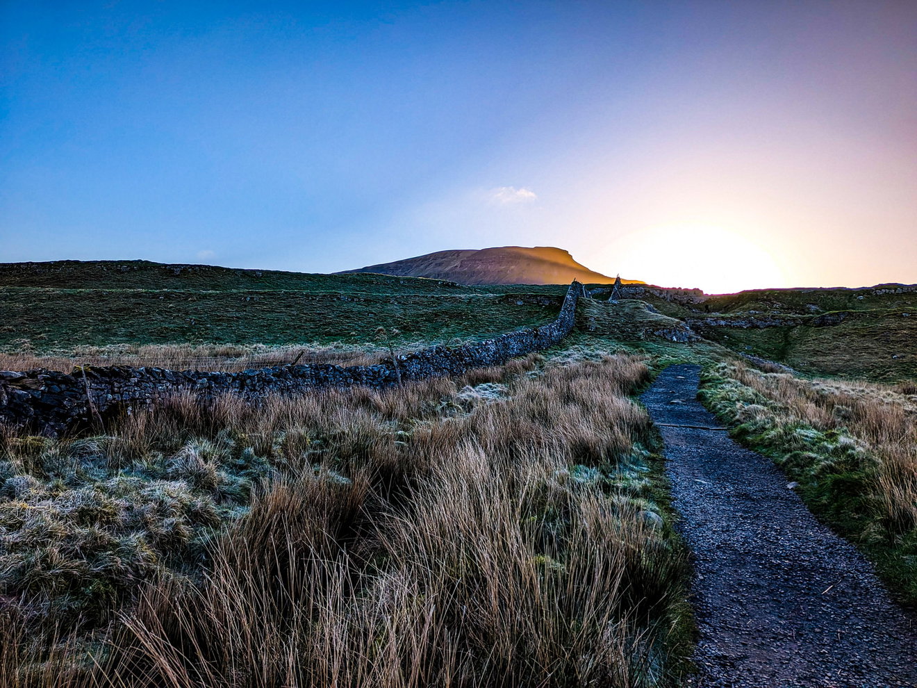
I stop to catch my breath under the guise of taking some photos and have a look over my shoulder to spot another big mountain in the distance.
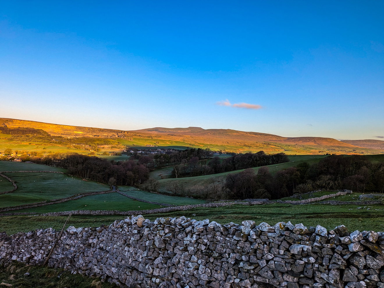
I work out that this flat topped mountain is Ingleborough, the third and last of the peaks I would be tackling today. It looks a canny way away! Back upwards and some little fluffy sheep join me for part of the ascent until I reach the staircase right at the foot of Pen-y-ghent.
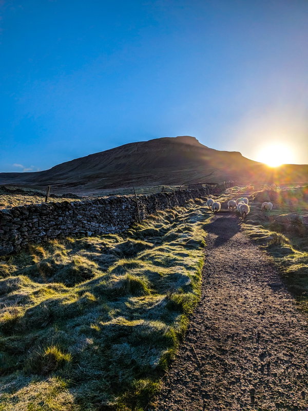
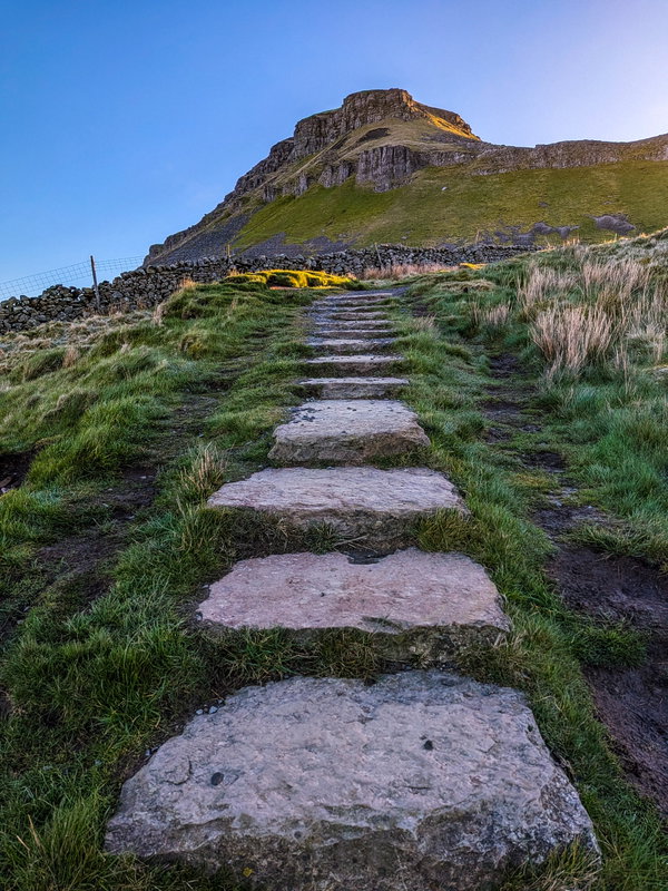
It's at this point that the sun breaks over the top and I get my first proper look at what I am tackling first. It looks absolutely glorious
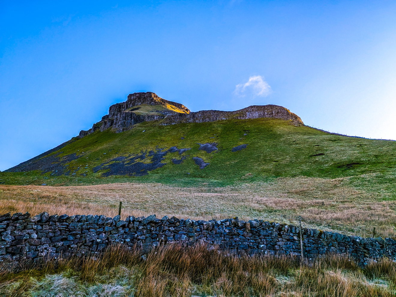
You might think that it isn't that much of a climb, but I have already done around 250m ascent just to get here. Now it's time for a tiny bit of scrambling to reach the summit.
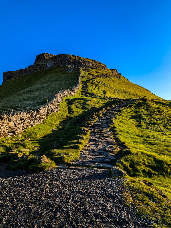
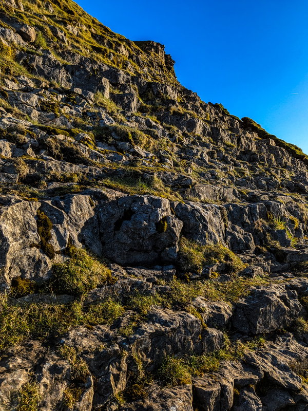
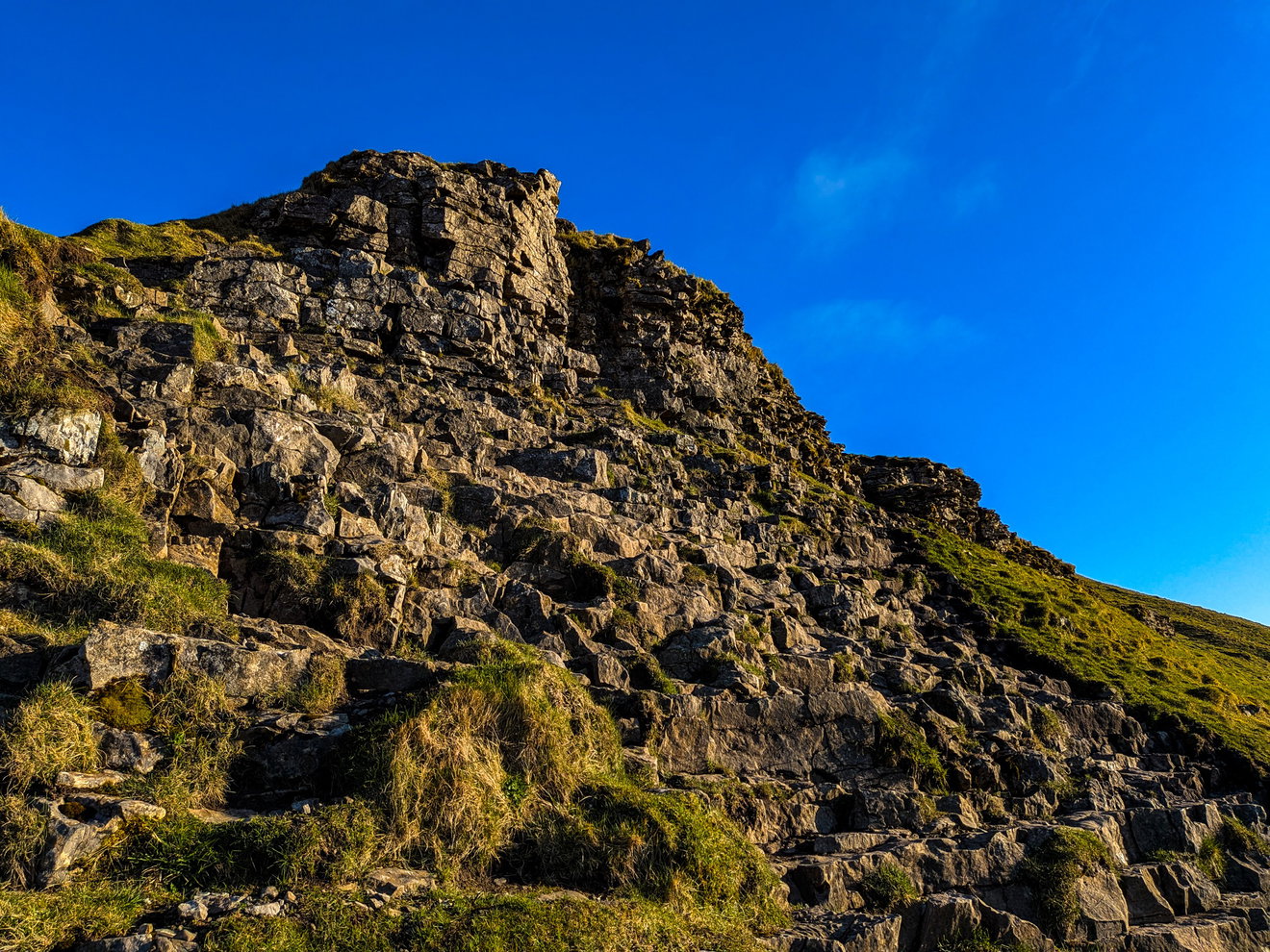
And what a lovely surprise there is waiting at the top.....the Pen-y-ghent trig point!
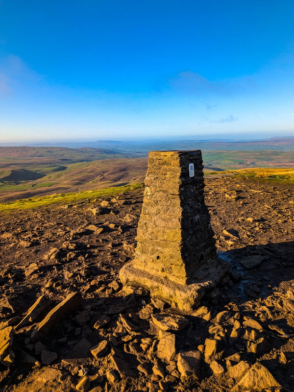
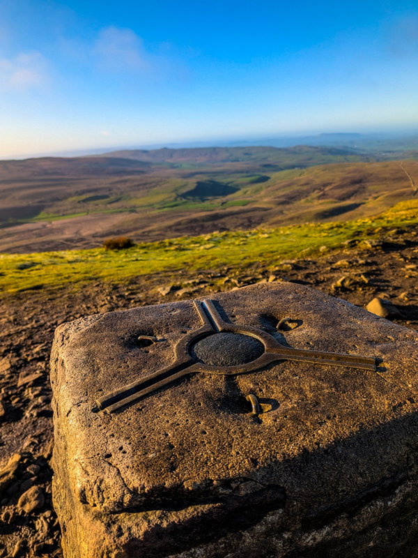
Surprisingly I am not the only one up here. There is a group of people having a coffee and a few individuals having a well earned breakfast snack. Even though it's only 7:15am I decided to break out the Fruity Malt to keep me going for the next section.
I spy the distinctive flat top of Ingleborough in the distance and behind that is Whernside, my next ascent to tackle.
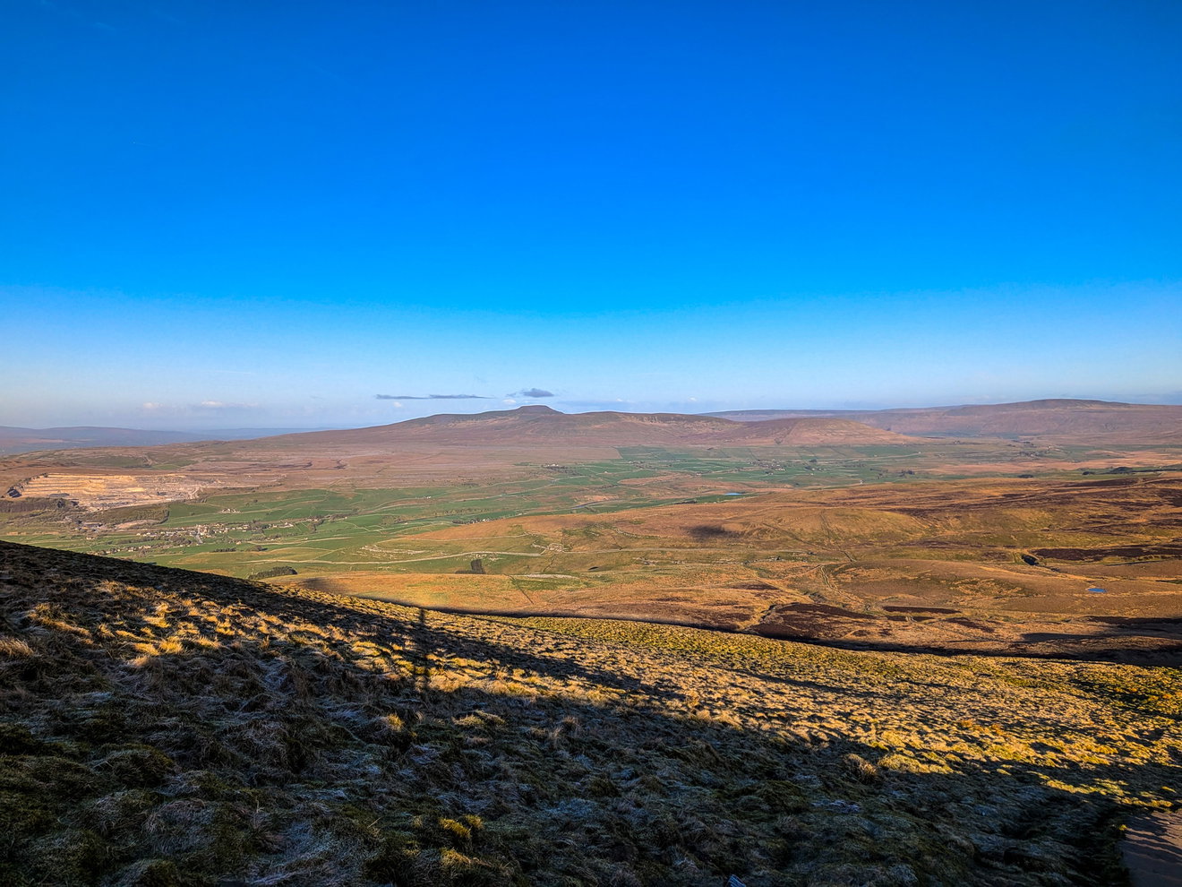
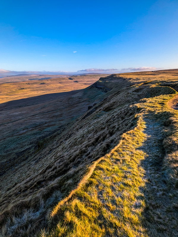
It's a decent 13km walk just to get to the foot of the next mountain however it's mostly on the flat. So time to test the knees on my first descent and I head over this cool little ridge and the path down.
Now even though I should be fully focused on the walk, I found out that there is a place on the Fabulous North to-do list just a short 300m off the track called Hull Pot. And from the slopes of Pen-y-ghent I spied it in the distance.
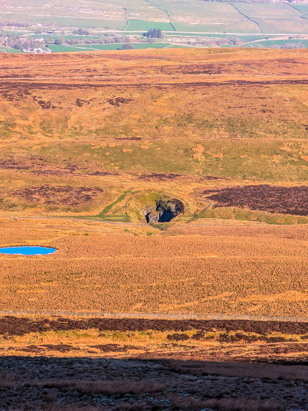
Hull Pot is an immense collapsed cave system that holds the title of England's largest natural hole. Here are some quick stats to prove how big it is. 91 metres long, 18 metres wide and 18 metres deep. But that is not all, during the wet weather water runs off the fells and into the pot creating a magnificent waterfall before vanishing entirely underground.
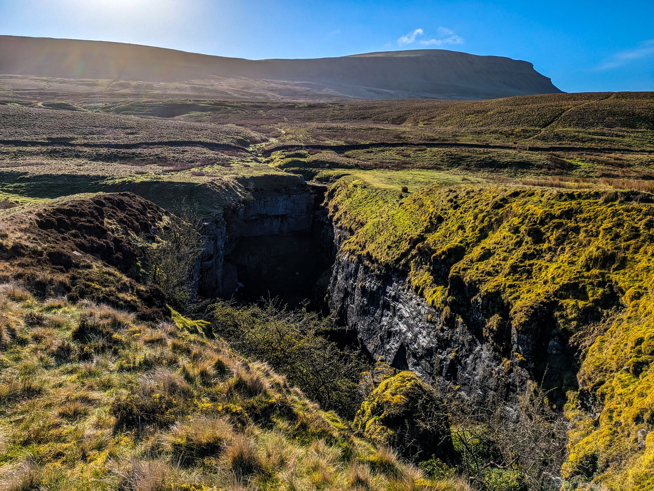
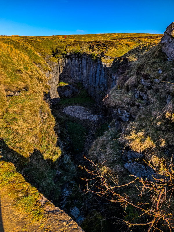
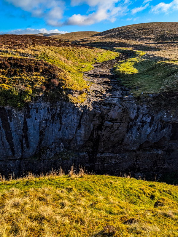
Unfortunately it was bone dry so the waterfall was not in operation, but you can see the path that the water follows. Fortunately I found this photo showing you in all its glory.
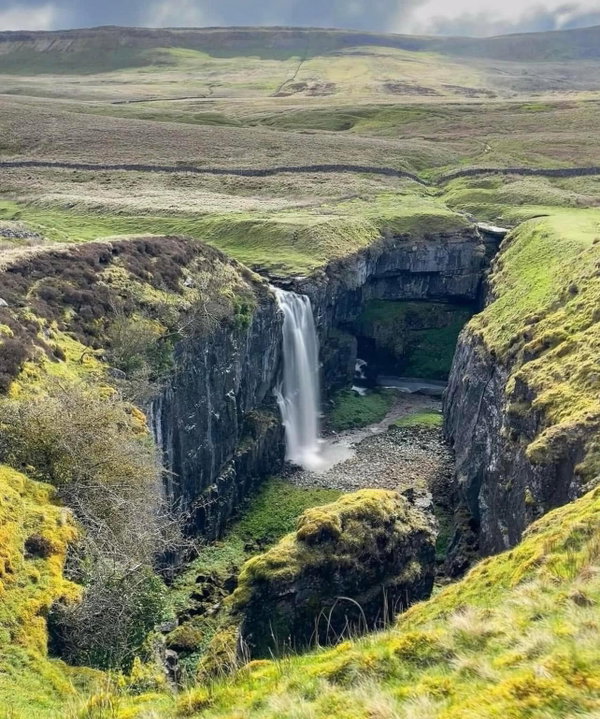 Photo by Brian Stallwood
I have recently found out that during very wet weather it even fills up to the top to become a mini lake!
I have one last look over my shoulder and say bye to Pen-y-ghent.
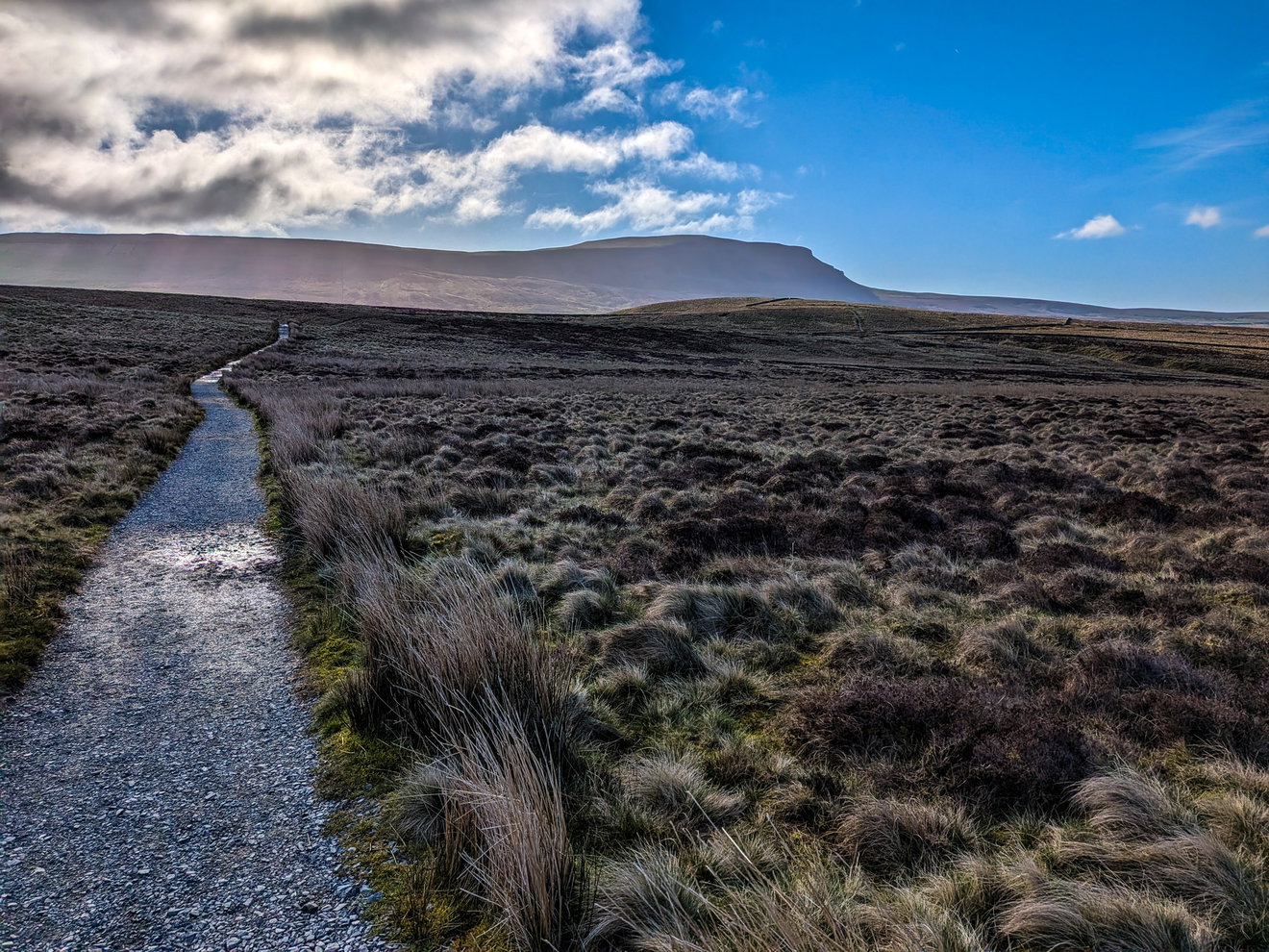
And then I start the long trek over to Whernside waaaaay in the distance.
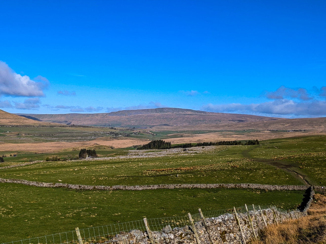
The track here is well maintained and signposted, so no real need for the map, I can just enjoy the scenery and hopefully ignore the impending pain in my legs.
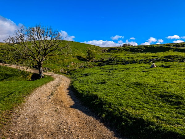
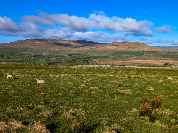
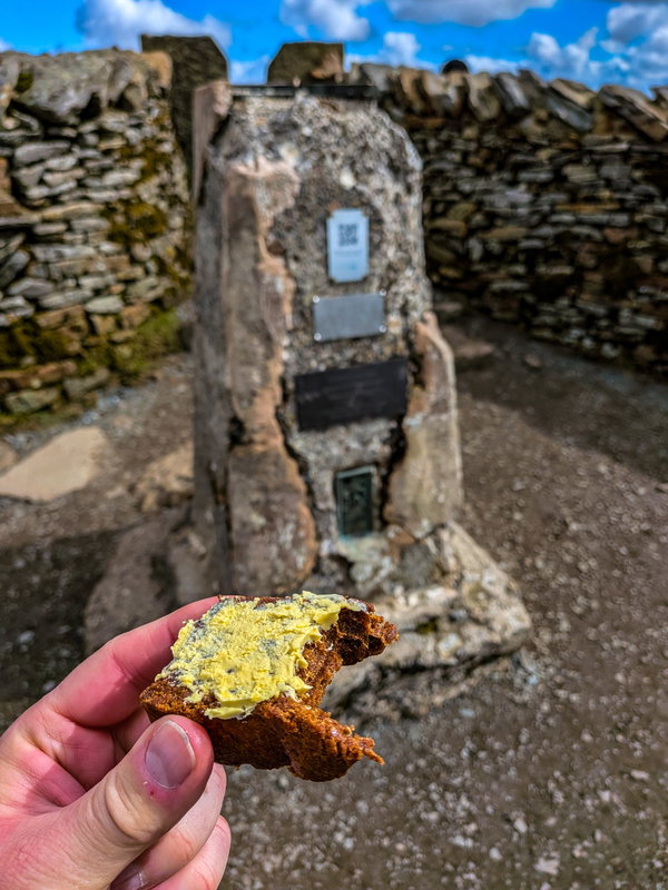
I'm around 11km in now and need to keep the energy up so time for more Fruity Malt. I do bring other stuff to eat, but they aren't as exciting, nor help me in my life goal of getting sponsored by Soreen! I believe that is Ingleborough in the distance.
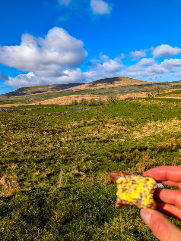
Most people say this is the boring part of the walk, but the scenery is lovely and not having to constantly read a map, or watch where you are stepping allows me to appreciate the surroundings and take a wadge more photos.
I catch up with a group of local lads who are also doing the Yorkshire 3 Peaks. I was trying to get my bearings and was wondering if the nearby mountain in front of Ingleborough was Whernside. But nope, one of the lads informed me that the huge hill right in the distance was it. Yikes!
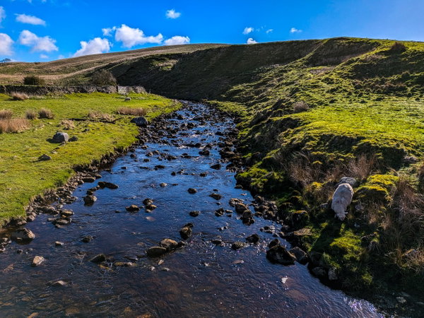
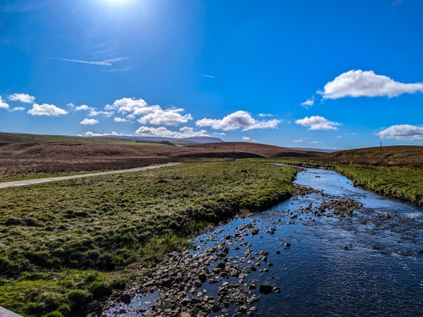
After another hour of walking I finally see the magnificent and welcoming sight of the Ribblehead Viaduct which is at the foot of Whernside. More importantly I see the magnificent and welcoming sight of an ice cream van. I am around 17km in now and a dairy snack before hitting the second ascent of the day would be perfection.
But it wasn't meant to be. I get within 20 metres of the ice cream van and it drives off! Absolute heartbreak. Having a nibble on a limp peanut butter and jam sandwich (see I eat other things than Fruity Malt), I trudge to the bottom of the next mountain.
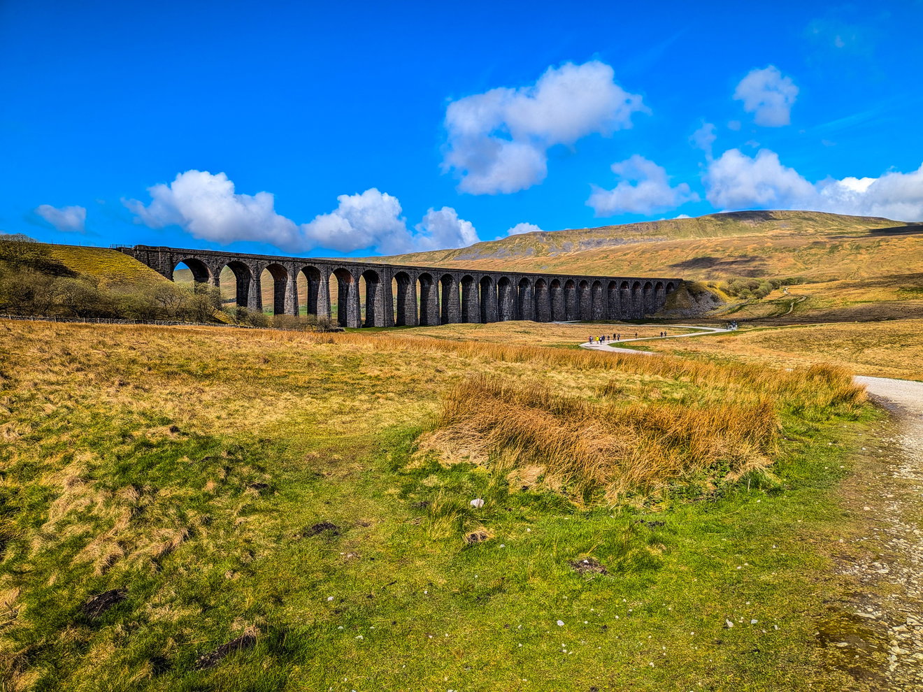
It gets worse. After spending pretty much the entire hike on my own, I am suddenly surrounded by people! It seems Whernside is either a popular starting point for the Yorkshire 3 Peaks, or people are just heading up Whernside as a single climb. Looks like we head around the back of the mountain and ascend from there.
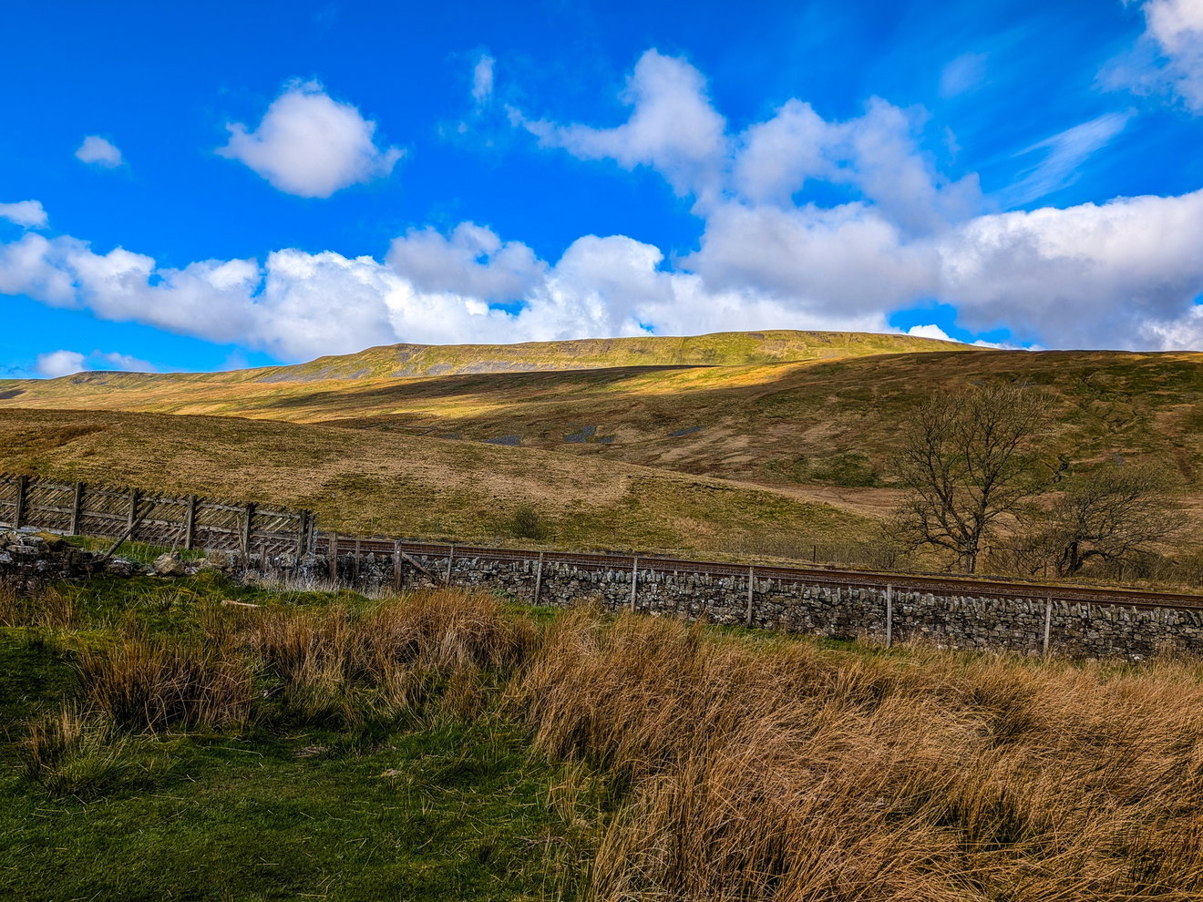
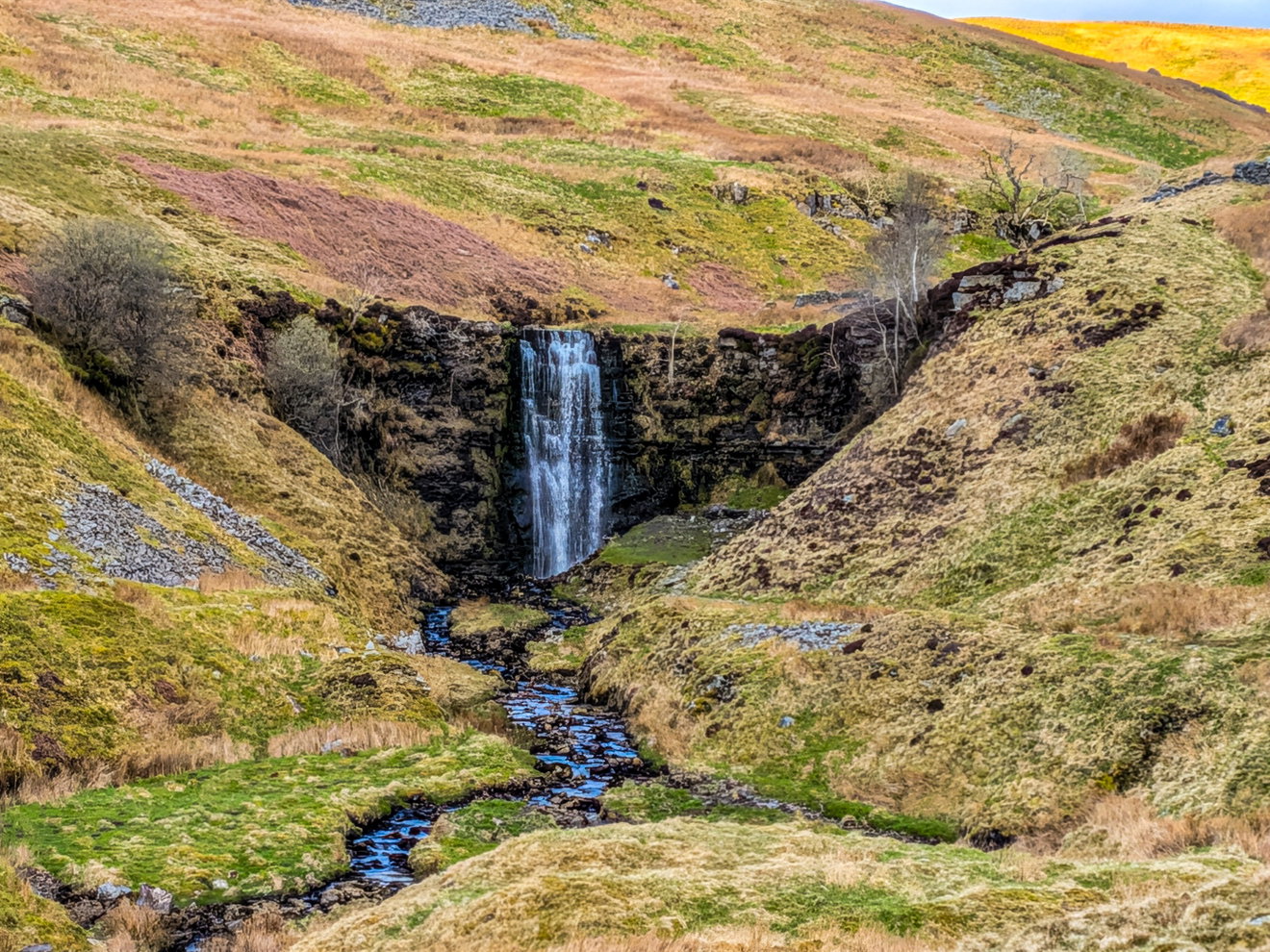
My plan was to take it easy up this slope, but there were too many loud people (I bet you can guess the country!), so I decided to get a wriggle on and lose them. I am hoping I won't regret this later. (spoiler alert, I do!) There is a smashing waterfall just at the start of the ascent too, but if I did a diversion then I would be back in the mix of people. I decide to just take a photo and plod on.
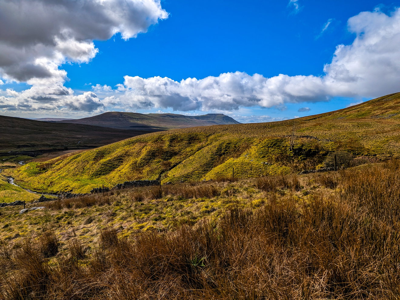
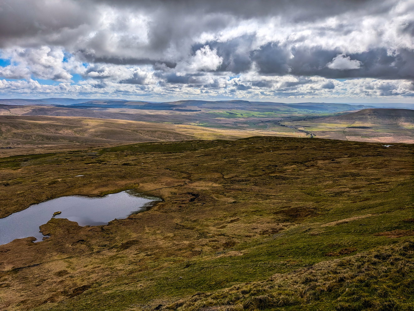
I am halfway up now and get a glorious photo of Ingleborough in the distance which is my third and final hill of the day.
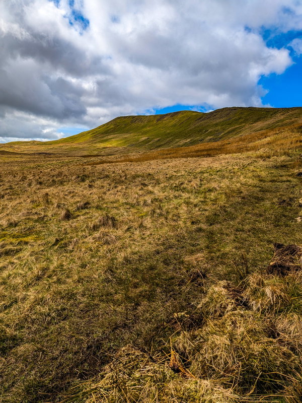
And there in all its glory is the Whernside ridge and the top of this hill.
And there is Pen-y-ghent, where the car is parked....way too far away.
With another quick dash to escape people I finally make it to the top and am greeted with the wonderful sight of the Whernside trig point! Time for another snack. There are too many people up here so I take a quick photo and head away.
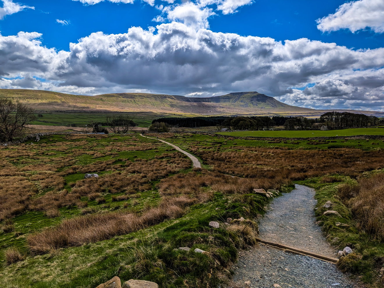
I'm now at 23km in, fully fuelled, two trig points bagged, a big hole in the ground found and time to seek out the next hill. I start my descent and then take this fabulous photo of Ingleborough from across the valley.
Gosh I am now regretting rushing up to the top of Whernside as the long and rocky descent has absolutely destroyed my legs. I head to the bottom of the path and decide to have my first proper rest of the hike. Shoes off, blister sorted and a fresh pair of socks on, then a 10 minute break wondering if my battered legs are going to make up to the top of that.
I head off through the little farming area and I have no idea what has happened to my legs, they are simply wrecked. All that rushing up and battering down Whernside has clearly caught up with me. They are getting stiffer and sorer by the minute and, rather inconveniently, I still have the small matter of getting up and over Ingleborough.
However, there is one little moment of joy. I spy a sign in a barn pointing to a toilet and a vending machine. Topping up my water bladder while emptying my other bladder, then grabbing a protein bar from the machine, has brought a tiny glimmer of hope.
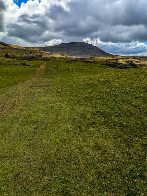
Ingleborough still looks miles away and all gradually uphill. There is no rest now. I am getting nearer, but I can't yet determine how to get up that sheer slope. Then I see some little bits of colour and realise there are people traversing a steep and vertical staircase cut into the rock. This is going to be fun.
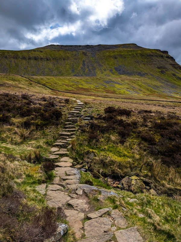
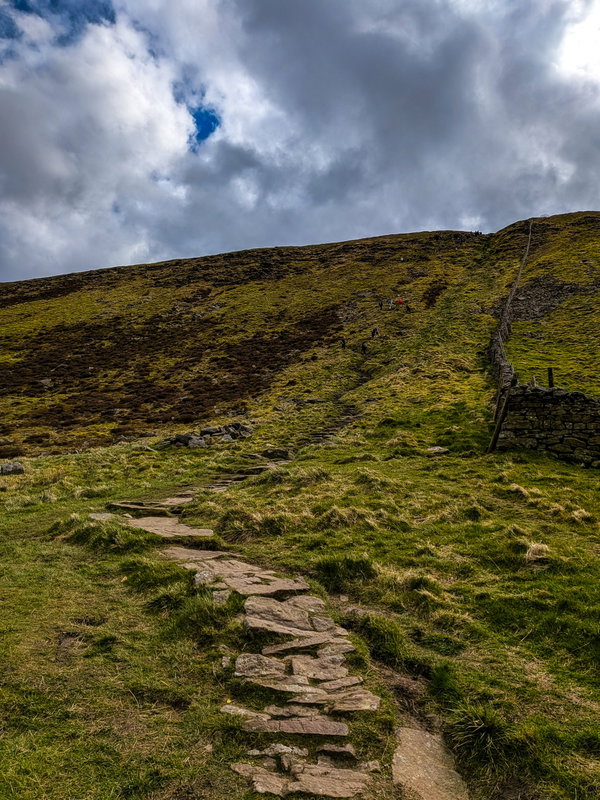
The end is near. Of the ascent, of the hike, of my legs? I'm not sure.
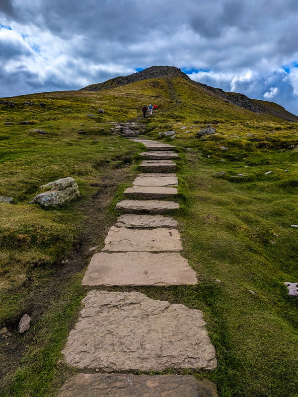
Finally made it the top and of course I have to bag the Ingleborough trig point.
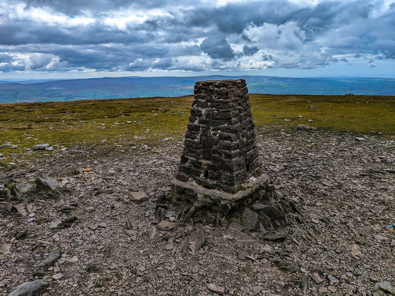
I am so shattered now and wishing I was back at the car, that I don't have the energy to even take a photo with my Fruity Malt at the top. I do manage to take a photo of my leg's nemesis Whernside from across the valley. I am hoping I can appreciate its splendour another day. For now, I am cursing it!
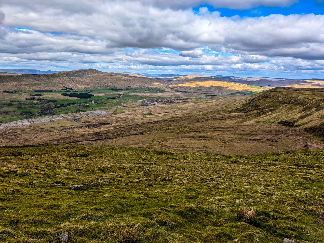
I'm 32km in at this point, legs are gone and I somehow have to muster the strength to get back to the car which is over 8km away. I am potentially regretting my diversion to Hull Pot which added extra distance to the journey.
Fortunately the track back looks like a nice solid pavement.
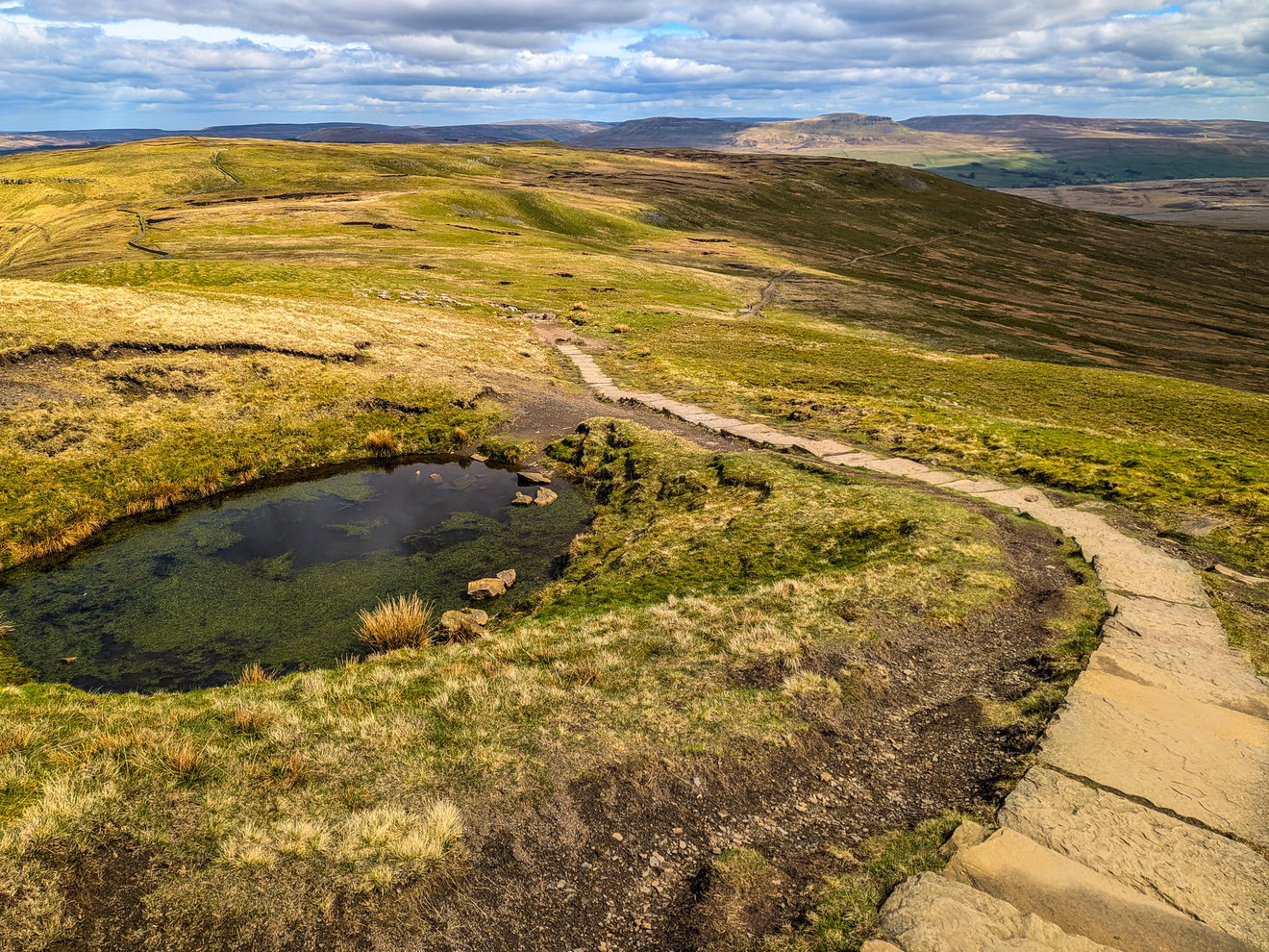
Boy was I mistaken! The majority of the 8km back to the car was on rocky, uneven surface, where I had to carefully pick my way over the uneven ground. It was the most horrific part of the walk.
Passing a cairn I wonder if it contains the souls of other hikers who have just given up at this point. And I don't blame them.
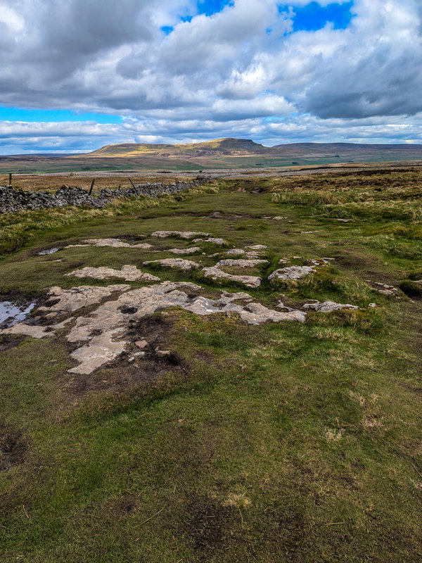
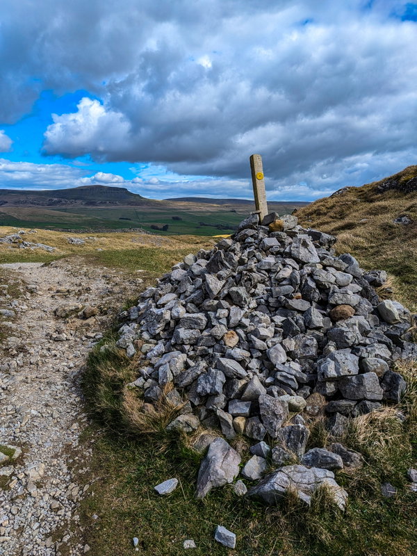
Checking my map I see that I am 3km from the car, but it still seems like an eternity away. I check again 20 mins later and I am 2.8km from the car!!!
I console myself by hoovering up a whole bag of jelly babies.
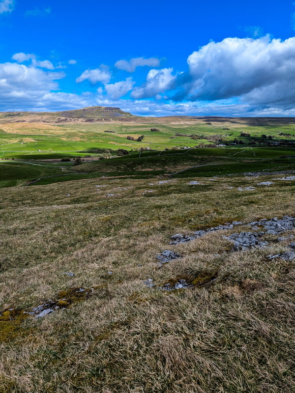
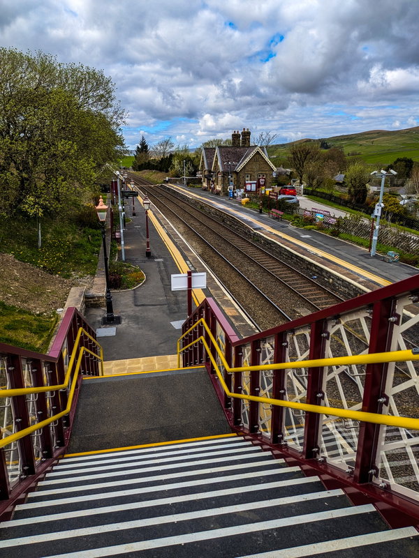
After more trudging I see the wonderful beacon of Horton-in-Ribblesdale and have a 0.4% increase spring in my step. Even the stairs over the railway station seemed like a huge ascent at this point.
Back on the high street I see what looks like the same ice cream van that pied me at the Ribblehead Viaduct. Not sure if it was just an illusion, or not wanting to give them the satisfaction of driving off again, I don't make eye contact and simply stagger past it back to the car.
I'm done. Nearly 55k steps and I ended up doing 41.9km so a couple extra on the original route. There was no way I could even contemplate doing an extra 100m in the car park to round it up. Car to car time was just under 9 hours and actual walking time was 8 hours and 40 mins. I somehow have managed to do 1,657m of ascent, so an extra 3km and 72m ascent on the advertised route.
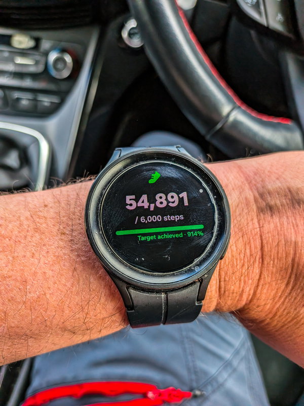
I peel my socks and shoes off, have a change of clothing and now prepare for my two and a half hours car drive back home. I am thoroughly shattered and this was definitely the most difficult walk I have done so far.
On the way back I am certain this was a one and done and I will never do this walk again. Although a few months later writing this, I fancy another bash :)
For those thinking of doing the Yorkshire 3 Peaks, let me impart some advice based on my journey.
Being physically fit will obviously help, but don't underestimate the mental side of it. There will be points where your legs are tired, everything hurts and you still have a bloody great mountain sitting in front of you. Being able to grit your teeth and convince yourself to keep moving is just as important.
That last 8km from Ingleborough back to the start is absolutely soul destroying and everyone I have spoken to since has agreed that it is the worst part. I would suggest starting at the Ribblehead Viaduct, heading straight up Whernside, Ingleborough and getting that horrible 8km out of the way while your legs are fresh. Then leave the long flat meandering bit for last.
Obviously take plenty of food and water ideally with electrolytes. Don't pin your hopes on getting an ice cream!
A change of socks halfway around is glorious and akin to taking your bra off at the end of a long day (so I am told)!
This is mostly on solid ground so a pair of lightweight trail trainers with a thick cushioned sole is probs best.
Good luck!
Where to Park For Yorkshire 3 Peaks
Where To Park For Yorkshire 3 Peaks?
What three words
Plenty of parking in Horton-in-Ribblesdale, but get there early. I parked in the Yorkshire Dales National Park Car Park, but there are overflows nearby too.
Fabulous Places On This Walk
Discover what fabulous places you will find on this walk - Yorkshire 3 Peaks.
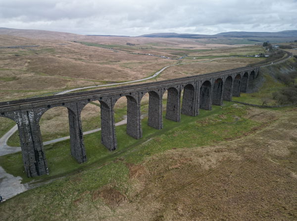
Ribblehead Viaduct
Bridge Settle North YorkshireA 19th century viaduct that spans the valley of Batty Moss in the Yorkshire Dales.
Contributed by Simon Hawkins
Thanks for checking out this place on the Fabulous North! I do enjoy a wander out in to the countryside trying to find hidden gems that not many people know about. You can't beat a rogue pele tower up a remote hill, a mysterious stone circle or a stunning waterfall secluded in a forest.
More Walks from Simon
More Places In Settle
Find more fabulous places in Settle, North Yorkshire and if you know of a place we haven't listed, then let us know.
Ribblehead Viaduct
Bridge Settle North YorkshireA 19th century viaduct that spans the valley of Batty Moss in the Yorkshire Dales.

Find Us On Facebook
We post all our new places daily on our Facebook Groups page, so join the group today and be notified when we add a new place.
Join Our Facebook Group