Blast Beach to Easington Pit Cage Walk
Seaham, County Durham
This zig-zag walk takes you from Blast Beach at Noses Point Seaham to Easington Pit Cage, then back over Beacon Hill and through Hawthorn Dene. It goes down and up beaches, a viaduct, and a trig point.
Distance - 9km (6 miles)
Ascent - 30m
Duration - Approx 2 hours
Terrain - Muddy, grass, rocks and uneven slopes and steps.
Parking - Park at Noses Point car park, although there is a small fee. View Parking Map
View Route On OS MapNot only should you bring your walking boots, I suggest you also take your binoculars for this trek as you should expect fabulous views of North Yorkshire looking south and Sunderland looking north. You may see lighthouses, piers, pill boxes, a wind farm and also a trig point. There is an Edwardian viaduct, a limekiln, a pit cage, and remains of a coastguard station. Surely that has piqued your interest?


If you start at Noses Point there is now a charge to park (April 2024). although if you park at Easington there is no charge. This car park is sometimes closed, but you can park streetside, it is just a bit further to walk. I will be describing this walk from Noses Point to Easington and back. You can do your walk whichever way you prefer, add bits (see the pink highlighted bits for more information), or explore these parts on another day.
Some parts of the walk can be a little precarious, so go canny.
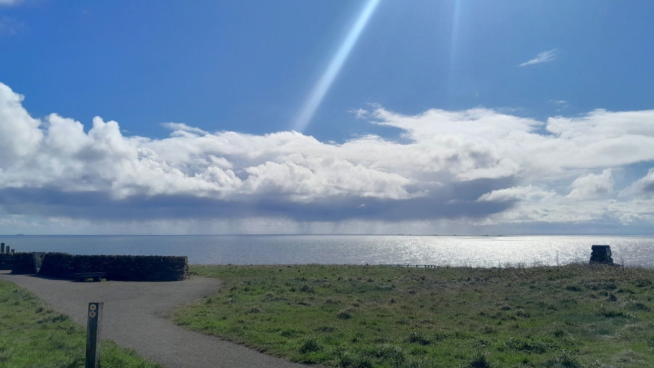
From the car park walk towards the sea and on your right there is a gap in the wooden rail. Take this slope down to Blast Beach which is the remains of an old slag heap. Look back at it from the beach and it is quite imposing along with the pit ledge.
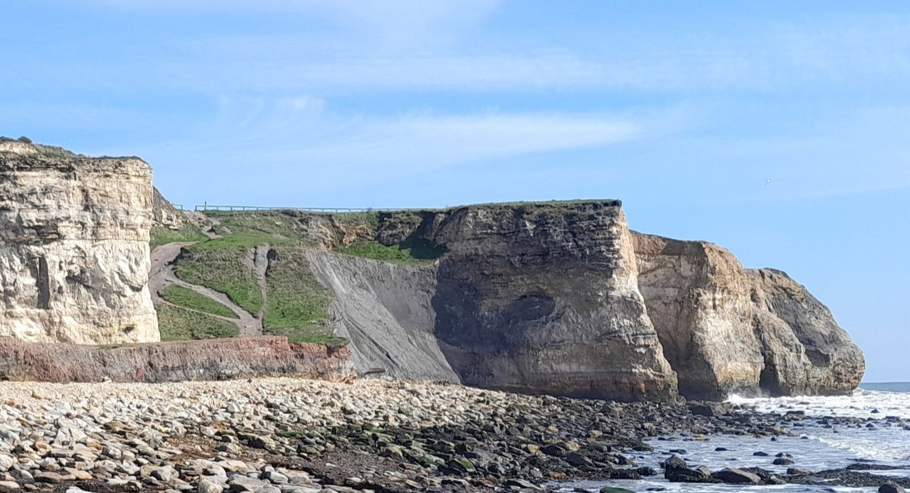
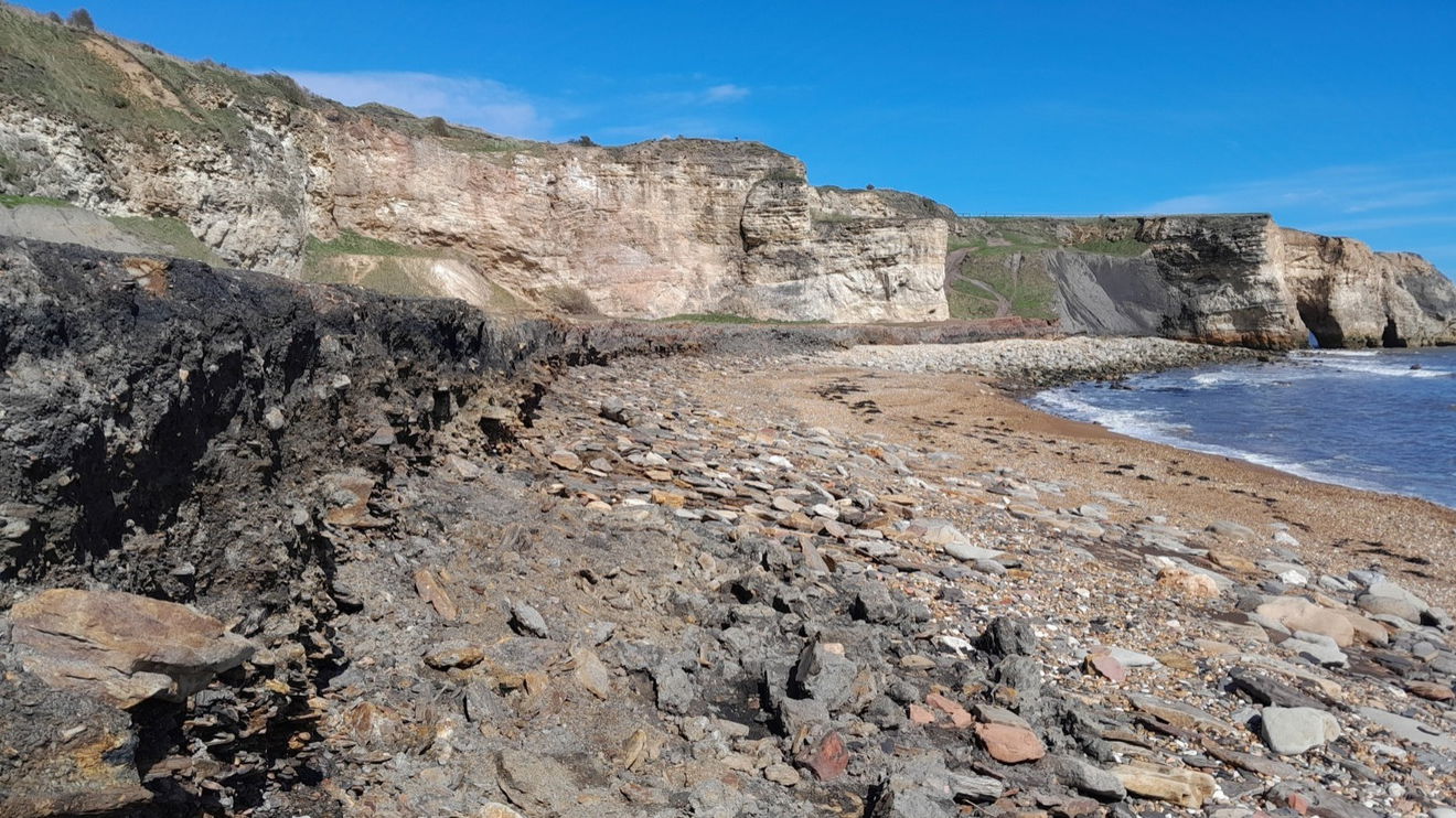
The walk along the stoney beach is pleasing with the sound of the pebbles turning in the tide. There are few reed beds (soaking up the waste mine water I assume). Head for the pill box and Magnesian limestone stack, but before you get to them ascend the stone steps up Frenchmans Cove and look back down.
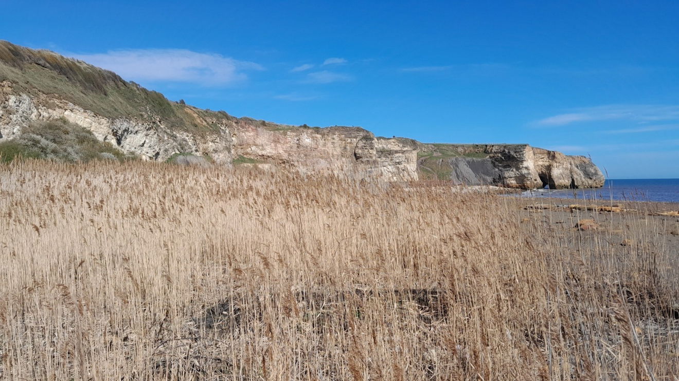


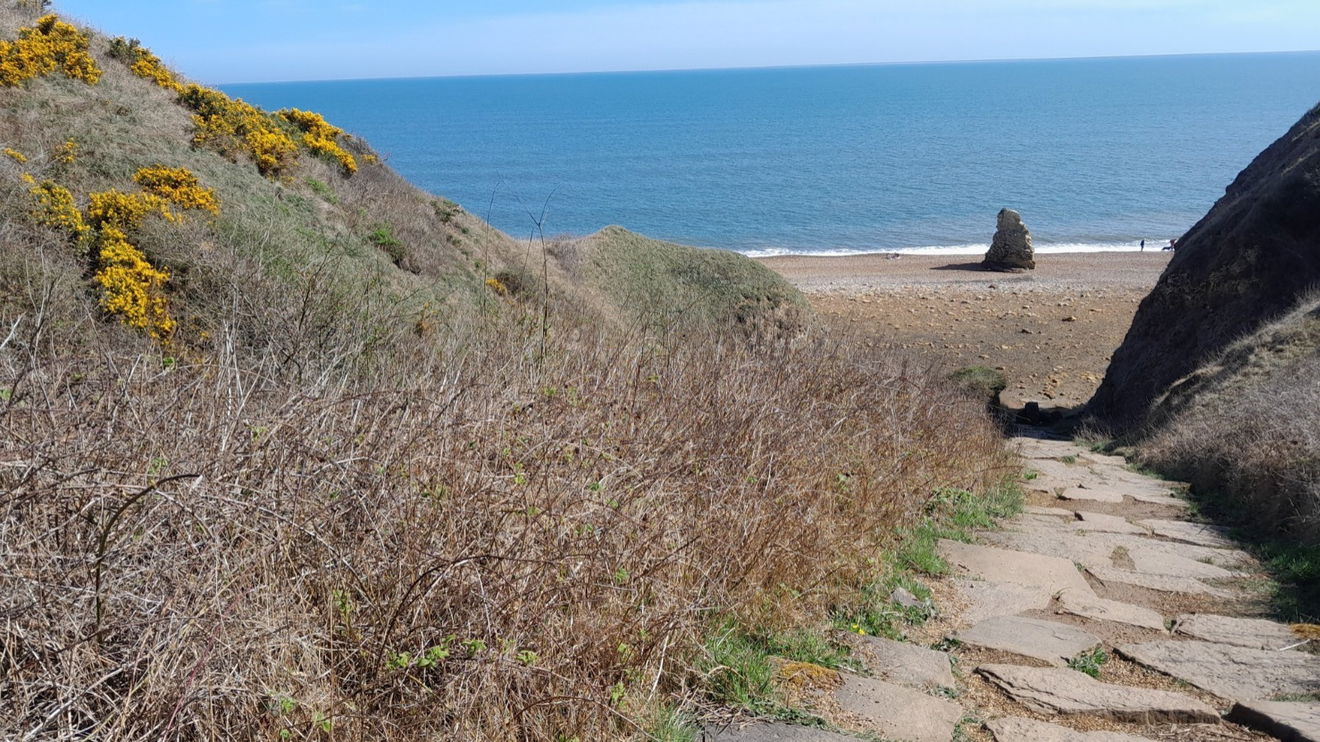
You can walk next to the coast on the Durham Coastal Footpath or take the shorter route alongside the railway track passing a red brick railway bridge that leads into Hawthorn Woods and Meadow. You will come out here on the walk back if you choose to.


By the railway halt covered in ivy (you are not crossing the railway line here) there is a vista of Hawthorn Hive (formerly Hythe) and visitors have created stone art which gets washed away after a while. Taking the route down to the beach the steps are uneven and there is no handrail, so be careful.


On this beach, you head south (so keeping the sea to your left) and there is another pill box (with unfortunate graffiti) and a marvellous Edwardian Viaduct which dates to 1905.
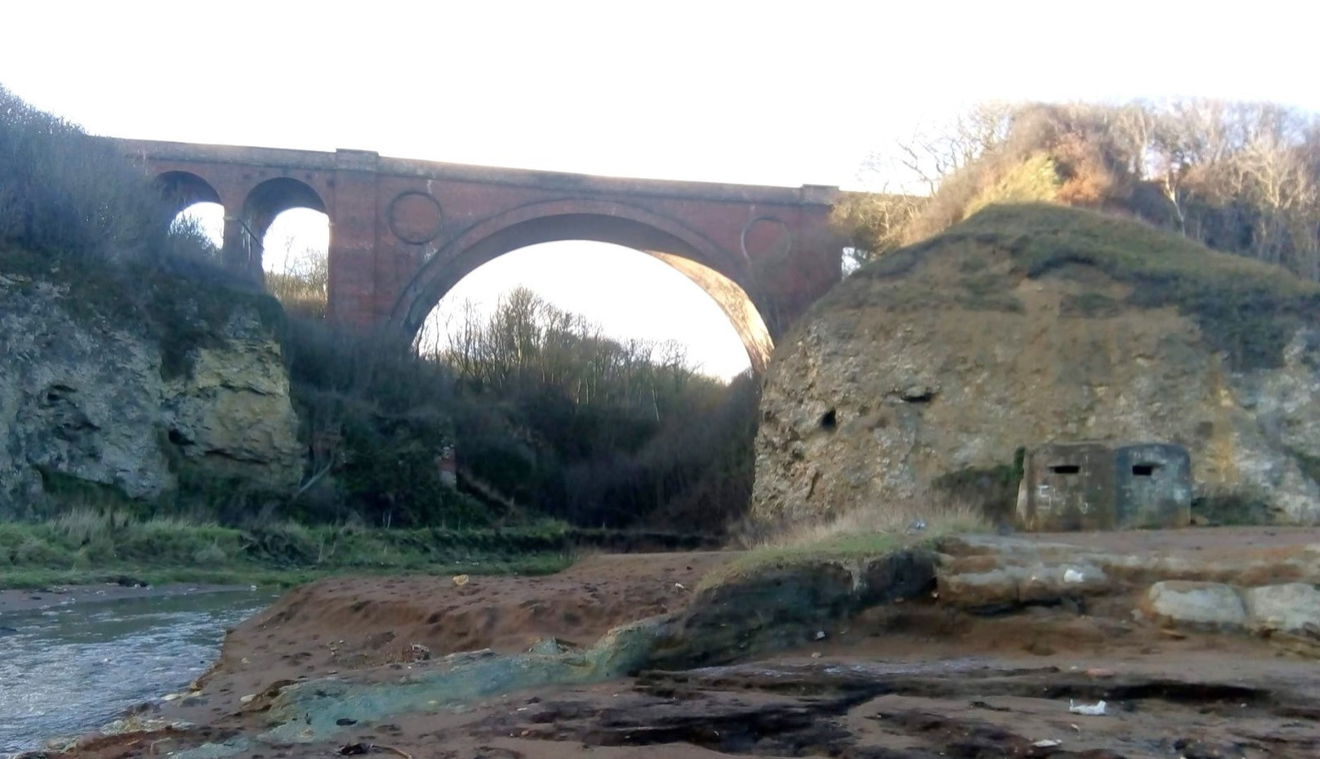
You will need to cross Hawthorn Burn, but you should be able to pick your way over. I have been when it was in full flow and when it was dried out which gives you another angle for photos. There is a lime kiln that has been repaired by The Limestone Landscapes Partnership (yup, there is such an organisation). They had to carry all their equipment from Hawthorn Quarry, up and down those steps.
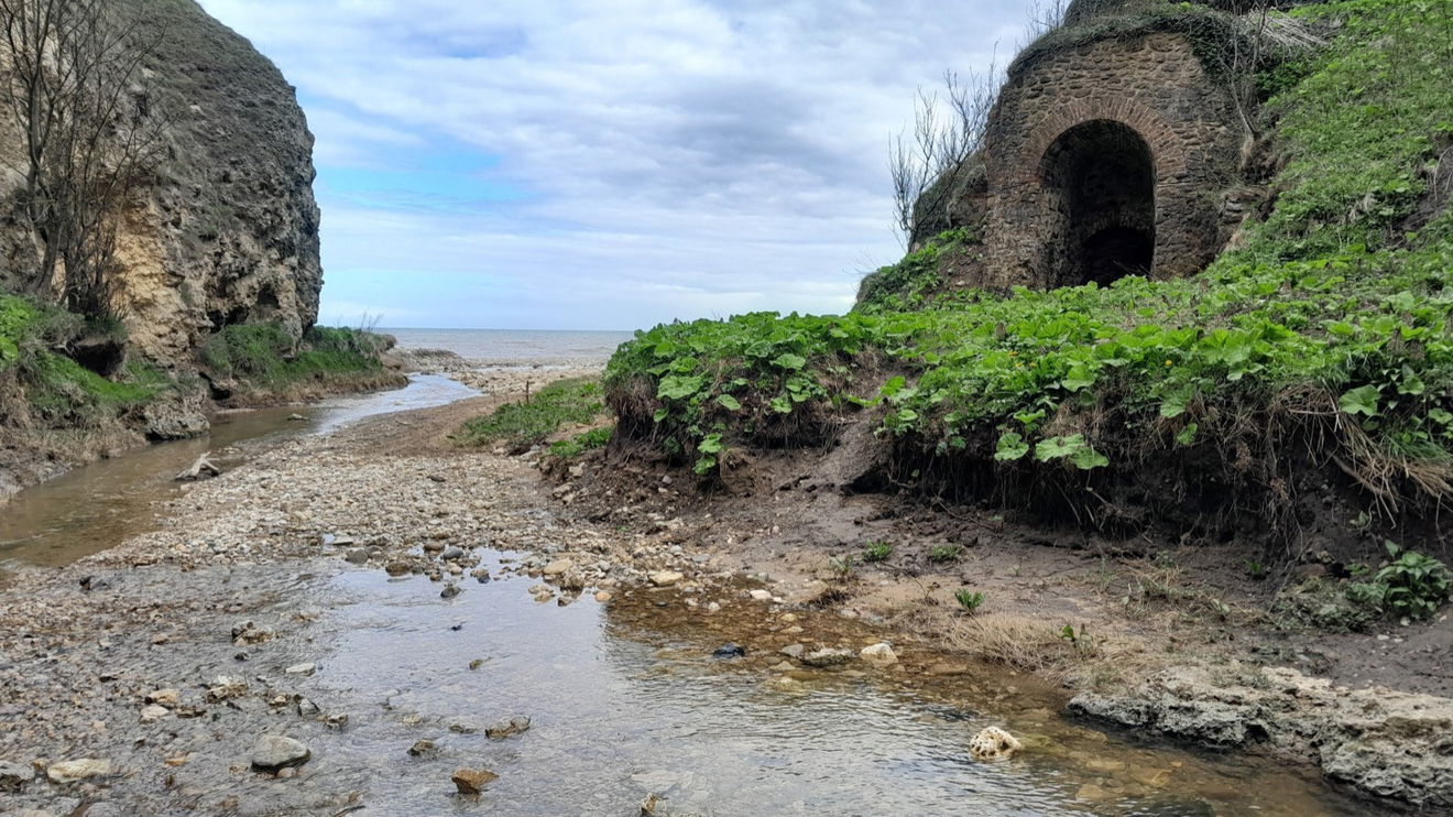
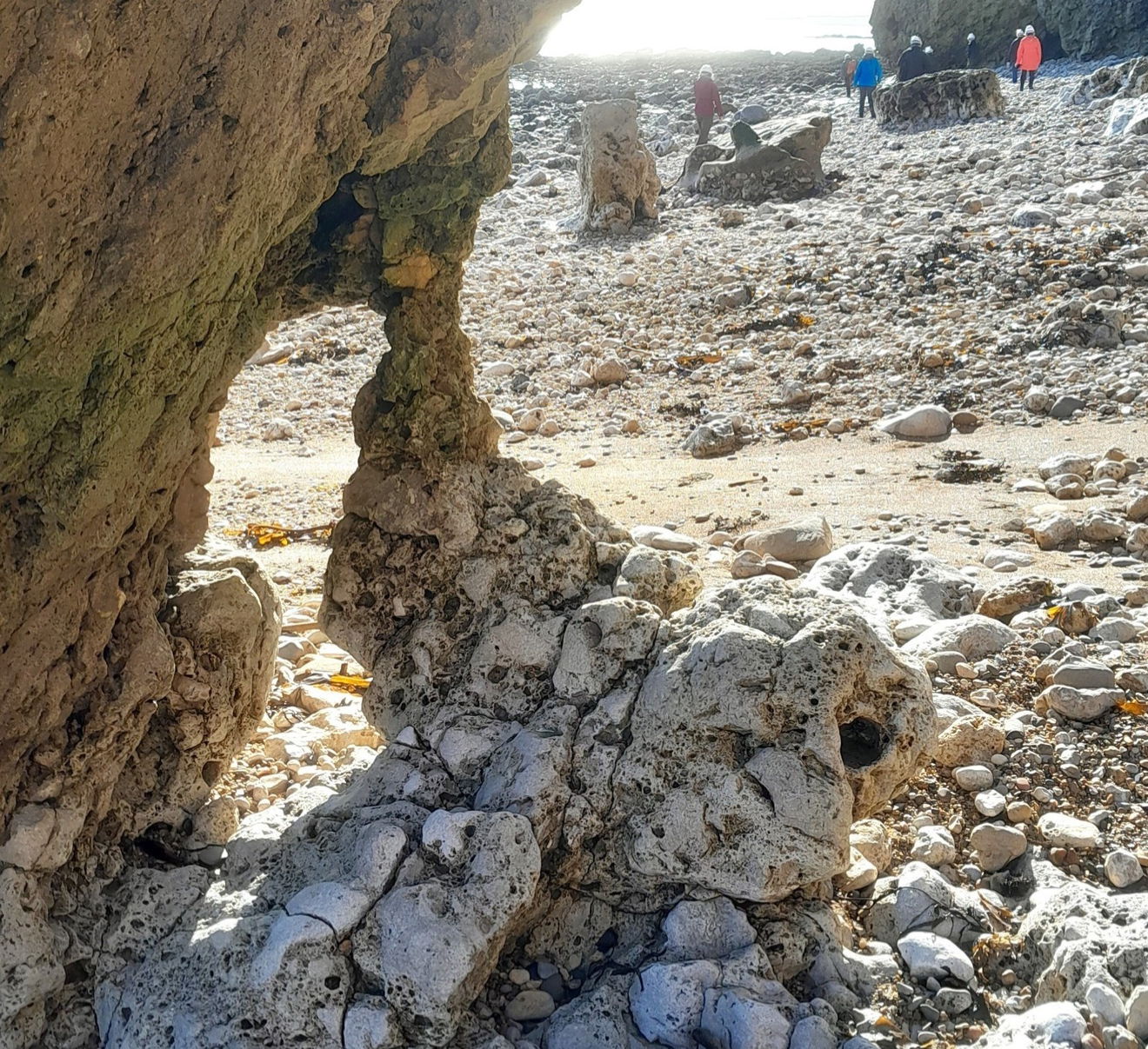
On one of my adventures Seascapes arranged a walk led by Professor Dave Roberts on 'Reading the Rocks'. This was timed specifically to negotiate getting round to Shippersea Bay. The rocks are slippery and very uneven, so watch how you go. Shippersea Bay has a special badge for Easington Raised Beach. This is the most northerly known interglacial beach deposit in England dating back to the Last Glacial Maximum (in the region of 28,000 to 18,000 years ago). Be warned the trek up to it is steep and uneven. Professor Roberts told an anecdote that on one of his visits, someone had decided to set up their tent on this ledge! This is 33 metres above the beach.
If you don't fancy this bit follow the Durham Coastal Path under the viaduct and up and then back under the viaduct.
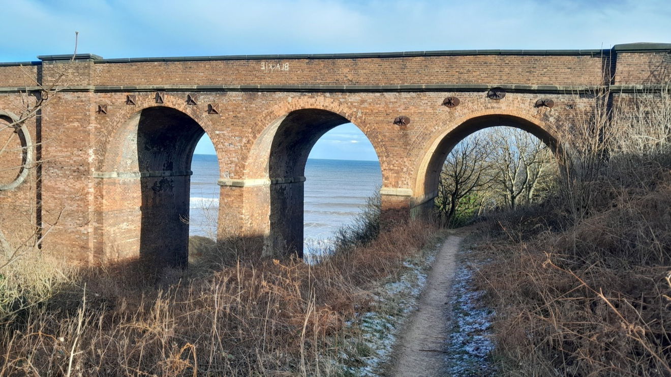


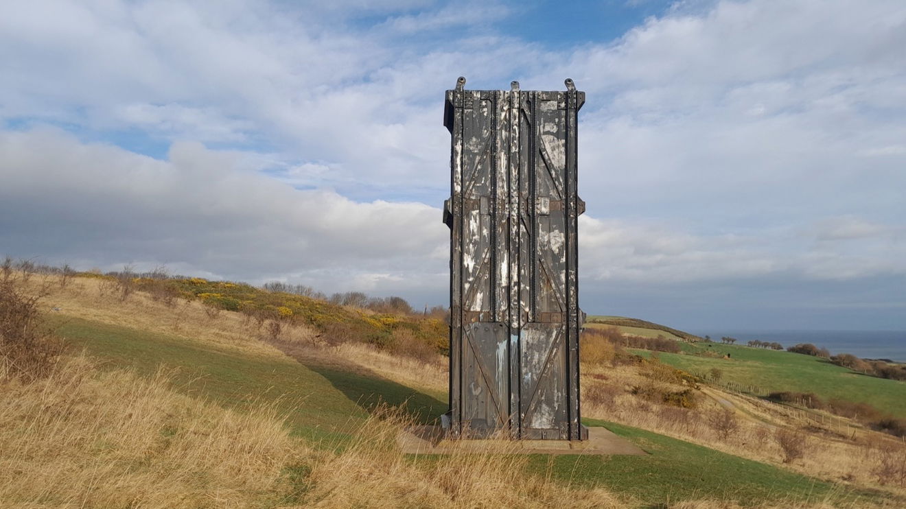
Now it is not far from the Easington Pit Cage. You can follow the Durham Coastal path or the footpath by the railway line.
This monolith is a replica of what the miners used. The area has a wealth of mining heritage and can boast the cover of a Who album. Unfortunately, a mining tragedy happened here and details and other places to explore in the area can be found on the Easington Colliery post.
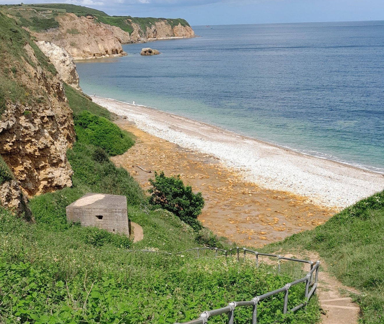
Whilst here it would be rude not to visit the beach and another pill box. You will need to cross the carpark and go under the railway bridge and after about a quarter of a mile look out for the track on the left. As far as I am aware this is the only way up or down to this beach.
So, retrace your steps back but not under the railway bridge. Instead, turn right and walk the track alongside the railway line. We are now heading back to Noses Point.


By following the path alongside the railway line, Beacon Hill is our next destination. It was formed by the last ice age when there was a Barrier Reef in what was known as the Zechstein Sea (now the North Sea and not so warm).
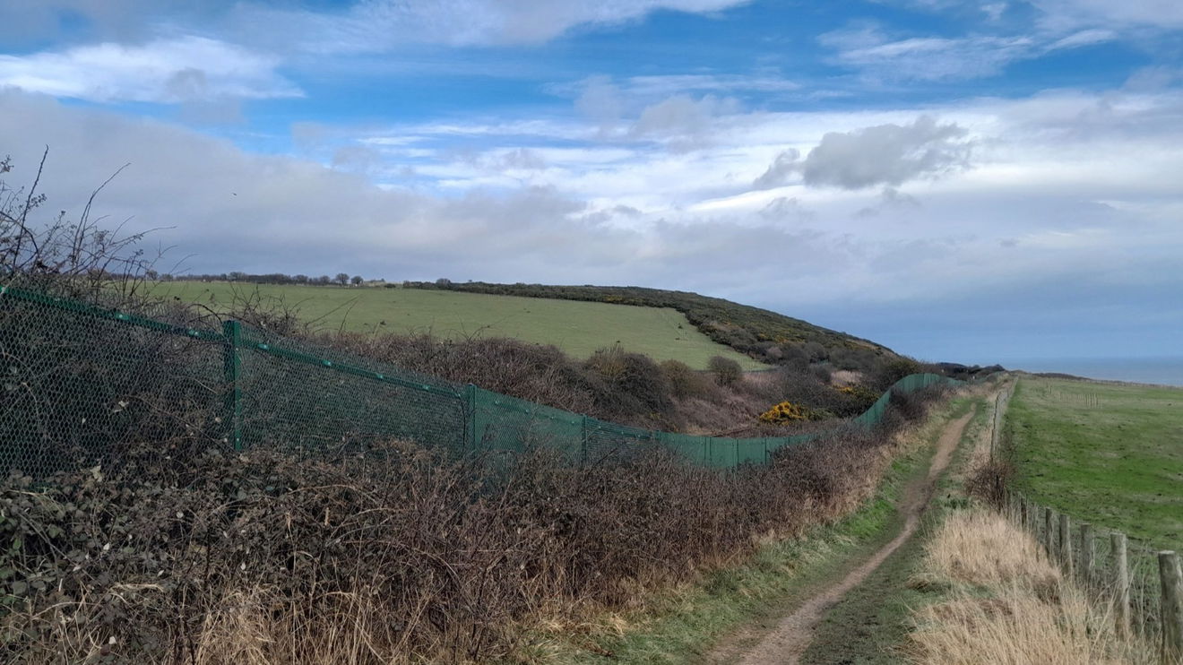
You will be crossing an unmanned/ungated railway crossing. It does have a warning light, so only cross when green and check for yourself that the track is clear.
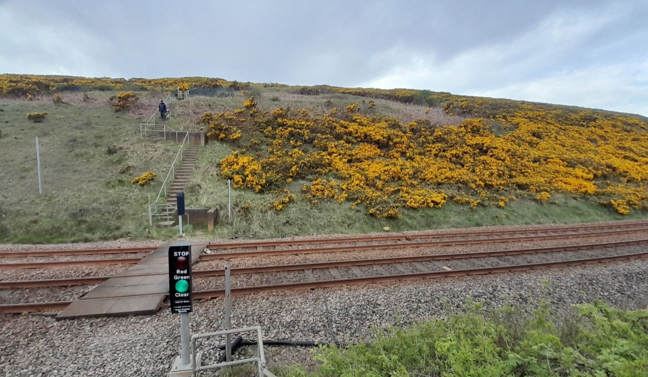
Now the only way is up. There can be livestock about, so be respectful and work your way to the highest point and you will be rewarded with the Beacon Hill Trig Point. This was where a beacon was lit to help boats and ships navigate the treacherous rocky coast.
The view to the south with binoculars may reveal Steetley Pier, Hartlepool, The Tees Wind Farm, and North Yorkshire, maybe Roseberry Topping?
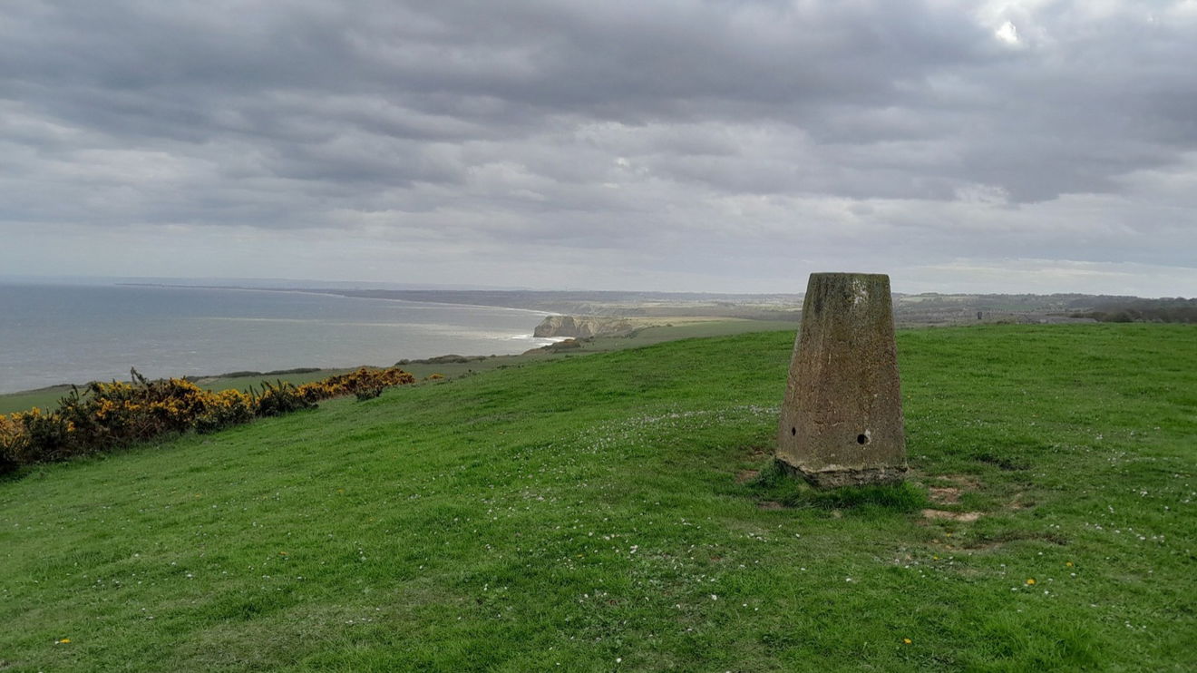
See the viaduct from a distance? You head away from the viaduct and back down through to Hawthorn Dene.

As you walk down through Hawthorn Dene, there are remains of a coastguard station dating from the 18th to 19th century. Although there is not much to see let your imagination take you back to the days when shipping was king.
Hawthorn Hythe (Hive) is a small bay with a treacherous reef called The Skaw. The legends about it are heroic. Here is just one example from A Topographical Dictionary of England (1848).
On the 5th of November, 1824, not less than 50 vessels perished in a storm immediately off this part, and the crews of all were lost, with the exception of the crew of one only, who were enabled to effect their escape by means of a rope, thrown from the vessel, and brought to land by a Newfoundland dog belonging to Major Anderson.
Major Anderson lived nearby at Hawthorn Cottage. There was also a structure formerly known as Sailors Hall (1789).
The vessel in the account above was called Dido and had a crew of 14. It was only 30 yards from the shore at Hawthorn Hive, but, it was wrecked between two rocks. Major Anderson and his servants valiantly tried to save the crew. It took several attempts and a lot of encouragement for the Major's Newfoundland dog to retrieve the rope. The servants hauled the ship ashore and the crew were saved. They then appreciated the Major's hospitality at his home.


Head down towards, but not under the viaduct. Instead, take a left turn down some steps and over a footbridge across Hawthorn Burn. Maybe have a game of Poo sticks?
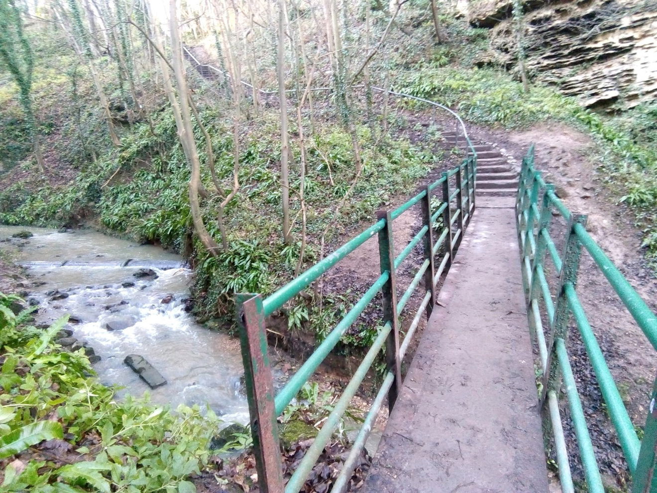
Walking through Hawthorn Dene is a wonder any time of the year, and its namesake is a joy to see in spring or autumn. The meadow holds delights in late spring and summer.
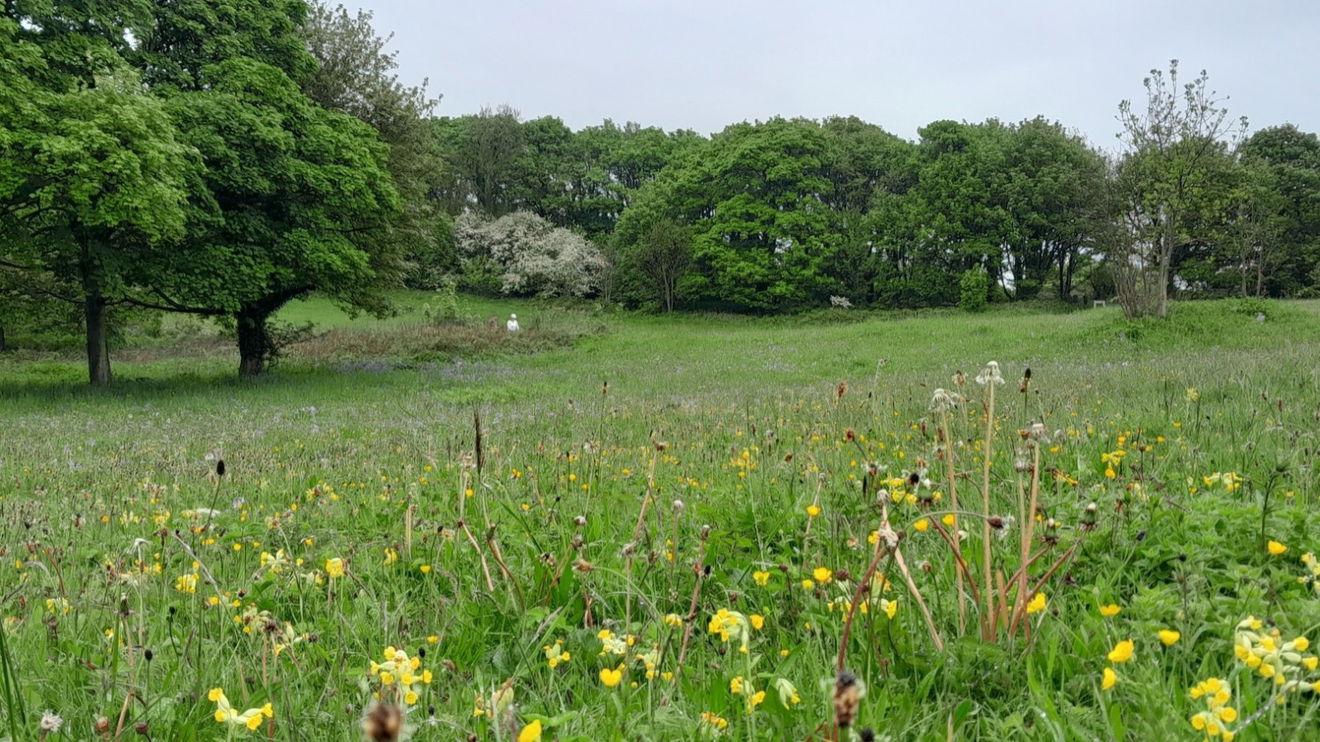
Head across the meadow and through the metal gate. After a bit, you should spy Seaham Lighthouse in the distance. You will see the red brick railway bridge again and if you want to have a peep at Hawthorn Quarry, keep walking straight or to your left. You have to go back upon yourself and over the red brick bridge to continue the walk.
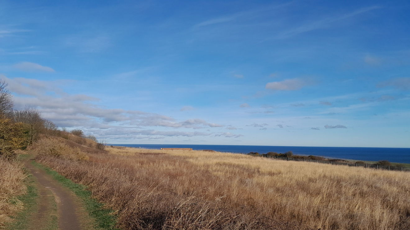


It is now a route march back to the car park. Your views to the north are of Seaham, Sunderland, and further north. Can you spot Roker or Souter Lighthouse? You can take the steps down Frenchmans Cove steps and along the beach.
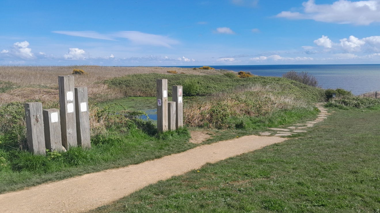
Finally a word of appreciation should go to the Turning the Tide project, which had enabled this coastline to be be traversed.
When back at Noses Point you can choose to explore Chemical Beach which comes with a caveat. The cliffside incline can be muddy and slippery and you have sea defence boulders to climb over. Ensure you go around a low tide, especially if you wish to see the Chaldron wheels. You will then have to take the same route back up.
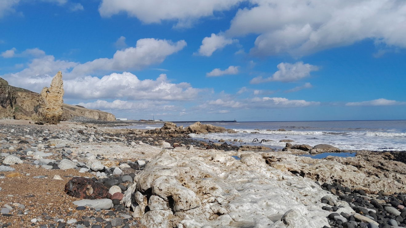
You can always look at The Fabulous North Map of other ideas
Where to Park For Blast Beach To Easington Pit Cage
Where To Park For Blast Beach To Easington Pit Cage?
What three words
Park at Noses Point car park, although there is a small fee.
Fabulous Places On This Walk
Discover what fabulous places you will find on this walk - Blast Beach To Easington Pit Cage.
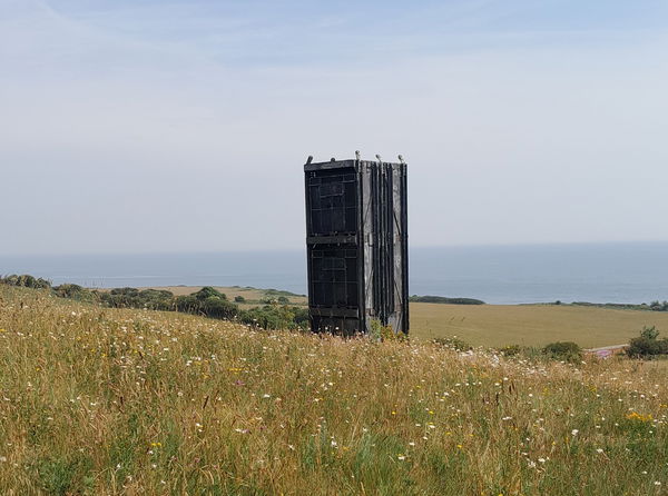
Easington Colliery
Landmark Peterlee County DurhamA town with a nature reserve, memorial garden, cemetry and a reconstructed miners pit cage, celebrating the times of mining in Easington Colliery.
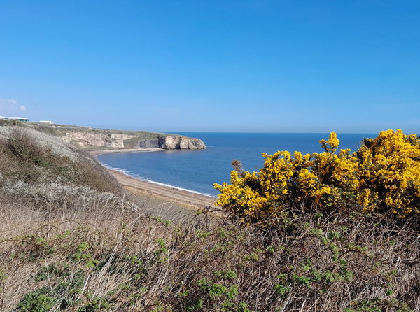
Blast Beach at Nose's Point Seaham
Landscape Seaham County DurhamA coastal success in the Turning of the Tide Project and something for all the senses
Contributed by Rosalind Parker
Thank you for reading. I hope it sparks your interest. It’s always a pleasure to get out and explore, whatever the weather. I enjoy uncovering little snippets of information, especially when they’re obscure, amusing, or meaningful. All photos were taken on a mobile phone.
More Walks from Rosalind
More Places In Seaham
Find more fabulous places in Seaham, County Durham and if you know of a place we haven't listed, then let us know.

Chemical Beach
Landscape Seaham County DurhamA juxaposed scene, with chaldron wheels, industrial remains, and an old jetty against a backdrop of organic appeal.

Murton Cenotaph And Children of Mothers
Statue Seaham County DurhamA serene sculpture by Ray Lonsdale, positioned eloquently by The Cenotaph in Murton, near Seaham.
Beacon Hill North Trig Point
Trig Point Seaham County DurhamThe Beacon Hill North trig point overlooks the North Sea (87m) near Seaham.
Find Us On Facebook
We post all our new places daily on our Facebook Groups page, so join the group today and be notified when we add a new place.
Join Our Facebook Group
