Torness Nuclear Power Station Walkway
Landscape In Dunbar, Borders
An unusual two story concrete walkway that runs around the perimeter of Torness Nuclear Power Station and includes a fenced off pier.
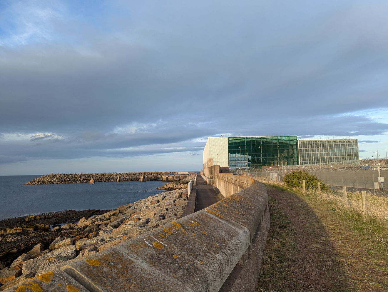
If you have ever traveled along the A1 through East Lothian then chances are you've noticed the large white building looming right by it. That white building is the Torness Nuclear Power Station. What piqued my interest was when examining the OS Map there was a marked right of way on the side of the power station along the coast. The Torness Nuclear Power Station Walkway is a link route for the John Muir Way and coast path and is not your usual coastal walk!
Torness Nuclear Power Station's story began in 1973 when the South of Scotland Electricity Board (SSEB) applied to build a power plant at Torness. There was public inquiry in 1974 and there were mixed opinions about it. The construction of Torness Nuclear Power Station began in 1980 with the first reactor becoming operational in 1987 with electricity generated from 1988. Torness' current operating lifespan is to 2030.
It has been operated by EDF since 2009 and you can apply to go for a free tour of via their website (and it's well worth it when we visited we were lucky enough to see the reactor open during maintenance). Torness is capable of supplying power to over 2 million homes!

There are reasons and advantages to building a Nuclear Power Plant by the coast, most obviously the availability of cold water, an important safety consideration. The walkway itself protrudes an air of the architectural style of the 1980s with its large concrete walls, it's a stark contrast to the expansive views over the North Sea.
The walkway splits into two levels, a lower and upper level. The upper level is designed for bad weather so you can get up out of the way of any waves crashing over the sea defences. The other thing which is apparent is the reassurance of the scale of the sea defences. The concrete sections are large! The sea wall runs for 1,500 metres and a board at the site explains that it was designed to withstand storms of severity expected only once in very 10,000 years. The sea wall also allowed around 22 hectares of foreshore to be reclaimed.
As well as the Lower and Upper walkways, the concrete structure has a wave wall, rock fill situated underneath and earth fill behind. What is also striking as you reach the pier is the huge concrete like crosses which there are hundreds of and I found out are actually called 'Dolos units'.
I also found out they are a type of tetrapod, weighing up to 8 tonnes per unit! The shape and sheer number make for some interesting photographs and I thought looked cool! According to Torness Nuclear Power Station the shape of the 'Dolos units' dissipates wave energy five times as effectively as rock of the same weight. It's good to know they take safety seriously! Another fun fact is that the plural of Dolos is Dolosse and the word itself is derived from the Afrikaans word 'dolos' which means a knucklebone from a sheep or goat which is used in divination or as a toy.
The pier on it's end has a small lighthouse, from here you can see views back across to Skateraw and around the North Sea. When we arrived we had the place to ourselves and there was a real sense of solitude despite the looming monolith behind us. What I noticed when looking at the 'Dolos Units' is that each has a different number on. Apparently they use drones to inspect the units for any structural damage or movement with surveys then conducted to identify the extent of any movement.
The unique number on each one helps to track movement. Dolosses are used around the world for coastal defence, in Florida they are even used as an artificial reef! They were reputedly invented in the 1960s to protect East London's breakwaters.
Aubrey Kruger and Eric Merrifield who are believed to be the inventors of Dolosses wanted to design a cheap block that wouldn't break up when hit by the sea and wouldn't require any precise placement. Merrifield said that he wanted a block designed in such a way it could be "sprinkled like children's jacks". They certainly have the appearance!
The walkway forms part of the John Muir Way Link which runs from Skateraw to Thorntonloch with Torness nestled in the middle. John Muir was a famous early conservation who grew up in Dunbar, Scotland but moved to the United States. Muir wrote about the wildlife he saw and helped to inspire the establishment of National Parks in the United States.
There is also a John Muir Country Park named after him in Dunbar. The John Muir Way itself goes from Helensburgh on the Firth of Clyde to Dunbar, it runs coast to coast and is 134 miles! It was opened in 2014 to mark the 100th anniversary of John Muir's death. You can also visit John Muir's birthplace in Dunbar.
The Torness Nuclear Power Station Walkway may only cover a small stretch of the coast (and the 134 mile John Muir Way!) but it's an interesting walk and something a bit different to explore! The contrast of the natural and the artificial is no more stark than the concrete defences which protrude into the sea.
Get 3 points if you have visited this place. Already visited by 20 VIPs.
Login to the VIP area to add places to your bucket list, mark them as visited and more importantly see where you rank on the league table.
How To Find Torness Nuclear Power Station Walkway
Where Is Torness Nuclear Power Station Walkway?
Lat / Long
55.97193, -2.405647
What three words
Where To Park For Torness Nuclear Power Station Walkway?
Lat / Long
55.971337, -2.421996
What three words
Car Park is available at Skateraw right by the beach.
Contributed by Sean Linley
A keen walker and wildlife enthusiast and dog dad originally from Leeds but a Newcastle resident for 10 years with a passion for history and heritage. Always curious about my local area and always on the lookout for something new. You’ll often find me studying the OS map for new places to explore!
More Places from Sean
More Places In Dunbar
Find more fabulous places in Dunbar, Borders and if you know of a place we haven't listed, then let us know.

Innerwick Castle
Castle Dunbar BordersA 14th century ruined castle in the small village of Innerwick built for Scottish royals.
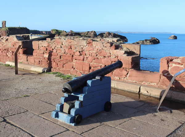
Dunbar Battery
Military Dunbar BordersAn 18th century battery protecting Dunbar Harbour from invasion and privateers.
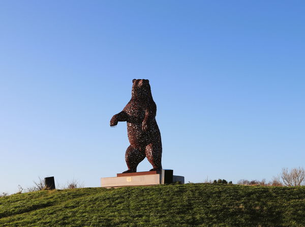
Dunbar Bear - DunBear
Statue Dunbar BordersThe DunBear is a steel sculpture of a brown bear in tribute to John Muir, the Dunbar-born naturalist and conservationist.
More Landscapes
So this landscape wasn't enough and you want more? Don't worry we have you covered.
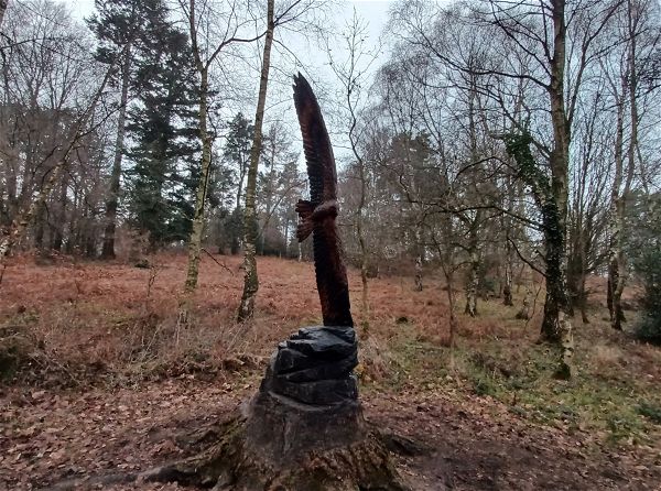
Thornley Woods Sculpture Trail
Landscape Rowlands Gill Tyne And WearA short but sweet 0.8km sculpture trail in Thornley Woods.

Rising Sun Country Park
Landscape Benton Tyne And Wear162 hectare park with ponds, walkways and bird hides.
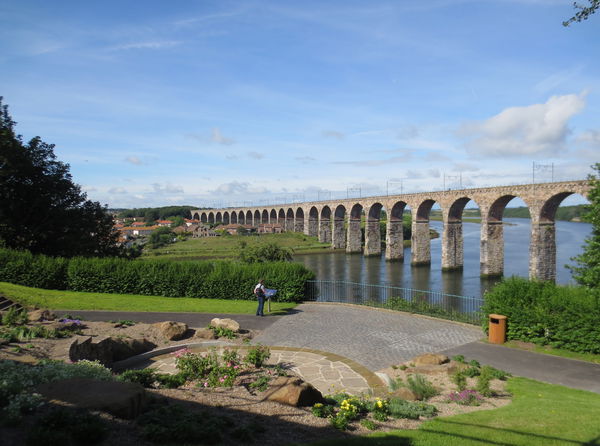
Berwick Parks
Landscape Berwick Upon Tweed NorthumberlandTwo Parks, Castle Vale and Coronation Park, set either side of Berwick Station which include footpaths, shelters, rose gardens and a lily pond.
Never Miss A Fabulous Place
If you are afraid of missing out on all the fabulous places we post, or just want to be the first to know, then sign up to the Fabulous North.
Each week we will email you all the brand new places that we visit.
Sign Up To Alerts

Find Us On Facebook
We post all our new places daily on our Facebook Groups page, so join the group today and be notified when we add a new place.
Join Our Facebook Group