
Humbleton And Harthope Ramble Walk
The Cheviots, Northumberland
A circular Cheviots walk from Wooler taking in Hart Heugh, Cold Law, Careyburn Linn and the Hellpath, with big views and plenty of local history.
Distance - 15km (9 miles)
Ascent - 606m
Duration - Approx 4 hours
Terrain - Grassy terrain, rocky tracks and a bit or tarmac.
Parking - There is a large car park at Wooler Common. View Parking Map
View Route On OS MapThe Humbleton Burn Picnic Area sits just outside Wooler and is a cracking starting point for exploring the northern edge of the Cheviots.
This circular walk heads across Wooler Common to the grassy summit of Hart Heugh, drops into the Harthope Valley and then climbs to Cold Law. From there we'll make our way back towards the Carey Burn, passing Carling Crag before following the burn to Careyburn Linn and tackling the wonderfully named Hellpath.
There's plenty packed into the walk, with big views into the Cheviots, old boundary stones, traces of long-gone settlements, a waterfall and even the remains of a cottage supposedly once occupied by a witch.
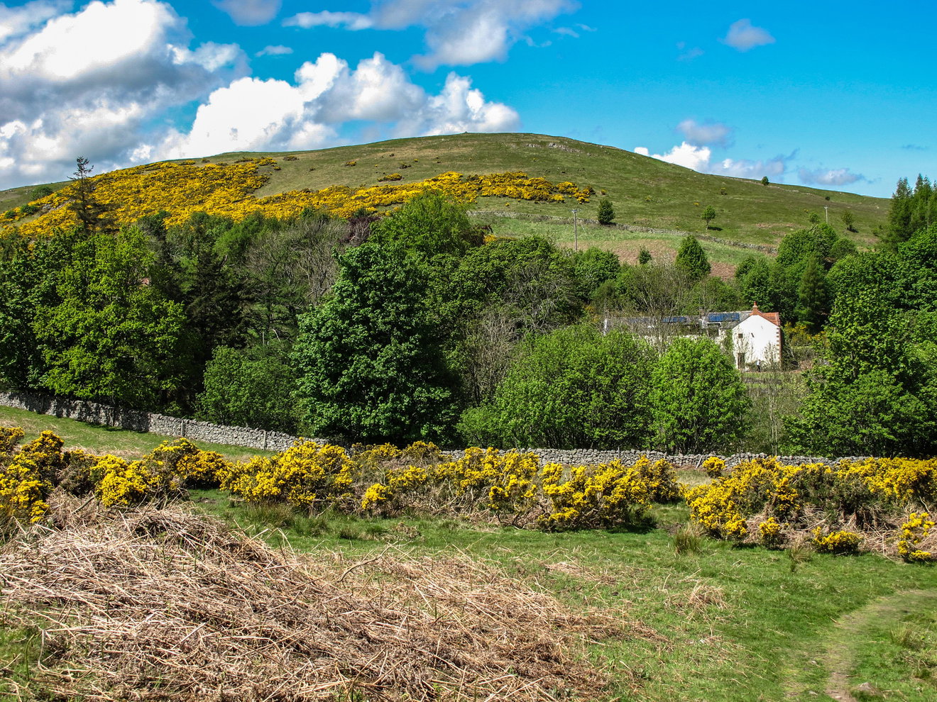
We start at the Humbleton Burn Picnic Area, a peaceful little spot with ponds, paths and a bird feeding area.
It wasn't always quite so peaceful. During the First World War, military targets were raised on the slopes of nearby Brown's Law and soldiers further down the valley would fire towards them. For many years the area was actually marked on maps simply as The Targets.
There's another little bit of history nearby. When W. Ford Robertson wrote Walks from Wooler in 1926, the road bridge across Humbleton Burn hadn't yet been built. Walkers could either use the ford or, if they fancied keeping their feet dry, cross by a nearby footbridge.
Thankfully, we're starting on this side of the burn anyway.
From the picnic area, pick up St Cuthbert's Way towards Wooler Common. The path initially runs close to Humbleton Burn with Kenterdale Hill rising on the other side.
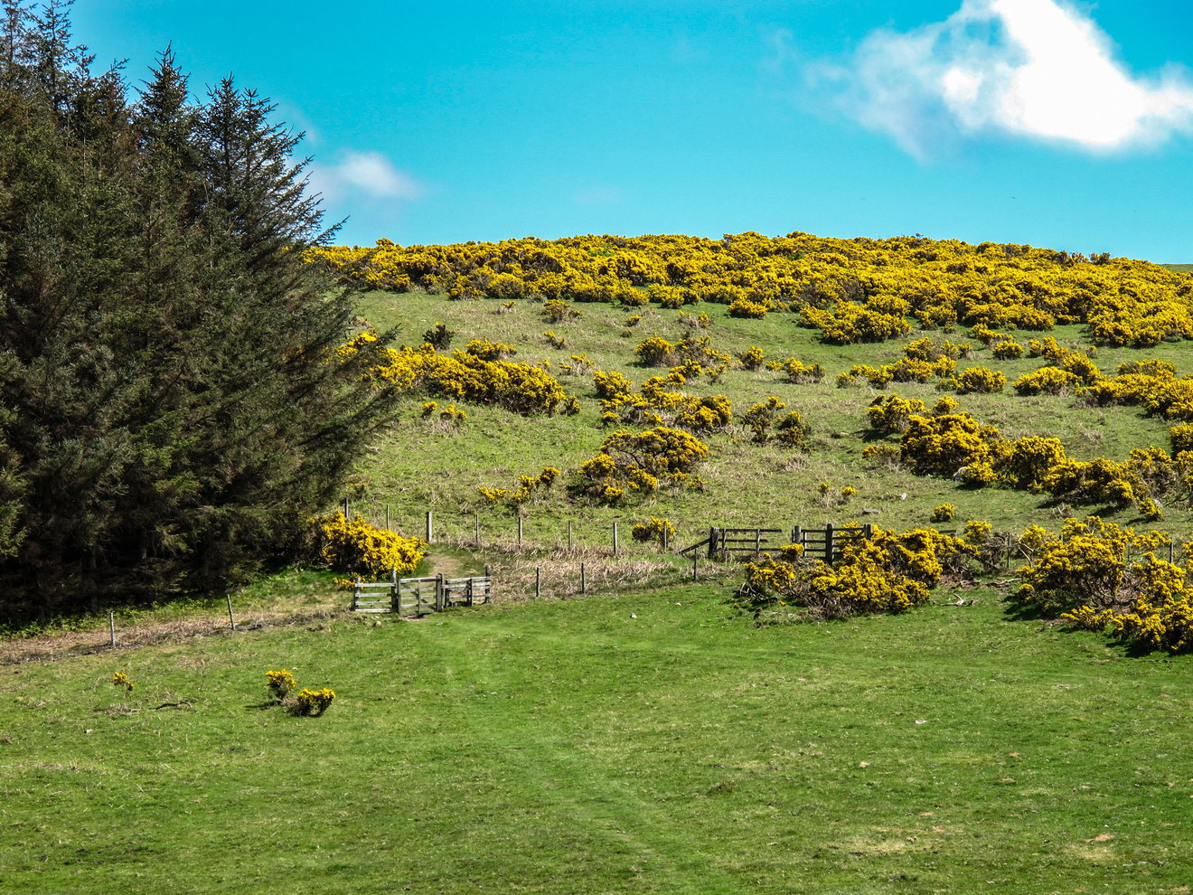
This low section can get pretty wet after rain, so don't expect clean boots for long. As the path climbs onto Wooler Common, the views begin to open up and you'll eventually reach a small group of buildings.
W. Ford Robertson referred to this place as the cottage of Reastead in his 1926 guide. From here we're heading out onto the open moor towards Hart Heugh, with Watch Hill and Fredden Hill also visible nearby.
Hart Heugh
The slopes around Hart Heugh contain the remains of settlements which disappeared a very long time ago, including a Bronze Age burial cairn on the smaller summit.
At just 326 metres, Hart Heugh isn't one of the giants of the Cheviots, but don't let that put you off. The grassy summit has a large sprawling cairn and some surprisingly big views for a relatively modest hill.
It's worth having a wander around the top rather than simply touching the cairn and heading straight back down. From the south western side there are particularly good views over the Carey Burn and deeper into the Cheviots.
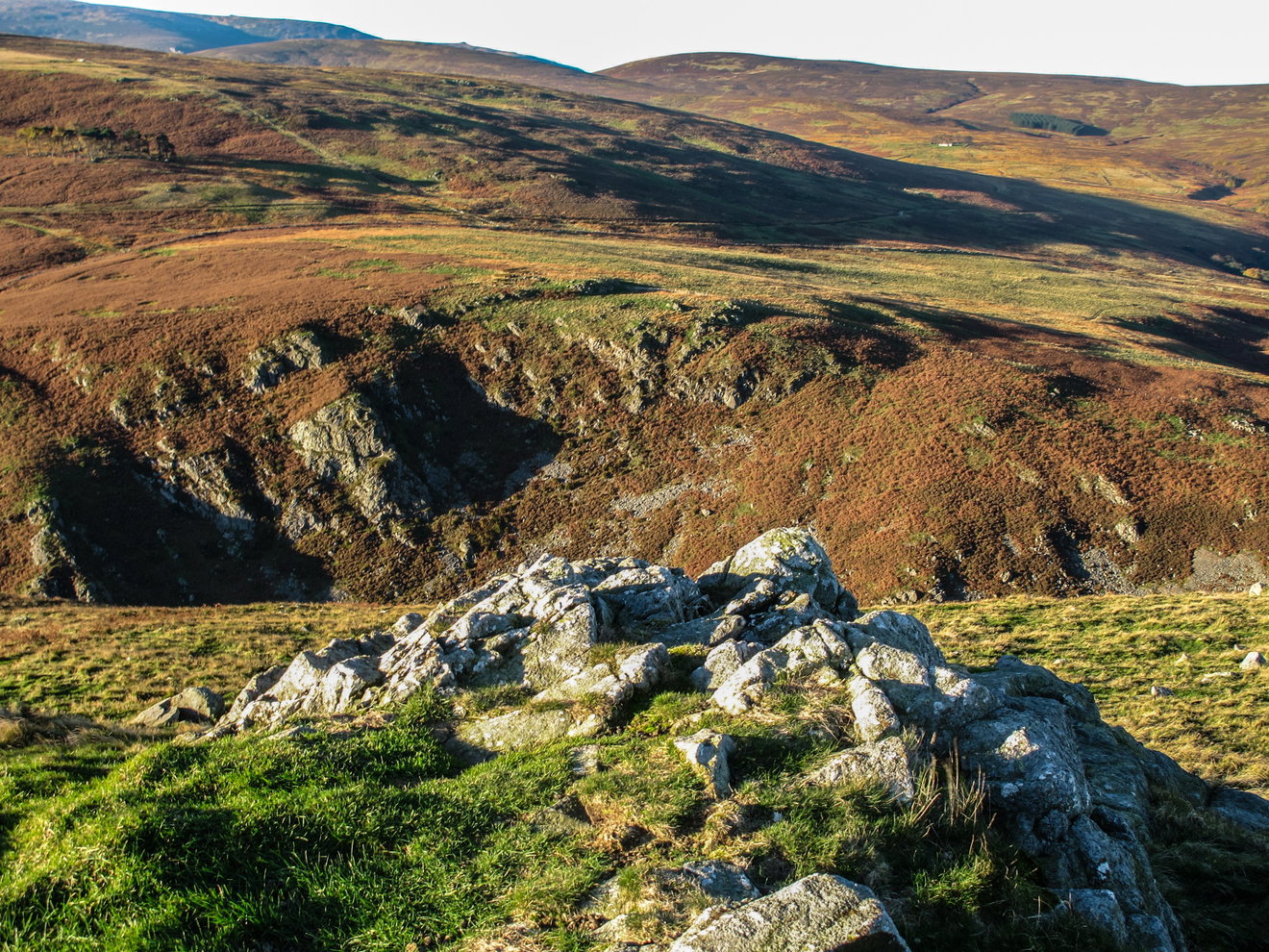
On the way you'll come across a solitary old tree and the scant remains of a cottage known as Switcherdown.
There's not much left of it today and, interestingly, there wasn't much left when W. Ford Robertson visited a century ago either. In Walks from Wooler he described Switcherdown as already being a ruin surrounded by a clump of elm and ash trees.
He also recorded a local tradition that a witch once lived here. Whether she did or not is another matter, but it's a good excuse to have a look over your shoulder before carrying on.
Robertson was certainly right about the view. From here you can look into the lower Harthope Valley towards Langlee Crags, Housey Crags and Hedgehope Hill in the distance.
Continue downhill and you'll eventually arrive beside the Carey Burn, before making your way into the Harthope Valley. It's a lovely section of the walk and one where you're likely to hear the local pheasants long before you see them.
There are plenty around here. The little road through the valley has been carrying walkers and travellers into the hills for a long time. Robert Hugill described it in his 1931 Road Guide to Northumberland and The Border as a rough but passable road through the beautiful Harthope Valley.
We're only following it for a short while before beginning the main climb of the day.
Cold Law
From the Harthope Valley, we now start the long climb towards Cold Law. The lower section follows an old green track which can be pretty wet after rain before gradually becoming a thinner path through the heather.
Keep an eye out for one of the old boundary stones found around this part of the Cheviots. This particular stone is marked SH and, from a distance, looks remarkably like a lonely old gravestone.
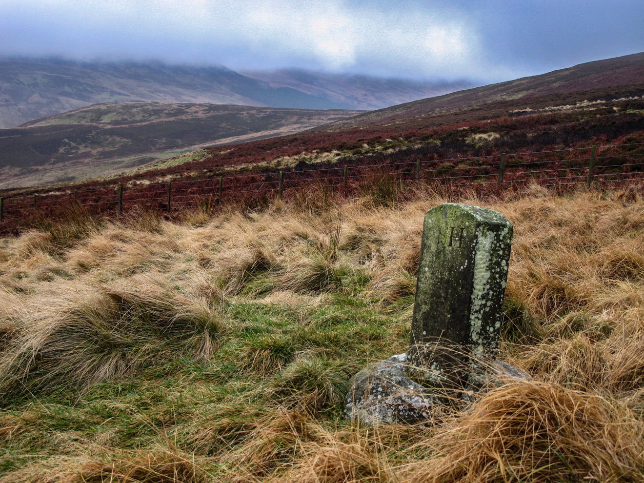
There are plenty of these stones scattered around the hills and they're easy to walk straight past without noticing them.
The climb continues onto the higher ground towards Cold Law, passing a few small rocky outcrops before the trig point finally comes into view.
At 452 metres, Cold Law is considerably higher than Hart Heugh and, as the name rather suggests, it can be a breezy old place.
The summit itself is mainly covered in heather, with the trig point standing on its own little patch of cropped grass.
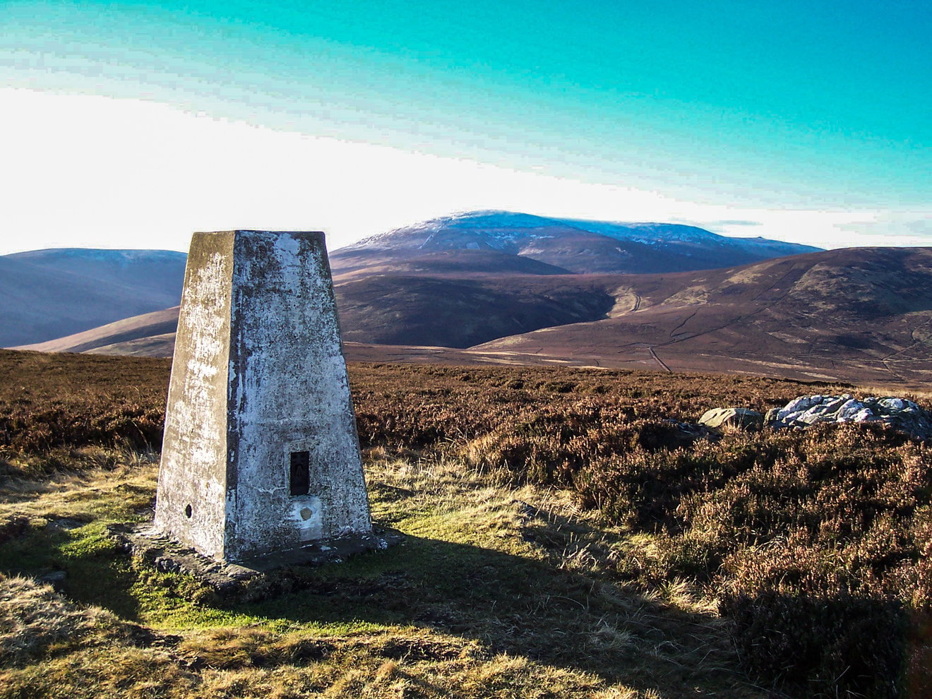
Cold Law's trig was historically a third order triangulation pillar. The nearest secondary pillar is on Hedgehope Hill, around 4km away, while the great primary pillar on The Cheviot sits roughly 5.5km away.
You don't need to know any of that to enjoy the view, of course. From the summit you can pick out The Cheviot, Hedgehope Hill and Broadhope Hill, along with a fair chunk of the surrounding Cheviots.
There's also a walker's cairn a short distance away which gives an excellent view down into the Harthope Valley and, more importantly on the wrong sort of day, can offer a little shelter from the wind.
Carling Crag and Snear Hill
From Cold Law, our route now heads towards Carling Crag.
It's not one of the more dramatic rocky outcrops in the Cheviots, but it adds another bit of interest before the long descent over Snear Hill. This is generally much easier going than the climb up Cold Law, although the ground can still be damp in places.
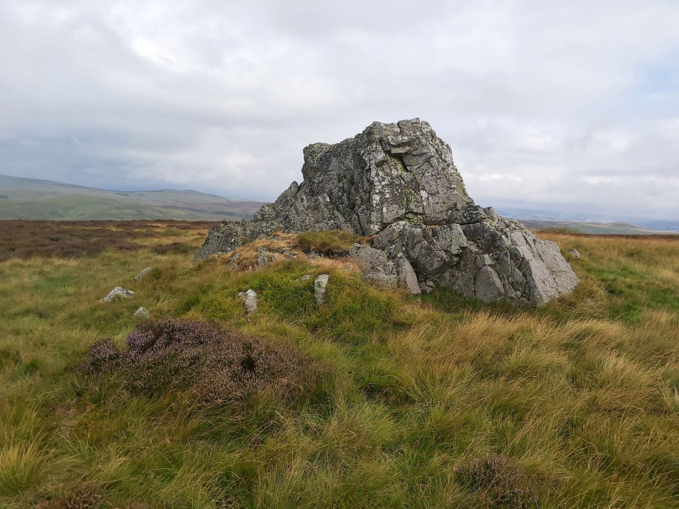
As you lose height, the landscape ahead really starts to open up. Look across Wooler Water and you'll be able to pick out Ros Castle, with the Northumberland coast beyond on a clear day.
Eventually we'll find ourselves back beside the Carey Burn and the little road crossed earlier in the walk.
The current Carey Burn Bridge dates from 1956, but look slightly upstream and you can still spot the stone pillars belonging to an earlier footbridge which was washed away during the extensive floods of 1948.
We're not heading back towards Wooler just yet though. Instead, it's time to follow the Carey Burn.
Careyburn Linn
The Carey Burn squeezes through an increasingly narrow valley here, with the path following the hillside a little above the water.
It's a cracking little section, although the path becomes narrower and rougher as you progress, so it's worth watching your footing.
Eventually you'll arrive at Careyburn Linn, one of the highlights of the walk. W. Ford Robertson was recommending this spot to walkers nearly a century ago. In his 1926 guide he described Careyburn Linn as a favourite picnic spot and reckoned the waterfall made a good subject for the camera. He wasn't wrong.
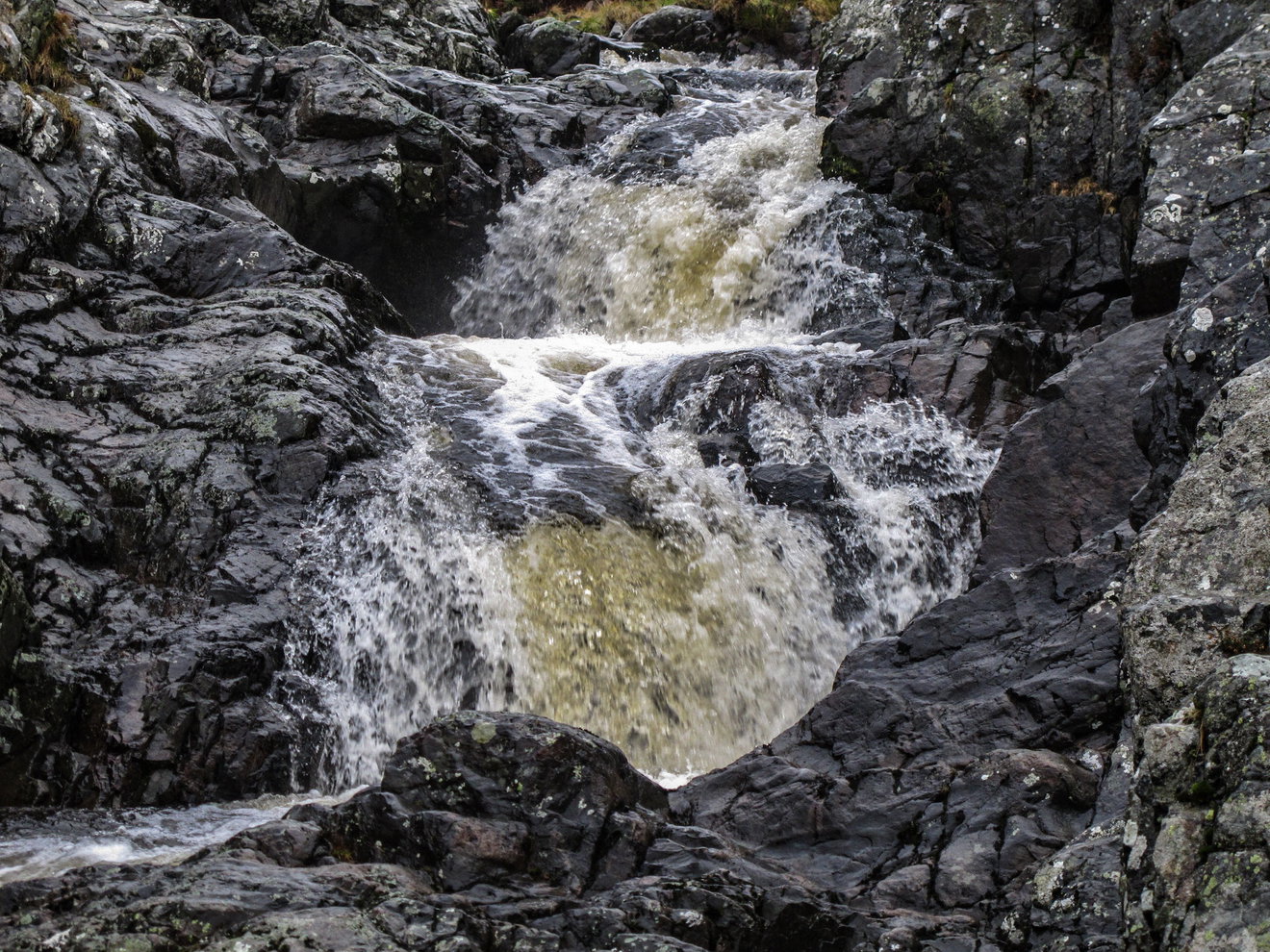
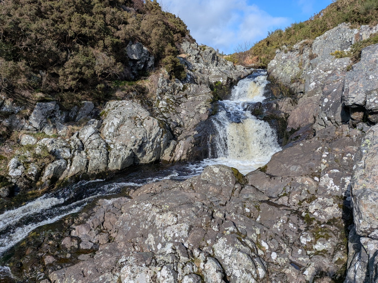
It's a lovely place to stop for a while, particularly if there's been enough rain to get plenty of water coming over the falls.
From Careyburn Linn, continue upstream through the narrow valley. At one point the path drops right beside the water and needs a little care, but there's nothing particularly difficult.
You'll also pass a wooden shelter before the route continues alongside a plantation. Some of the ground here can be wet and there are sections of old wooden walkway to help you across the worst bits.
And then we arrive at something with a much more exciting name.
The Hellpath
The Hellpath sounds like someone took one look at the climb and named it accordingly.
Sadly, the truth may be slightly less dramatic. The name is thought to simply be a corruption of hill path. Anyone who's tackled it towards the end of the annual 20 mile Chevy Chase fell race may disagree with that explanation.
For runners, it comes as a fairly nasty sting in the tail. Fortunately we're taking things at a more civilised pace, but it's still a decent climb after you've already got Cold Law in the legs.
The Hellpath takes us away from the Carey Burn and back onto the open moor, with Hart Heugh on one side and Fredden and Watch Hills on the other.
The majority of the climbing is now done and we're heading back across Wooler Common towards where we started earlier in the day.
Near the end of the walk, keep an eye out for a small wooden footbridge with a memorial plaque on its handrail:
In memory of Stanley Bell 1916-1991
Who loved these hills
A simple little memorial and a fitting place for it.
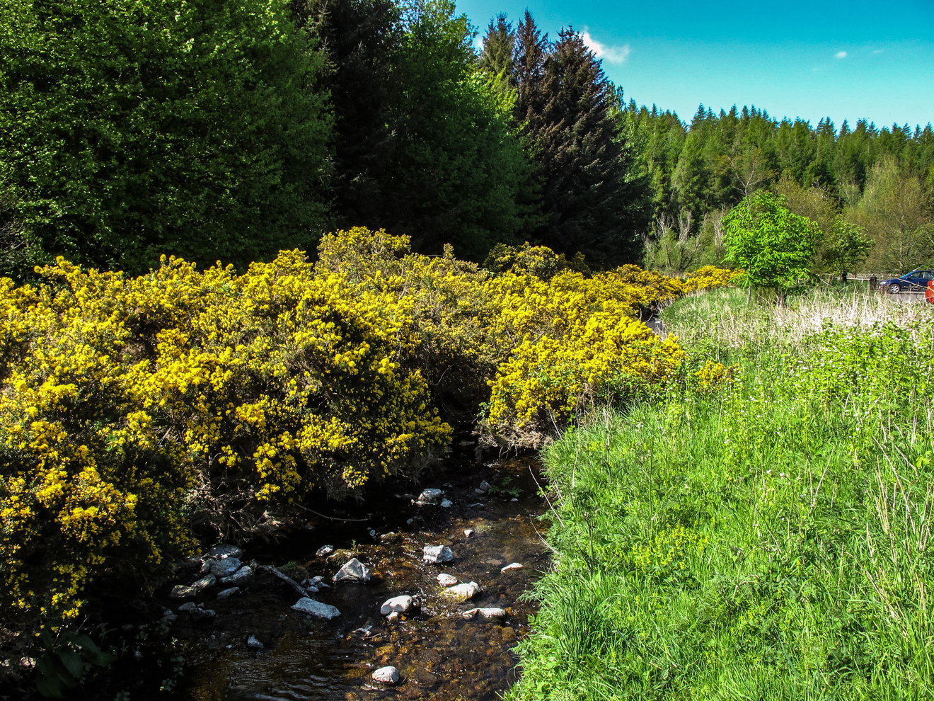
From here we make our way back past Brownslaw and Petersfield before returning to the Humbleton Burn Picnic Area.
Hart Heugh, Cold Law, a witch's cottage, old boundary stones, Careyburn Linn and the Hellpath. Not bad for a wander from the edge of Wooler.
Where to Park For Humbleton And Harthope Ramble
Where To Park For Humbleton And Harthope Ramble?
What three words
There is a large car park at Wooler Common.
Contributed by Geoff Holland
Geoff has spent decades walking the Cheviots and has covered just about every inch of them, from the well known summits to paths and corners most people never see.
More Walks from Geoff
More Places In The Cheviots
Find more fabulous places in The Cheviots, Northumberland and if you know of a place we haven't listed, then let us know.
Shillhope Law Trig Point
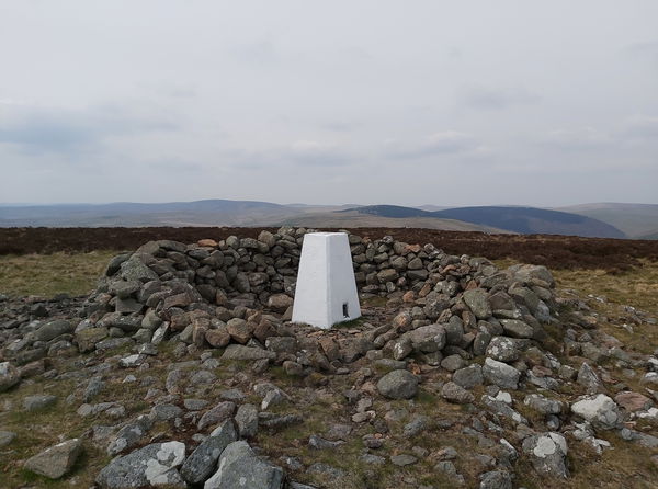
Trig Point The Cheviots NorthumberlandThe trig point sitting on top of Shillhope Law (501m).
Great Hetha Hillfort
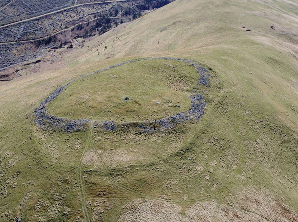
Hillfort The Cheviots NorthumberlandAn Iron Age hillfort sitting on top of Great Hetha in the College Valley.
Sinkside Hill Hillfort
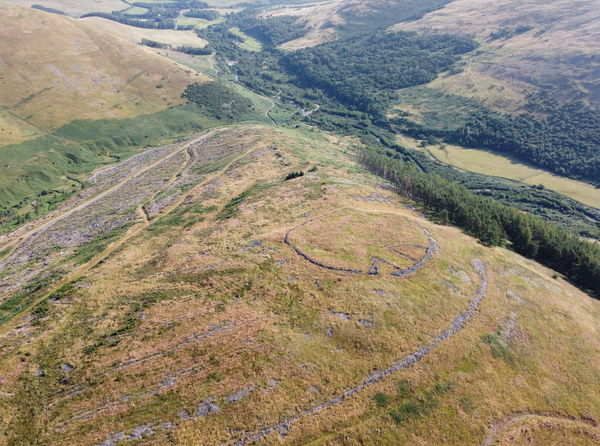
Hillfort The Cheviots NorthumberlandAn iron age hillfort on top of Sinkside Hill in the north west of the Cheviots.

Find Us On Facebook
We post all our new places daily on our Facebook Groups page, so join the group today and be notified when we add a new place.
Join Our Facebook Group