4 Hillocks And A Ridge Walk Outside Durham
Durham, County Durham
A 7km easy walk covering Shincliffe Pinnock Hill, High Woods, Mountjoy, Maiden Castle, and Whinney Hill on the outskirts of Durham.
Distance - 7km (4 miles)
Ascent - 80m
Duration - Approx 2 hours
Terrain - Tracks, fields and woods, so can be muddy and slippy slopes. Best wear walking boots.
Parking - There is parking at Houghall Lane, but this can get busy. I choose to park along Low Lane and walk along A177 to Houghall Lane. View Parking Map
View Route On OS MapIf you seek a walk that should keep your interest sated, but won't tire out your legs too much, then how about a walk around the outskirts of Durham? Curiously most of the hills were about 80 metres high (from sea level).
A lot of the walk is on University-owned permissive footpaths. I had completed the walk in both spring and autumn, so there is a nice variety of photos.
I parked along Low Road and walked to the main road (A177) to Shincliffe Bridge, which it is suggested could have been an earlier Roman crossing.
The bridge was designed by Durham architect Ignatius Bonomi and constructed in 1826.
I turned left immediately after the bridge. By the way, on most of this walk I would veer to the left unless it was access-restricted.
After a short stroll along the River Wear, I came out onto Houghall Lane. Houghall is pronounced as you would say "rough", so it sounds quite appealing.
The name could come from Anglo-Saxon times and refer to Water Meadow by the hill spur. Along the lane and I could see one of my challenges - High Woods Ridge.
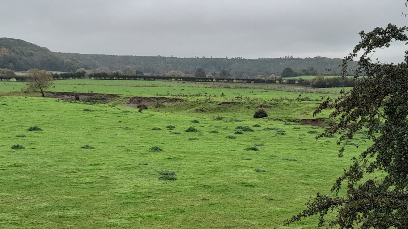
If I hadn't read about it I would not have looked for Durham Canyon. On your left on the 25 acre named Battery Field (which is part of Houghall Agricultural College), you can see some disturbed earthworks.
In 2009, torrential rain caused a channel so part of the field was swept away due to the underlying soft sand. It flowed into the River Wear which was full of flood water.
The college had no insurance for the field so the barley crop was lost and they have since chosen not to fill the gully in.
Further along, Houghall Colliery remains are on your left and is a mining pit. In 1840 coal was mined from the Hutton seam here, and a small colliery village was built during the 1860s with a school and chapel.
Mining ceased here in 1884 and the village was demolished in the 1950s, but you may still find remains such as brickwork with the name of one of the owners 'LOVE'.
The area was then planted with trees, which has become a bit of a haven.
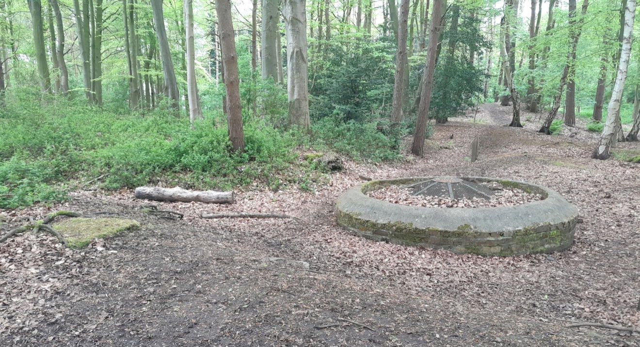

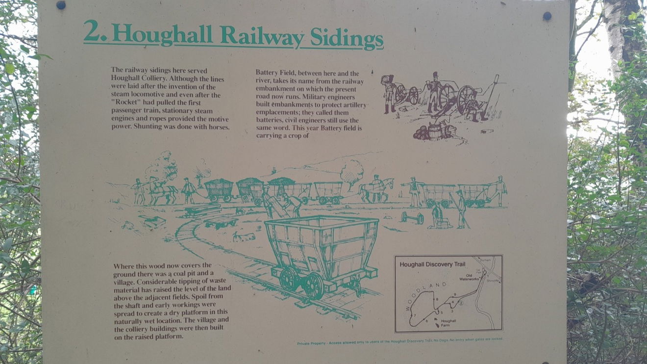
I did go over to the edge of this wooded area and found part of the old Railway sidings, which the information board explains.
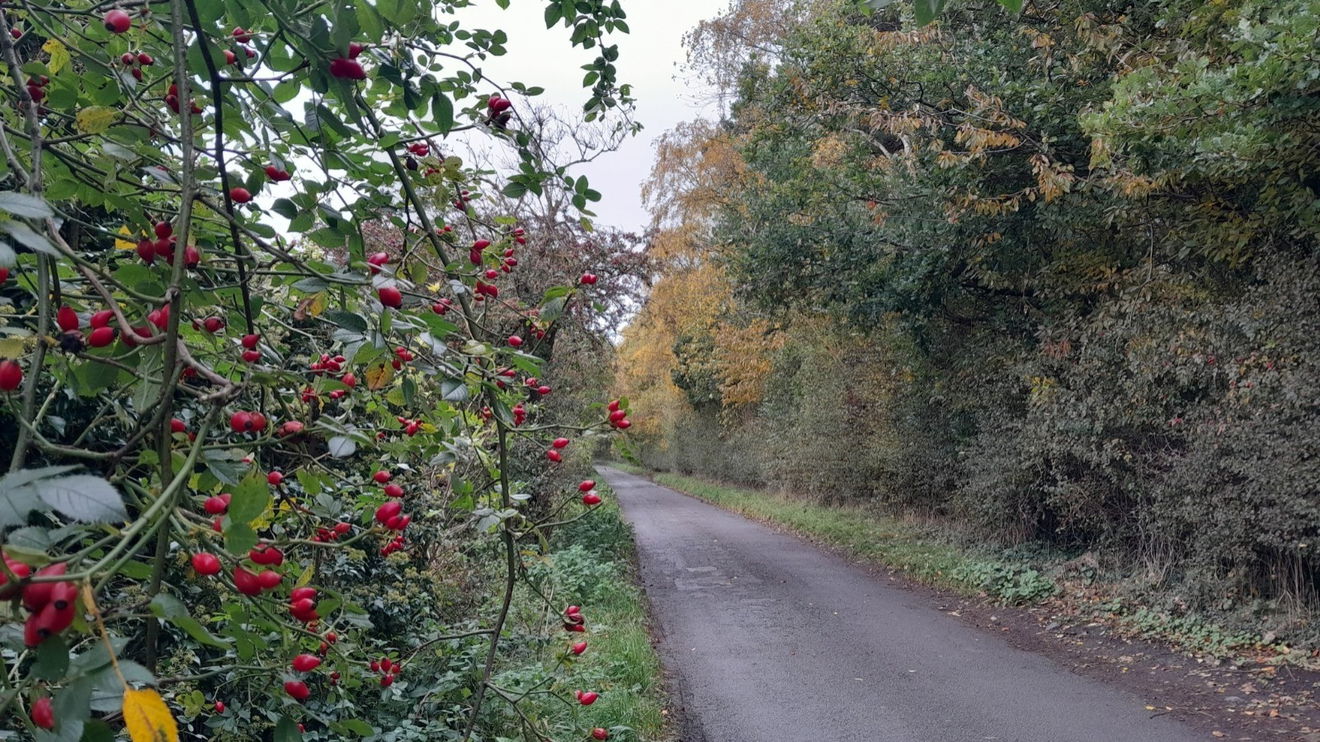
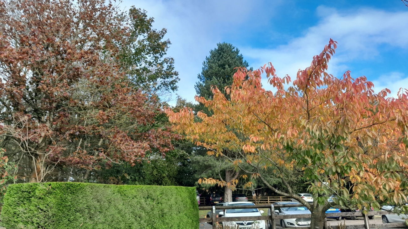
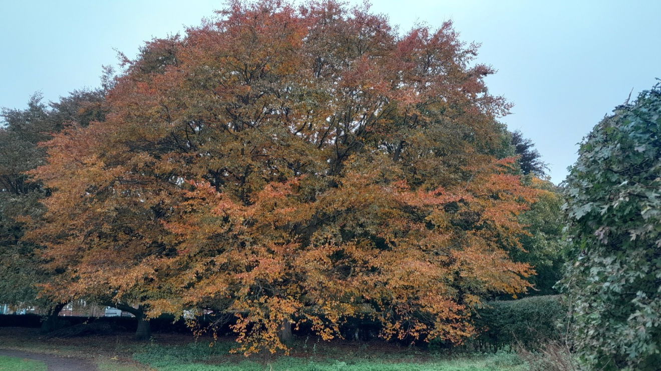
I amble along the pleasant lane admiring the birdsong and autumn colours.
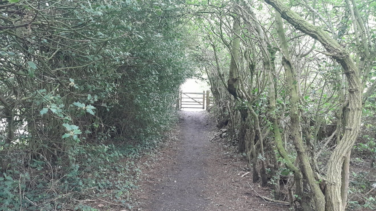
Then it is a case of keep going straight. After all, you are on the old railway line. There's a gate to go through which has a pleasing vista when you look back at it.
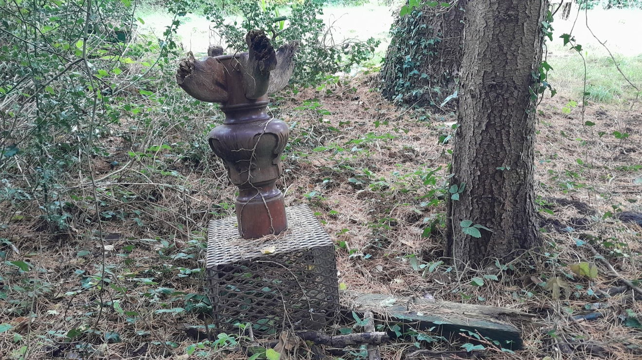
On the left, I'm not sure if someone has just left junk or tried to create a bit of art. What do you think?
We are now onto an embankment of the old waggonway/railway line and the neaby board gives a bit more information on this area.
The 'dip' is said to be where a pedestrian walkway underneath collapsed.
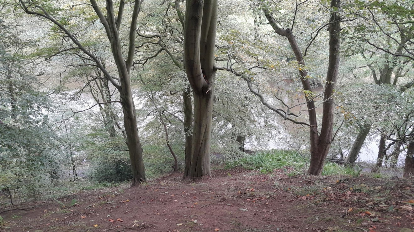
There are trees such as bird cherry, birch, and willow. There is a stiffish walk-up to keep you honest.
I make my way to the left and there is a rather overgrown mound to my right that looks like it could have been a spoil heap. I walk around this and am now at Pinnock Hill.
Many of the rights of way have been derived from miners walking to and from their pits. A commercial plantation of sycamore with larch as a nurse crop was established in about 1940.
A flock of geese called out as they presented me with a fly pass, not sure if they were departures or arrivals.
After a 'once around the mound for luck', I head to Hollingside Lane, where there is a garden wall of sandstone with flat stone coping. The charming private residence is called Hollingside House. It was once the home of John Bacchus Dykes (1823 to 1876) a renowned composer of hymns and Canon of Durham Cathedral.
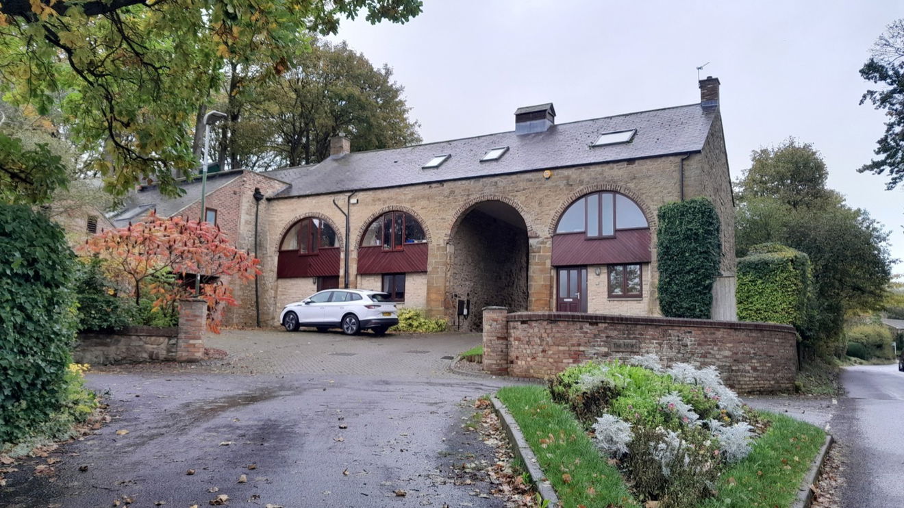
Up the lane a little bit more and I have a pit stop at The Botanic Gardens.
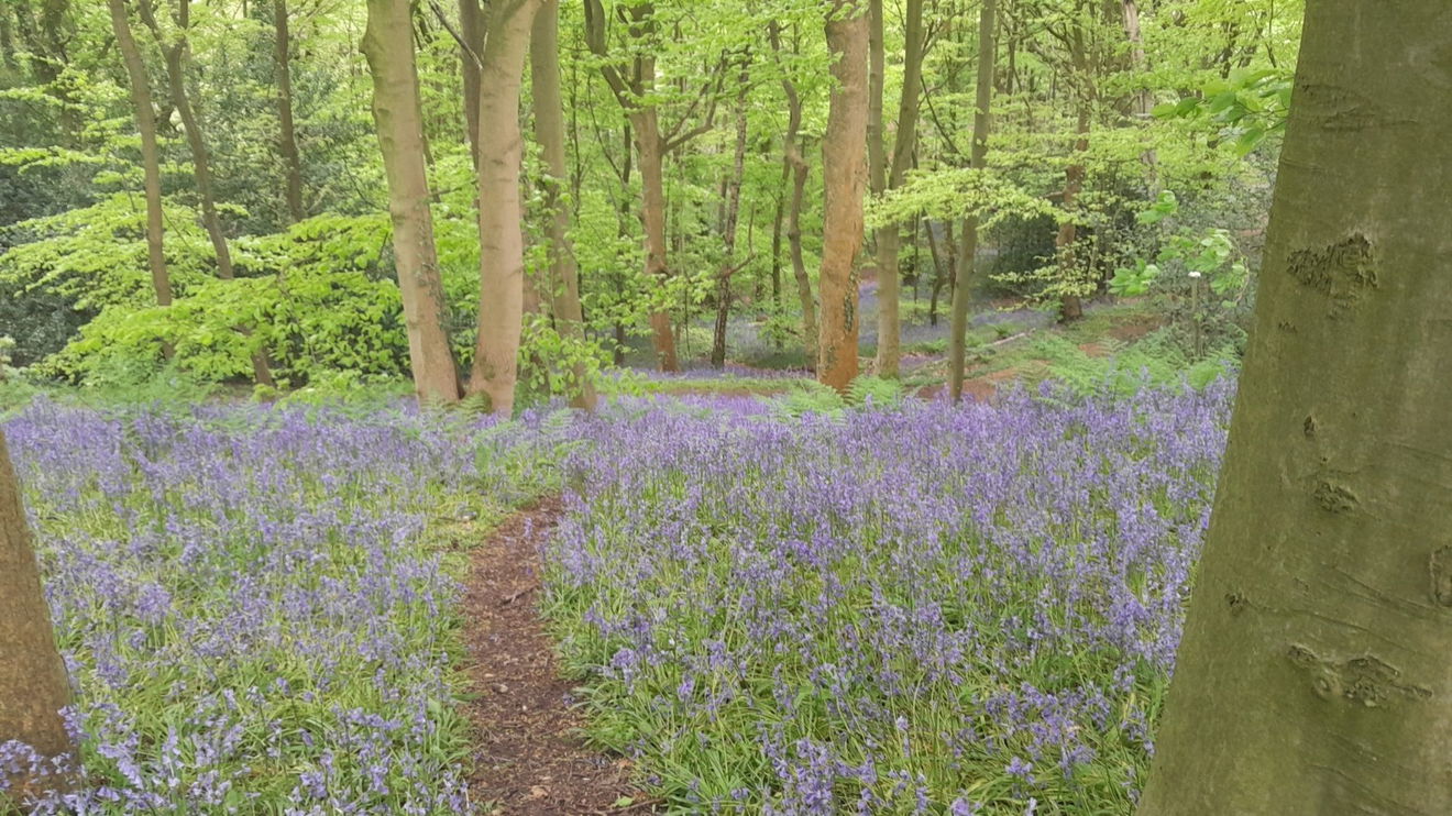
I head back to the entrance into High Wood and follow the path using the rule I need to go up.
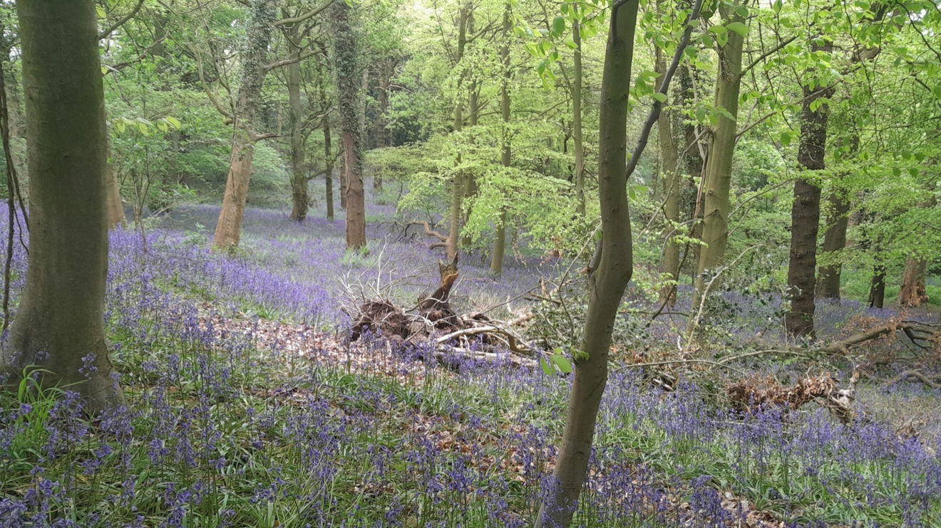
In spring the bluebells adorn the wood.
The wood is now owned by the university, but originally much of the area was owned by the Dean and Chapter of Durham Cathedral who then divided the ownership to three Prebendaries. This is a form of a cannon and is identified by what number his seat was at the back of the choir stalls (known as prebendal stall).
The earliest account of these woods is 1825, then in 1840 they were given to the university.
There is one sneaky left turn that looks like it is going into the uni, but it's not. Please follow and you will come out at Mountjoy cottage. Now it looks like it is heading for demolition.
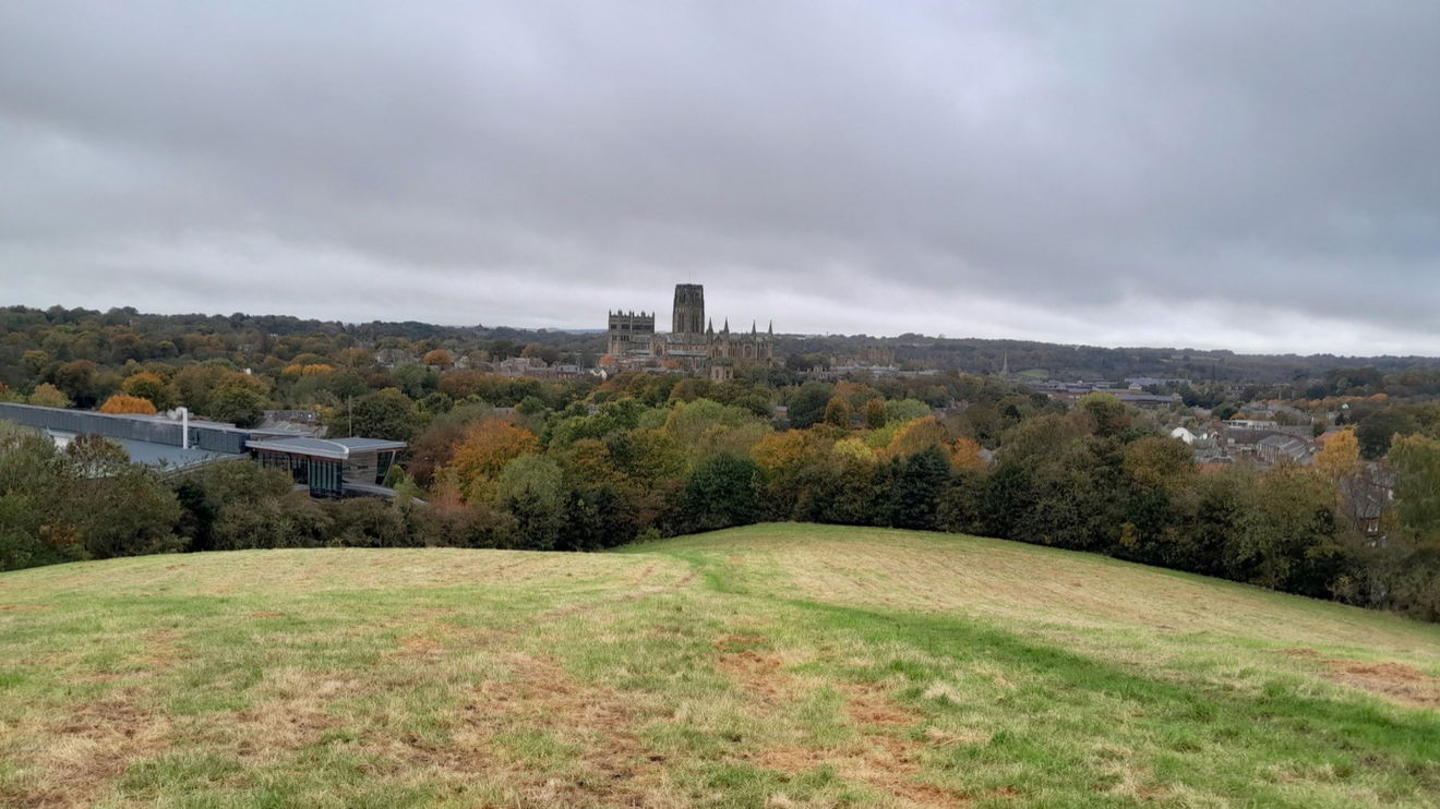
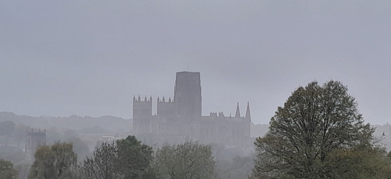
Mountjoy on a satellite map does not get the pulse racing as it just looks like a field. It has though some amazing views of Durham City. You can see the Durham Cathedral, St Mary AKA Durham Museum and Heritage Centre and also Durham Castle. The university and some nice trees. It could have been named Mountjoy as signaling the terminus of a pilgrimage. Behold the spectra of the Cathedral.
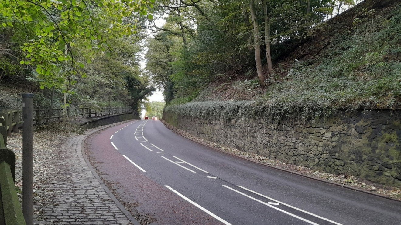
Cross the A177 by the cutting with care. It is a familiar sight when driving through this bit, although I never realised there was Mountjoy and Maiden Castle on either side.
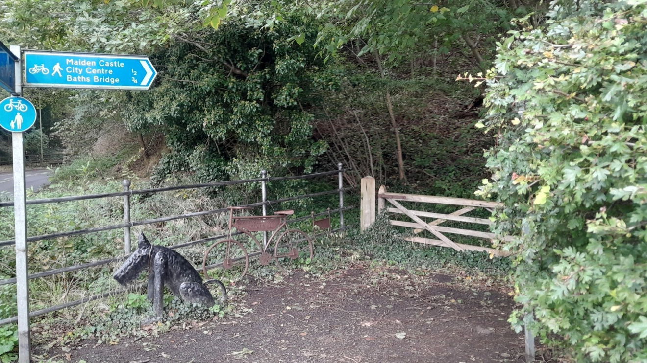
The Butchers Dog greets you on the Maiden Castle side. This is the work of Graeme Hopper known for his Fungate and Maurice Cullen boxing gloves which it looks like the dog had the same treatment. There's a bike named Houghall Island. Graham told me it was so named as that was the reference the council gave to this place due to the pedestrian crossing.
Into these woods there are Beech trees which could have been chosen not necessarily for their wood but the masts that would have fed the hogs/pigs back in the Middle Ages.
Beech trees have a dense canopy and in autumn their leaves create a thick carpet on the ground which is slow to decay. It is for this reason that not much grows underneath.
Forked twigs from this tree are customarily used for divining and herrings are usually smoked using Beech.
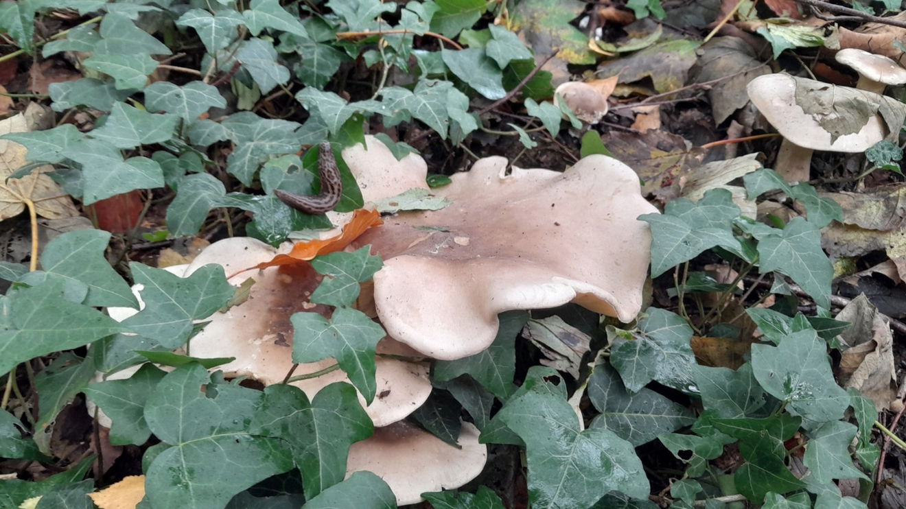
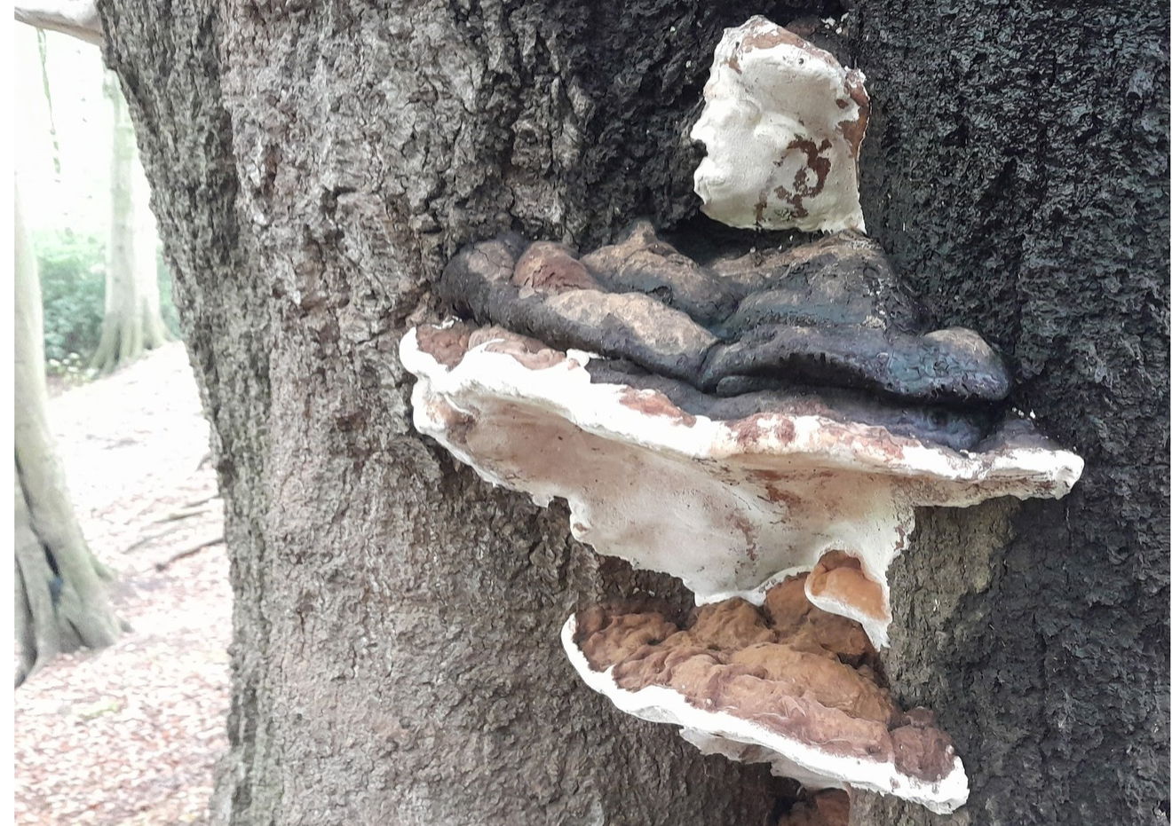
Unfortunately, grey squirrels have a penchant for stripping the bark and they are susceptible to destructive fungi such as Artist Fungus, so-called as you can scribe on the underside and it will stain brown and stay when dried.
You are now at King of the Maiden Castle which in 1956 exploratory activity uncovered that the site was occupied in medieval times. It could date back further to the Bronze Age.
The name may suggest that it was impregnable as there are some steep sides and the river to negotiate. Continuing to walk round and have a look down 100 feet to the gushing River Wear.
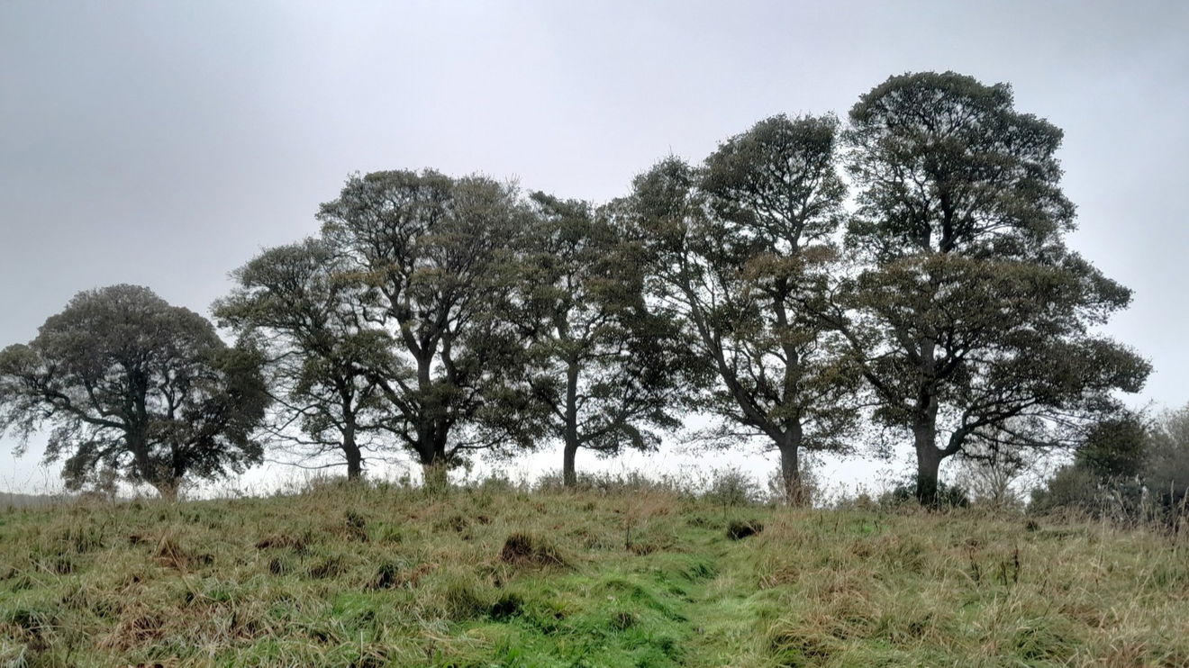
My next port of call and last hillock is Whinney Hill. Greeted by 6 sturdy sycamore trees. The name Whinney comes from the gorse known as whin which probably comes from the old Norse language.
Yet again another fine view of Durham Cathedral. You can appreciate how it dominates the city.
I'm now on the home straight and pass the University Sports Complex.
Cross the road with care, and use a traffic island like most of the students around here do! There are some lovely autumn colours en-route.
As you get back to Houghall Lane there is a tea shop should you wish to indulge. This one is called The Pump House (there's an Indian restaurant too).
In spring I took a route parallel to the A177 for the scents of wild garlic.
Back up Low Lane, I noticed the Old Railway Station which I totally missed at the start.
Shincliffe station opened in 1839, and closed in 1895.
Hope you enjoyed this walk, of which you can vary it as you please. If you have more energy you can nip across to Old Durham, or look at the Fabulous North Map for ideas.
Where to Park For 4 Hillocks And A Ridge Walk Outside Durham
Where To Park For 4 Hillocks And A Ridge Walk Outside Durham?
What three words
There is parking at Houghall Lane, but this can get busy. I choose to park along Low Lane and walk along A177 to Houghall Lane.
Contributed by Rosalind Parker
Thank you for reading. I hope it sparks your interest. It’s always a pleasure to get out and explore, whatever the weather. I enjoy uncovering little snippets of information, especially when they’re obscure, amusing, or meaningful. All photos were taken on a mobile phone.
More Walks from Rosalind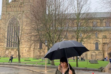
More Places In Durham
Find more fabulous places in Durham, County Durham and if you know of a place we haven't listed, then let us know.


Brancepeth Castle
Castle Durham County DurhamImpressive castle owned by the Neville family until the 16th century.

What Lies Beneath Us
Art Durham County DurhamA large scale pavement map showing the geology of The British Isles.

Find Us On Facebook
We post all our new places daily on our Facebook Groups page, so join the group today and be notified when we add a new place.
Join Our Facebook Group